Download as PDF, PPTX
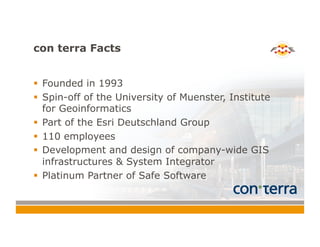
![CityGML | Characteristics
! Multi-Scale Modeling [Level of Detail]
! From landscape up to interior model
! LOD 0 – Regional
model
! LOD 1 – City
model
! LOD 2 – City
model with explicit
roof structure
! LOD 3 – Detailed
architectural
model
! LOD 4 – Interior
model](https://image.slidesharecdn.com/creatingmanagingandsharing3dcitieswithfmechristiandahmenv1-140620120019-phpapp01/85/Creating-Managing-and-Sharing-3D-Cities-with-FME-10-320.jpg)
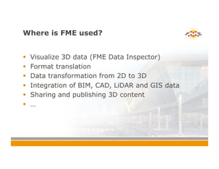
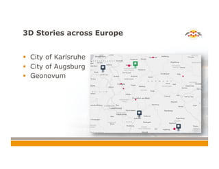

This document summarizes Christian Dahmen's presentation on creating, managing, and sharing 3D cities with FME. The presentation examines 3D data modeling concepts and standards like CityGML. It provides examples of how LiDAR data can be used to generate 3D models combining GIS, CAD, and BIM data. The document also discusses strategies for sharing 3D content and how FME can be used for 3D data integration tasks like translating between formats and transforming 2D data to 3D. Case studies from Karlsruhe, Augsburg, and the Netherlands are presented that illustrate real-world FME applications.


