Download as PDF, PPTX
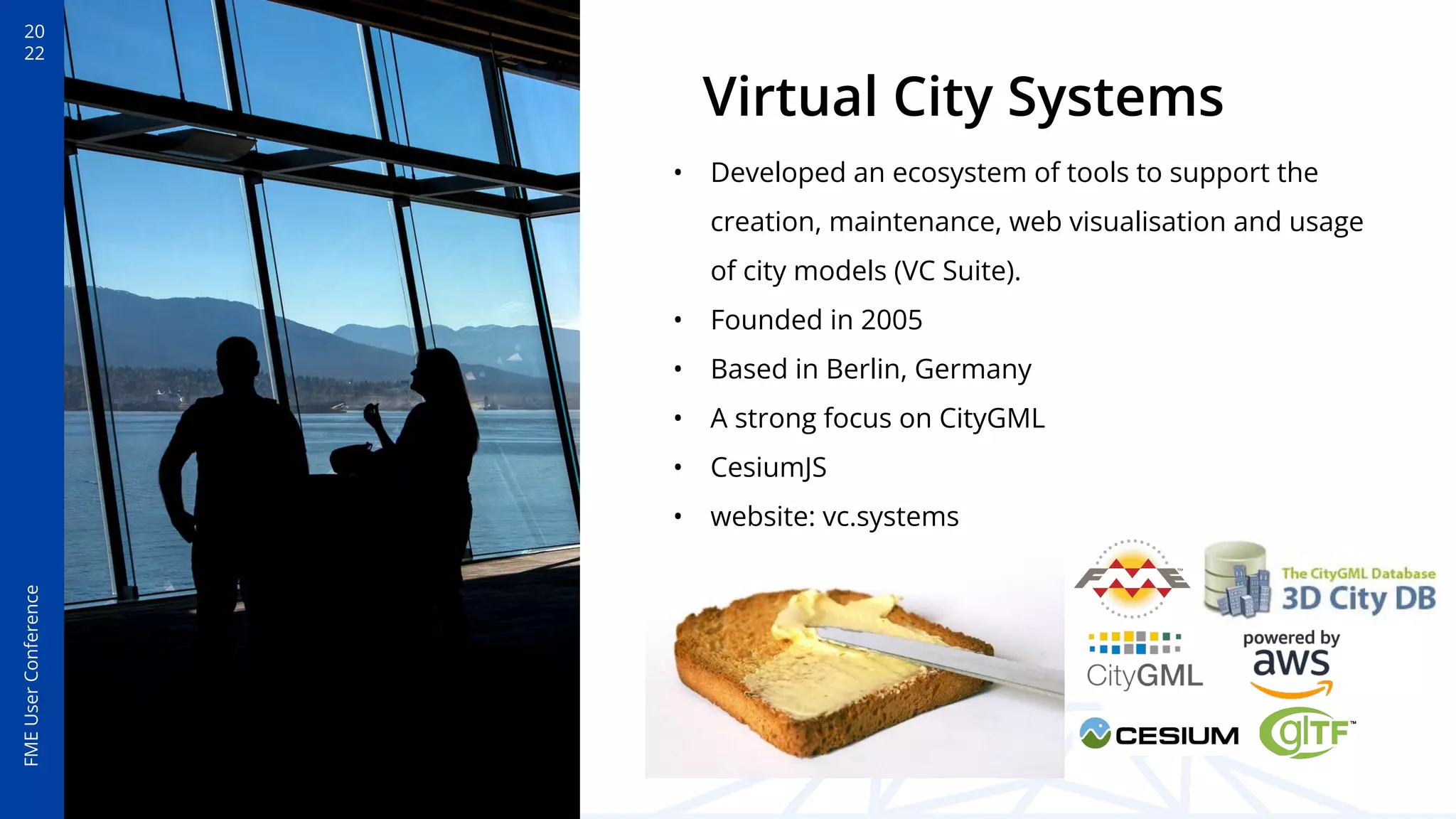
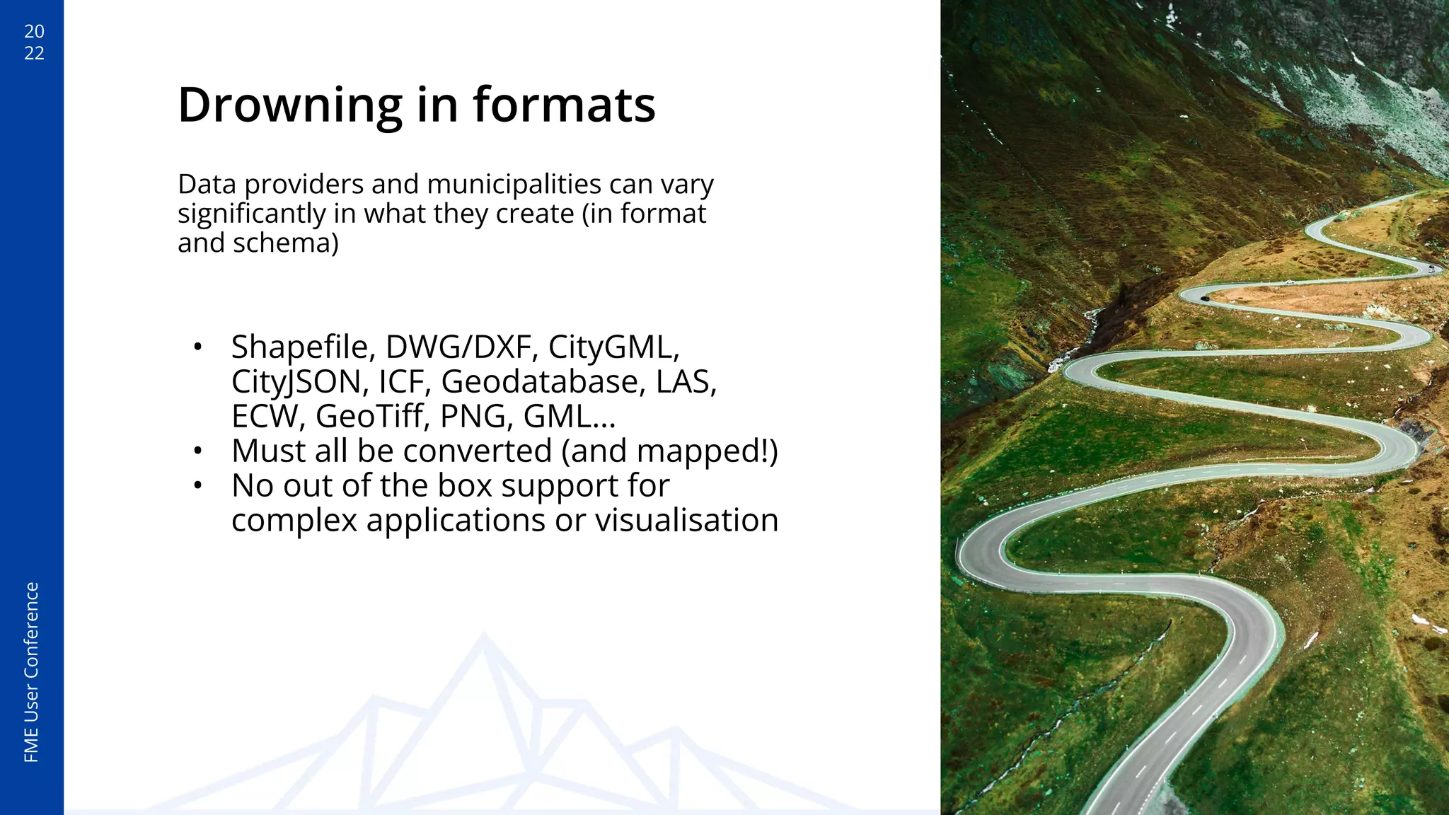
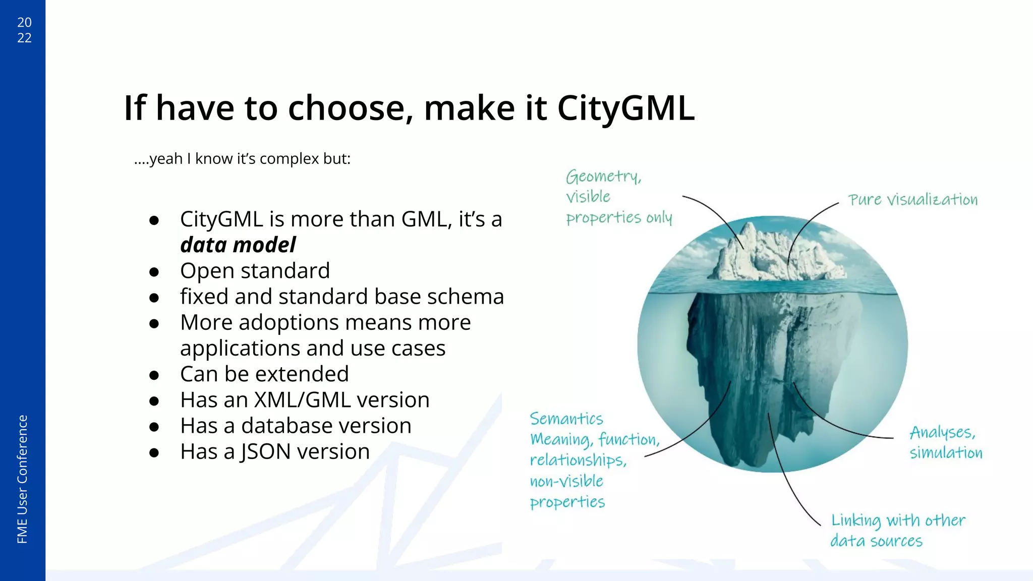
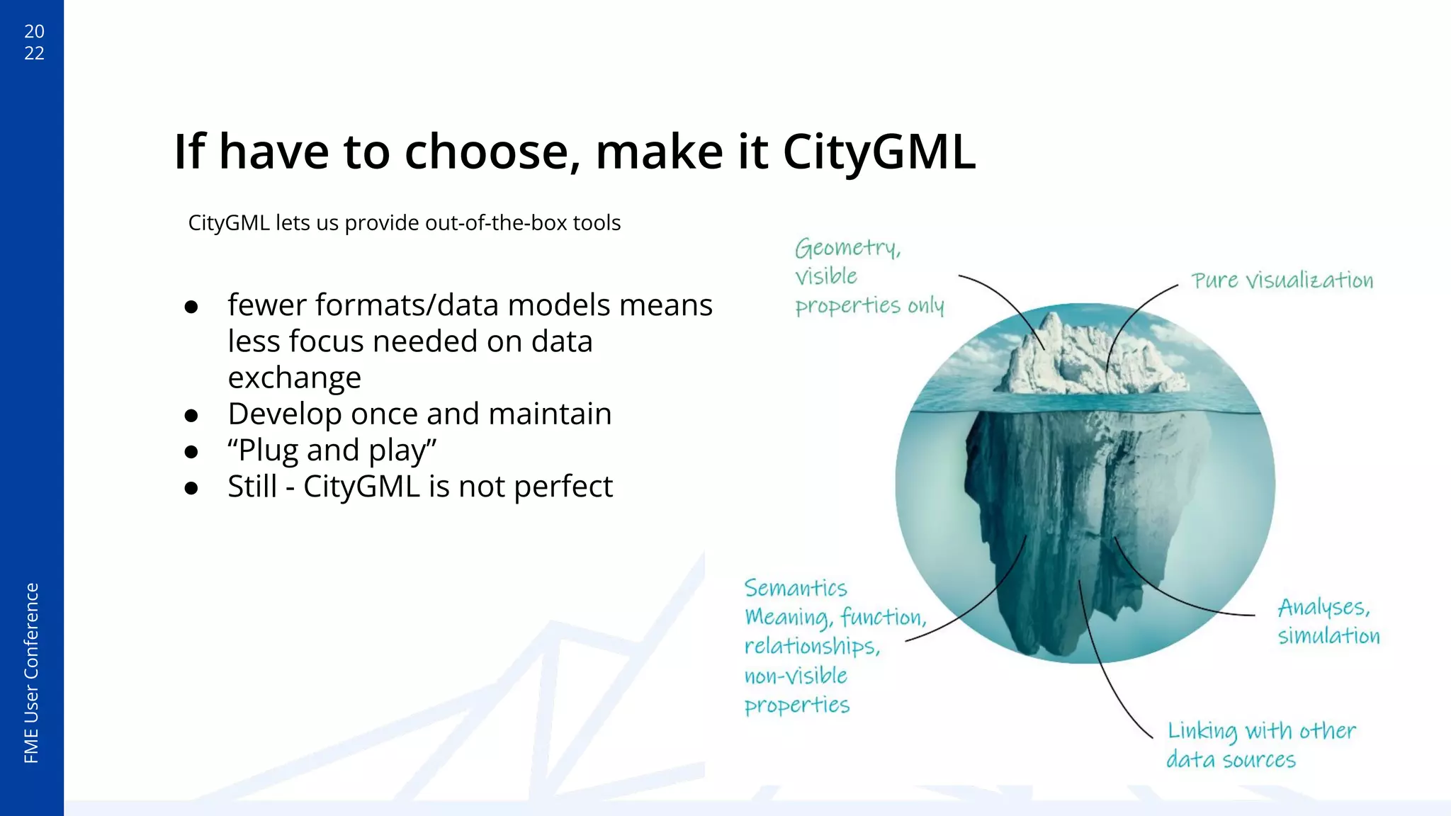
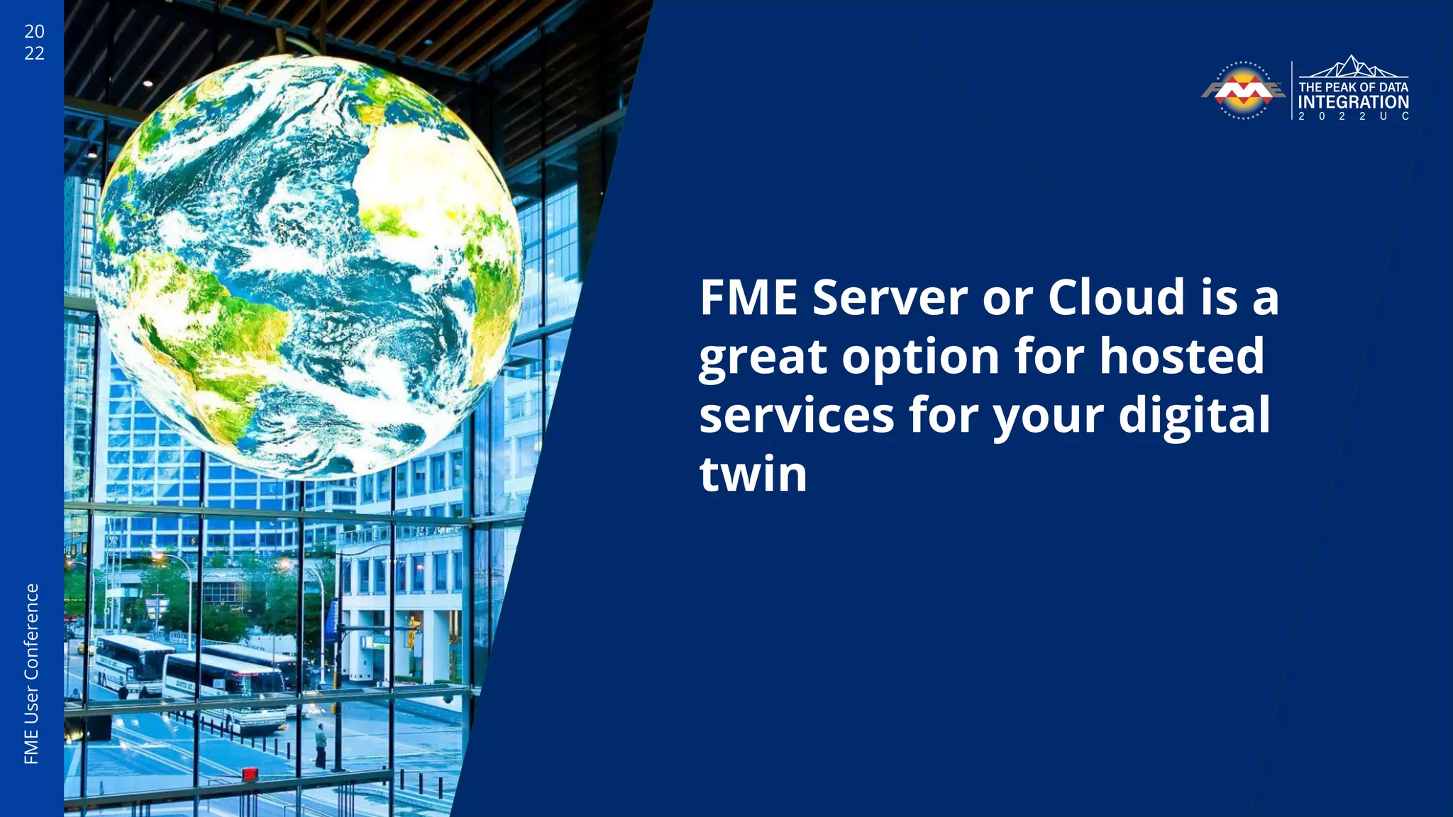

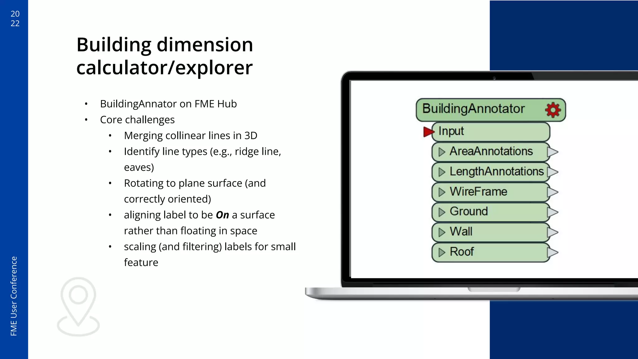

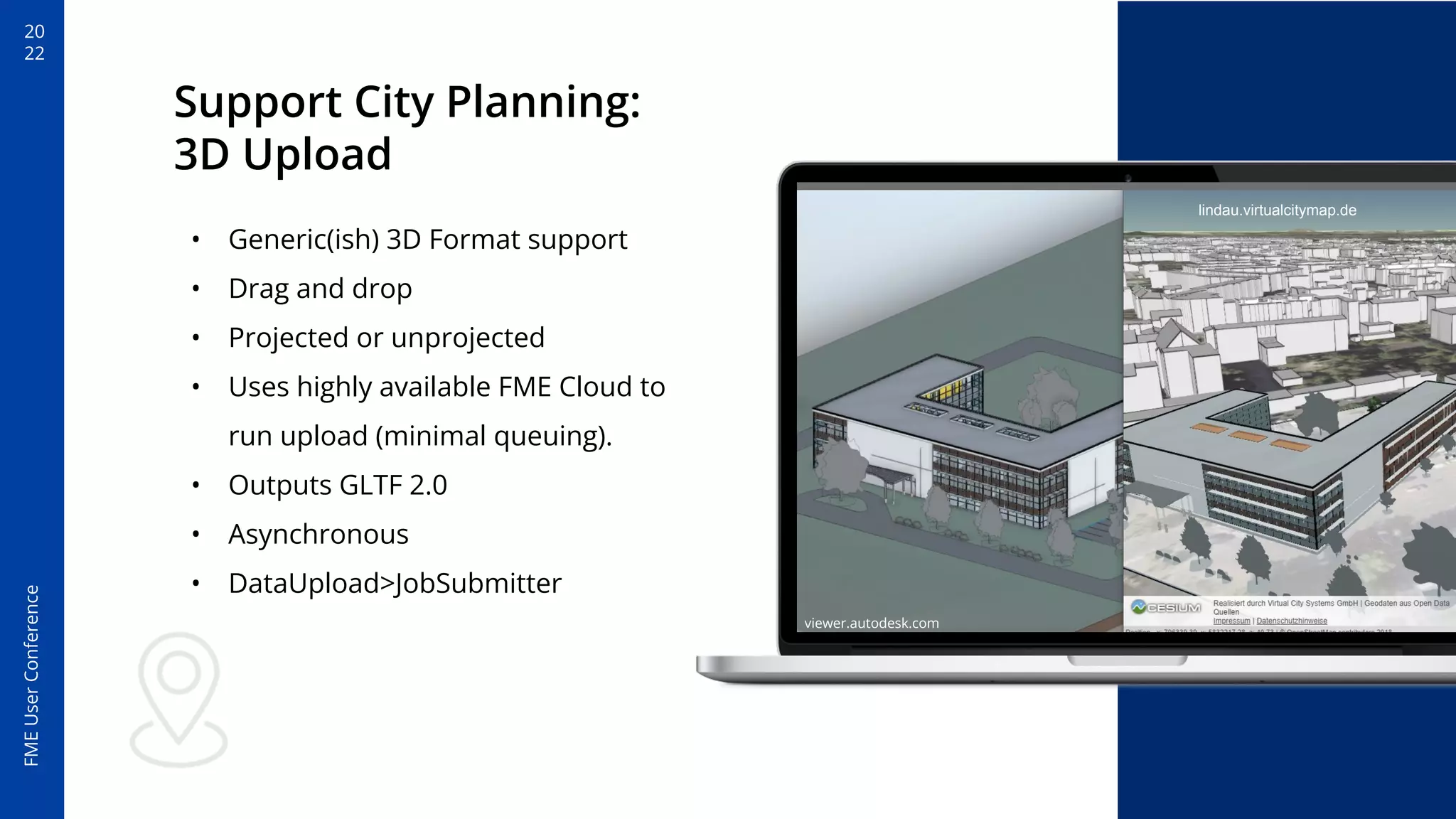
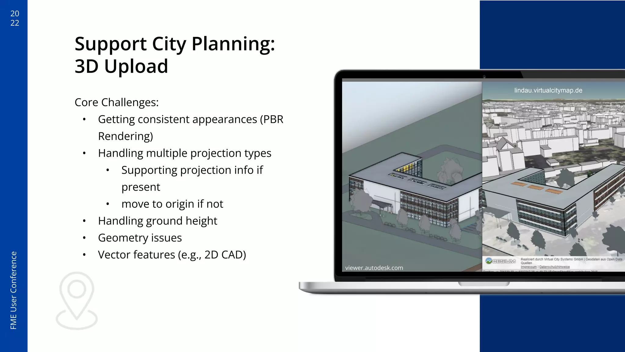
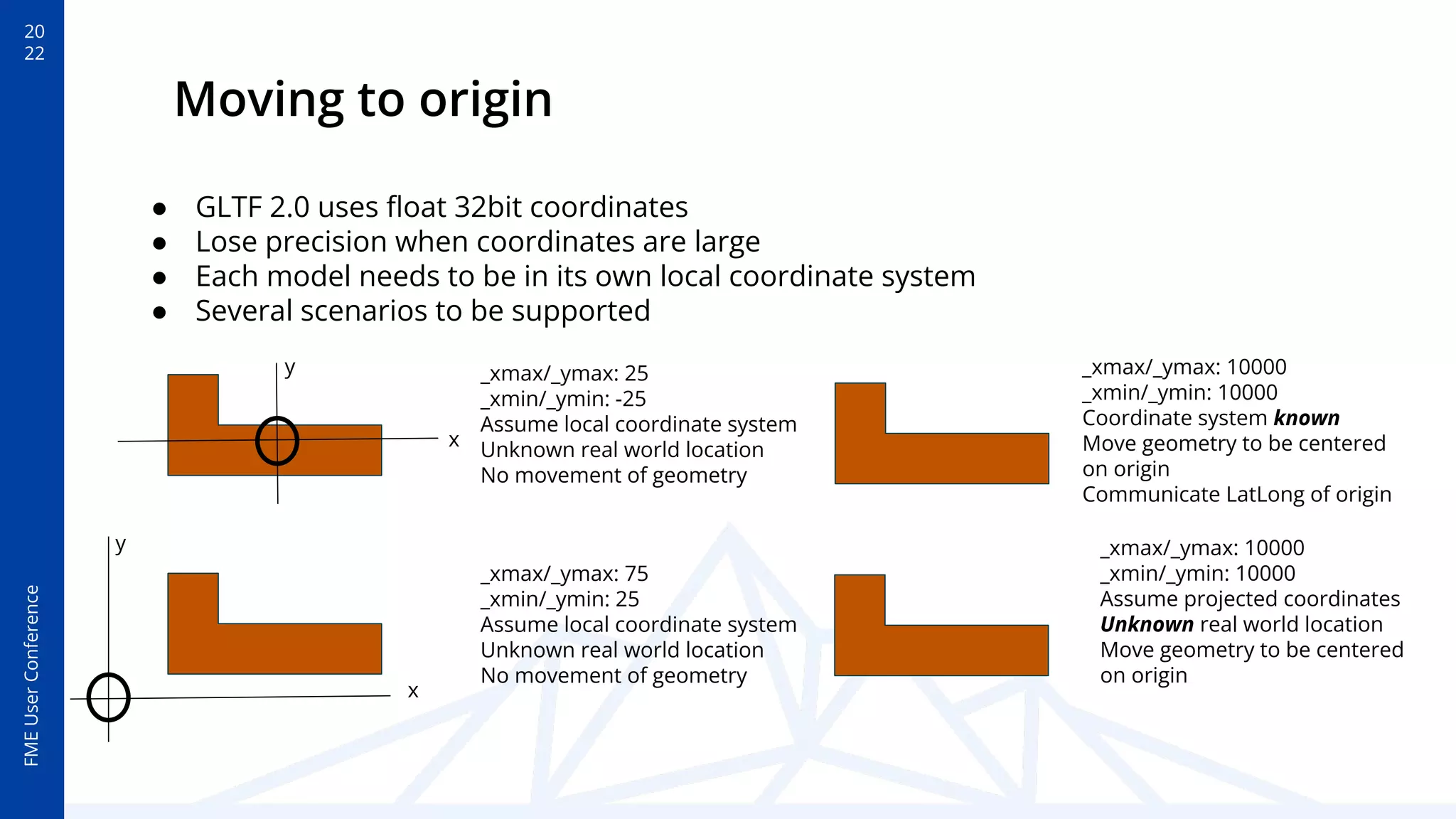

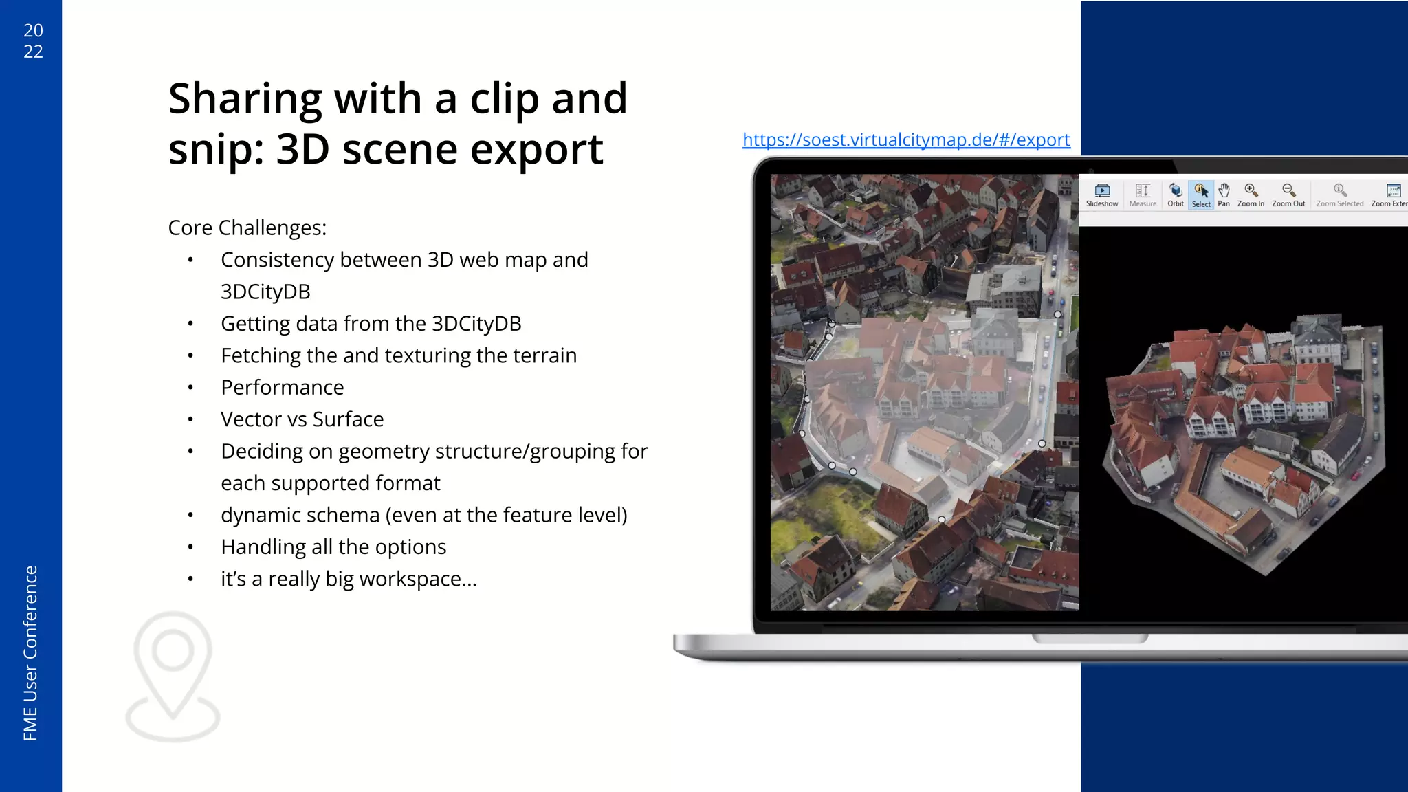


The document discusses the applications of 3D city models using FME Server at the FME User Conference 2022, highlighting tools developed by Virtual City Systems to support city planning and visualization. Key examples include a building dimension calculator, 3D upload support, and scene export functionalities, all utilizing CityGML and various cloud-hosted solutions. The presentation addresses challenges in data consistency, format conversions, and geometry handling in 3D modeling.


![Vibe Coding vs. Spec-Driven Development [Free Meetup]](https://cdn.slidesharecdn.com/ss_thumbnails/vibecodingvsspecdrivendevelopment-251209105622-43f455e7-thumbnail.jpg?width=640&height=640&fit=bounds)


