Download to read offline
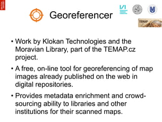
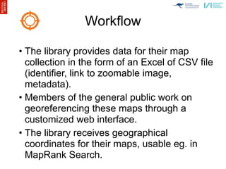
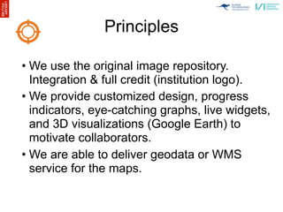
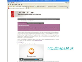
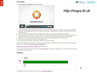
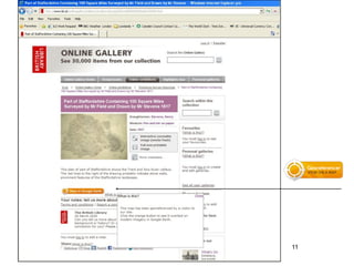
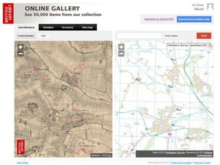
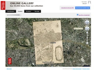
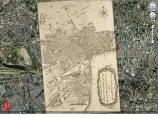
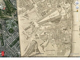
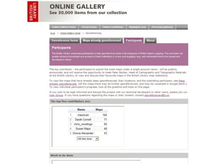
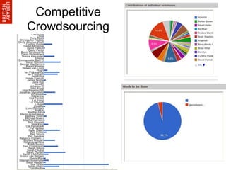
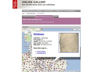
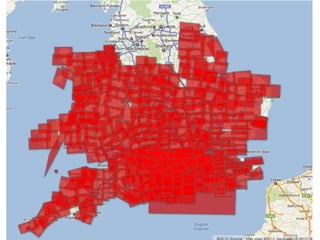
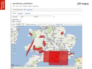
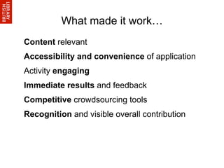
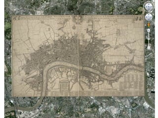

A partnership between the British Library, Klokan Technologies, and the Moravian Library aims to improve crowdsourced georeferencing using the Georeferencer tool. Georeferencer allows libraries to provide scanned maps online and crowdsource the addition of geographic metadata. It has been successfully piloted at the British Library, where over 700 maps were assigned spatial metadata by around 90 participants in just 5 days through social media promotion and competitive features. The tool integrates with existing online collections and delivers enriched geographic data back to the libraries.


