Download to read offline

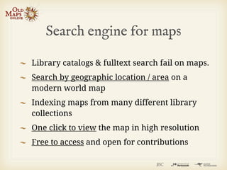
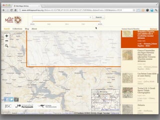
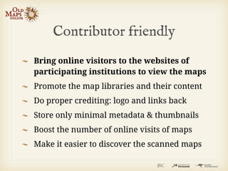
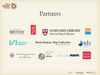
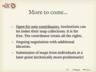

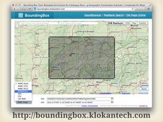
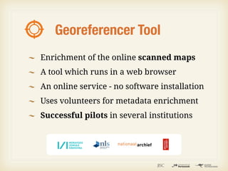
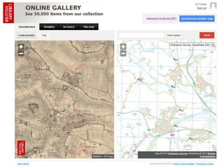
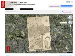
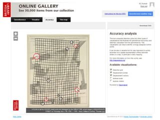
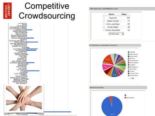
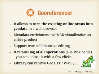
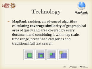
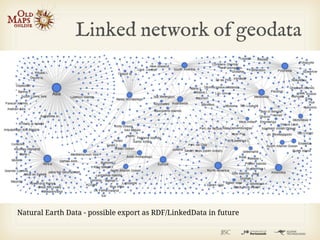
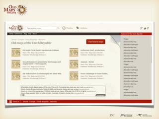
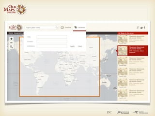

Managing director of Klokan Technologies GmbH, a small Swiss company that develops innovative geo applications for cultural heritage institutions. The document discusses Old Maps Online, a project that provides an easy-to-use gateway for searching historical maps from libraries around the world. It allows users to search maps by geographic location on an interactive world map and view high resolution maps from contributing institutions with proper crediting back to the libraries. The project is open to additional map contributors and uses tools like BoundingBox and Georeferencer to help enrich map metadata.


