

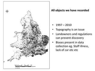
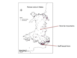
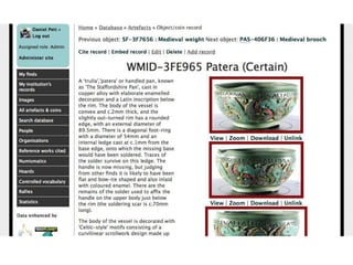
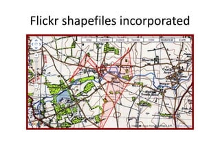
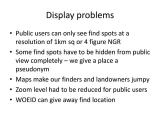
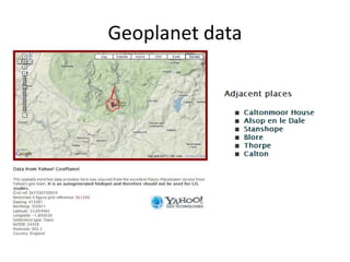
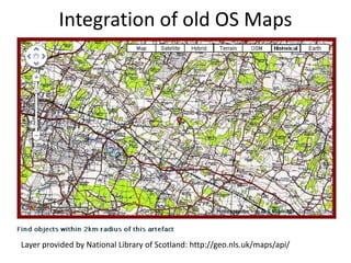
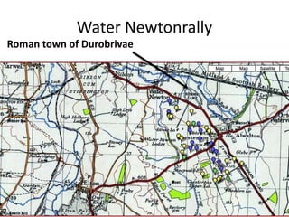
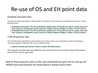

This document discusses the British Museum's database of archaeological finds and efforts to integrate geospatial data to enrich the records and make them more useful for research. Key points include: - The database contains records of archaeological objects found in the UK but spatial data is not fully utilized currently - Adding GPS coordinates and linking to other datasets like historical maps and photos could provide valuable context about the finds - Technical challenges include protecting private location data and displaying maps at appropriate levels of specificity - Integrating additional geospatial sources could help researchers study patterns of human activity and landscape use over time


![5G Explained! A High Level Overview [Introduction]](https://cdn.slidesharecdn.com/ss_thumbnails/5gexplainedahighleveloverview-260119165306-cc137a3e-thumbnail.jpg?width=640&height=640&fit=bounds)


