Download to read offline
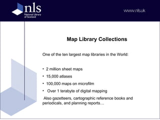


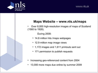


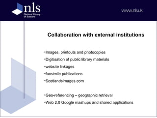


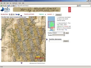


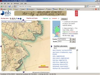


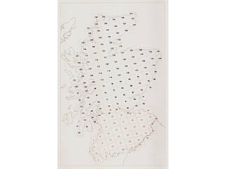


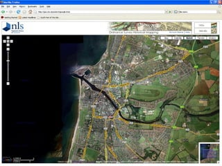


The document describes one of the largest map libraries in the world, housing 2 million sheet maps, 15,000 atlases, over 100,000 microfilm maps, and extensive digital collections. It highlights various historical maps and modern digital mapping tools available, including the OS MasterMap for detailed mapping in the UK. Additionally, it notes significant web traffic and collaborative digital projects aimed at enhancing access to geographic information.