Download to read offline

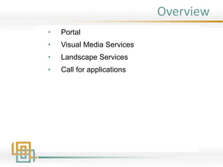
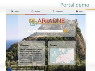
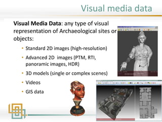
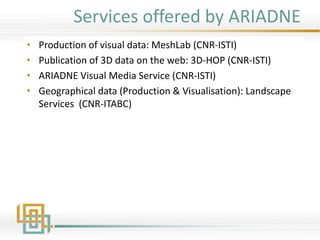
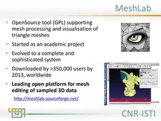
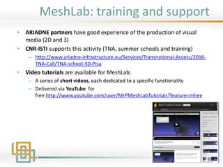
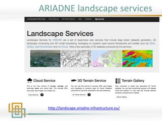
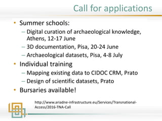

Ariadne is an EU-funded project providing a portal for researchers to access archaeological datasets and tools for visual media services and landscape services. It offers various visual data production and web visualization tools, including Meshlab and 3DHop, as well as collaborative web GIS services for managing 2D/3D environments. The project also includes training programs and bursaries for individuals interested in digital curation and scientific datasets.