Downloaded 20 times
![Python & Drive Time Analyses Python 2.6 ArcCatalog 9.3.1 ArcMap 9.3.1 Project technologies Programming language: Software products: Janice Poehlman Division of Forestry, Dept. Natural Resources [email_address]](https://image.slidesharecdn.com/poehlmanpythonwlia2011-110311152242-phpapp01/85/Python-Coding-Examples-for-Drive-Time-Analysis-1-320.jpg)
![Python & Drive Time Analyses Python 2.6 ArcCatalog 9.3.1 ArcMap 9.3.1 Project technologies Programming language: Software products: Janice Poehlman Division of Forestry, Dept. Natural Resources [email_address]](https://image.slidesharecdn.com/poehlmanpythonwlia2011-110311152242-phpapp01/75/Python-Coding-Examples-for-Drive-Time-Analysis-1-2048.jpg)
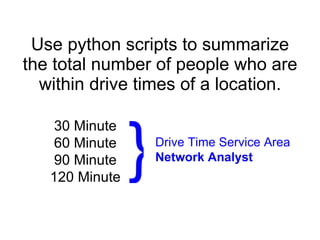
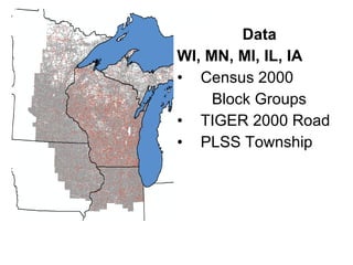
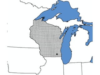
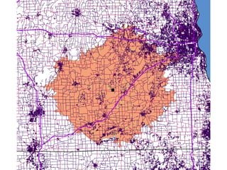
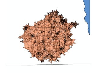
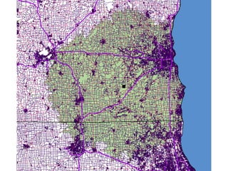
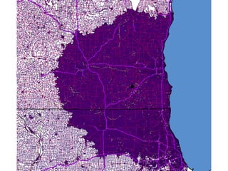
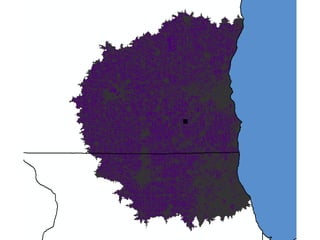
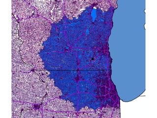
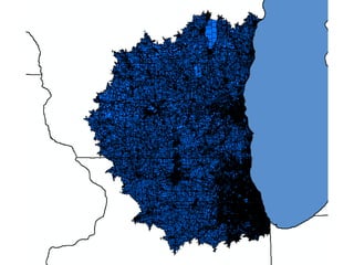
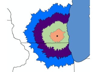
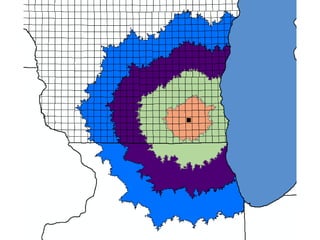
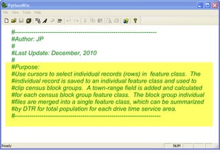

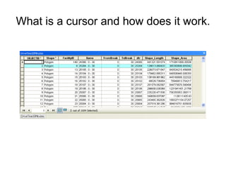

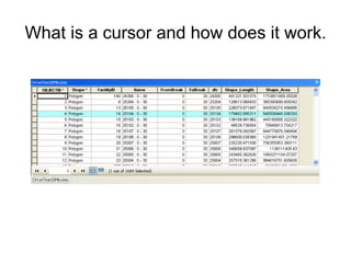
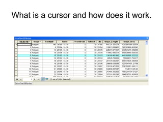
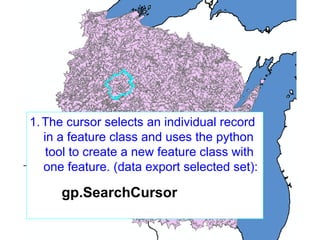

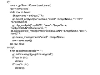

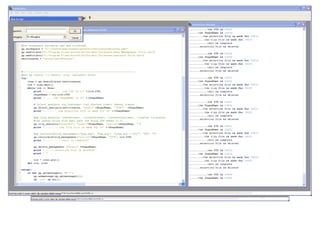
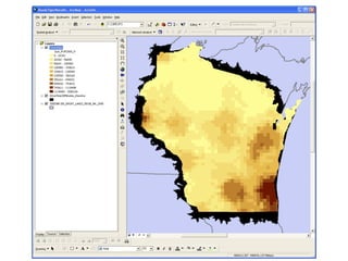
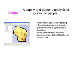


The document describes using Python scripts and ArcGIS tools to analyze drive time service areas and population data. It discusses using a cursor to select individual records from a feature class, creating a new feature class for each record, clipping census block groups to the new feature class, calculating total population for the service area, and merging the individual feature classes into a single output. The purpose is to summarize the total population within different drive time thresholds from a given location.