A wikimap of landscape values in the bad river watershed carl sack
•Download as PPTX, PDF•
1 like•1,000 views


Recommended
Recommended
More Related Content
Viewers also liked
Viewers also liked (9)
Similar to A wikimap of landscape values in the bad river watershed carl sack
Similar to A wikimap of landscape values in the bad river watershed carl sack (20)
More from Wisconsin Land Information Association
More from Wisconsin Land Information Association (20)
Recently uploaded
Recently uploaded (20)
A wikimap of landscape values in the bad river watershed carl sack
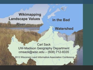
- 1. Carl Sack UW-Madison Geography Department cmsack@wisc.edu – (608) 712-8335 in the Bad River Watershed Wikimapping Landscape Values 2013 Wisconsin Land Information Association Conference
- 2. Problem How can online maps empower the views of local people in decisions regarding land use policy and natural resource development?
- 3. Online Participatory Mapping From Beverly et. al. 2008 (Canadian Journal of Forestry Research)
- 5. Case Study The Bad River Watershed: 1,061 Square Miles Mix of forest, wetlands, agriculture Bad River Indian Reservation (Ojibwe) 2010-2012 Mining Proposal Variety of landscape values
- 6. Design & Development User-Centered Design After Robinson et al. (2005)
- 7. Design & Development Stakeholder themes: Uses for science, information, narrative Stakeholder support and engagement Local outreach vital Concerns: moderation, private information control
- 8. Design and Development Web application construction
- 9. Deployment Wikimap Demo Behind the Scenes Public Workshops
- 10. Evaluation Cartographic: How did users make use of the system? Anthropological: Did the wikimap have a public impact on landscape values perception? True Value by Ann Singsaas From Robinson, 2008 (Penn State GeoVISTA Center)
- 11. Acknowledgements Funding and support: Cartography Specialty Group Special thanks to Dr. Robert E. Roth