Downloaded 1,098 times
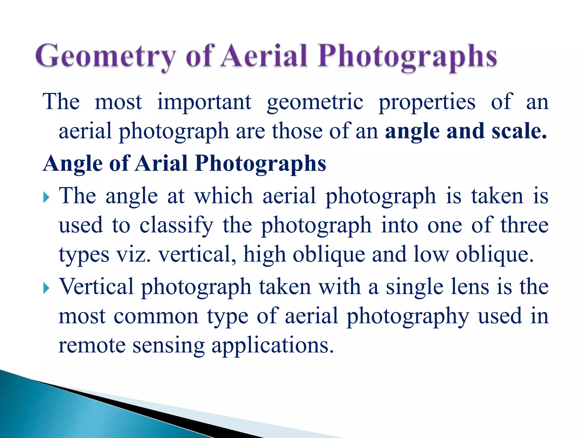
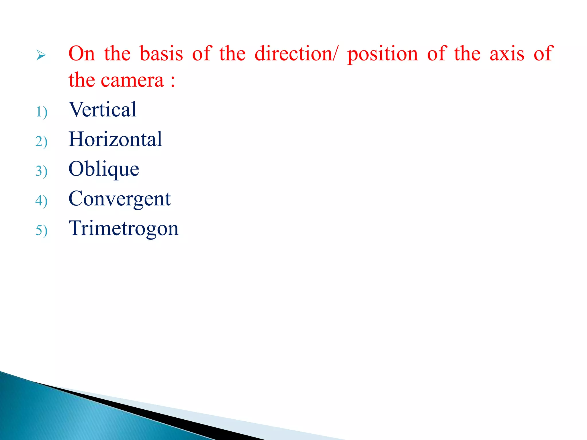
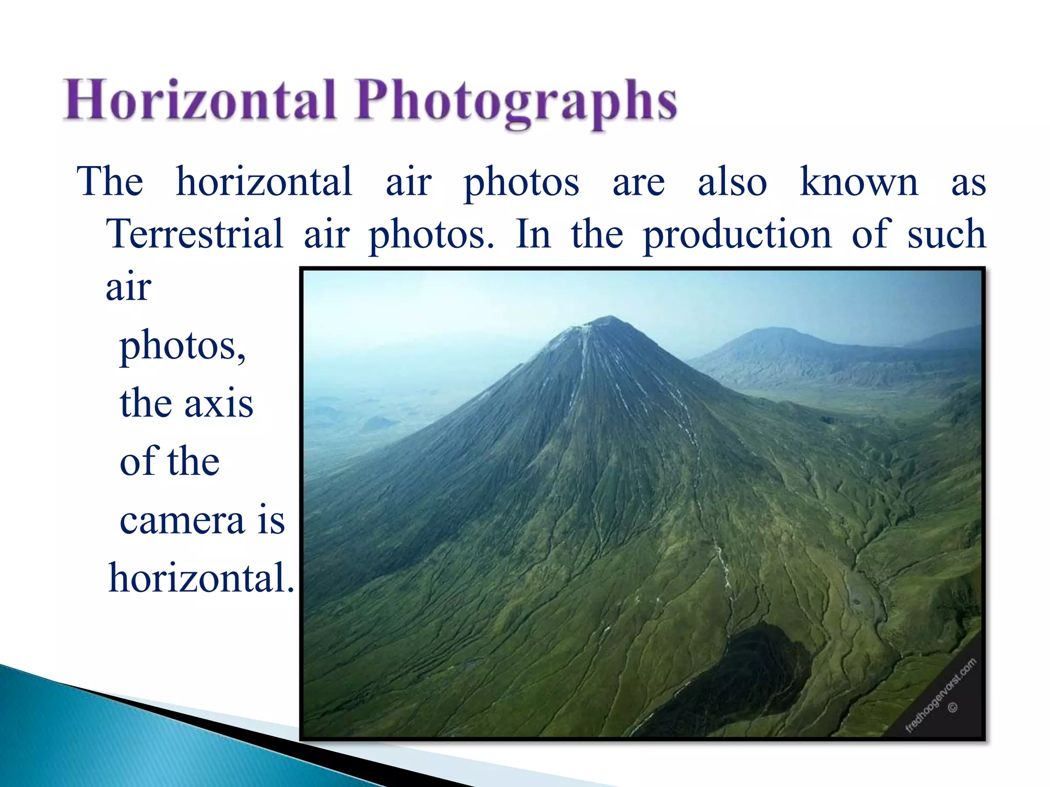
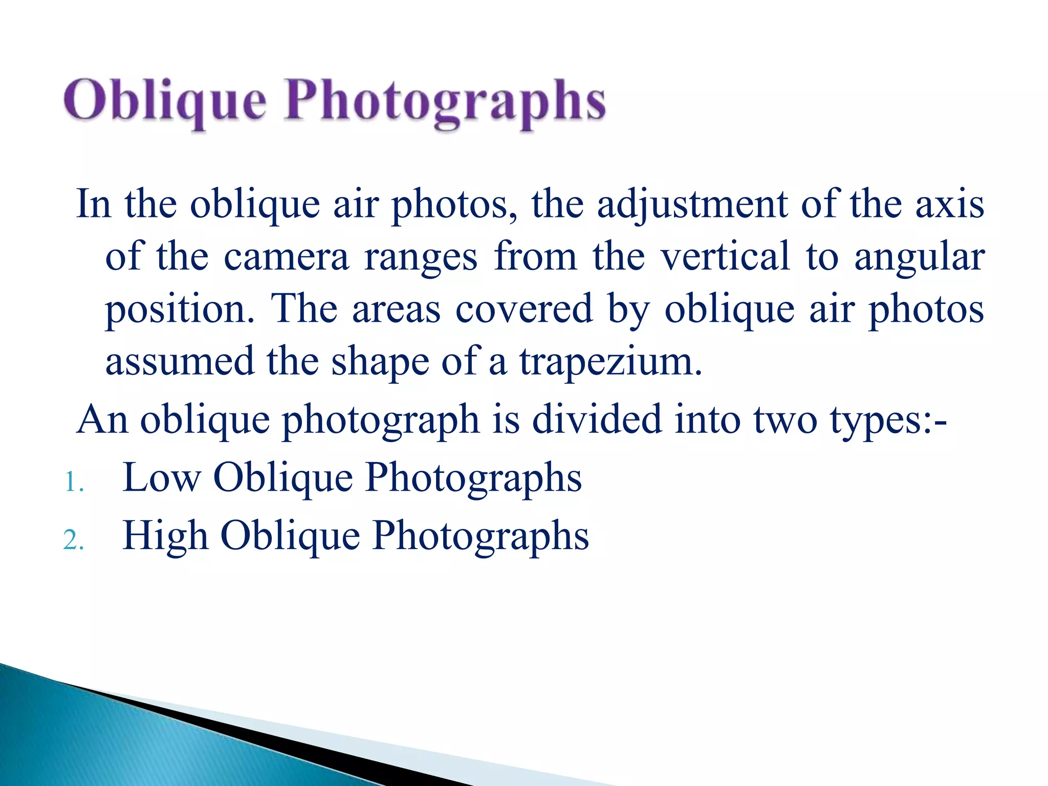


The document summarizes key properties and types of aerial photographs. It discusses that aerial photographs have angles and scales as important geometric properties. It describes the different types of photographs based on the camera axis direction (vertical, oblique, etc.), angle of coverage, film used (black and white, infrared, color), and scale determined by focal length and height. It provides details on vertical, low and high oblique, convergent, and trimetrogon photographs.
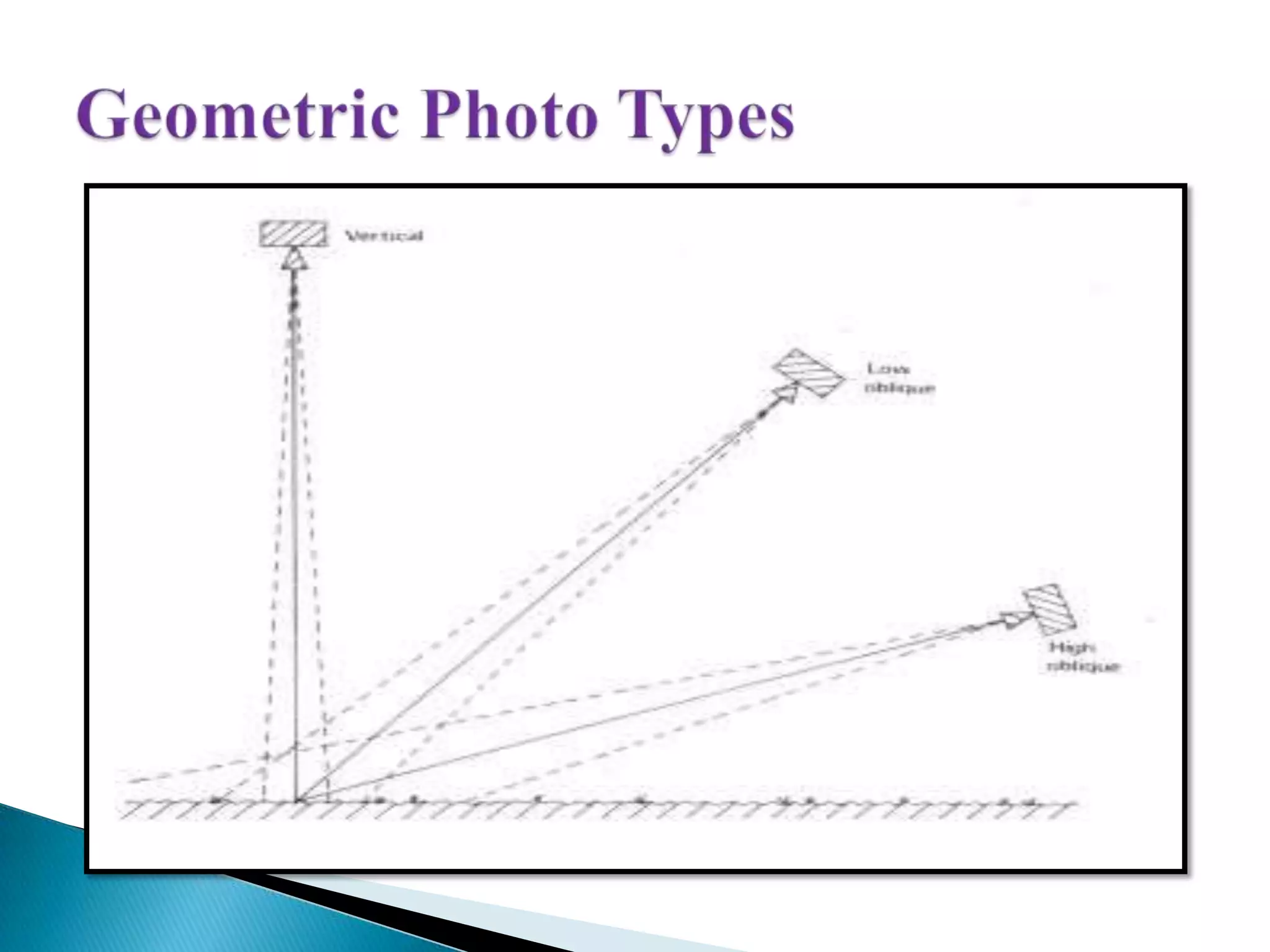
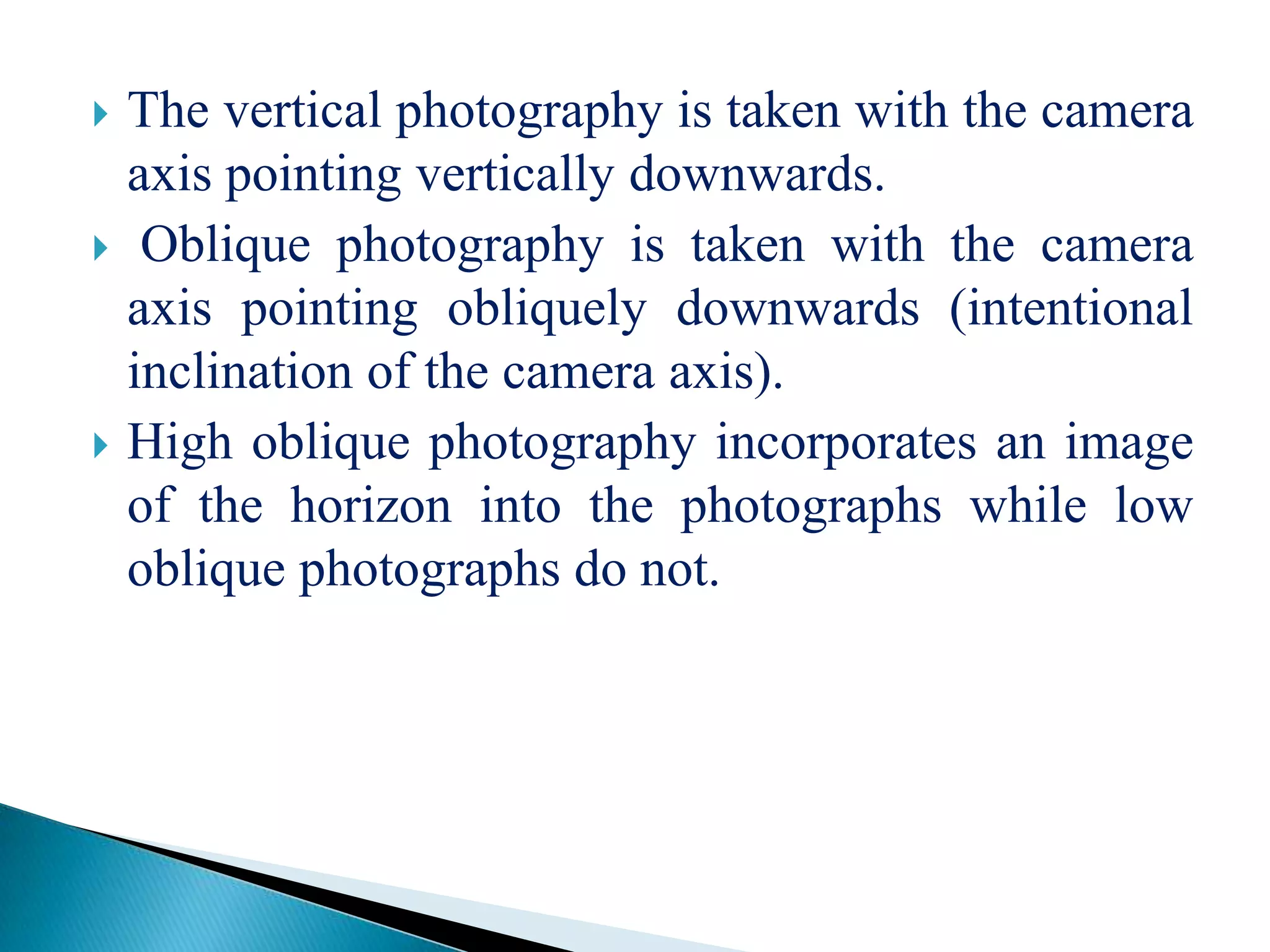
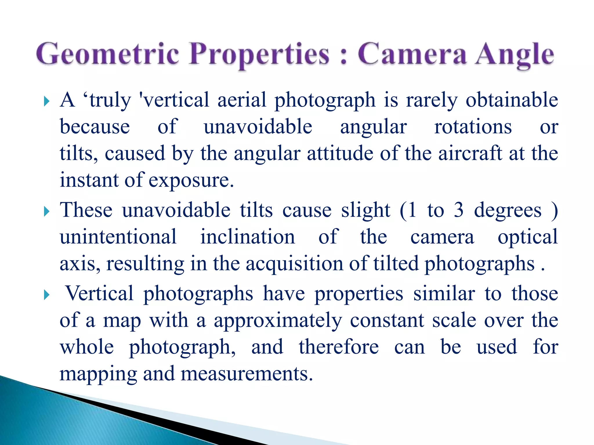
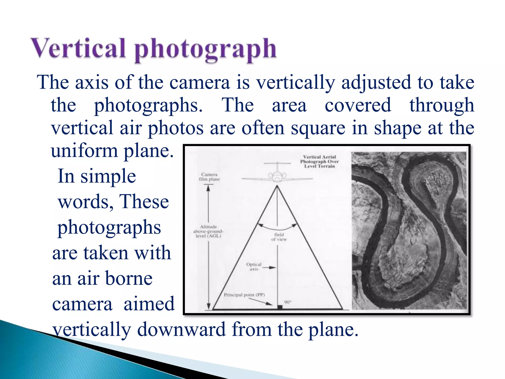
Discusses angle classifications (vertical, high oblique, low oblique) and characteristics of vertical aerial photographs.
Discusses angle classifications (vertical, high oblique, low oblique) and characteristics of vertical aerial photographs.
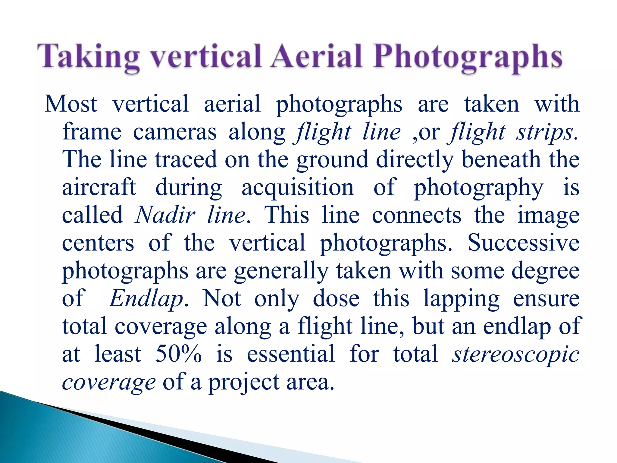
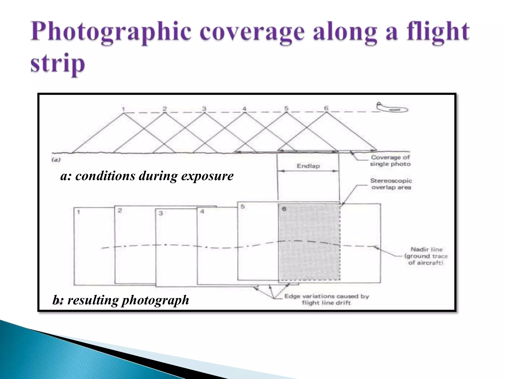
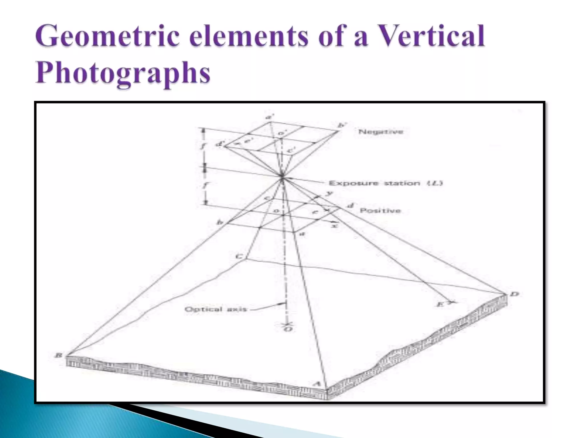
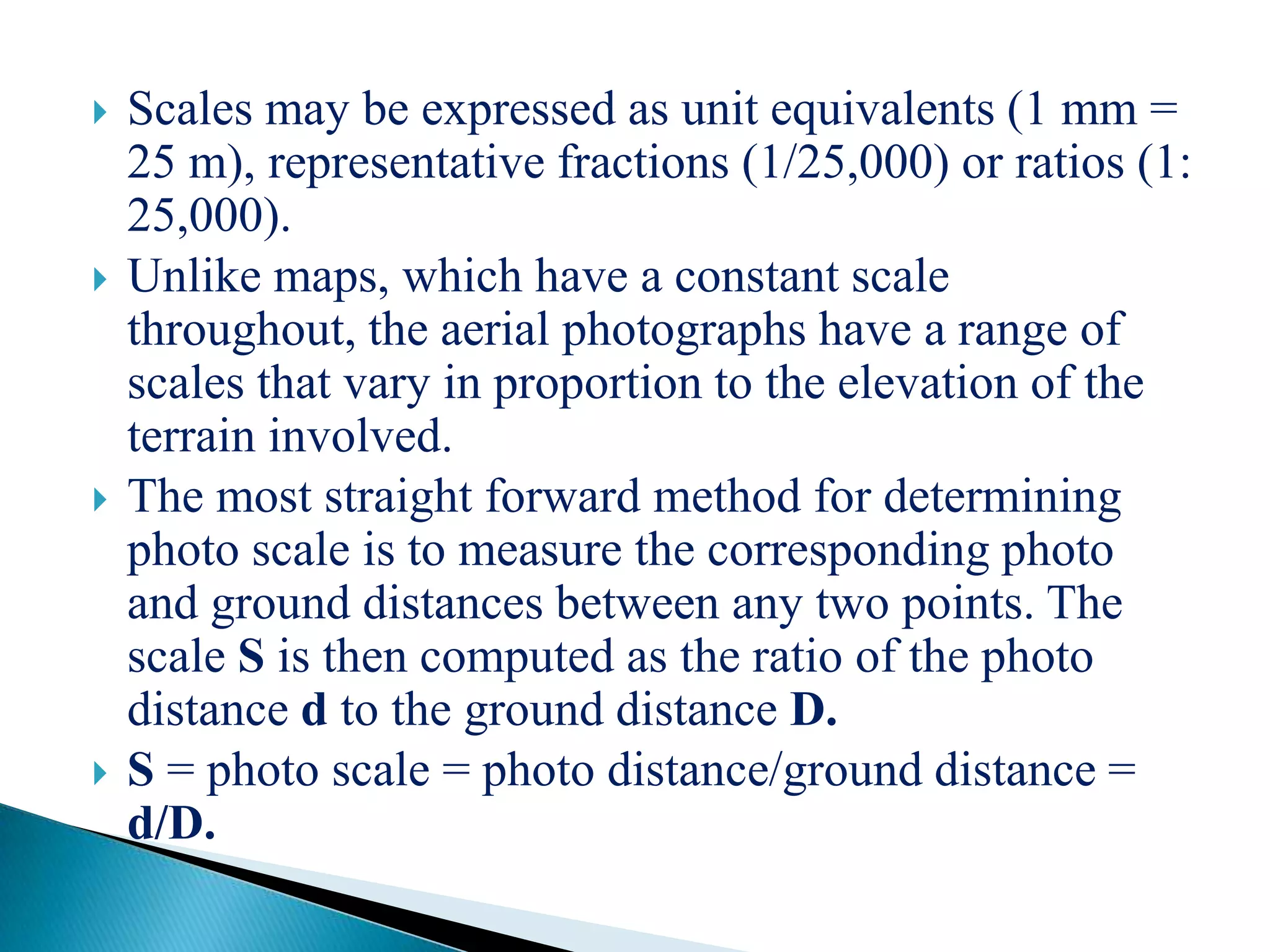
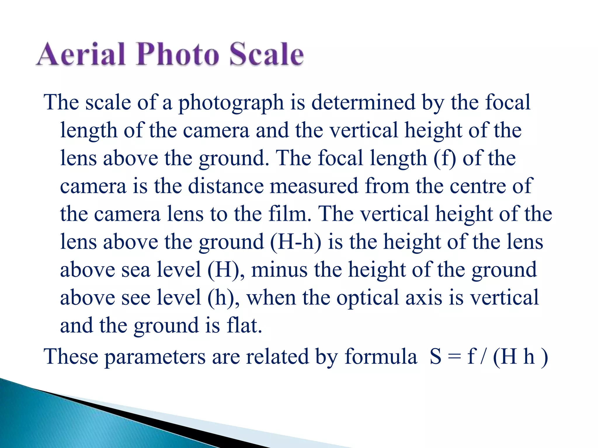
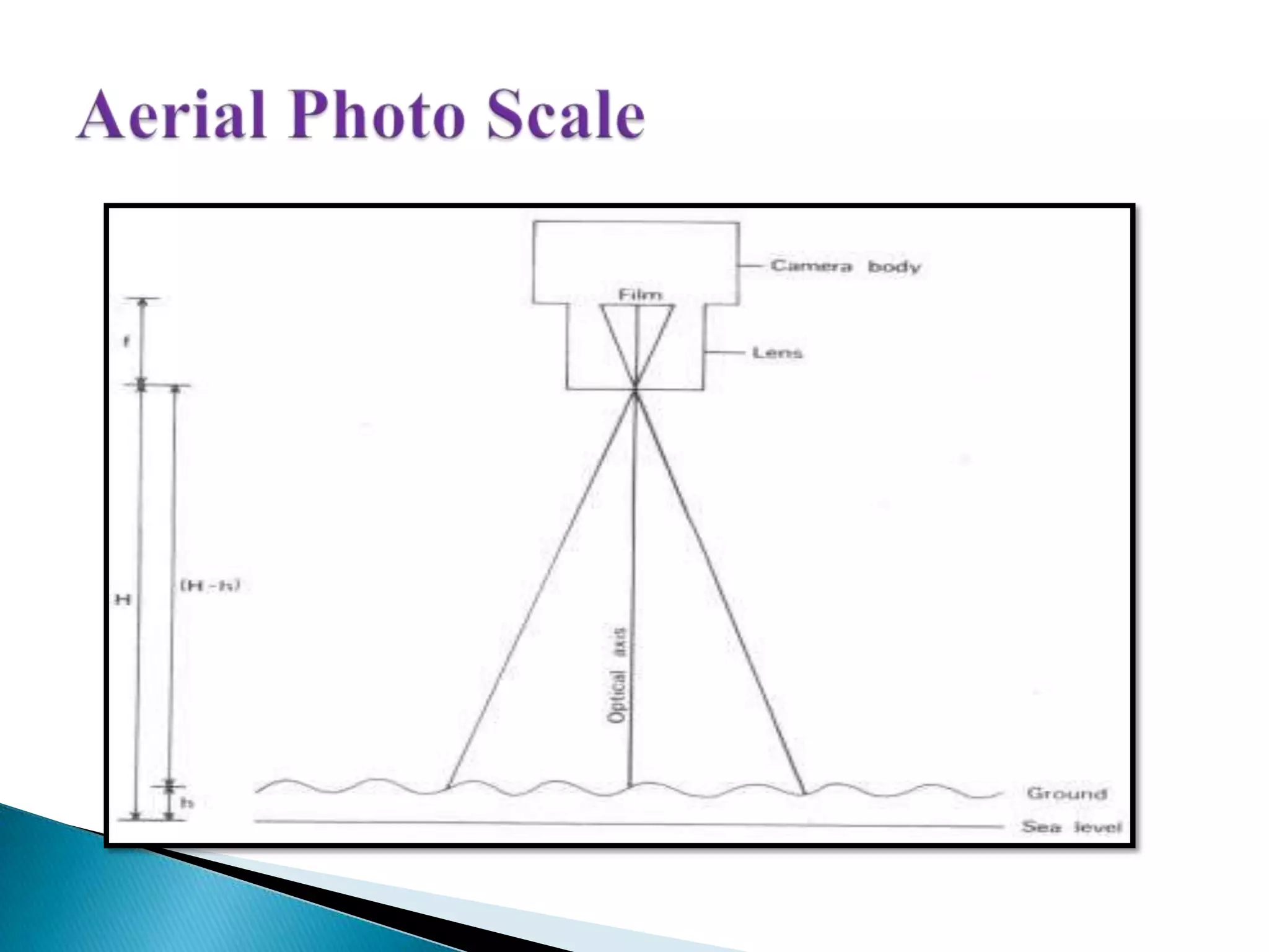
Explains vertical photography acquisition, nadir line, scale measurement, and how photo and ground distances are related.
Explains vertical photography acquisition, nadir line, scale measurement, and how photo and ground distances are related.
Classifies aerial photographs based on camera axis direction: vertical, horizontal, oblique; includes their shapes.
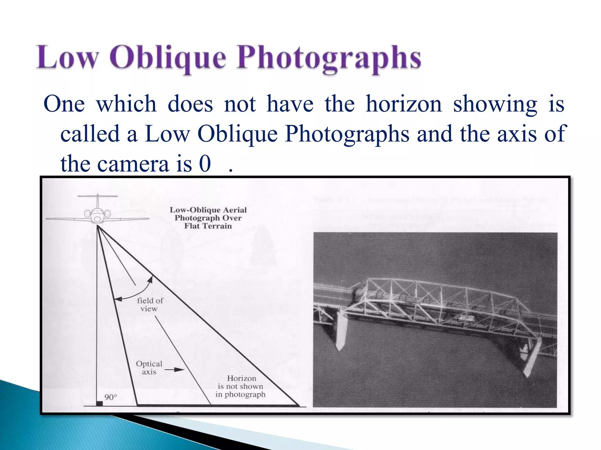
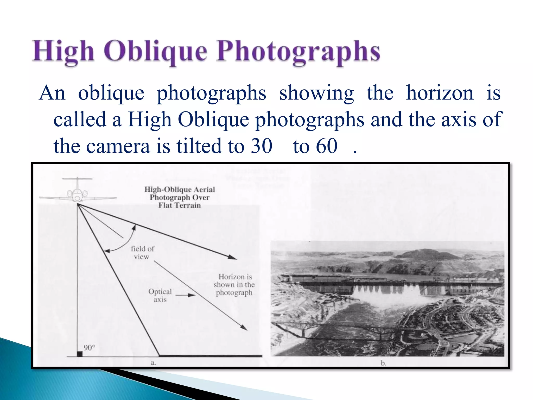
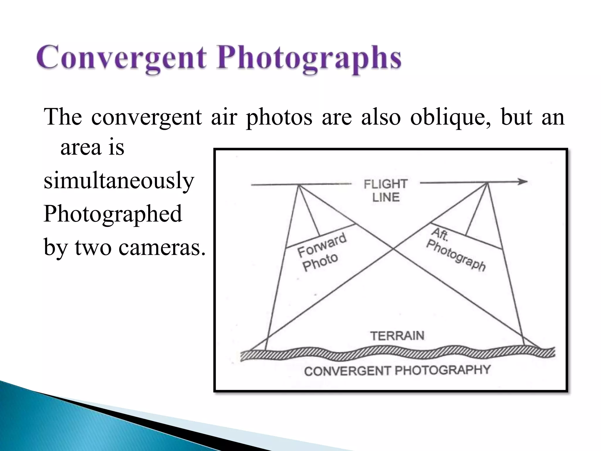
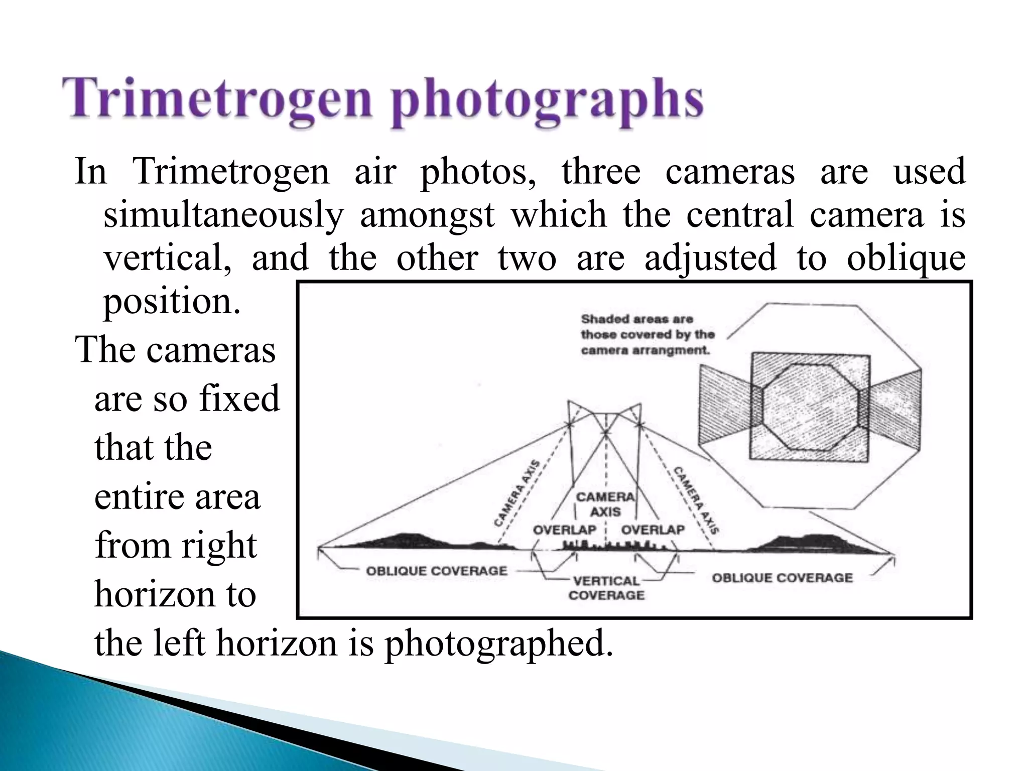
Details types of oblique photographs like low oblique, high oblique, convergent and trimetrogen with angles.
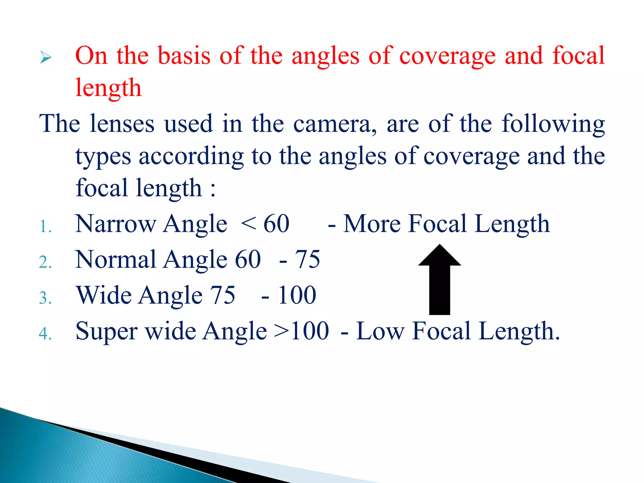
Describes aerial photographs classification by lens angle coverage and film types including black and white, IR, colored.
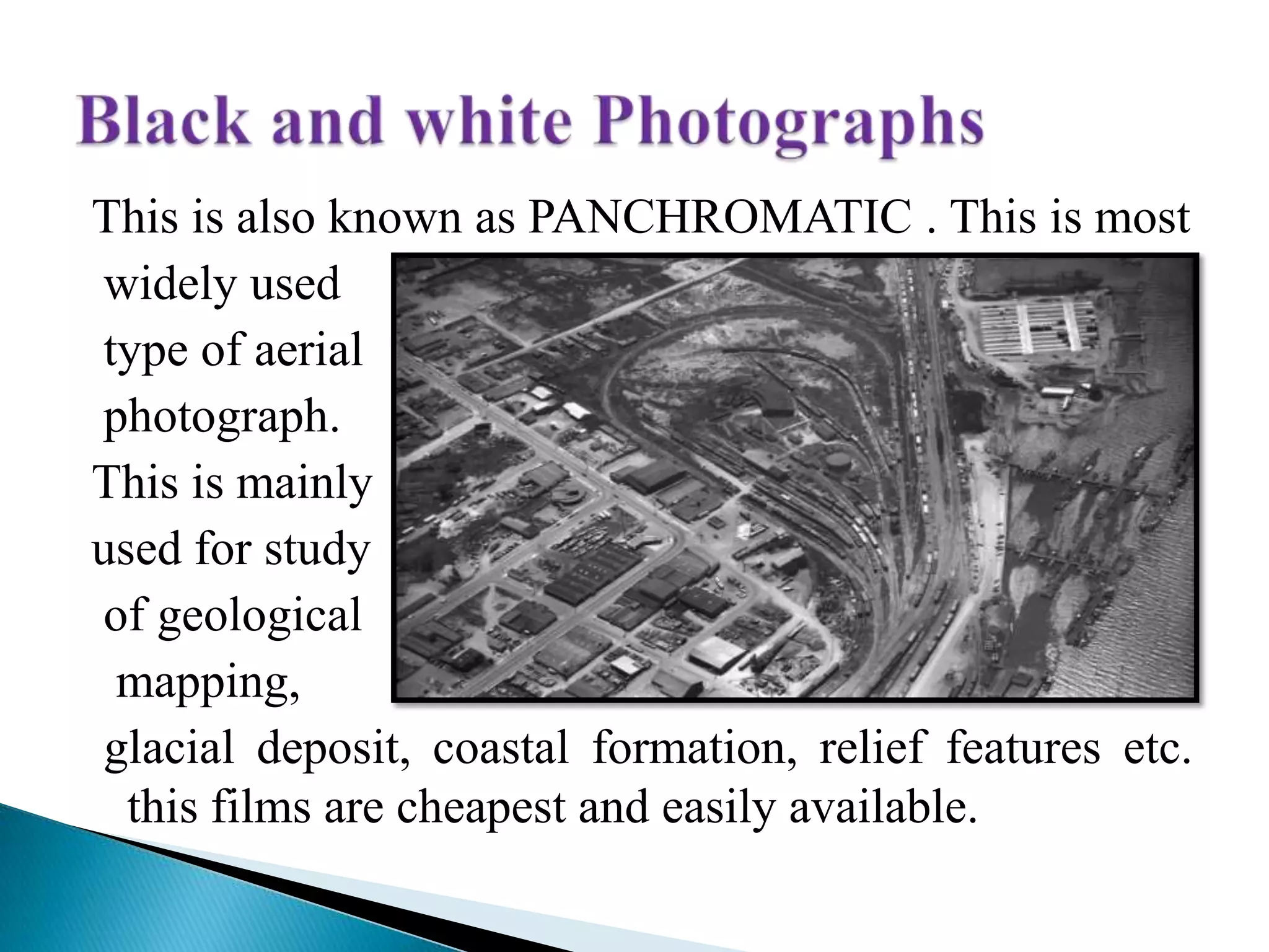
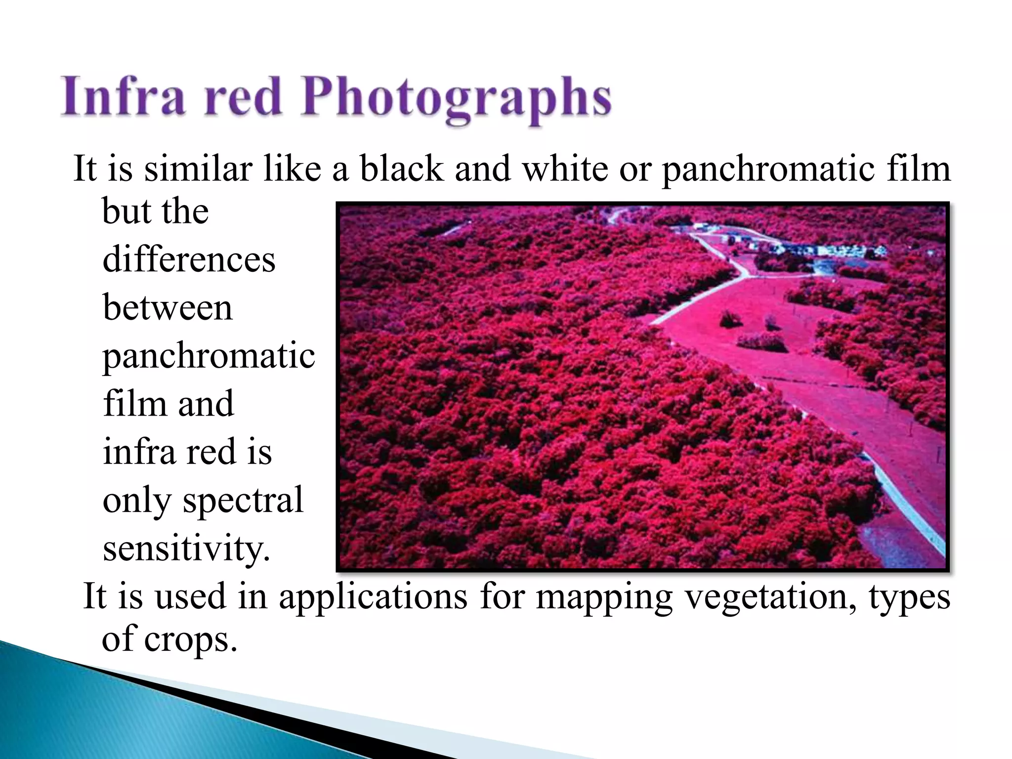
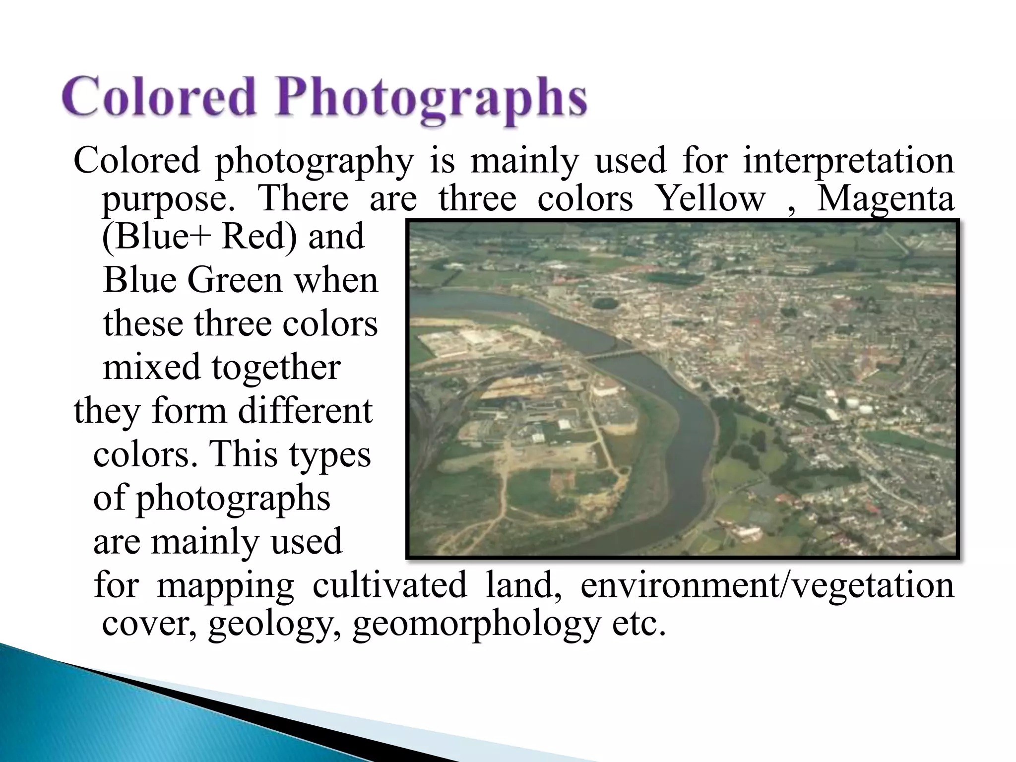
Outlines applications of black and white, infra-red, and colored aerial photography in mapping and vegetation analysis.
Presents key references such as a handbook on aerial photography and remote sensing methodologies.


