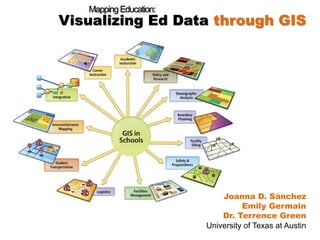
Geographic Information Systems (GIS) is a computer-based tool that uses spatial data to analyze and solve real-world problems. GIS is innovative and underutilized in the field of education. This panel is designed to introduce educators to the basic principles of GIS, giving them hands-on experience with visualizing data in a new and more accessible way. The workshop will teach students how to use GIS maps within an educational framework, with an emphasis on data collection, output, and analysis.
5. How can GIS help YOU?
GIS helps you visualize, analyze and problem-solve
Creates data driven decision-making
Offers a dynamic view, customizable
Puts information in the hands of all stakeholders