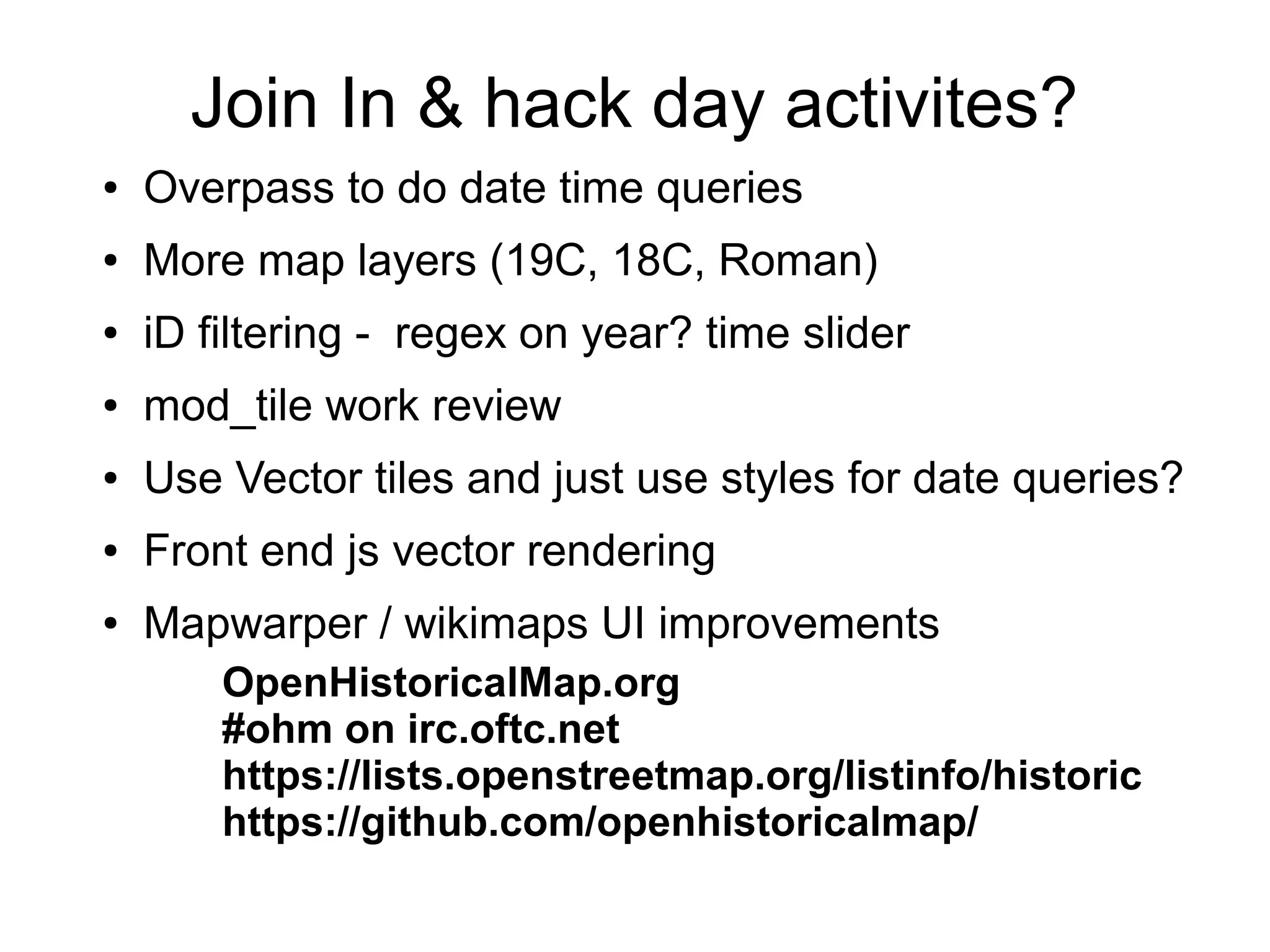
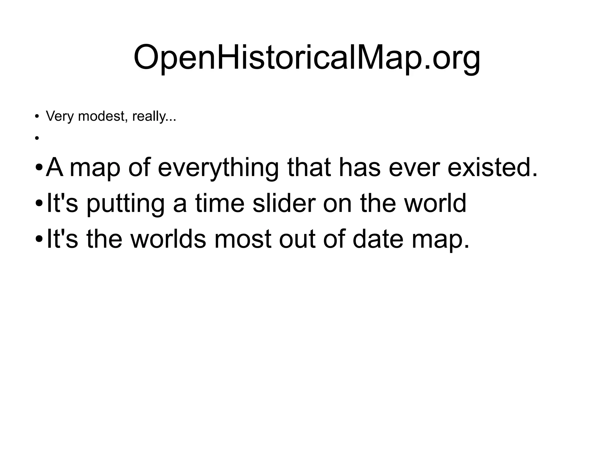
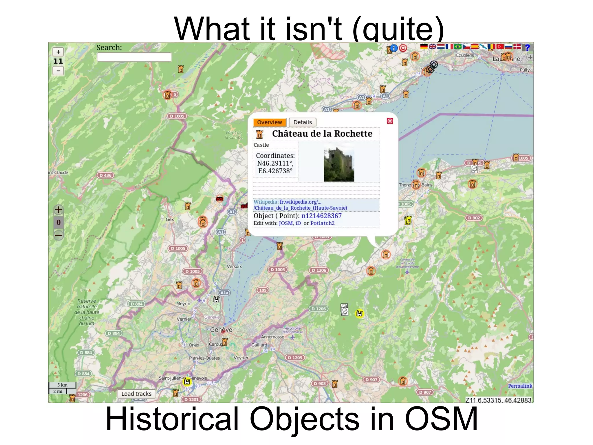
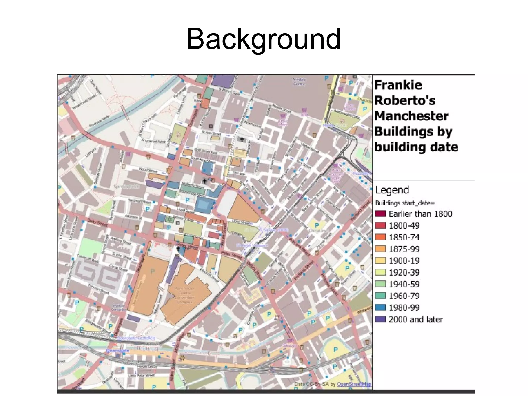
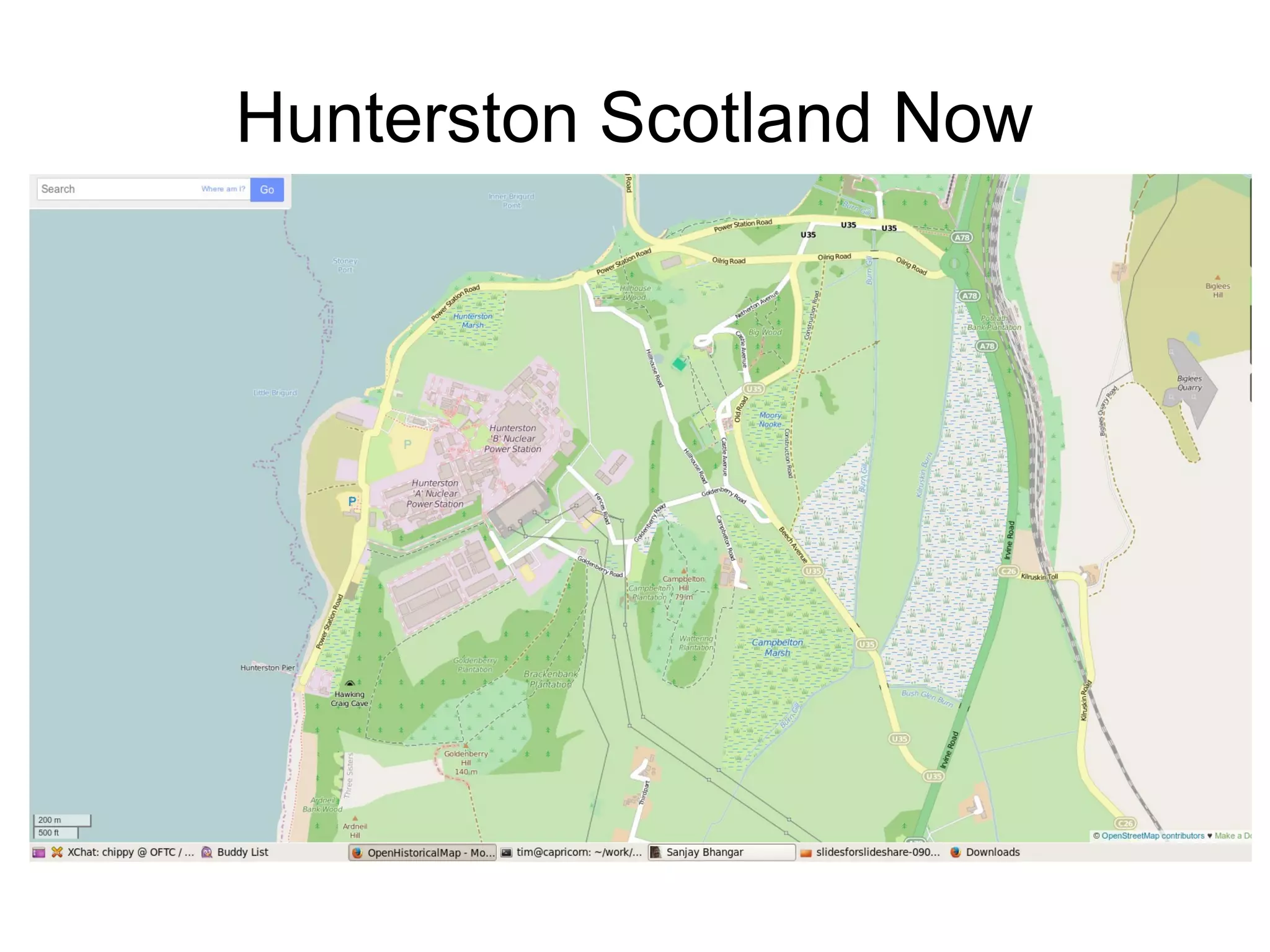
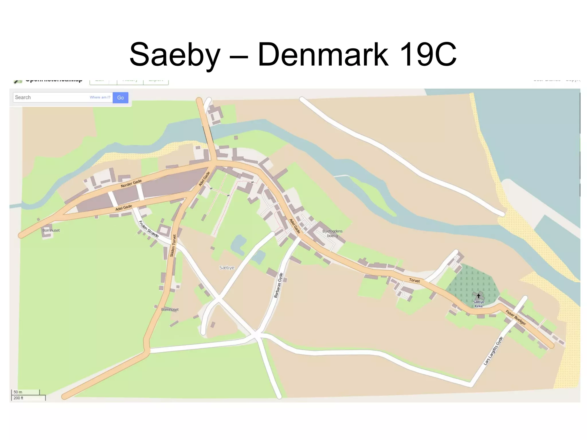
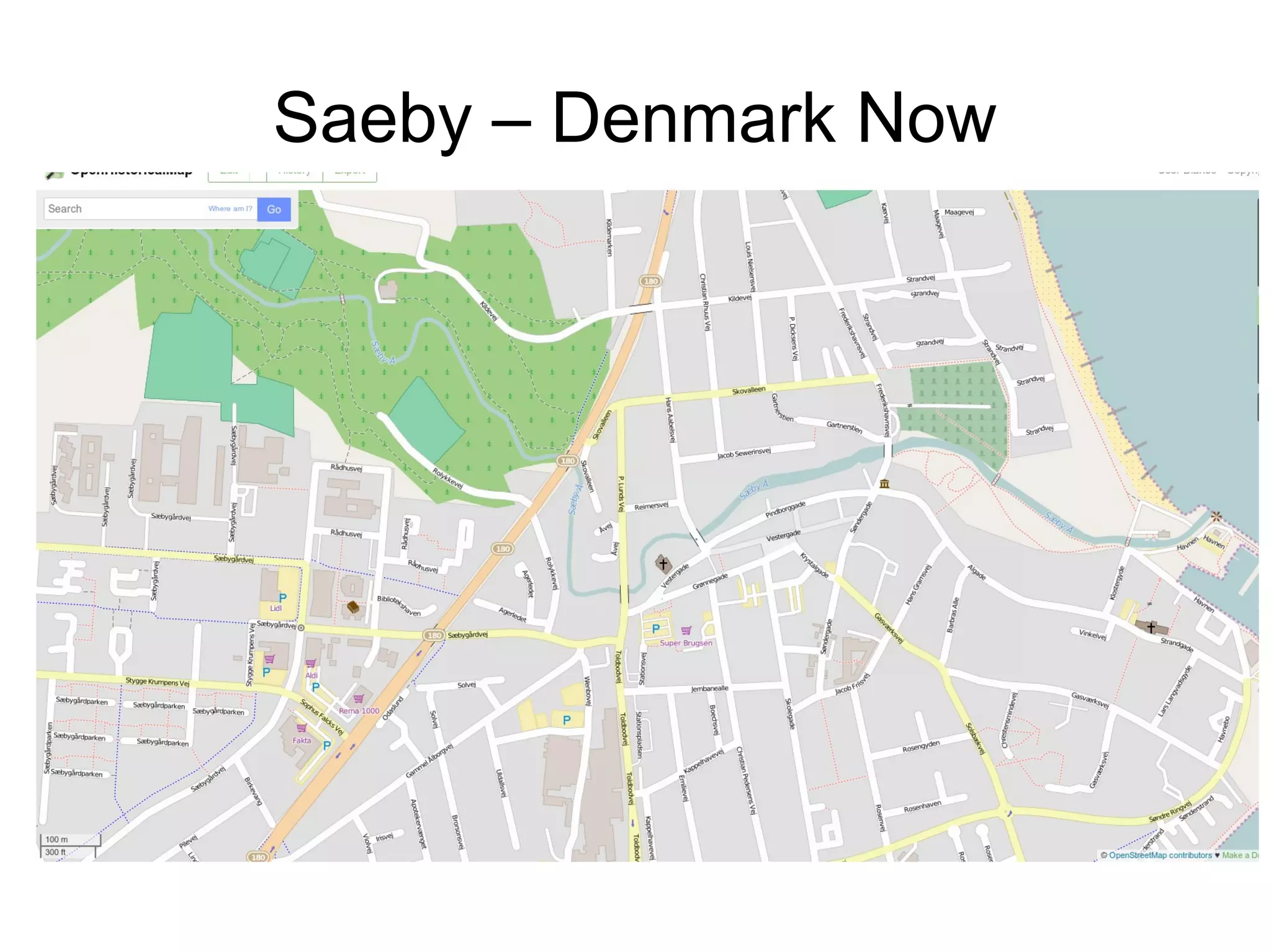
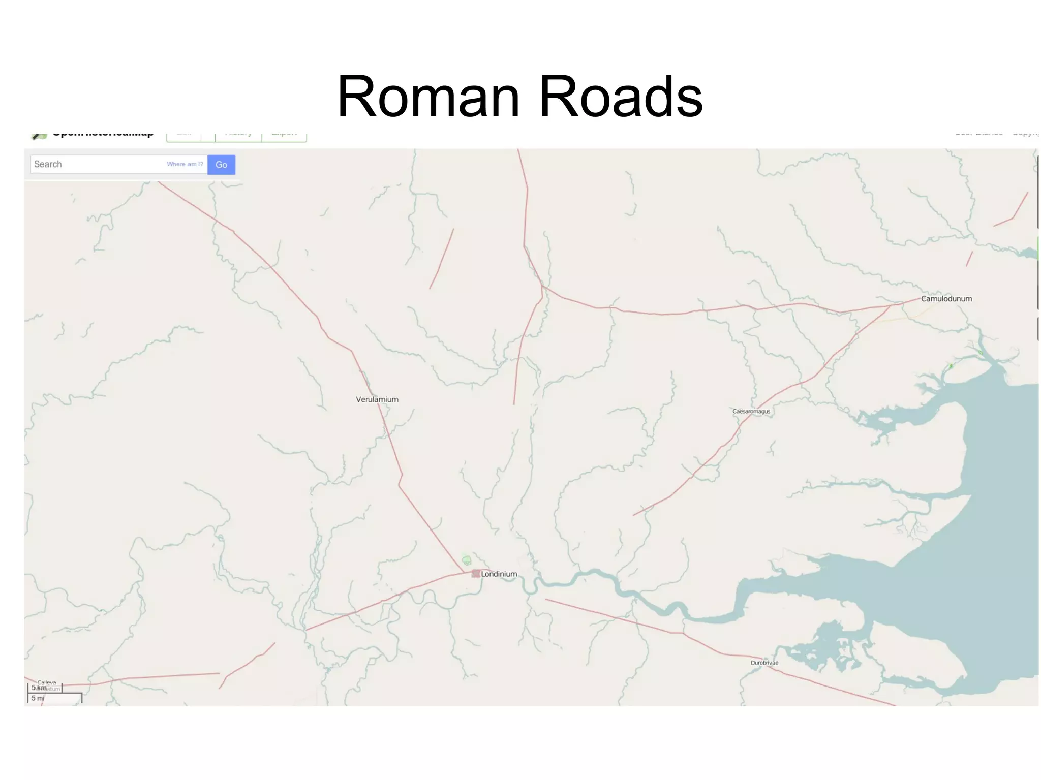
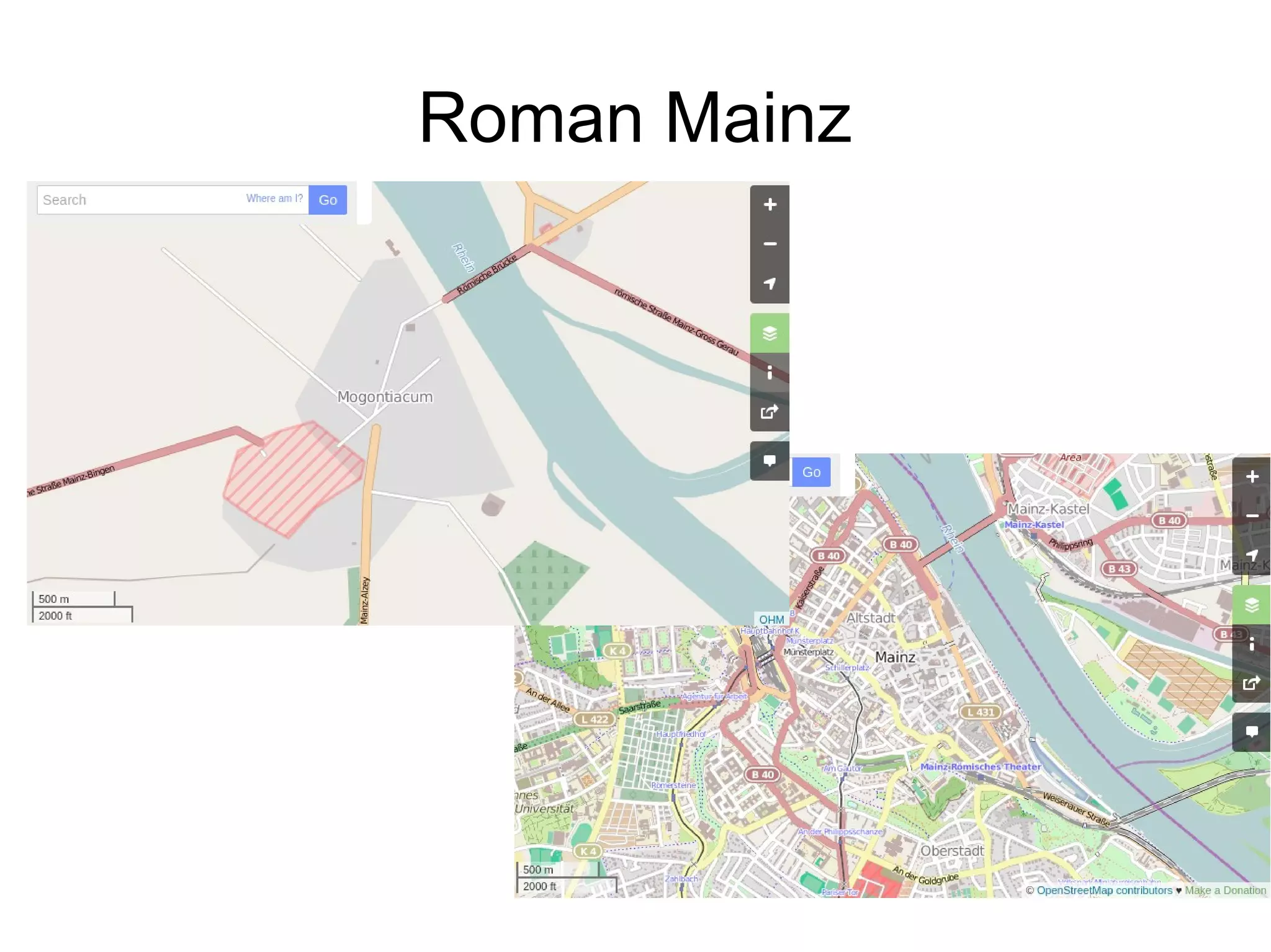
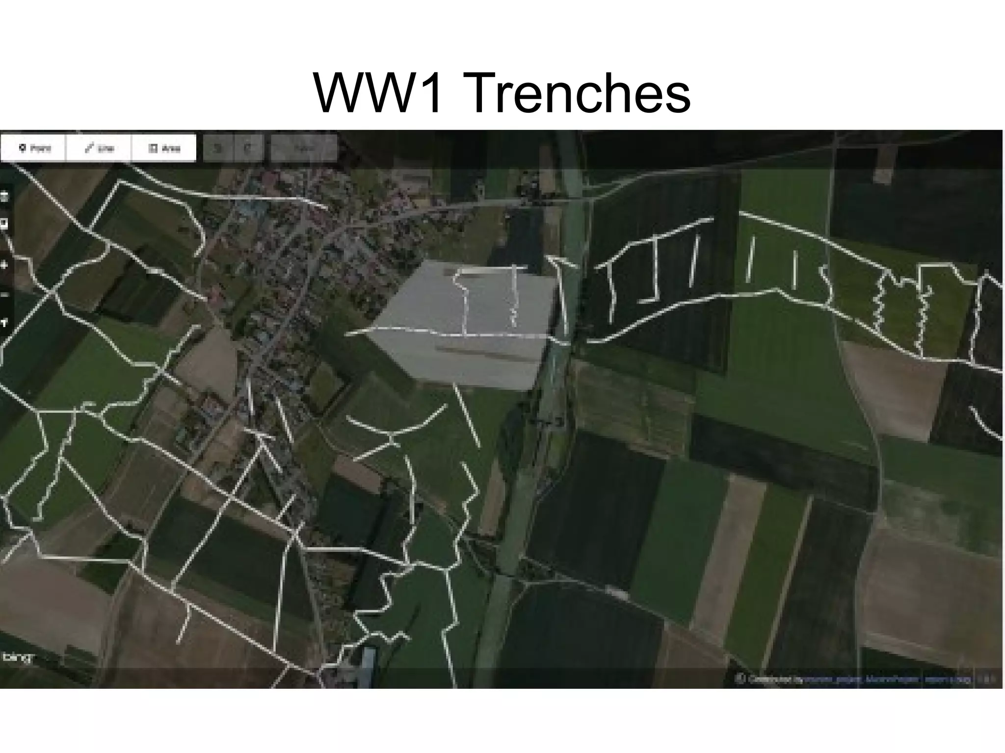
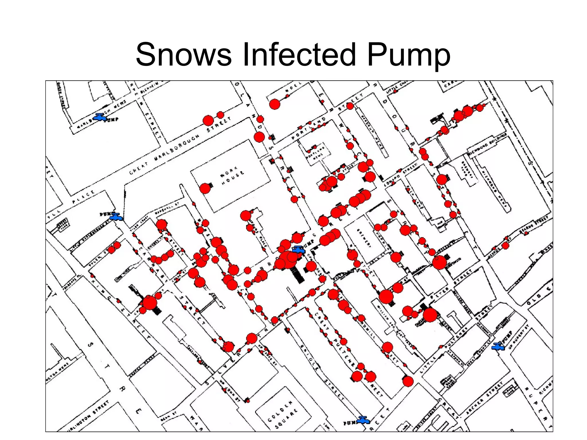
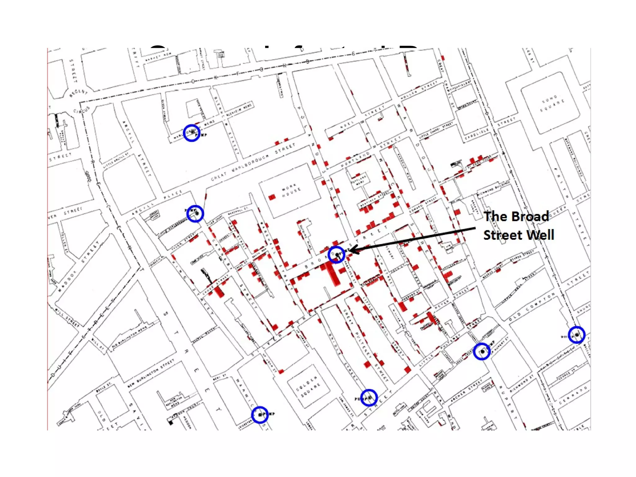
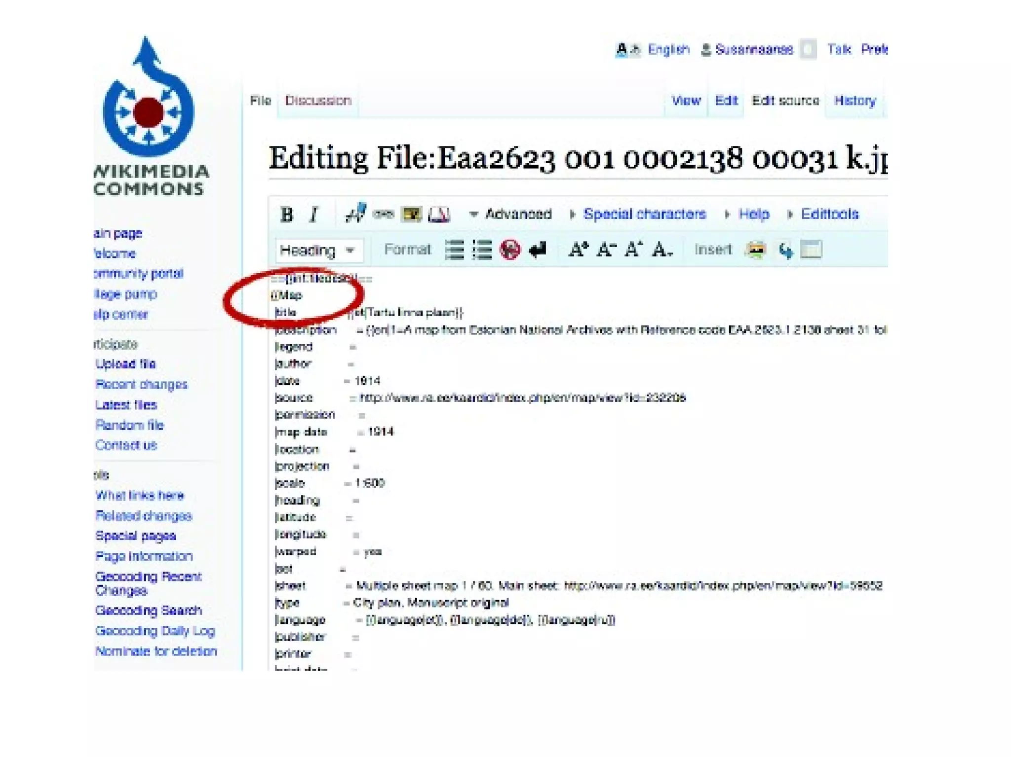
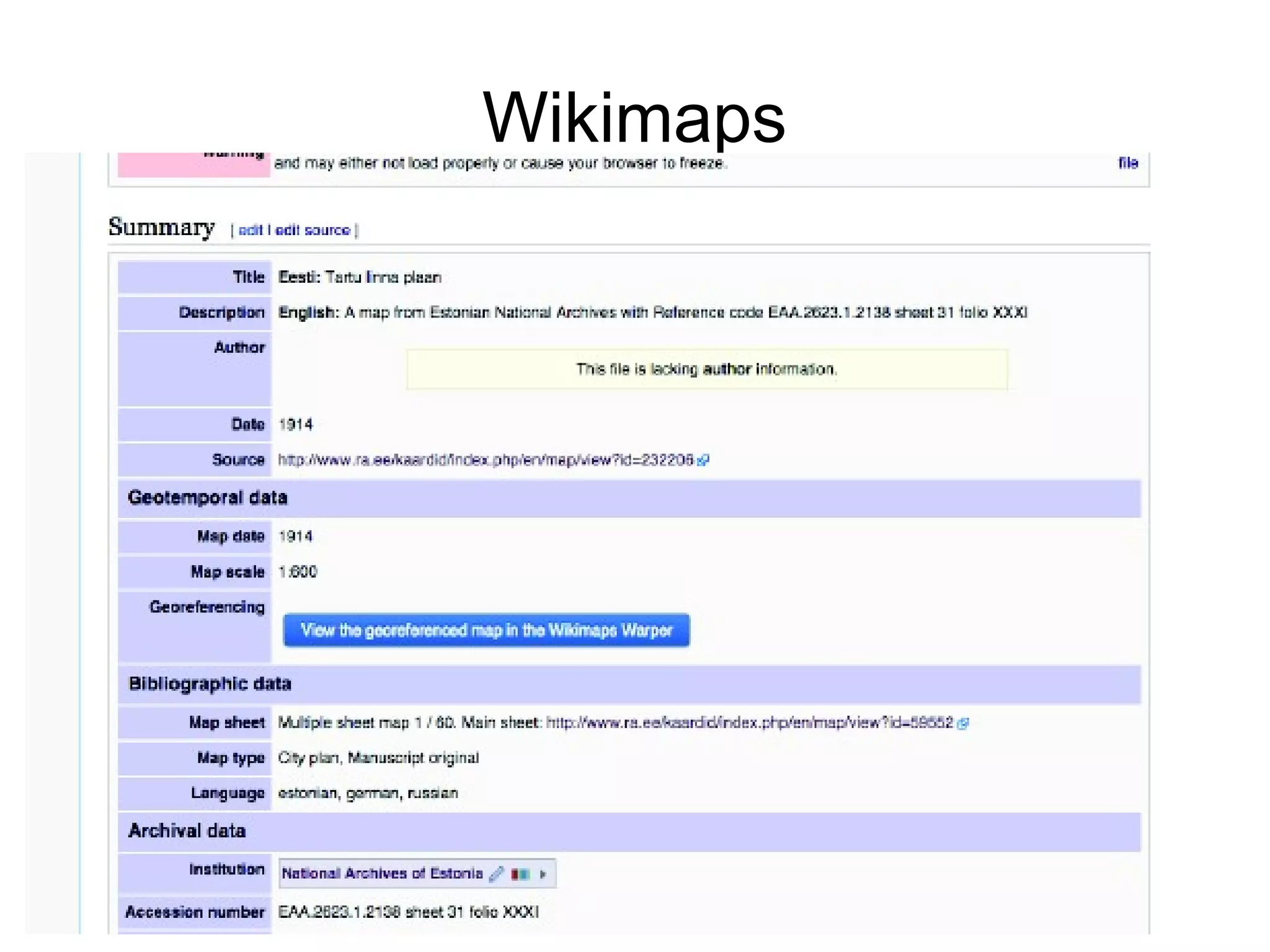
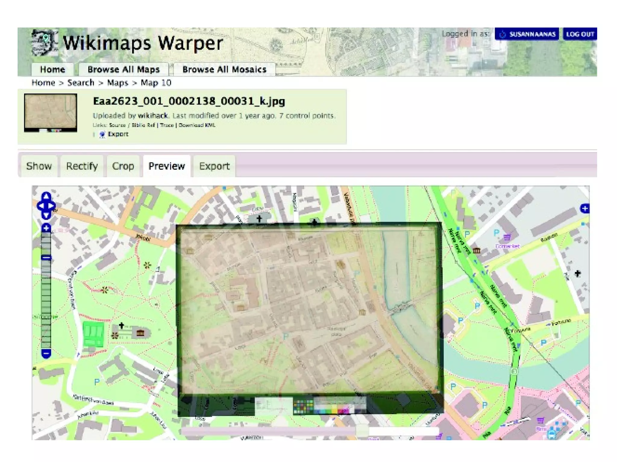
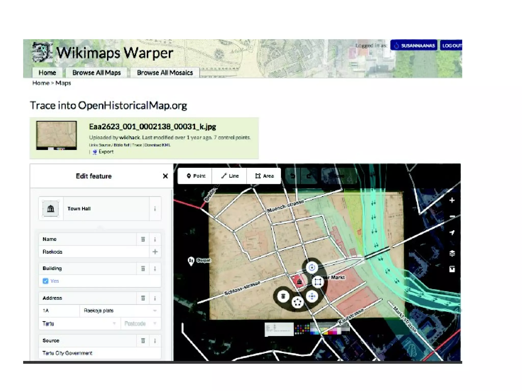
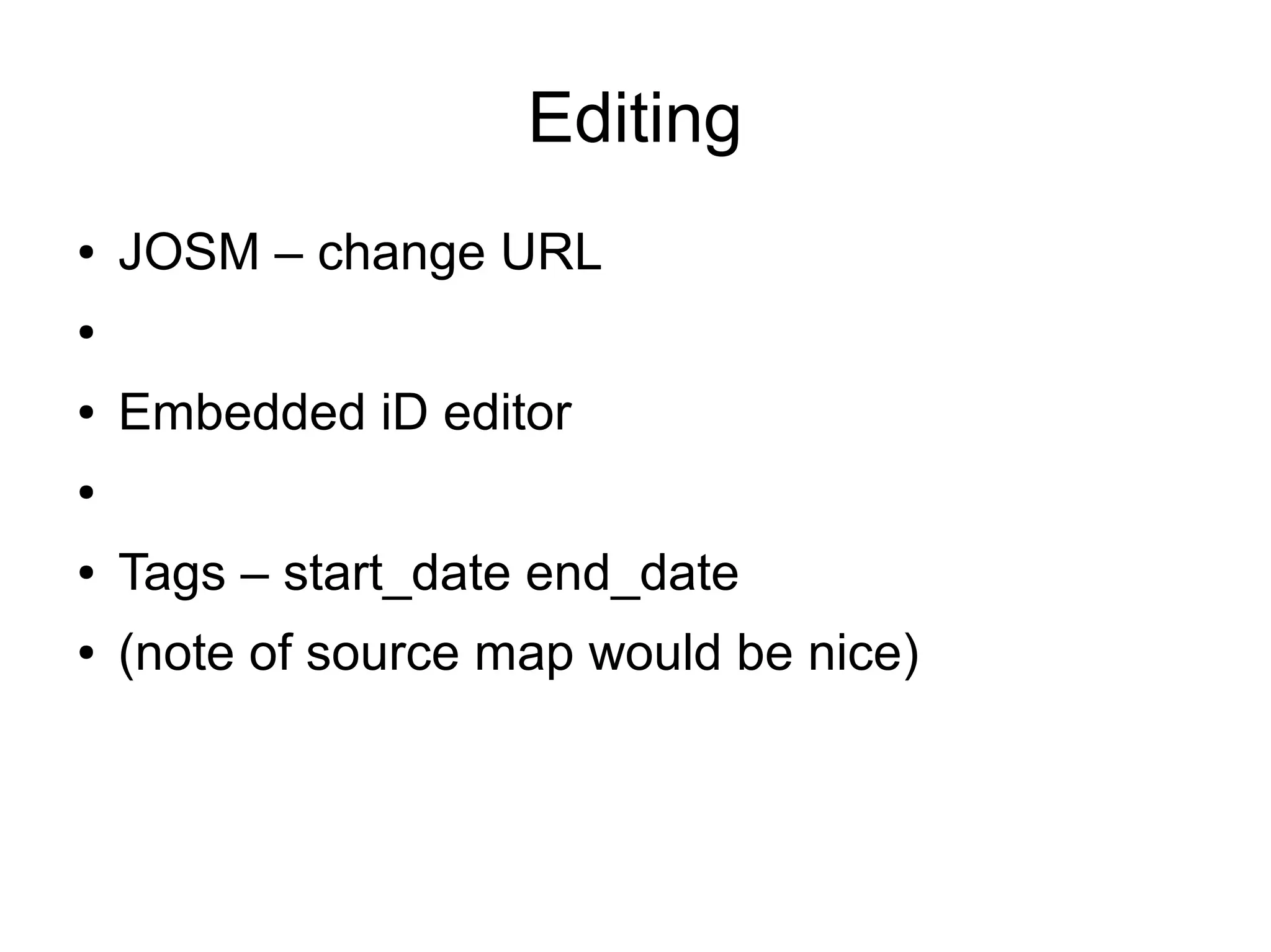
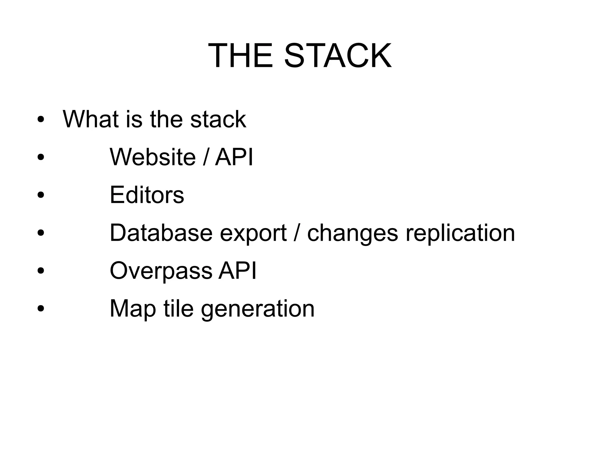
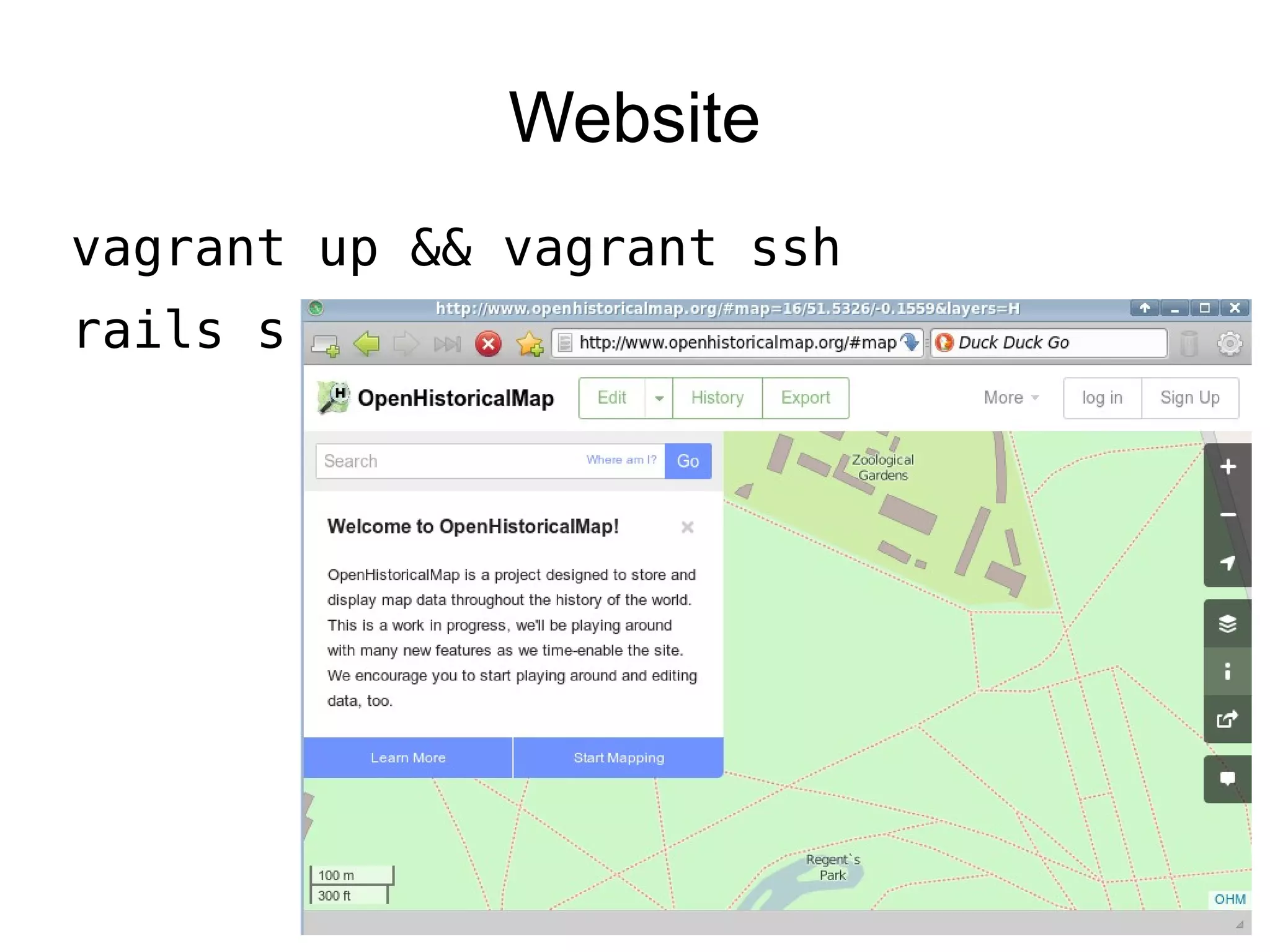
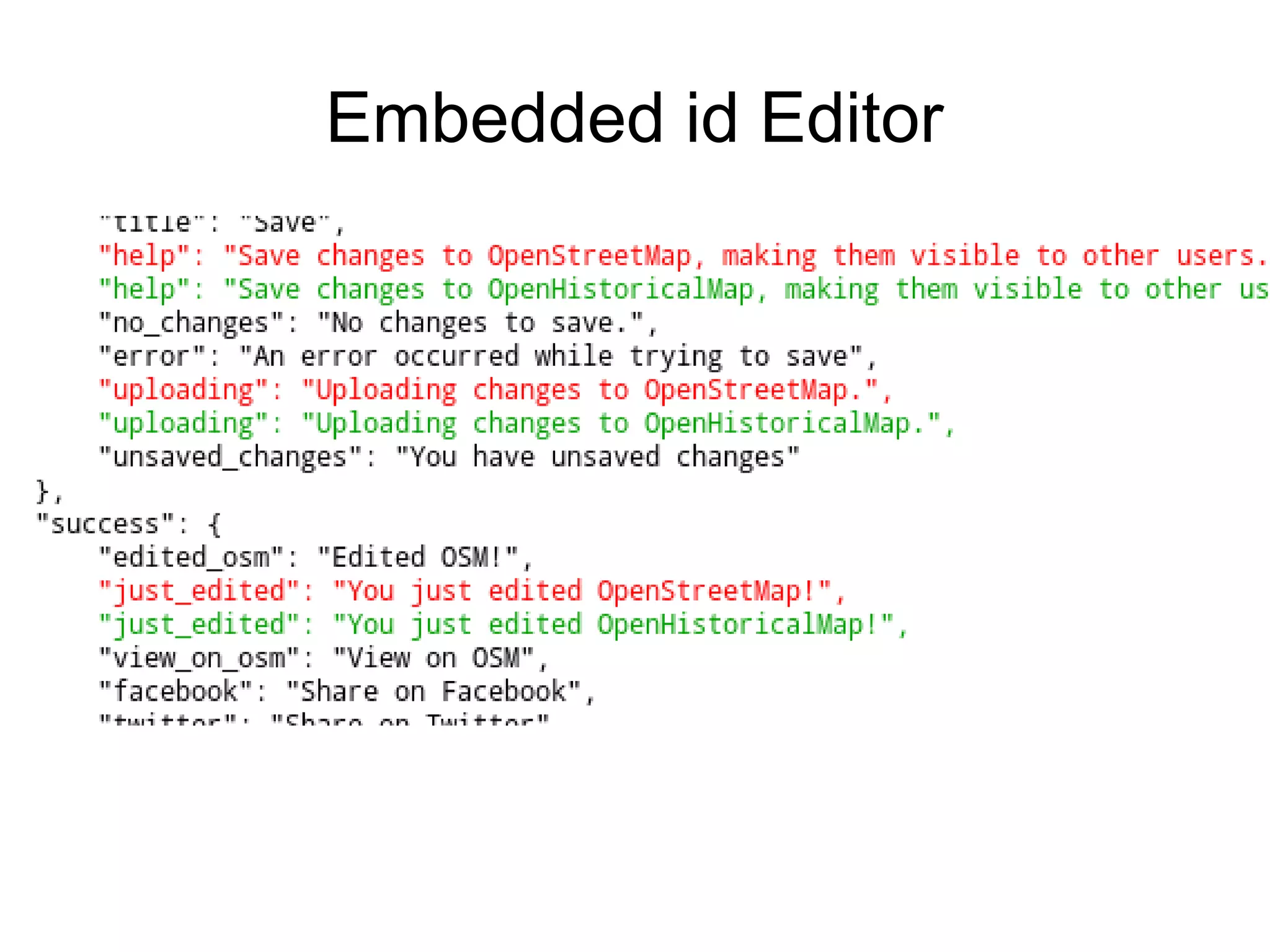
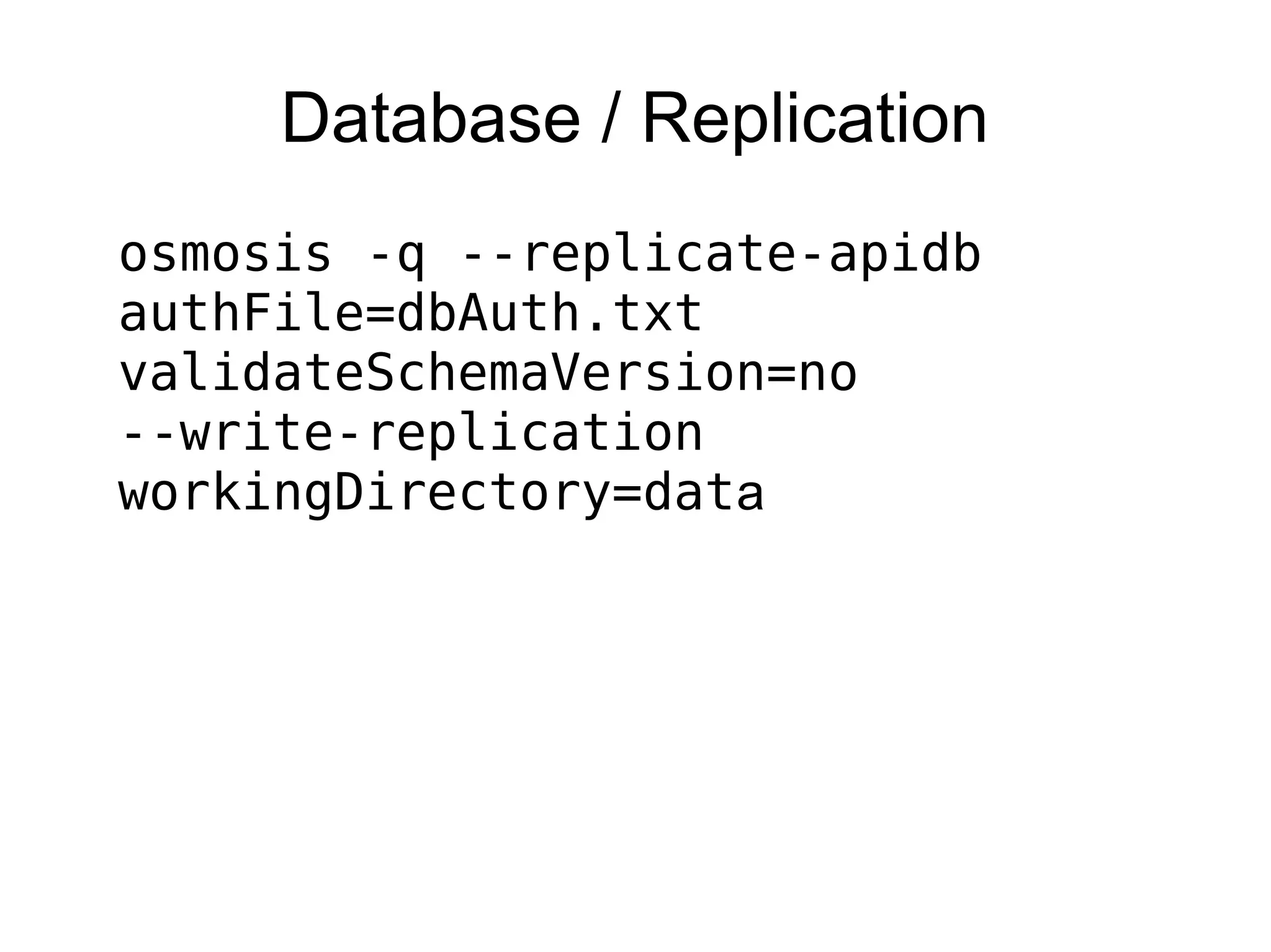
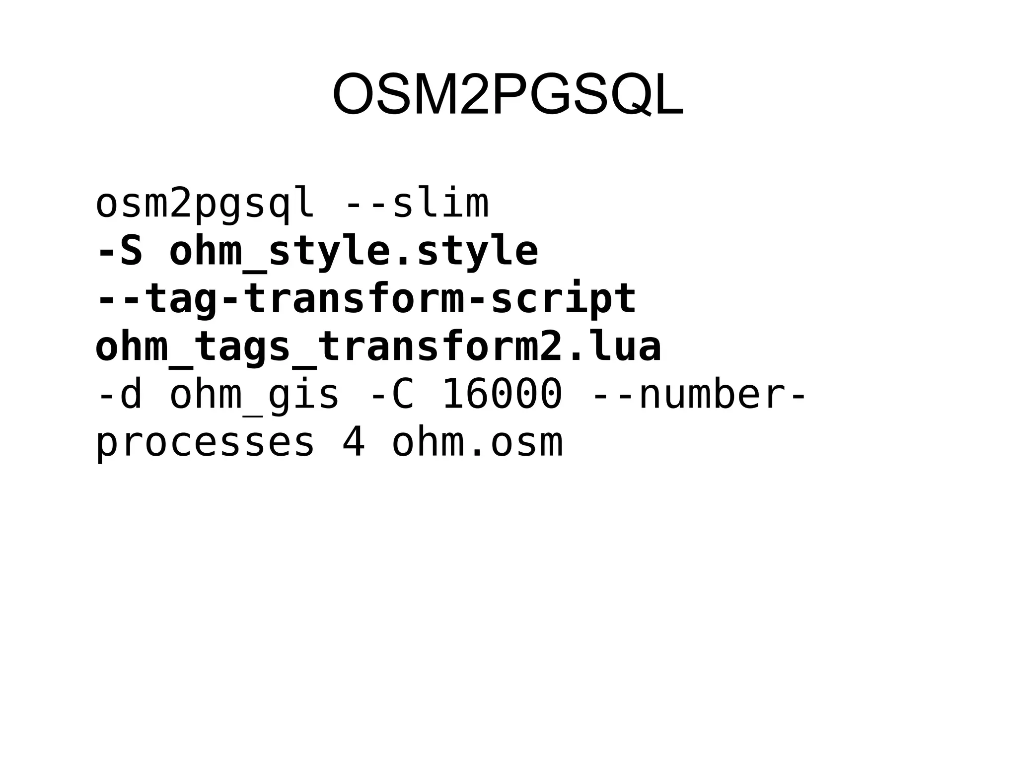
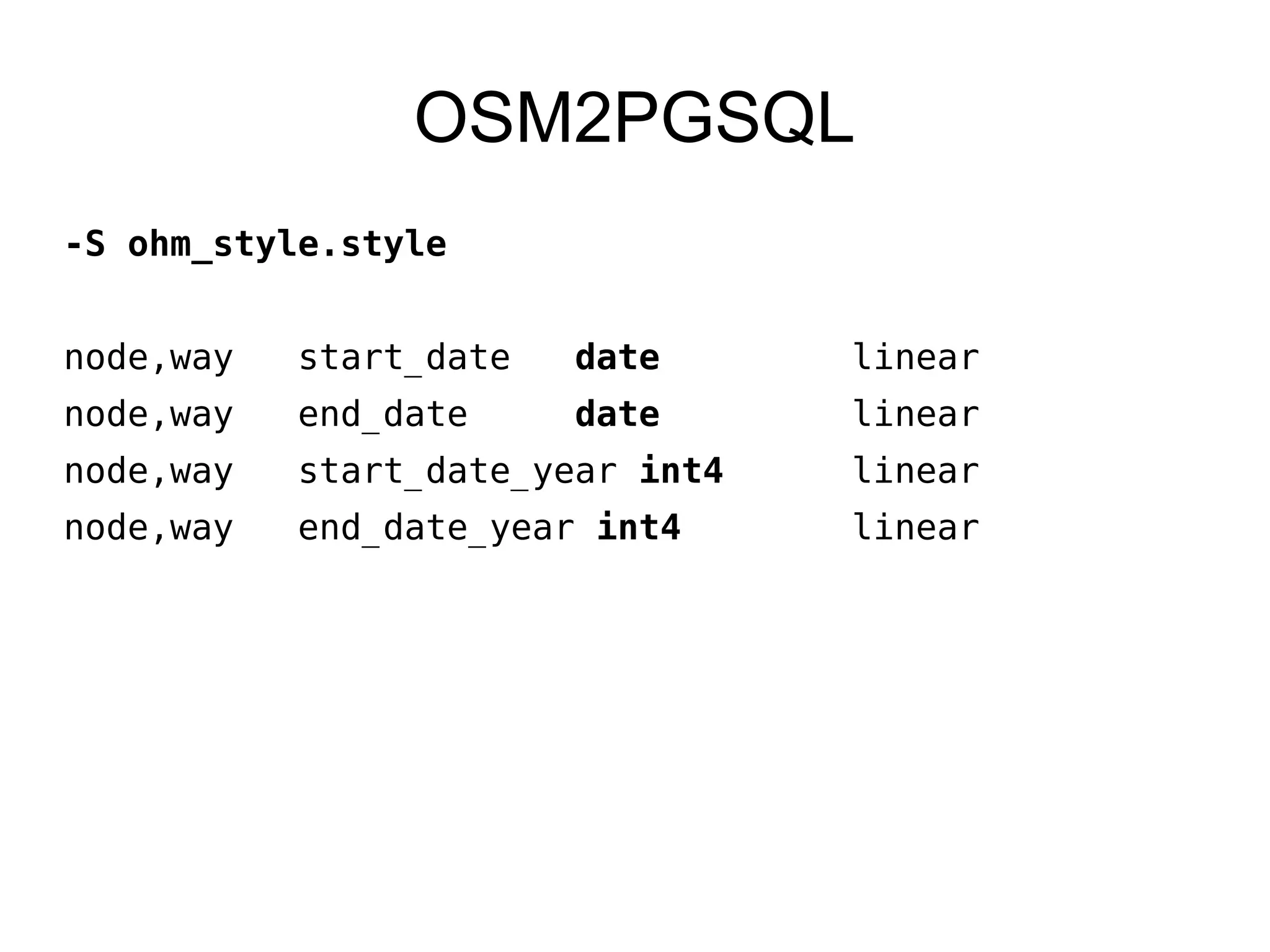
This document discusses OpenHistoricalMap (OHM), which aims to create a map of everything that has ever existed by adding a time dimension to OpenStreetMap data. It provides background on OHM and outlines the technical stack used, including the website, editors, database replication, tile generation, and potential areas for future work like improved time-based querying and interfaces. The speaker encourages participants to get involved in further developing OHM through activities at an upcoming hack day.


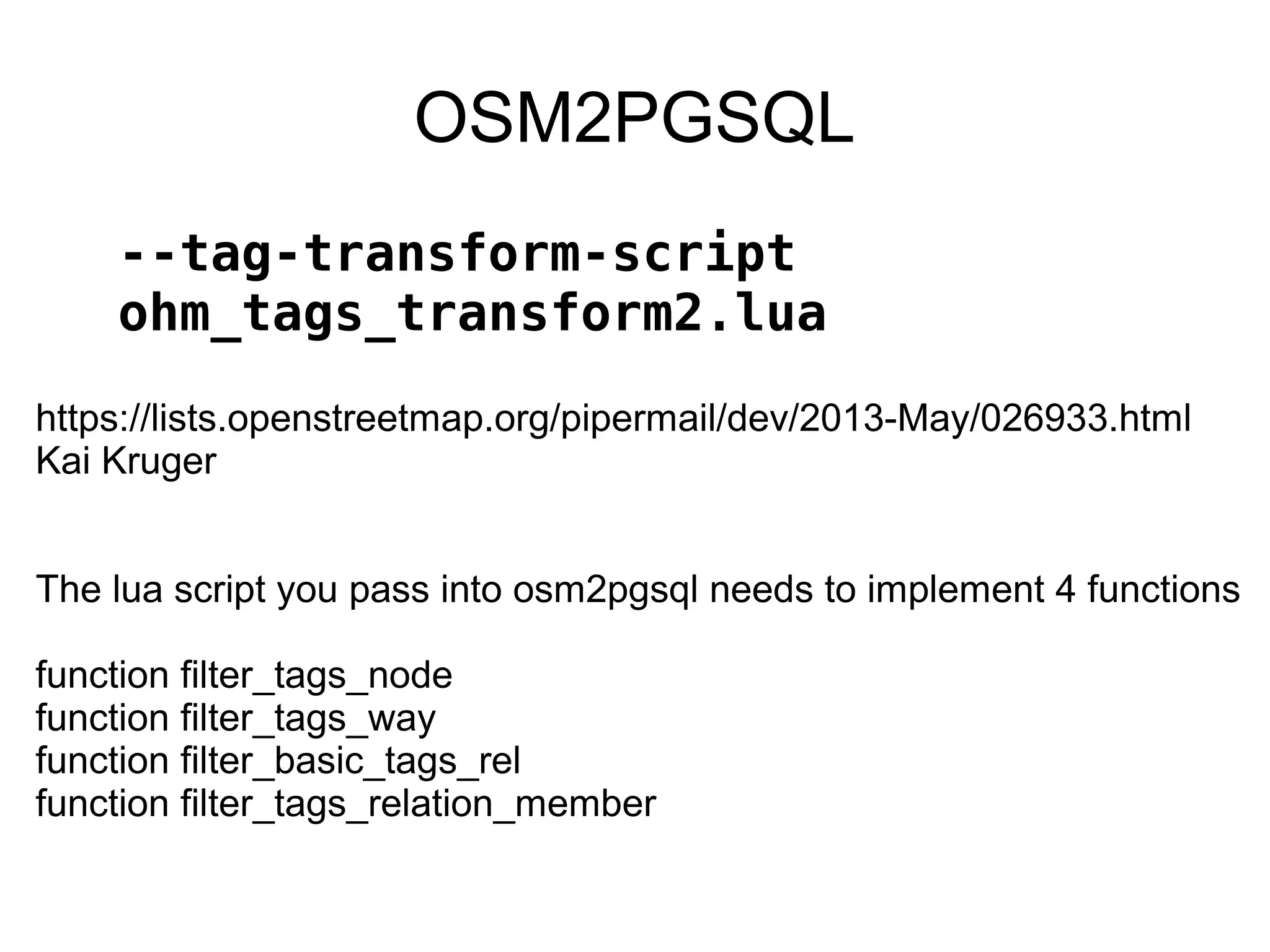
![OSM2PGSQL
--tag-transform-script
ohm_tags_transform2.lua
-- dates have to be ISO 8601 format YYYY-MM-DD
-- since postgres only goes as far back as 4713 BC, we'll store the
year in a new key
if (keyvalues["start_date"] ~= nil ) then
year,month,day = nil
year = string.match(keyvalues["start_date"], "^(-?%d+%d%d%d)")
if (year ~= nil) then
y, month = string.match(keyvalues["start_date"], "^(-?%d+%d%d%d)-
(%d%d)")
if (month == nil) then
month = "01"
day = "01"
else
y, m, day = string.match(keyvalues["start_date"], "^(-?%d+%d%d
%d)-(%d%d)-(%d%d)")
if (day == nil) then
day = "01"
end](https://image.slidesharecdn.com/timwatersohm2015-150607034916-lva1-app6891/75/Tim-waters-OpenHistoricalMap-Changes-to-the-OSM-Stack-SOTM-US-2015-44-2048.jpg)
![--because I suck at patterns!
year = string.sub(year, 0, 4)
month = string.sub(month, 0, 2)
day = string.sub(day, 0, 2)
end_date = year.. "-" .. month .. "-"..day
keyvalues["end_date"] = end_date
keyvalues["end_date_year"] = year
else
OSM2PGSQL
--tag-transform-script
ohm_tags_transform2.lua](https://image.slidesharecdn.com/timwatersohm2015-150607034916-lva1-app6891/75/Tim-waters-OpenHistoricalMap-Changes-to-the-OSM-Stack-SOTM-US-2015-45-2048.jpg)