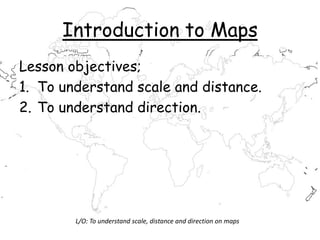
1. Introduction to Maps
Lesson objectives;
1. To understand scale and distance.
2. To understand direction.
L/O: To understand scale, distance and direction on maps
8. What is a map?
• A map is a scaled down, proportional
representation of what is found in an
area. It is always drawn from above and
must have certain key features;
– A title
– A scale
– A key to symbols
– A north arrow
L/O: To understand scale, distance and direction on maps
9. Why are there two views of the
world?
• Flatten the world here
L/O: To understand scale, distance and direction on maps
10. 1. Scale
L/O: To understand scale, distance and direction on maps
11. Scale
One of the most ________ uses for a map is
to show how ___ one place is from another.
_____ allows us to do this.
It takes real life things and ________ them
in size many times so they can be ________
on a ___.
reduces Scale shown
far important map
L/O: To understand scale, distance and direction on maps
12. Scale can be shown in three ways:
1. As a line, e.g.
2. As a statement, e.g. 4cm = 1km
3. As a ratio, e.g. 1:25,000
0 1 Km
L/O: To understand scale, distance and direction on maps
13. 2. Distance
• With a _______you can work out the
_________ one place is from
_________ on a map. There are two
types of distance, ‘as the crow flies’ and
the ______ distance.
• Road scale distance another
L/O: To understand scale, distance and direction on maps
15. 3. Direction
• Label the points on you compass and draw them into
your exercise book.
North
East
South
West
North-East
South-East
North-West
South-West
16. Your Turn!
• Complete Q 3 and 4 from p28 (Which
Direction?) from geog.1
• If you have finished…
• Complete q 5
• If you have finished that …
• Complete q6
17. Homework
• Complete two sheets;
Easternders Direction
and Scale (sheet with
cat on it)
L/O: To understand scale, distance and direction on maps