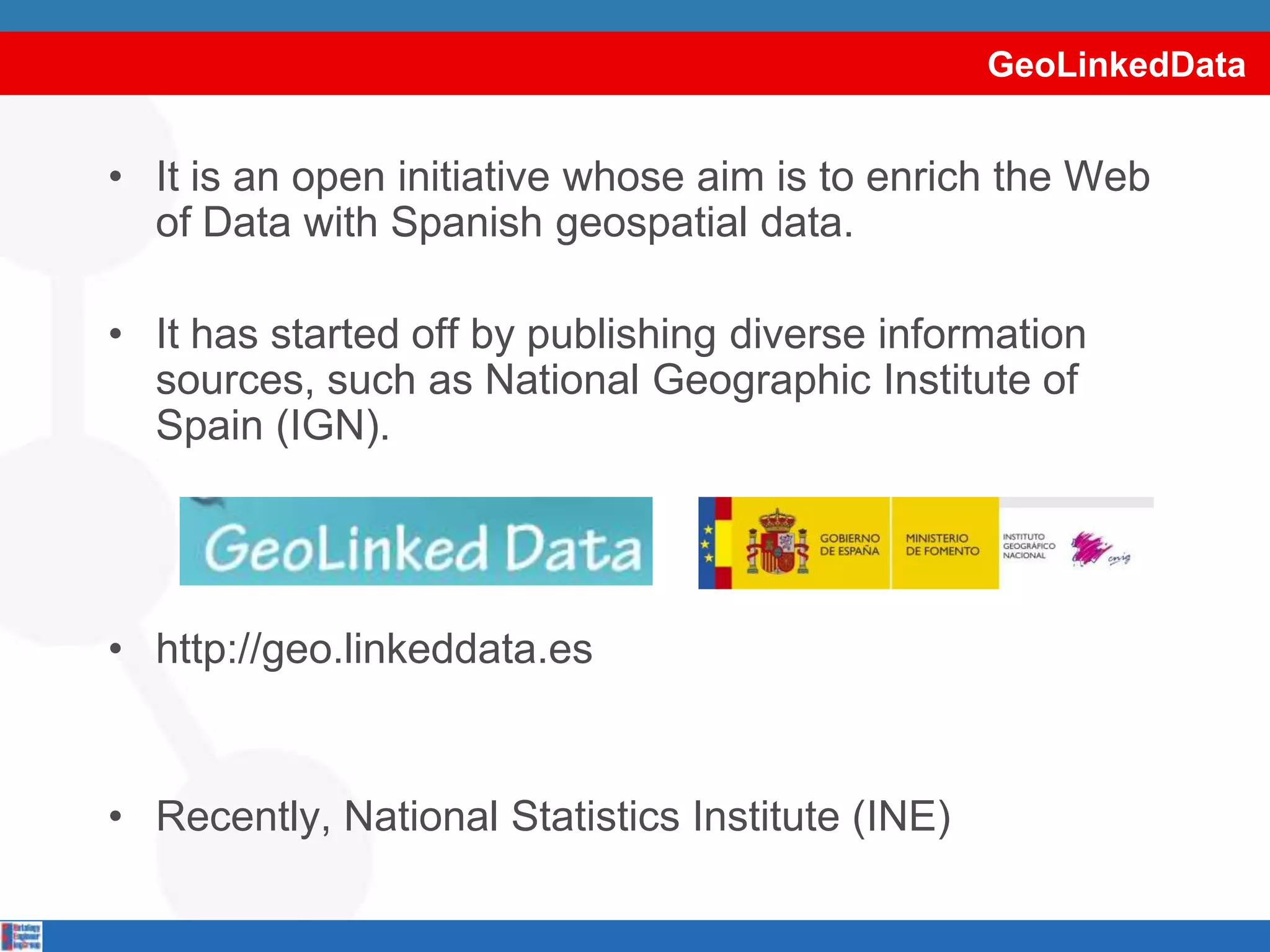
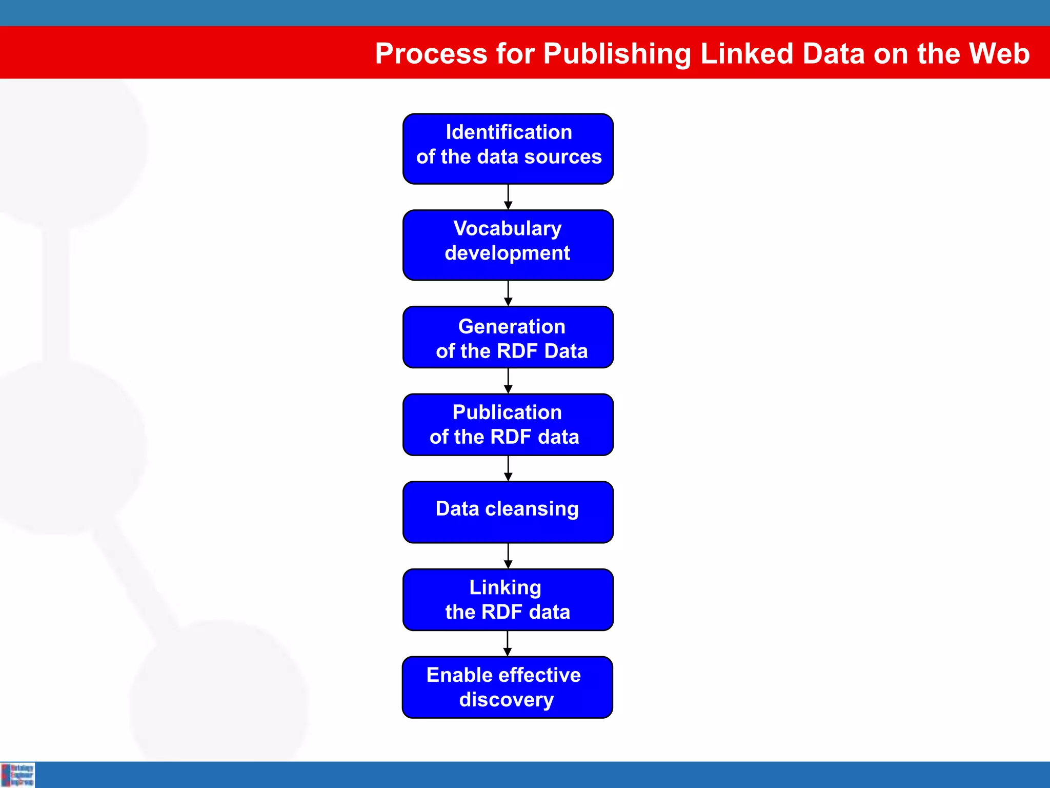
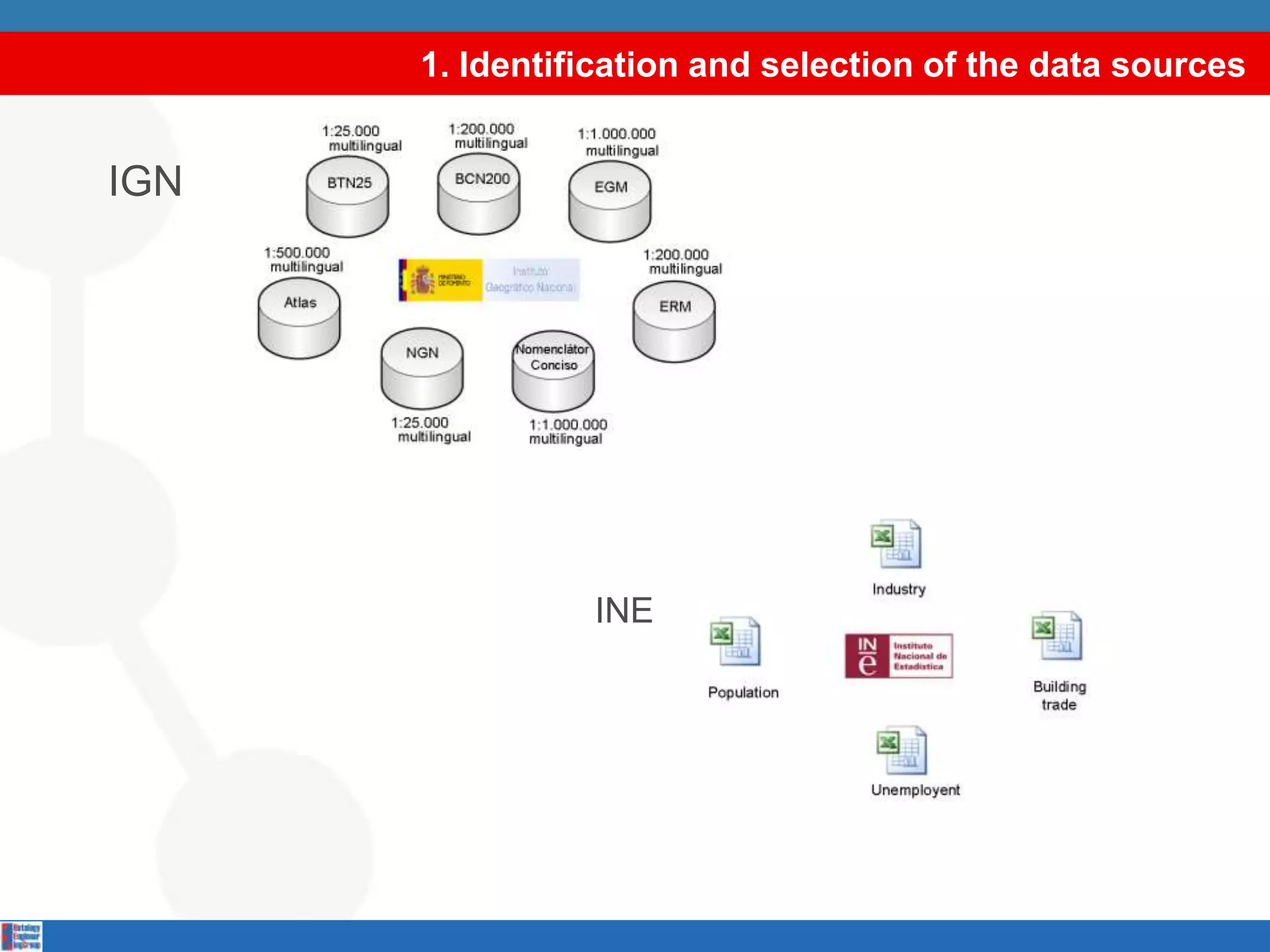
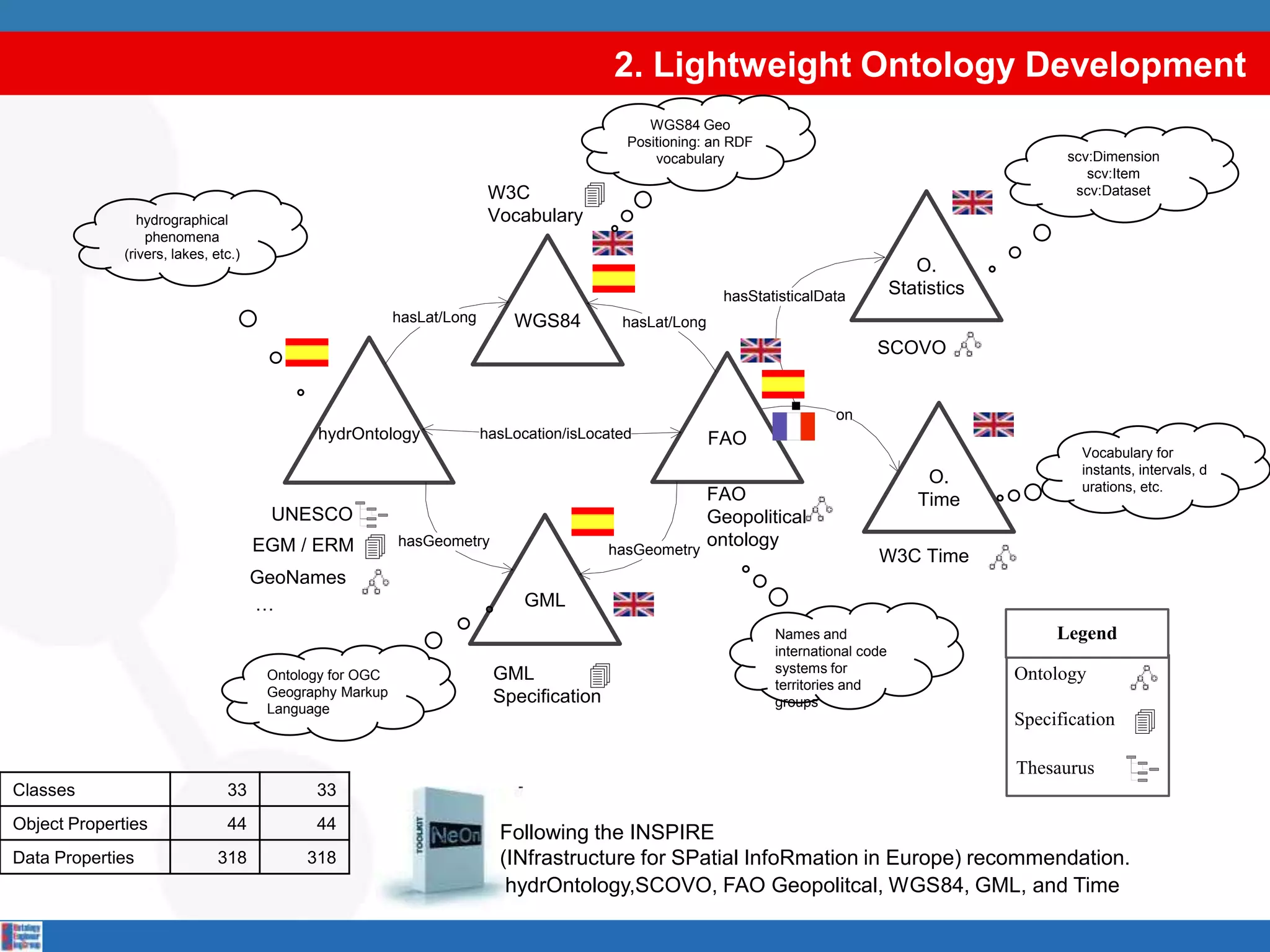
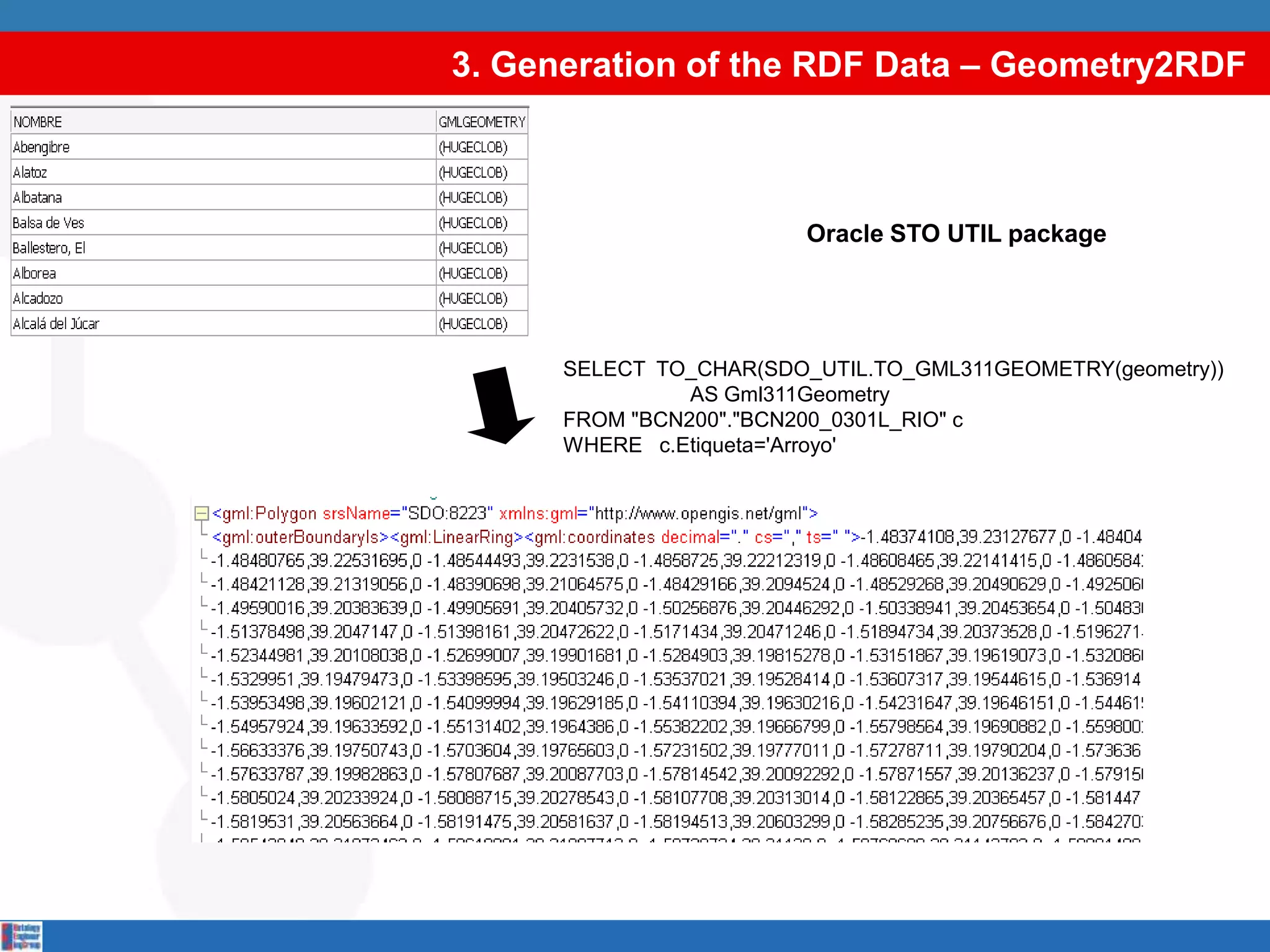
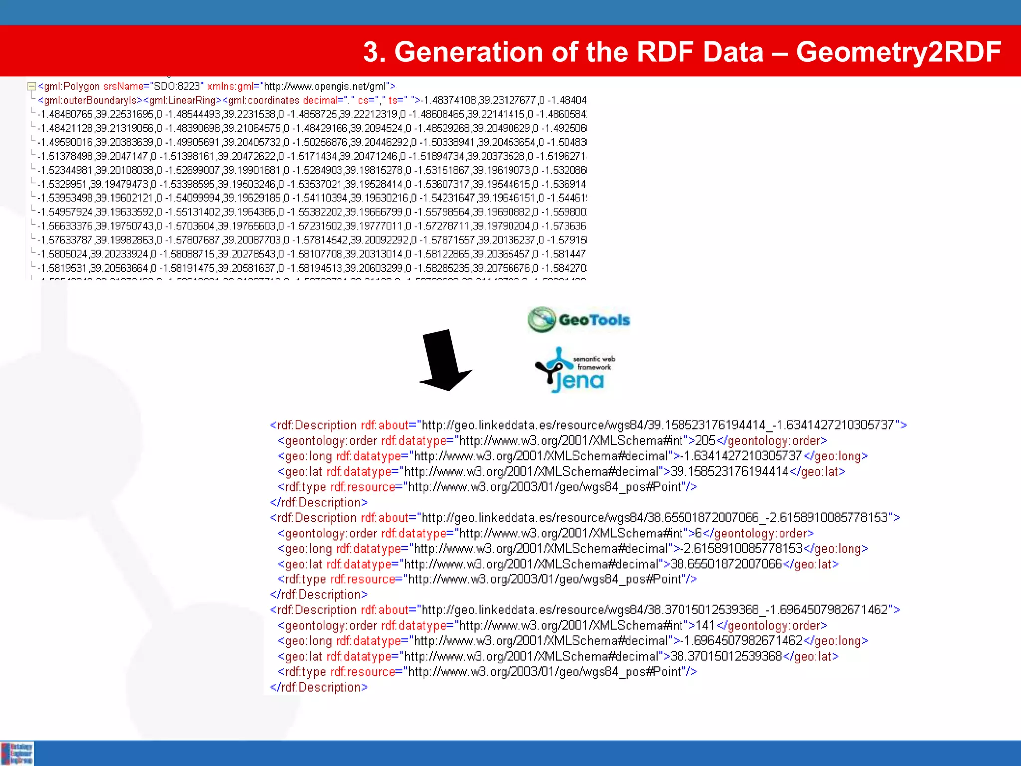
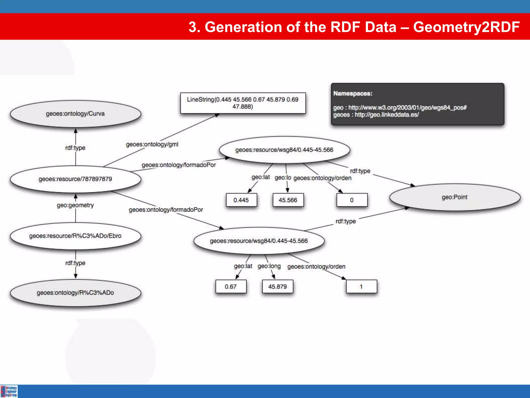
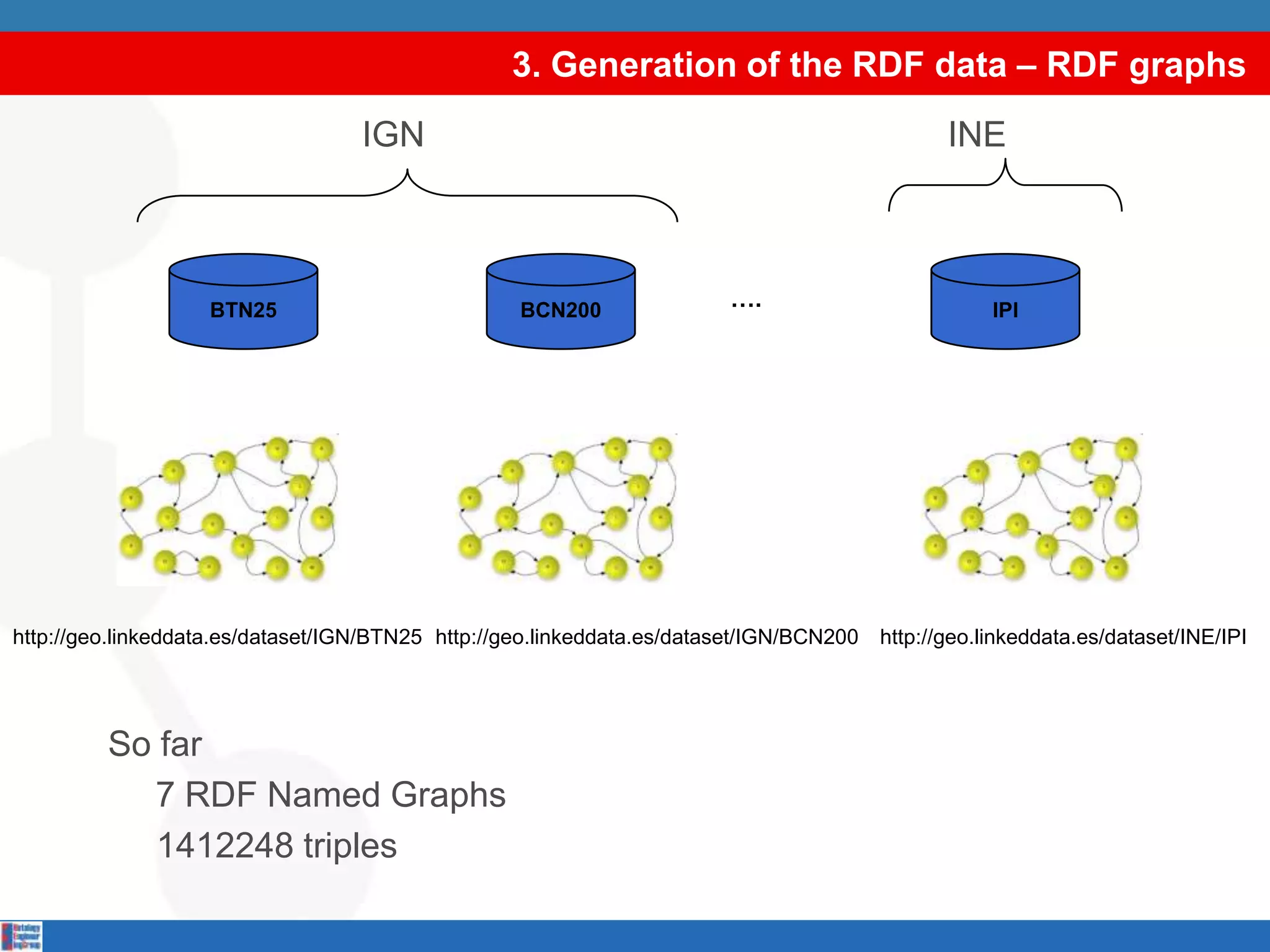
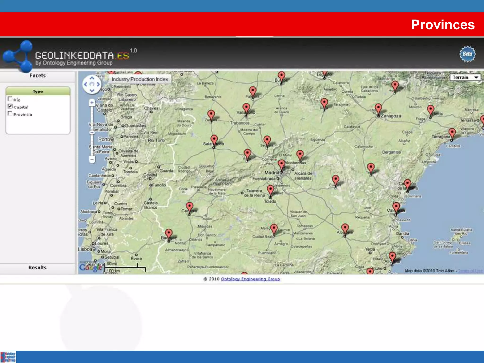
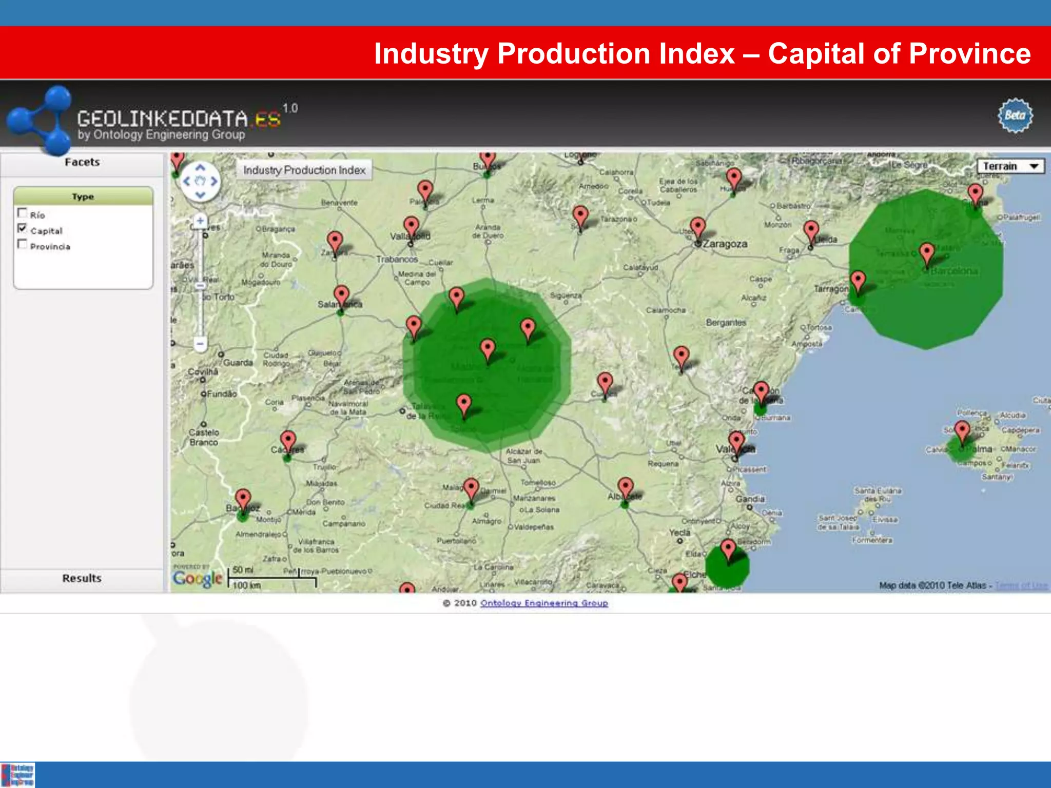
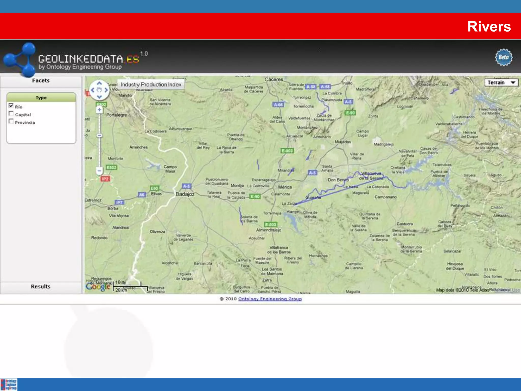
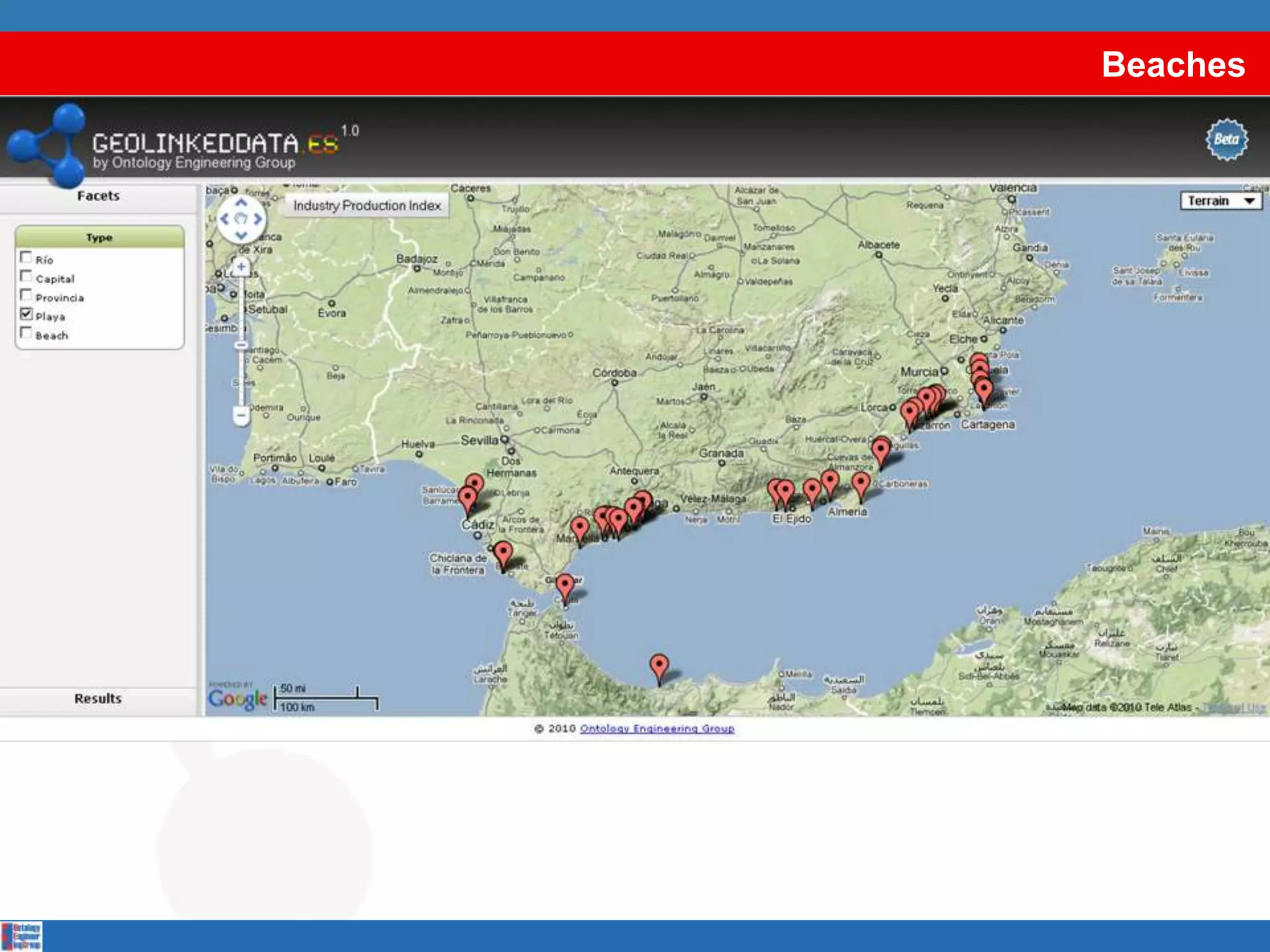
• Email
  • Like
  • Save
  • Private Content
  • Embed
 

GeoLinkedData

by

  • 1,290 views

GeoLinked Data (.es) is an open initiative whose aim is to enrich the Web of Data with Spanish geospatial data. This initiative started off by publishing diverse information sources belonging to the ...

GeoLinked Data (.es) is an open initiative whose aim is to enrich the Web of Data with Spanish geospatial data. This initiative started off by publishing diverse information sources belonging to the Spanish National Geographic Institute. Such sources are made available as RDF (Resource Description Framework) knowledge bases according to the Linked Data principles. With this work, Spain has joined the Linked Data initiative, in which the United Kingdom and Germany are already participating. In this presentation, we provide an overview of the process that has been followed for the development of this initiative.

Accessibility

Categories

Upload Details

Uploaded via SlideShare as Microsoft PowerPoint

Usage Rights

CC Attribution-NonCommercial-ShareAlike LicenseCC Attribution-NonCommercial-ShareAlike LicenseCC Attribution-NonCommercial-ShareAlike License

Flagged as inappropriate Flag as inappropriate
Flag as inappropriate

Select your reason for flagging this presentation as inappropriate. If needed, use the feedback form to let us know more details.

Cancel

1 Embed 1

http://www.linkedin.com 1

Statistics

Likes
0
Downloads
36
Comments
0
Embed Views
1
Views on SlideShare
1,289
Total Views
1,290
Post Comment
Edit your comment

GeoLinkedData GeoLinkedData Presentation Transcript