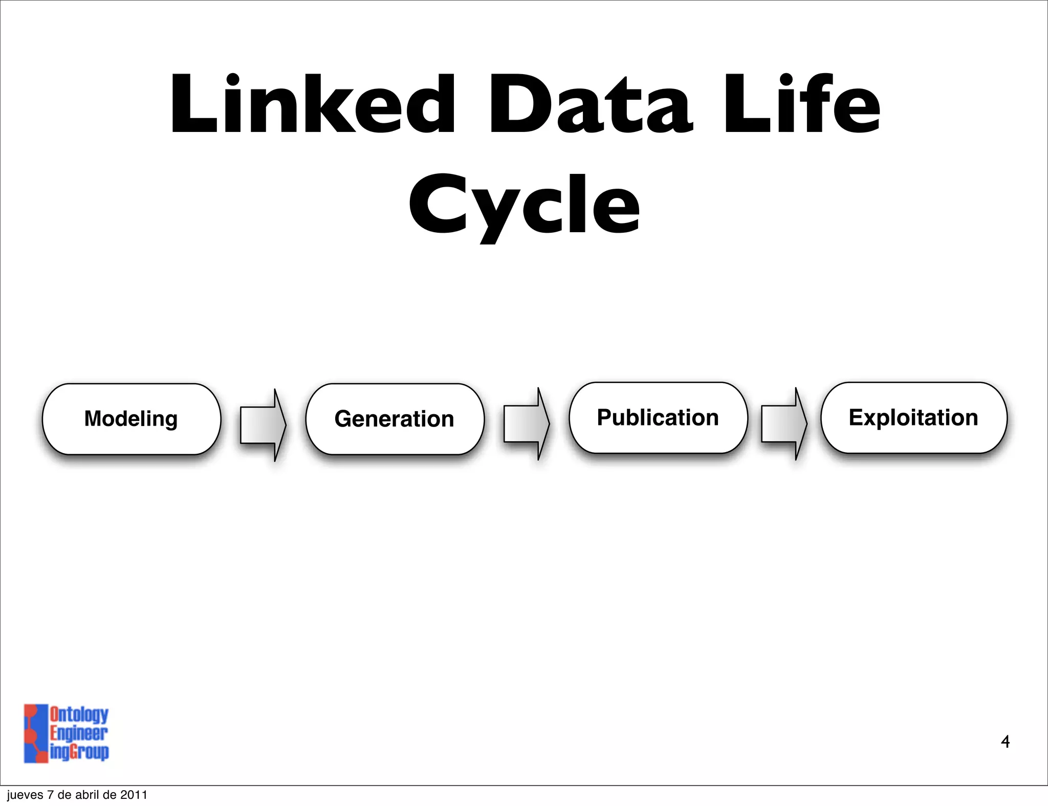
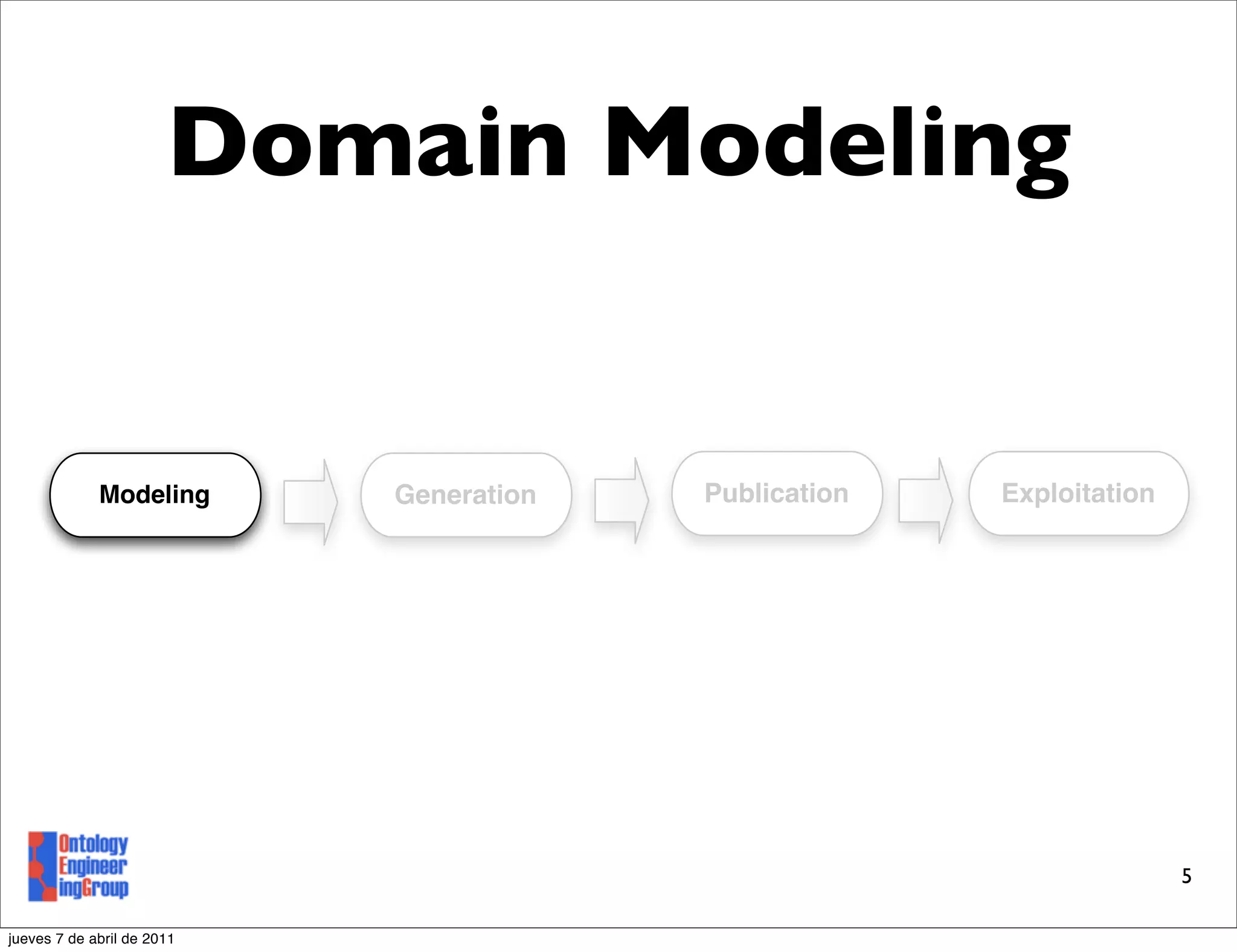
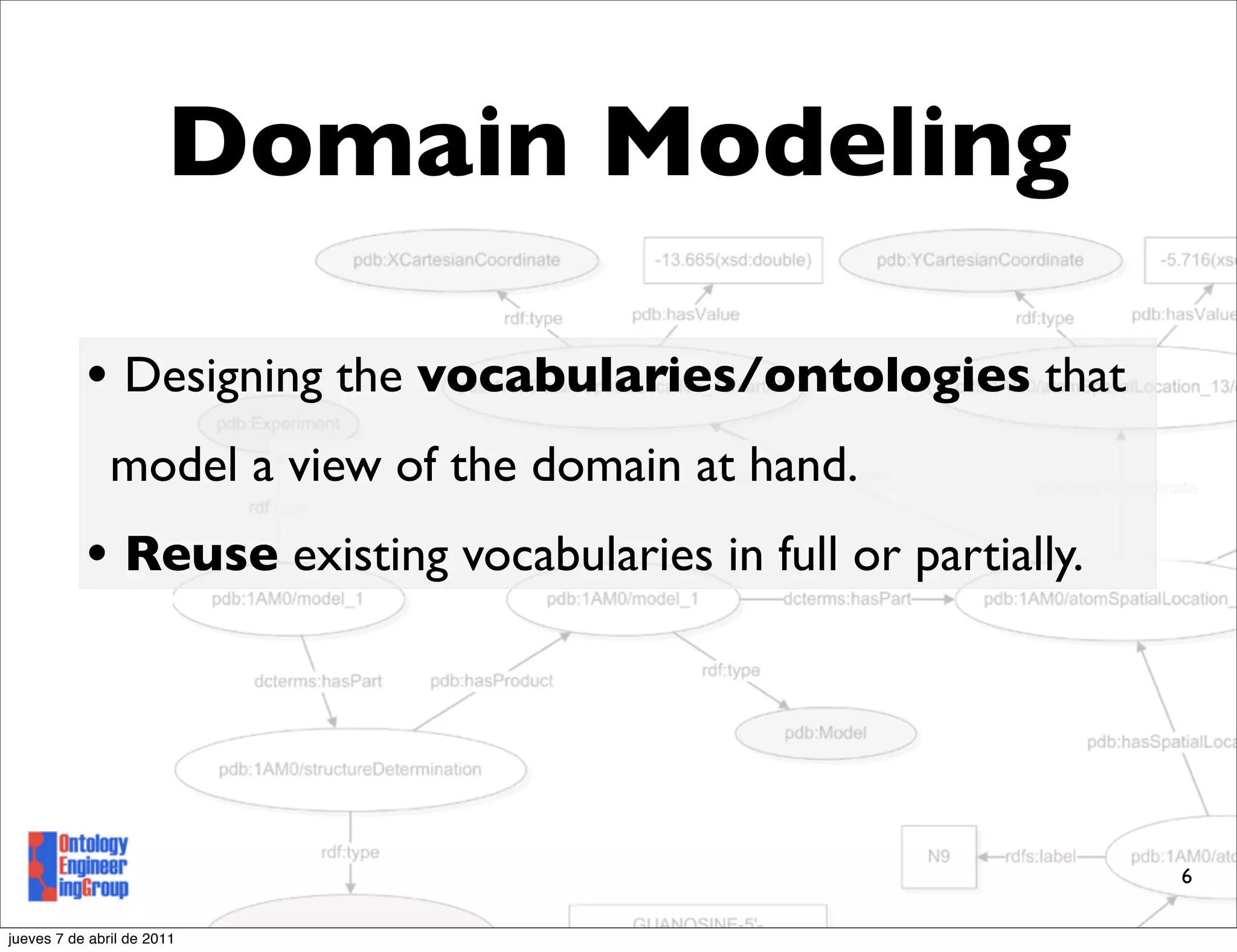
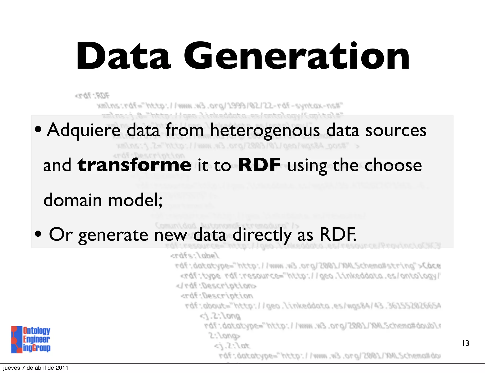
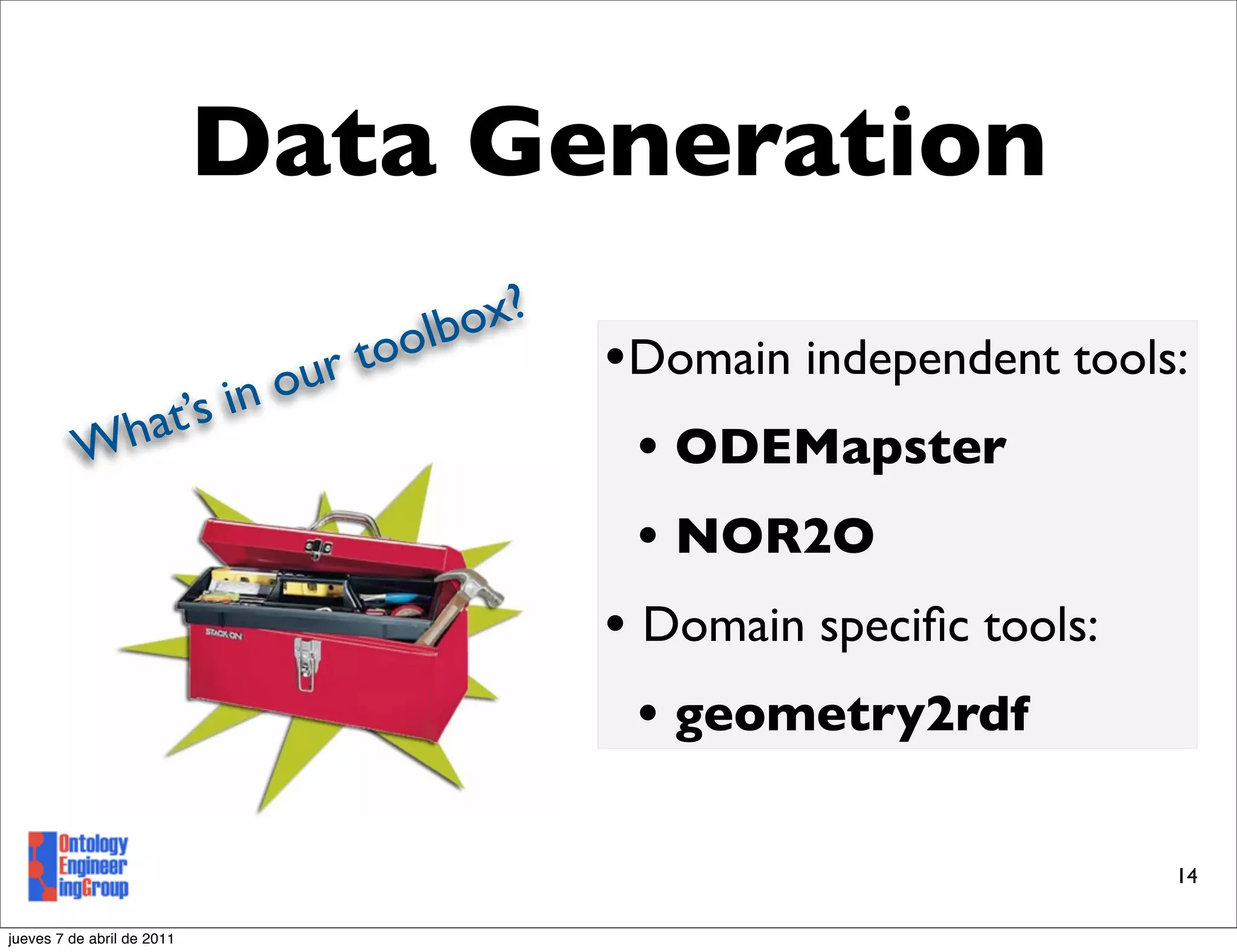
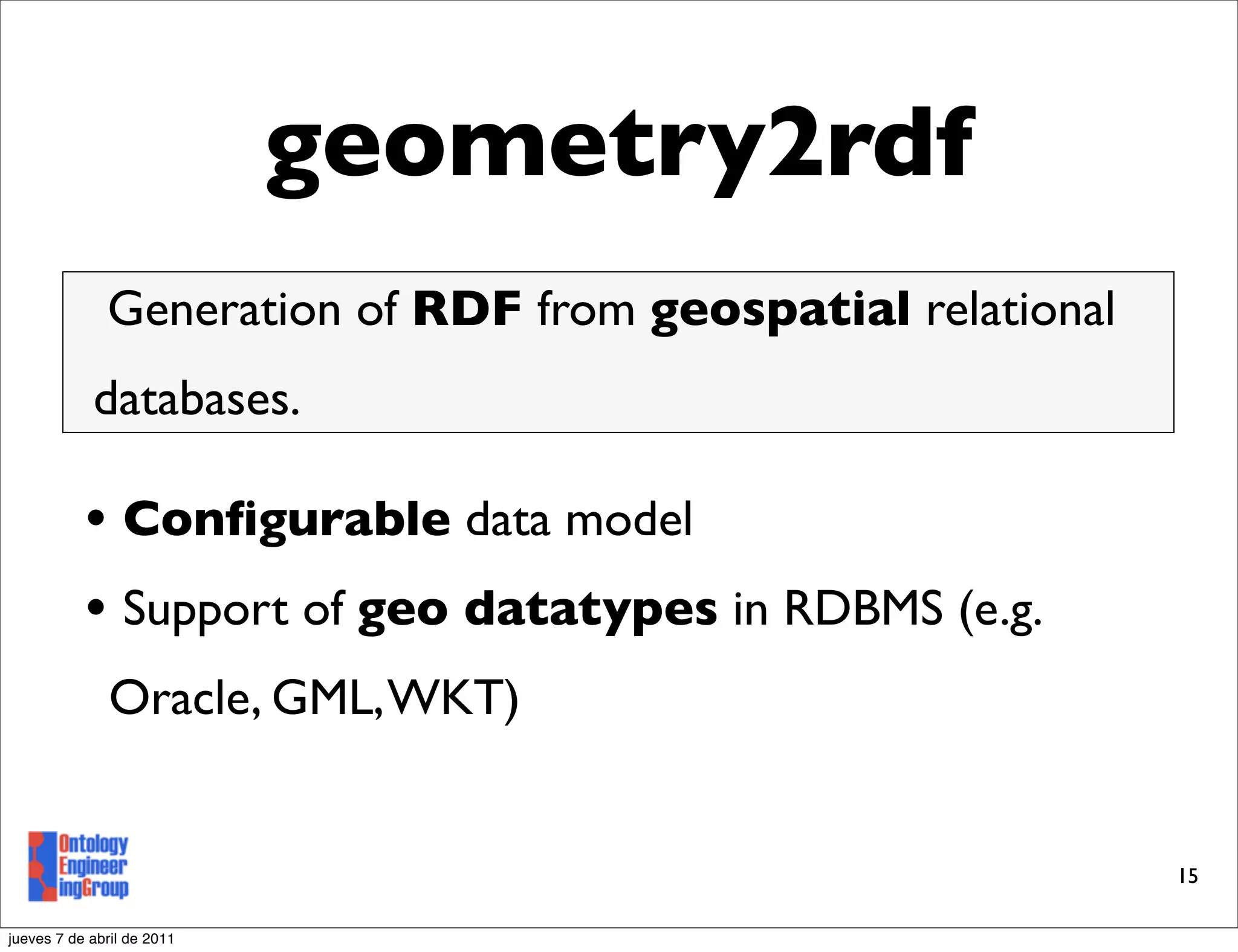
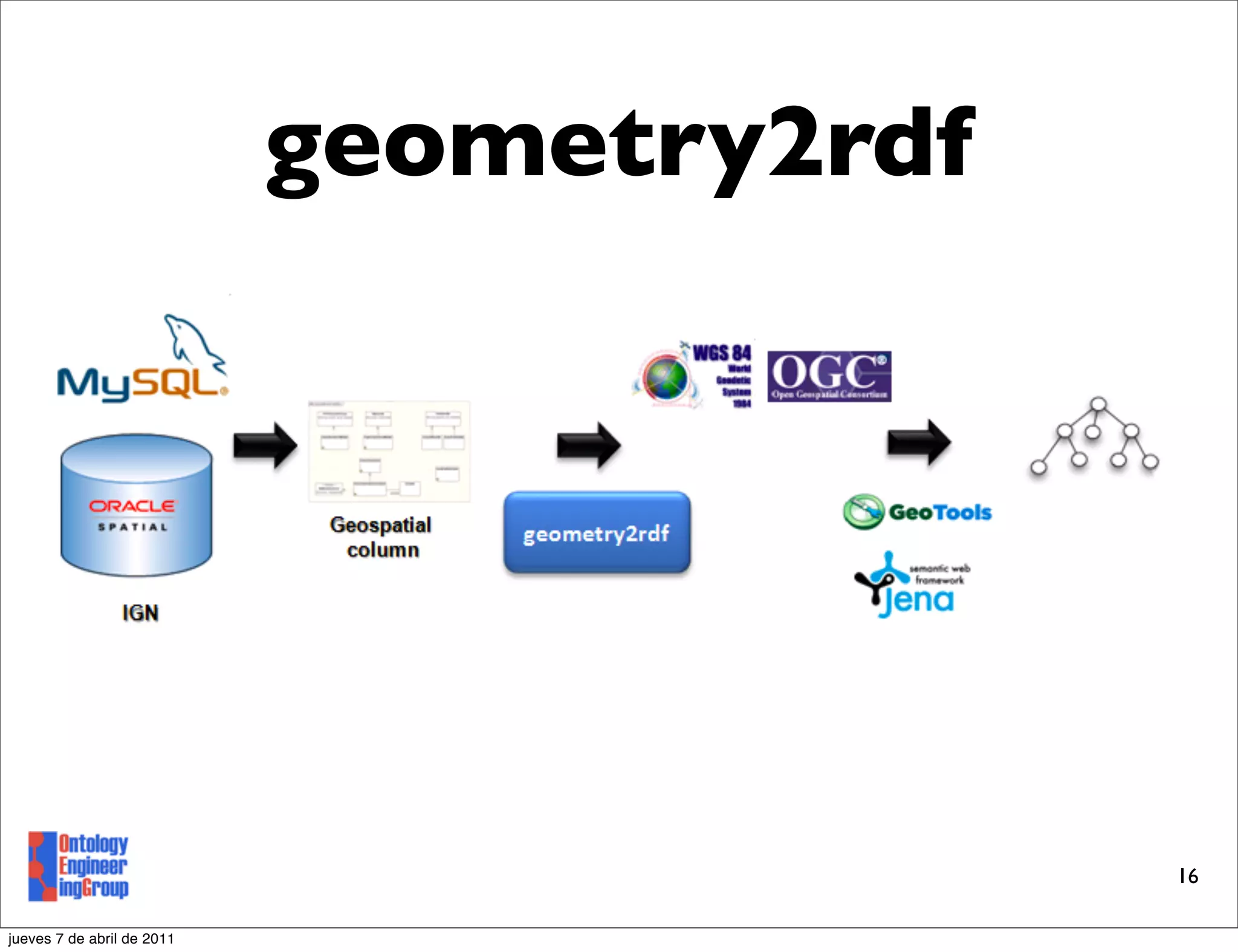
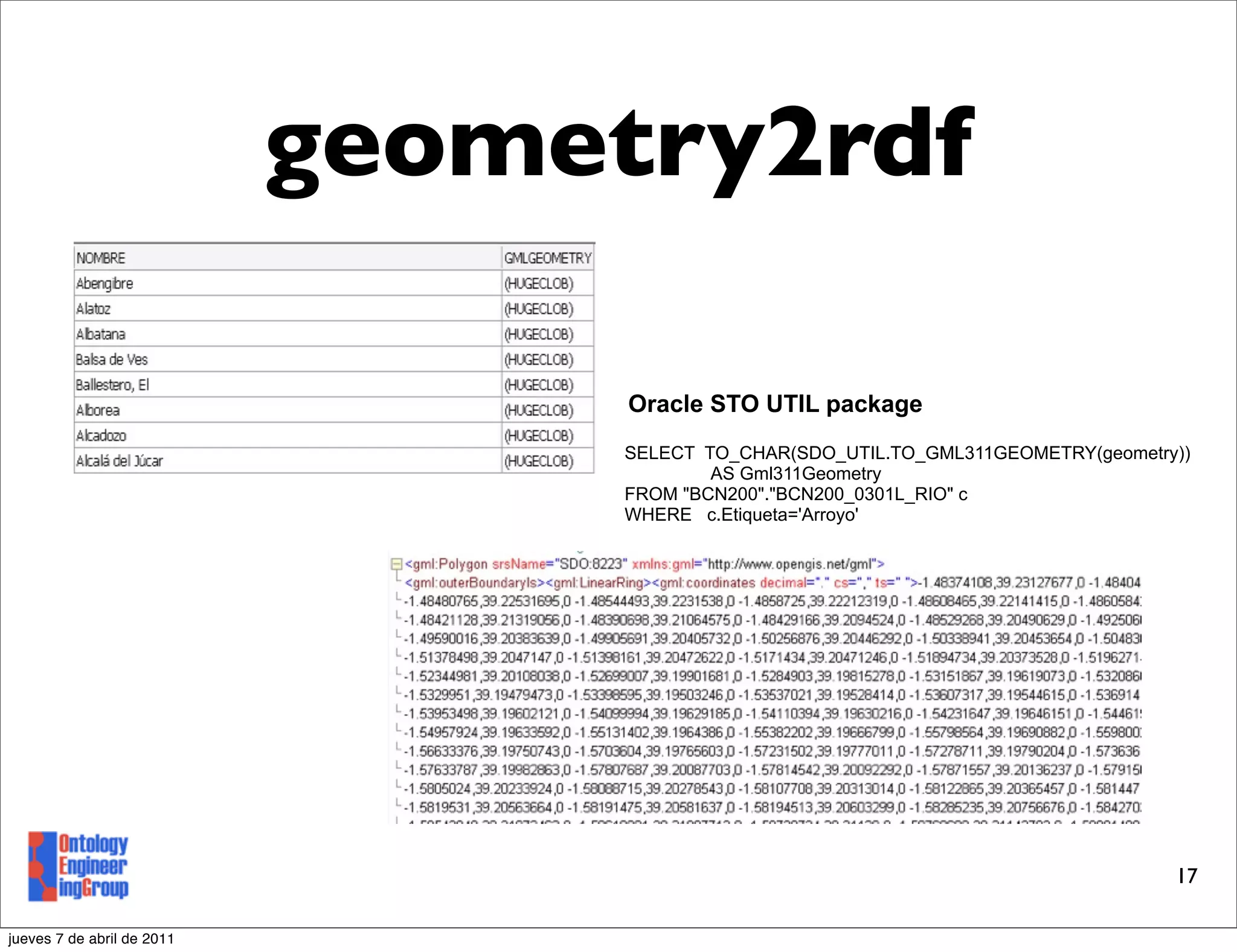
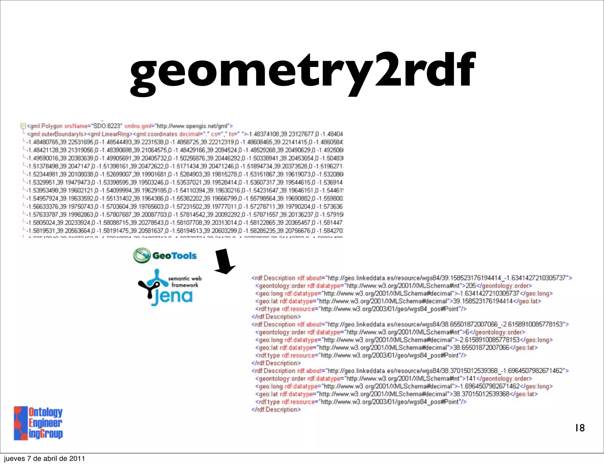
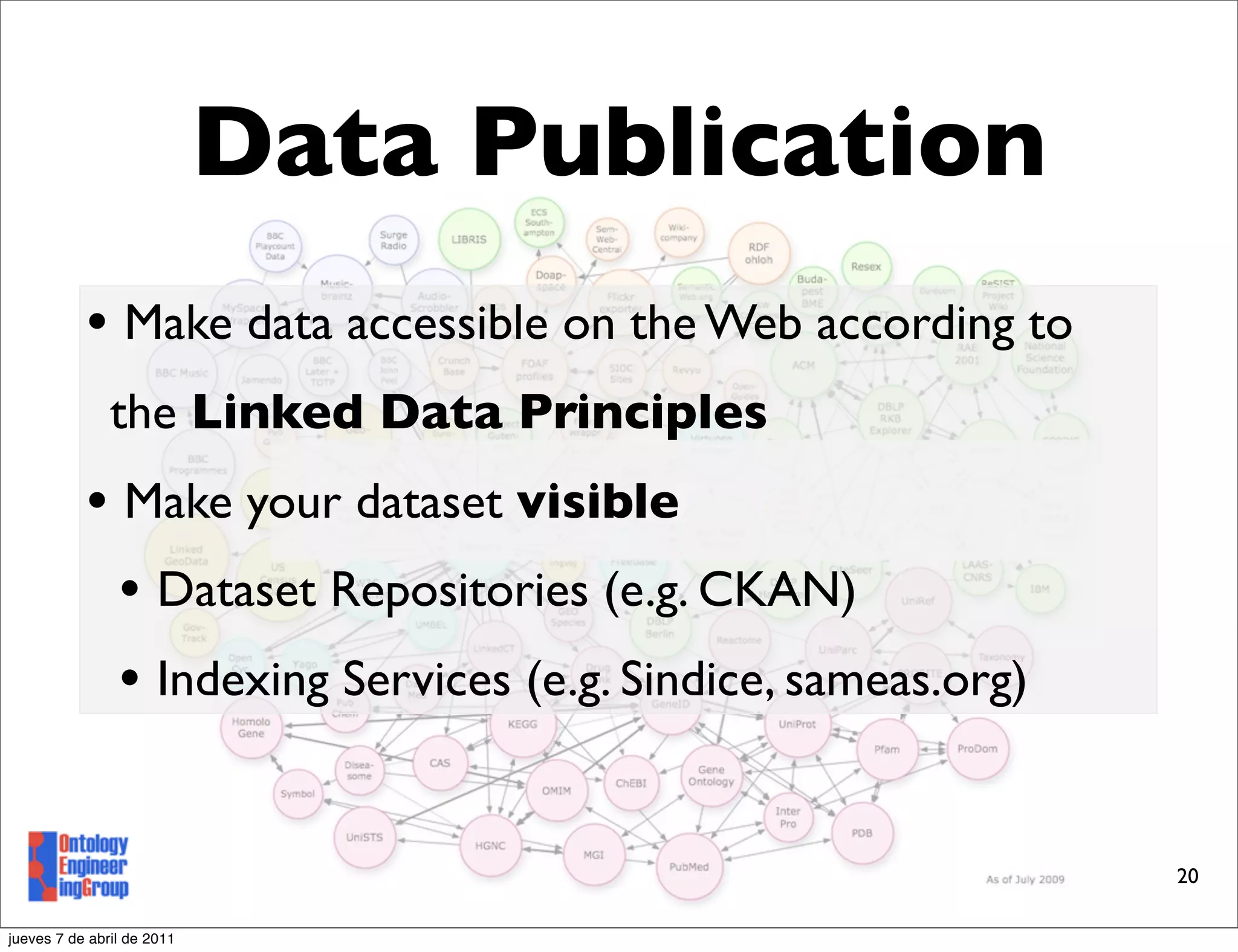
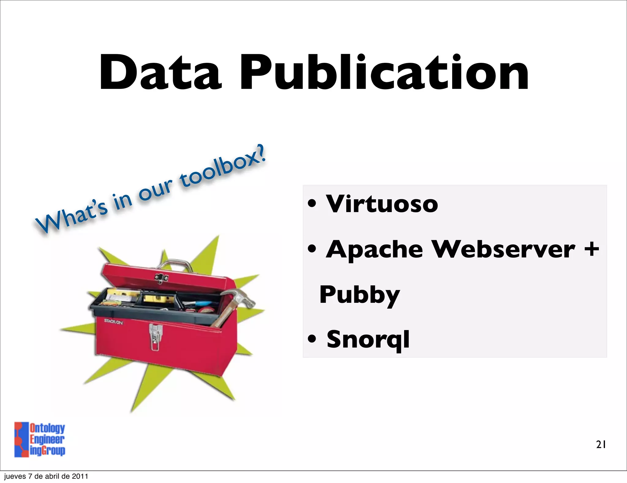
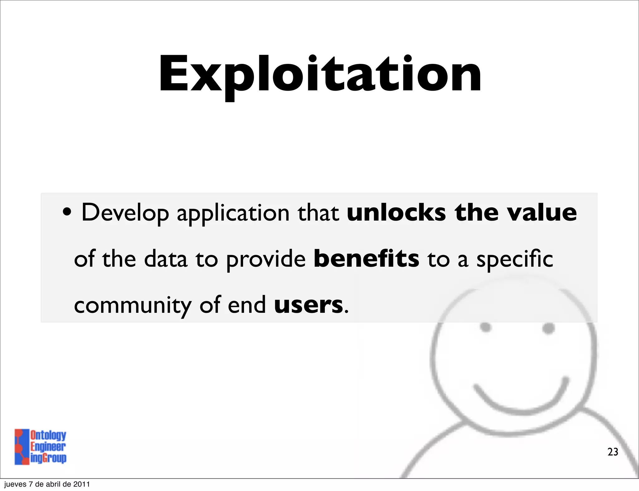
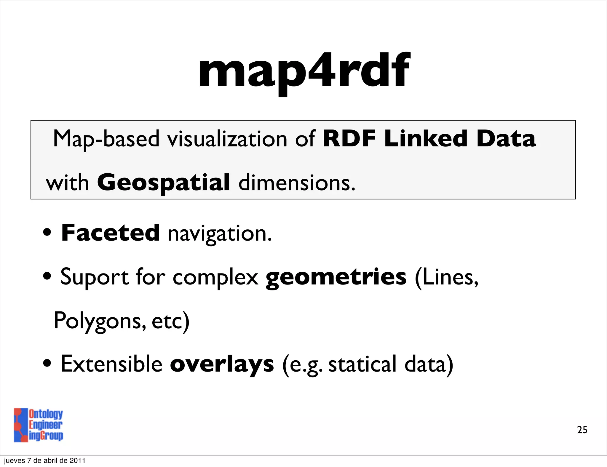
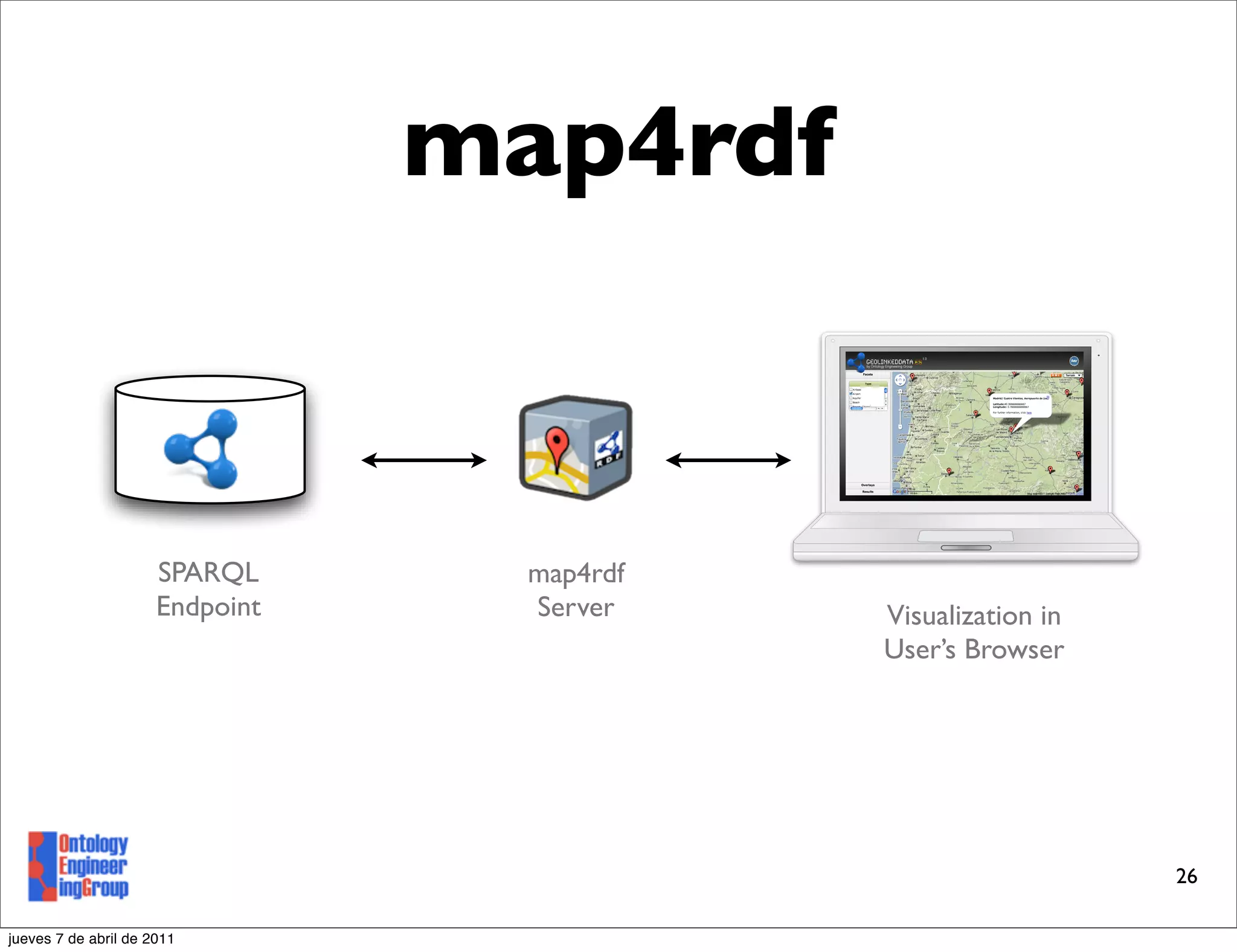
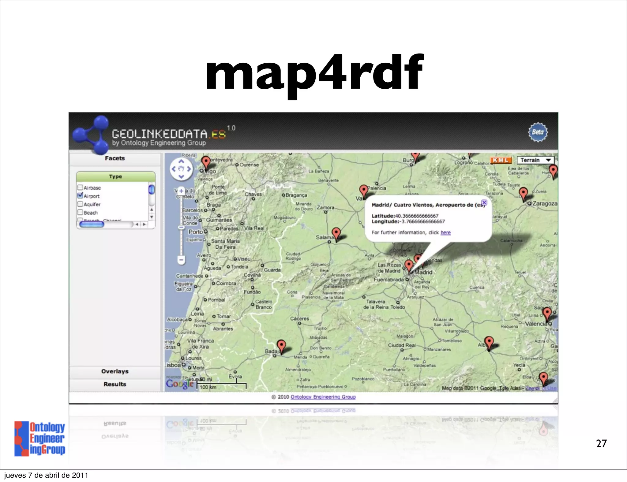
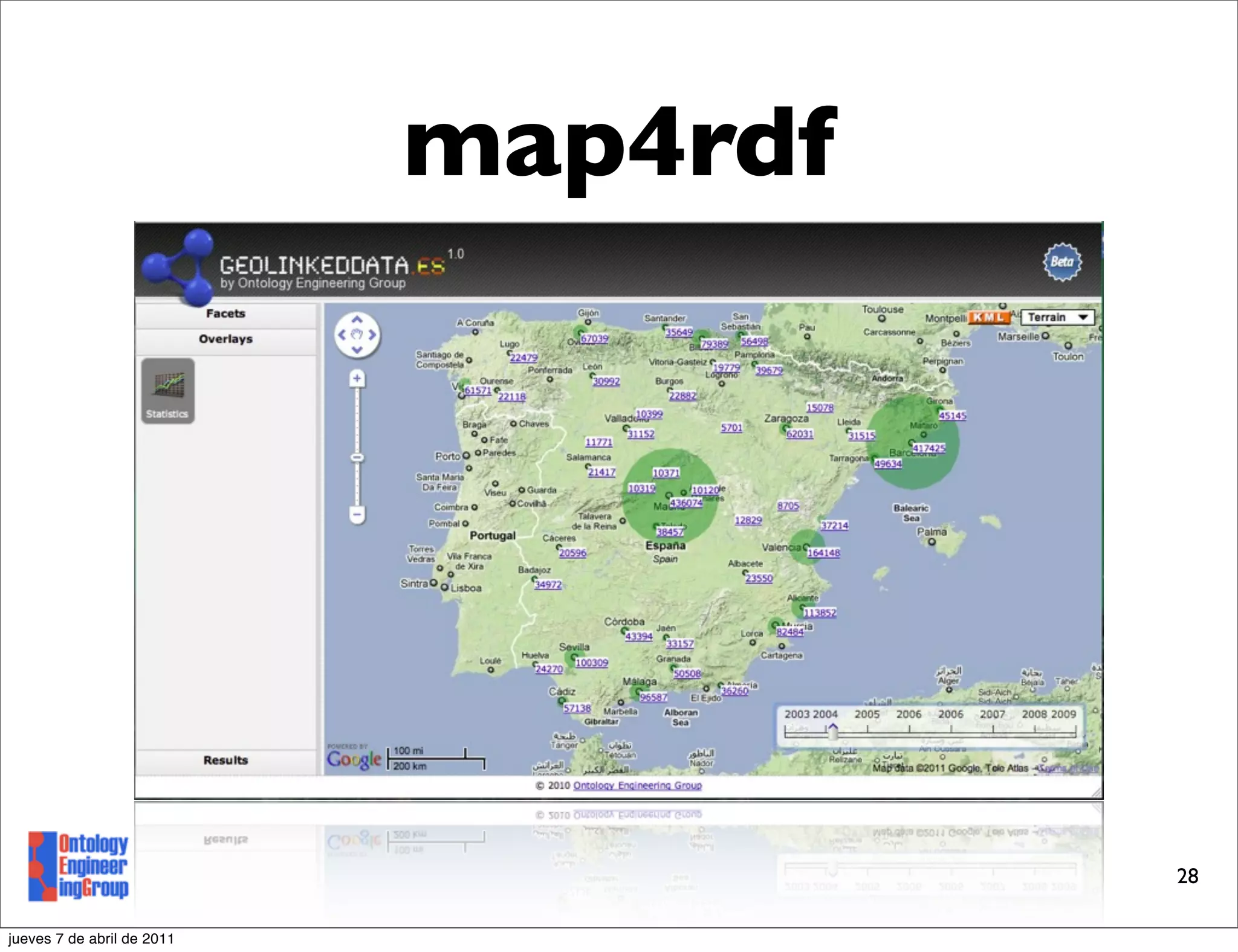
The document outlines the life cycle of linked geospatial data, including modeling geospatial domains and ontologies, generating RDF data from heterogeneous sources, publishing the data online according to linked data principles, and developing applications to unlock the value of the published geospatial data. It provides examples of tools used for each stage, such as geometry2rdf for generating RDF, Virtuoso for publishing, and map4rdf for a map-based visualization application.
A Method for Reusing and Re-engineering Non-ontological Resources for Buildin...Boris Villazón-Terrazas
To speed up the ontology development by reusing and re-engineering
non-ontological resources that have already reached some consensus by standardization bodies.
A Method for Reusing and Re-engineering Non-ontological Resources for Buildin...Boris Villazón-Terrazas
To speed up the ontology development by reusing and re-engineering
non-ontological resources that have already reached some consensus by standardization bodies.
Workshop given by Tom MacWright at Where 2.0 2011 on open source tools that let you create fast, interactive maps without using old technology like Flash or proprietary solutions like Google.
Javascript Views, Client-side or Server-side with NodeJSSylvain Zimmer
A talk I gave at the Paris Node Meetup on June 8th 2011, in front of all the best JS developers in Paris and NodeJS creator Ryan Dahl.
I hope it will make some devs avoid some of the horrible hashbang practices we see on websites like the new twitter !
Riley, Jenn. "Metadata for Visual Resources." Summer Educational Institute for Visual Resources and Image Management, University of New Mexico, June 9, 2011.
Presentation delivered as part of the NISO "Back From the Endangered List: Using Authority Data to Enhance the Semantic Web" Webinar on February 9th 2011.
Stardog is a fast, scalable, lightweight RDF database for complex SPARQL queries. It features OWL 2 reasoning, transactions, a robust security layer, integrity constraint validation via Pellet 3, and world-class support.
Nowadays, information management systems deal with data originating from different sources including relational databases, NoSQL data stores, and Web data formats, varying not only in terms of data formats, but also in the underlying data model. Integrating data from heterogeneous data sources is a time-consuming and error-prone engineering task; part of this process requires that the data has to be transformed from its original form to other forms, repeating all along the life cycle. With this report we provide a principled overview on the fundamental data shapes tabular, tree, and graph as well as transformations between them, in order to gain a better understanding for performing said transformations more efficiently and effectively.
A Provenance-Aware Linked Data Application for Trip Management and OrganizationBoris Villazón-Terrazas
A Provenance-Aware Linked Data Application for Trip Management and Organization, presented at the Triplification Challenge, I-Semantics 2011.
We present, an application for exploiting, managing and organizing Linked Data in the domain of news and blogs about travelling. El Viajero makes use of several heterogeneous datasets to help users to plan future trips, and relies on the Open Provenance Model for modelling the provenance information of the resources.
GeoLinked Data (.es) is an open initiative whose aim is to enrich the Web of Data with Spanish geospatial data. This initiative started off by publishing diverse information sources belonging to the Spanish National Geographic Institute. Such sources are made available as RDF (Resource Description Framework) knowledge bases according to the Linked Data principles. With this work, Spain has joined the Linked Data initiative, in which the United Kingdom and Germany are already participating. In this presentation, we provide an overview of the process that has been followed for the development of this initiative.
1. Alexander De Leon, Boris Villazon-Terrazas, Luis M. Vilches, Victor
Saquicela
Ontology Engineering Group
Universidad Politécnica de Madrid
Madrid, Spain
jueves 7 de abril de 2011
2. Motivation
• 80% information has a geospatial part.
• GeoLinkedData is an open initiative whose
aim is to enrich the Web of Data with Spanish
geospatial data.
http://geo.linkeddata.es
2
jueves 7 de abril de 2011
3. Motivation
• It is publishing diverse information from the
National Geographic Institute (IGN) and
the National Statistics Institute (INE).
http://geo.linkeddata.es
3
jueves 7 de abril de 2011
4. Linked Data Life
Cycle
Modeling Generation Publication Exploitation
4
jueves 7 de abril de 2011
5. Domain Modeling
Modeling Generation Publication Exploitation
5
jueves 7 de abril de 2011
6. Domain Modeling
• Designing the vocabularies/ontologies that
model a view of the domain at hand.
• Reuse existing vocabularies in full or partially.
6
jueves 7 de abril de 2011
7. Geometry Model
• Simple Features Specification as base
hyerarchy of geometry types.
• Feature and Geometry are separate objects
Requirements captured at GeoVoCamp Southampton 2011 7
jueves 7 de abril de 2011
8. Geometry Model
• A feature can have multiple geometries,
geometries are parameterized (e.g. reference
system, dimension, resolution, temporal aspects)
• Different geometry representations are
resolvable via content negotiation.
Requirements captured at GeoVoCamp Southampton 2011 8
jueves 7 de abril de 2011
9. Geometry Model
• Topological relations (as per RCC8) can be
inferred or made explicit between geometries.
Requirements captured at GeoVoCamp Southampton 2011 9
jueves 7 de abril de 2011
10. Geometry Model
Simple Feature Specification 2010 OGC. 10
jueves 7 de abril de 2011
11. Geometry Model
• One importante issue: How to handle order
of points in composite geometries?
• Using an order data property.
• rdf:seq
• rdf:List
• SPARQL 1.1 allows to query this.
Requirements captured at GeoVoCamp Southampton 2011 11
jueves 7 de abril de 2011
12. Data Generation
Modeling Generation Publication Exploitation
12
jueves 7 de abril de 2011
13. Data Generation
• Adquiere data from heterogenous data sources
and transforme it to RDF using the choose
domain model;
• Or generate new data directly as RDF.
13
jueves 7 de abril de 2011
14. Data Generation
olb ox?
ou r to •Domain independent tools:
at’s in
Wh • ODEMapster
• NOR2O
• Domain specific tools:
• geometry2rdf
14
jueves 7 de abril de 2011
15. geometry2rdf
Generation of RDF from geospatial relational
databases.
• Configurable data model
• Support of geo datatypes in RDBMS (e.g.
Oracle, GML, WKT)
15
jueves 7 de abril de 2011
17. geometry2rdf
Oracle STO UTIL package
SELECT TO_CHAR(SDO_UTIL.TO_GML311GEOMETRY(geometry))
AS Gml311Geometry
FROM "BCN200"."BCN200_0301L_RIO" c
WHERE c.Etiqueta='Arroyo'
17
jueves 7 de abril de 2011
19. Data Publication
Modeling Generation Publication Exploitation
19
jueves 7 de abril de 2011
20. Data Publication
• Make data accessible on the Web according to
the Linked Data Principles
• Make your dataset visible
• Dataset Repositories (e.g. CKAN)
• Indexing Services (e.g. Sindice, sameas.org)
20
jueves 7 de abril de 2011
21. Data Publication
olb ox?
ou r to
h at’s in • Virtuoso
W
• Apache Webserver +
Pubby
• Snorql
21
jueves 7 de abril de 2011
22. Exploitation
Modeling Generation Publication Exploitation
22
jueves 7 de abril de 2011
23. Exploitation
• Develop application that unlocks the value
of the data to provide benefits to a specific
community of end users.
23
jueves 7 de abril de 2011
24. Exploitation
olb ox?
ou r to
at’s in
Wh
• map4rdf
24
jueves 7 de abril de 2011
25. map4rdf
Map-based visualization of RDF Linked Data
with Geospatial dimensions.
• Faceted navigation.
• Suport for complex geometries (Lines,
Polygons, etc)
• Extensible overlays (e.g. statical data)
25
jueves 7 de abril de 2011
26. map4rdf
SPARQL map4rdf
Endpoint Server Visualization in
User’s Browser
26
jueves 7 de abril de 2011