This document provides information about winds and the factors that influence them. It discusses:
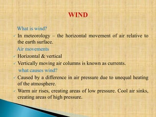
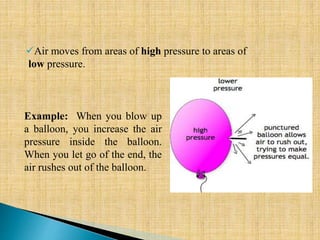
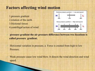
- What causes wind including differences in air pressure from uneven heating of the atmosphere. Warm air rises creating low pressure areas and cool air sinks creating high pressure areas.
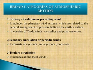
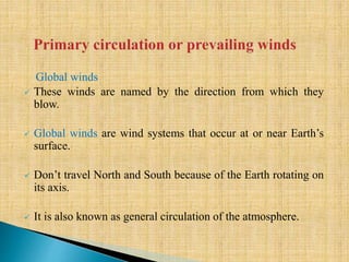
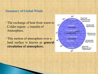
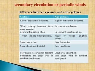
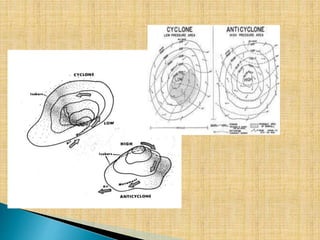
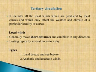
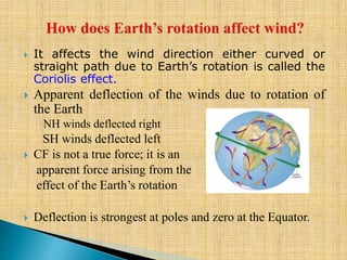
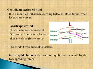
- The primary, secondary, and tertiary global wind systems. The primary circulation includes the trade winds and westerlies. Secondary winds include monsoons and cyclones/anticyclones. Tertiary winds are local winds.
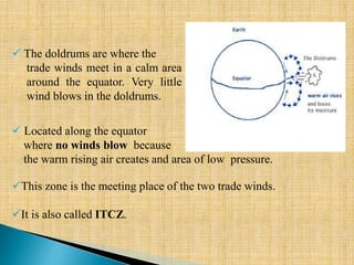
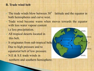
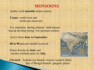
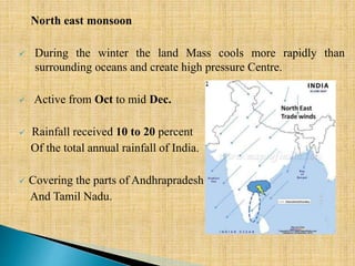
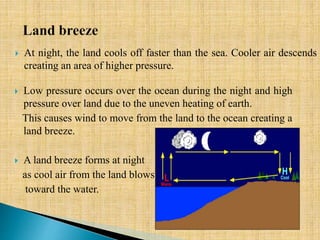
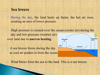
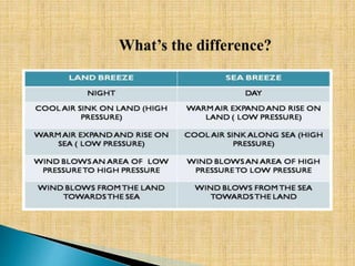
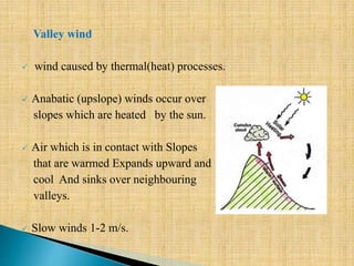
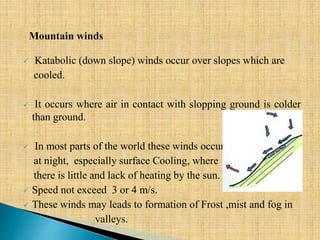
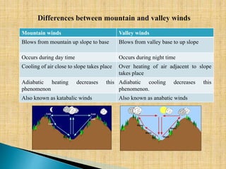
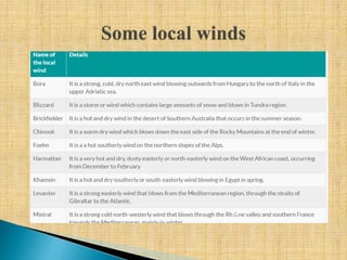
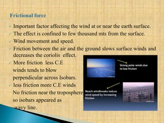
- Features of different wind types like the doldrums, trade winds, westerlies, and polar easterlies. It also discusses monsoons, land/sea breezes, and valley winds.