Download as PDF, PPTX


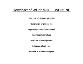

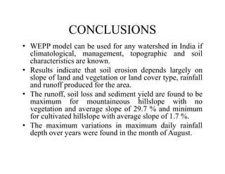


This project presentation demonstrates the use of the Water Erosion Prediction Project (WEPP) model to estimate soil loss due to inter-rill erosion in Chitrakoot, Uttar Pradesh, India. The objectives are to analyze rainfall events and demonstrate estimation of average annual precipitation, runoff, soil loss, and sediment yield using WEPP. Input data on slope, soil, climate, and management are used. Results show soil loss and runoff depend on slope and land cover. Soil loss and sediment yield are highest for mountainous slopes with no vegetation and lowest for cultivated slopes. Variations in monthly rainfall are highest in August. WEPP can be used to estimate erosion in any Indian watershed given