Download to read offline


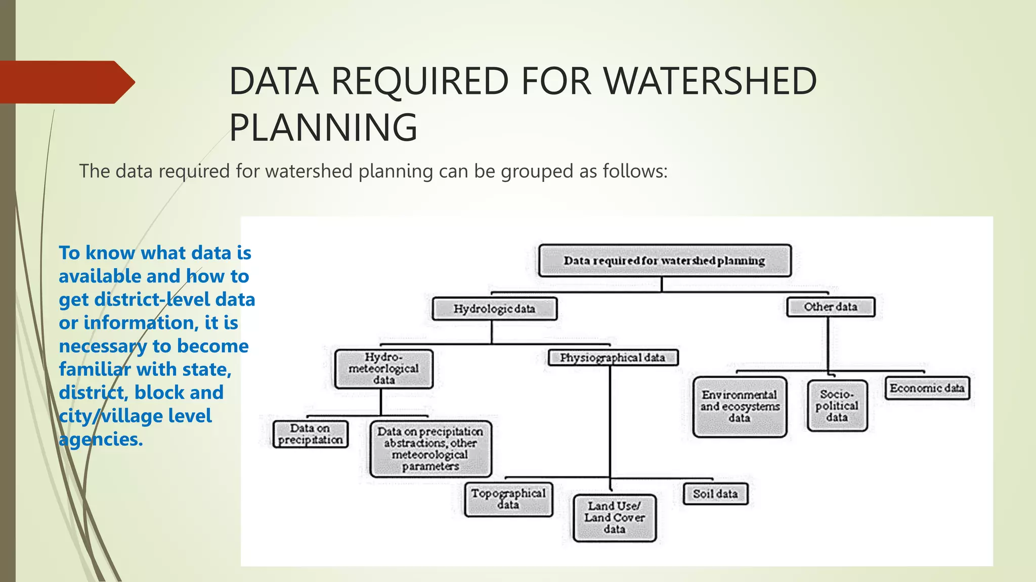

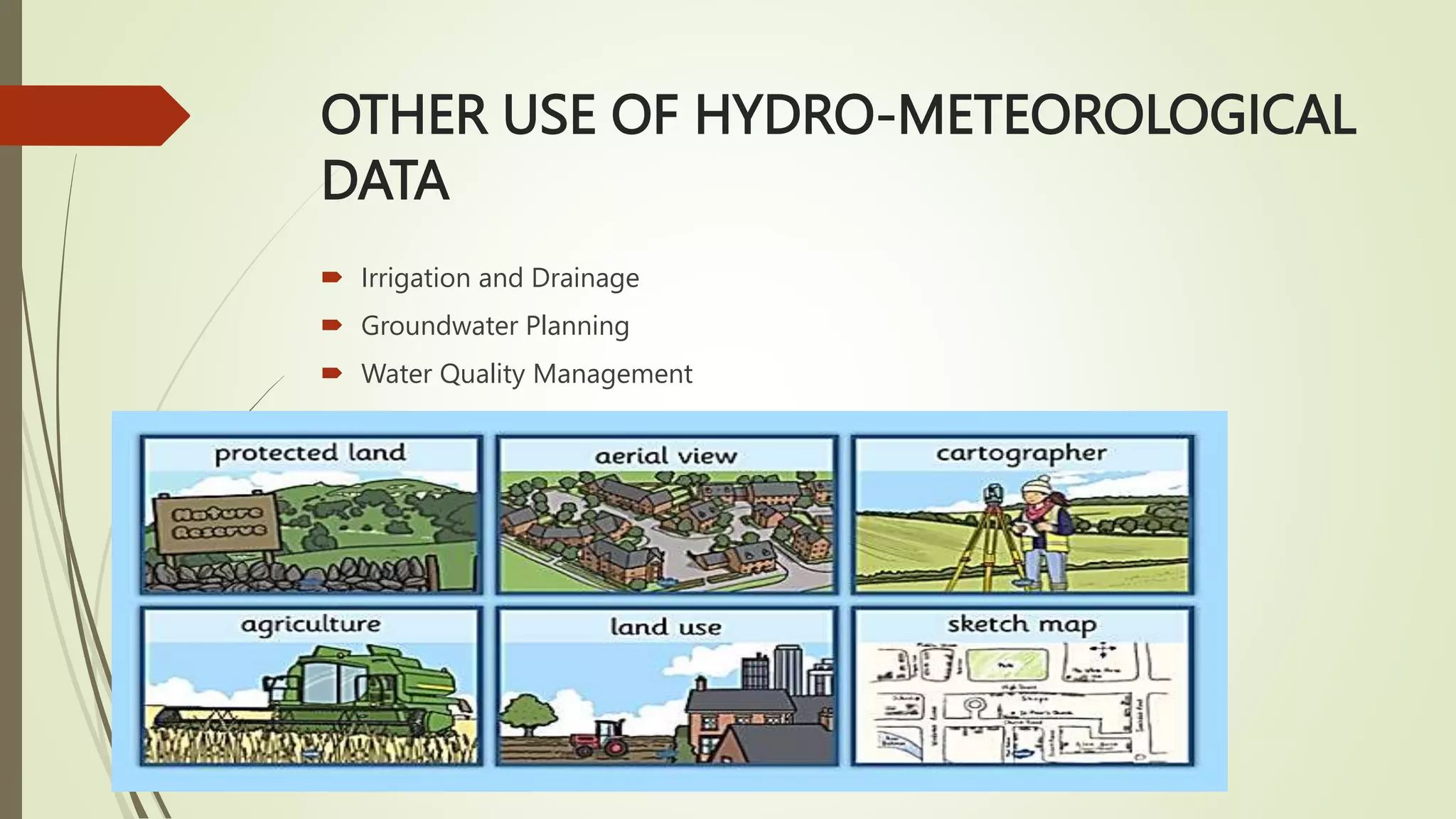


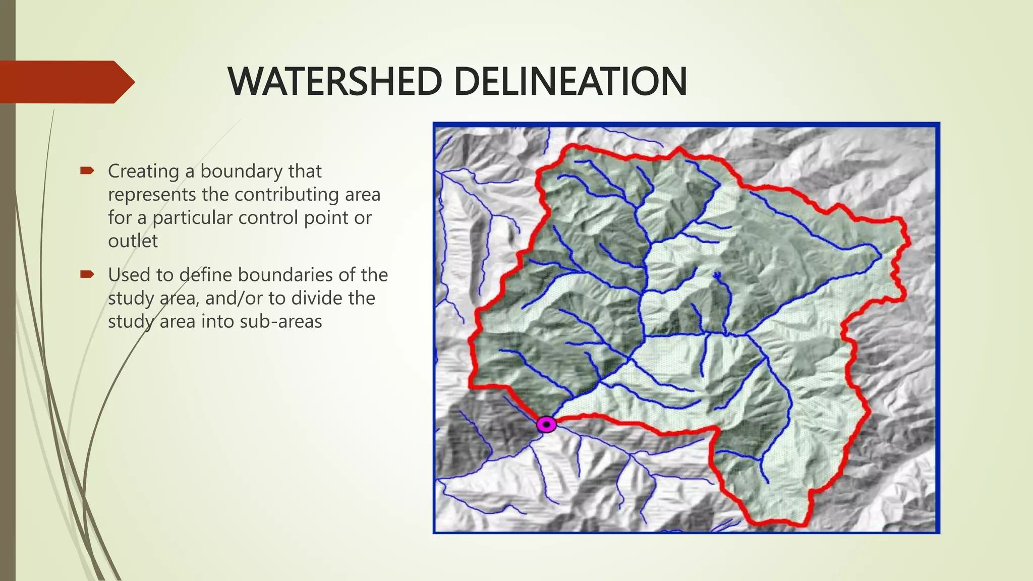
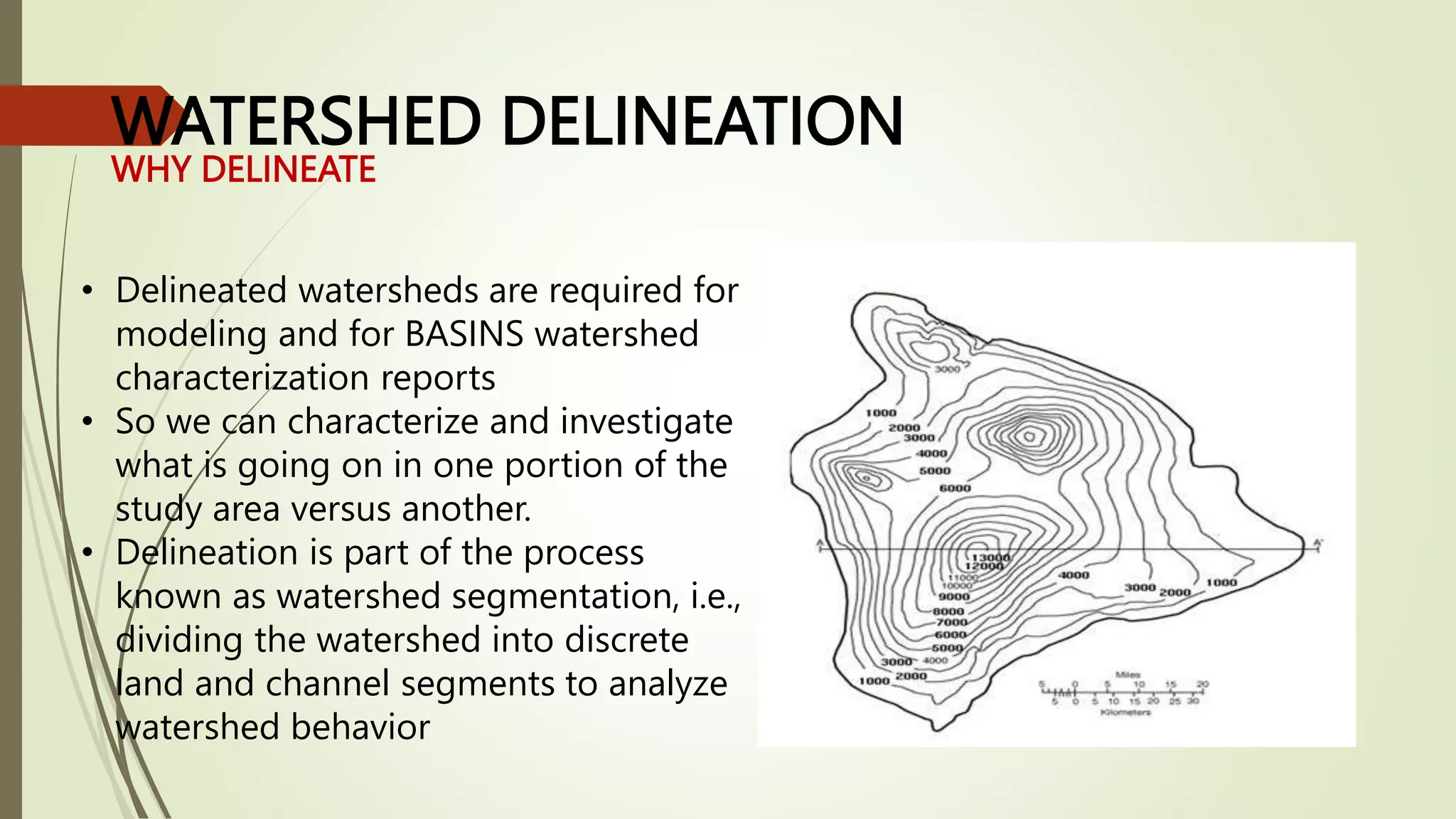


The document provides an overview of watershed planning and the importance of hydrological data in watershed planning. It discusses key concepts such as watershed delineation, topographic maps, and contour lines. The document also outlines the steps in the watershed planning process and describes the types of hydrological, meteorological, physiographical, and land use data required for effective watershed planning.