Download as PDF, PPTX
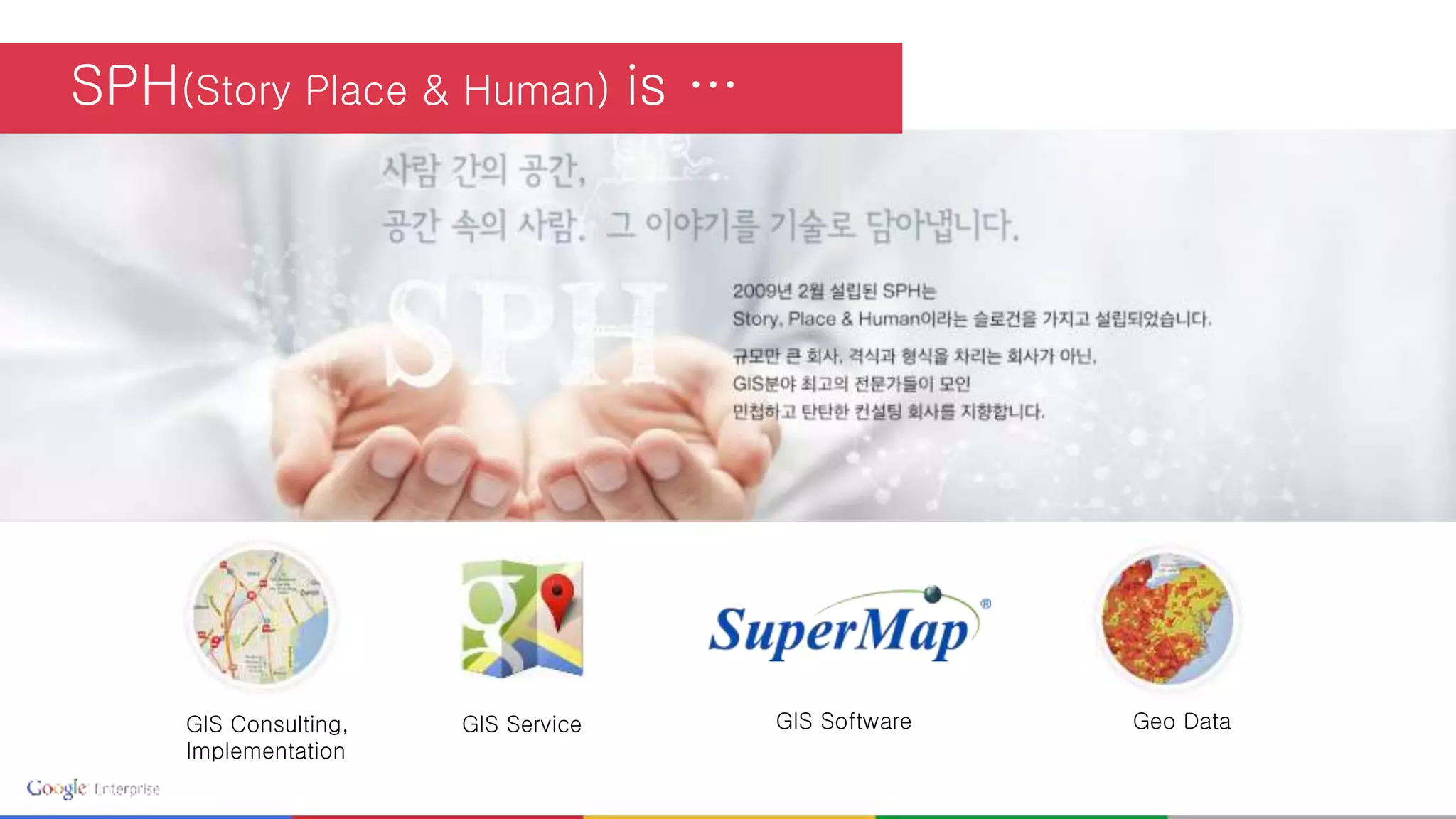
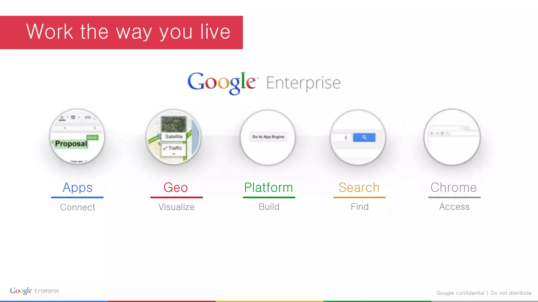
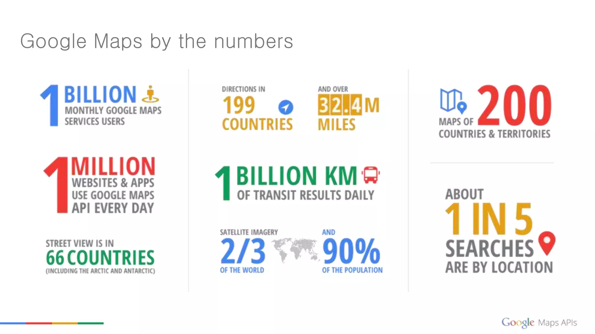

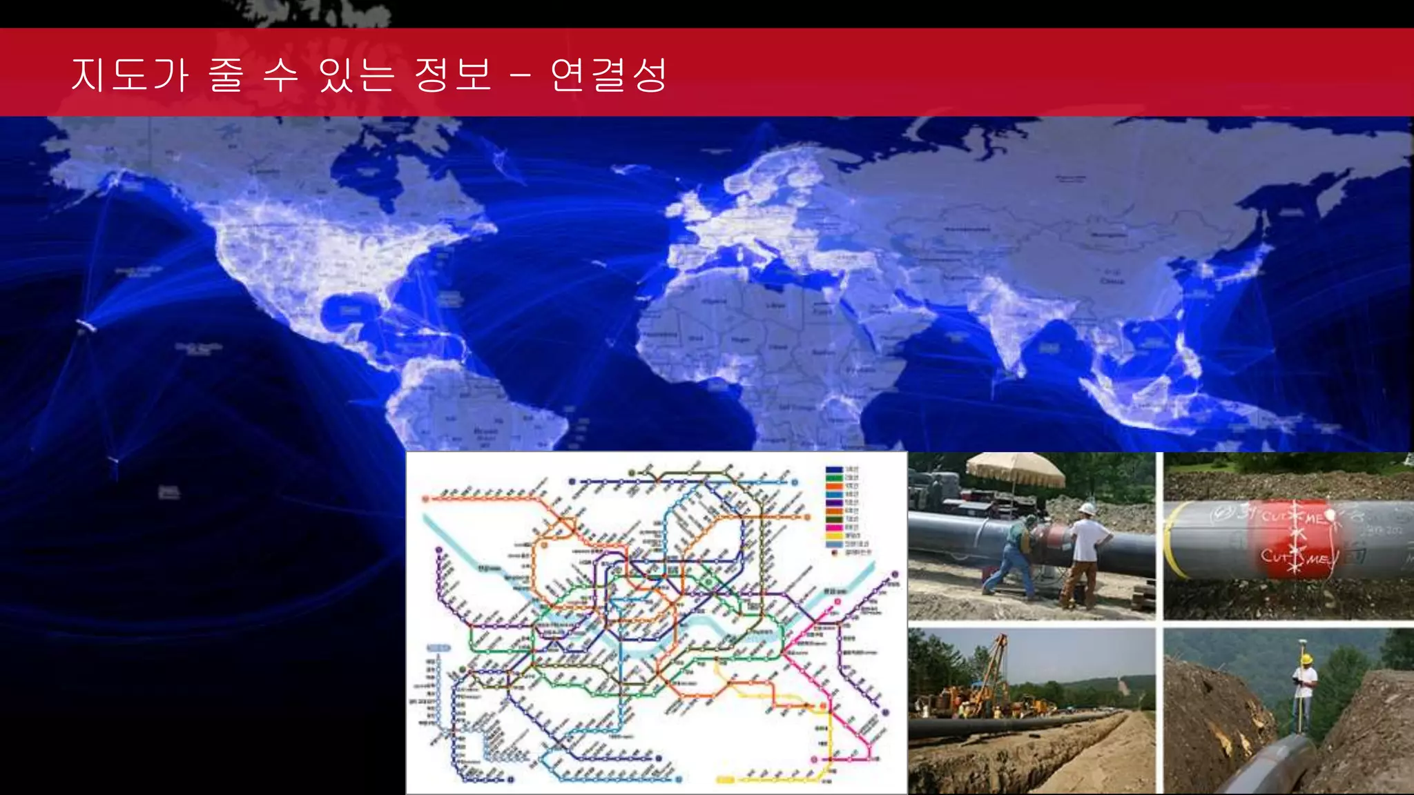

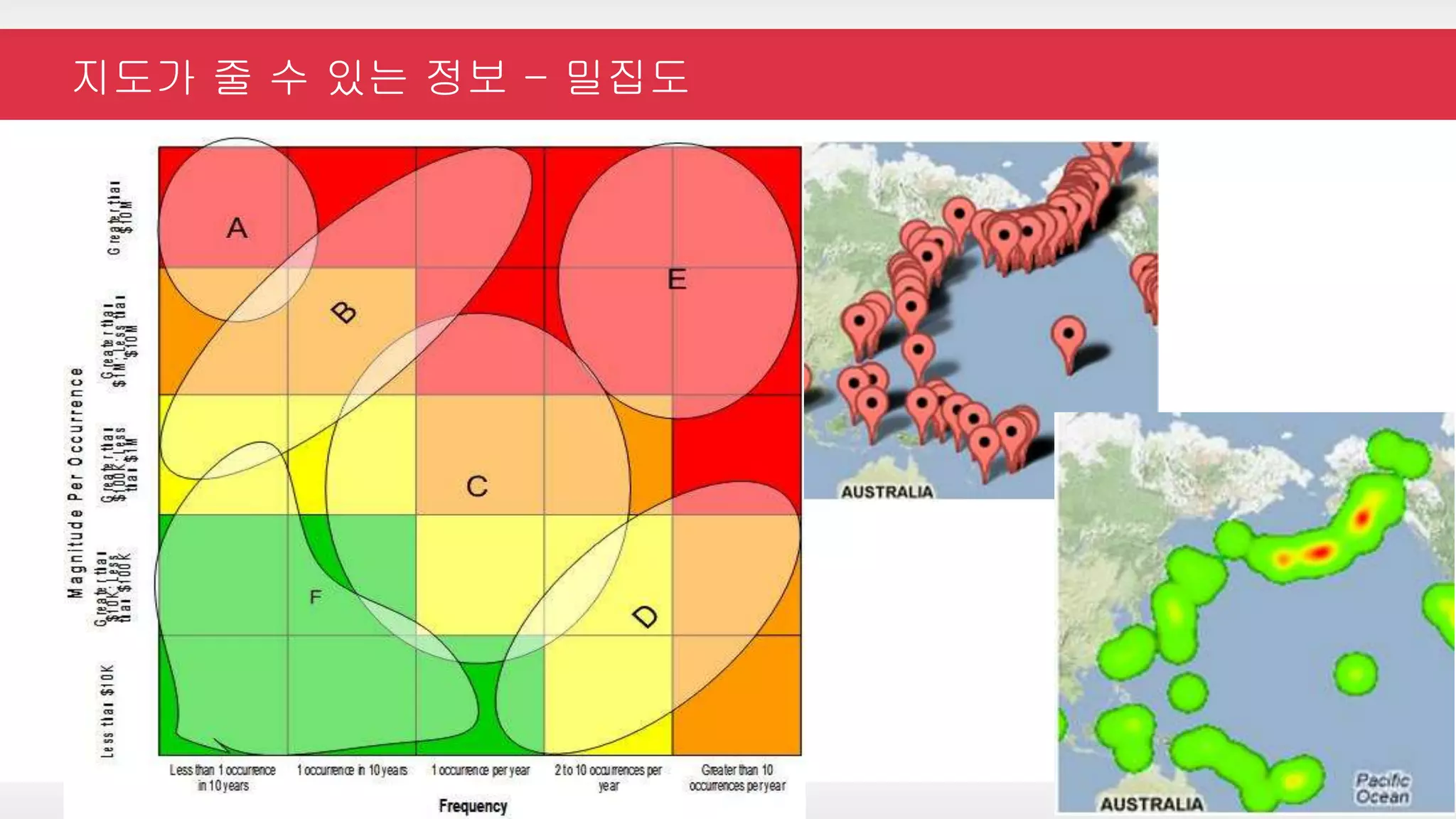
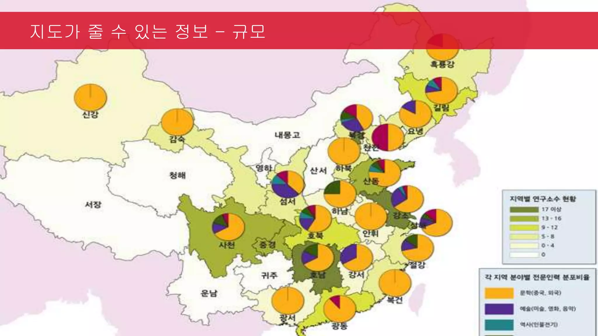
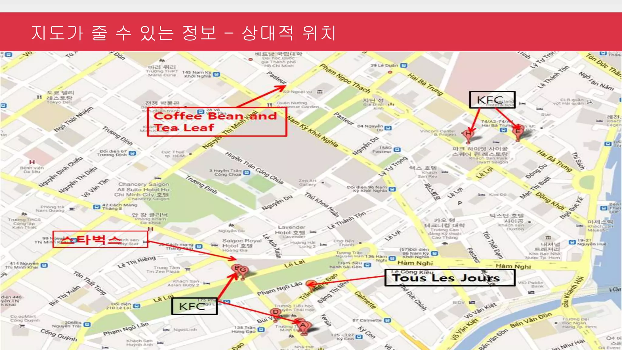
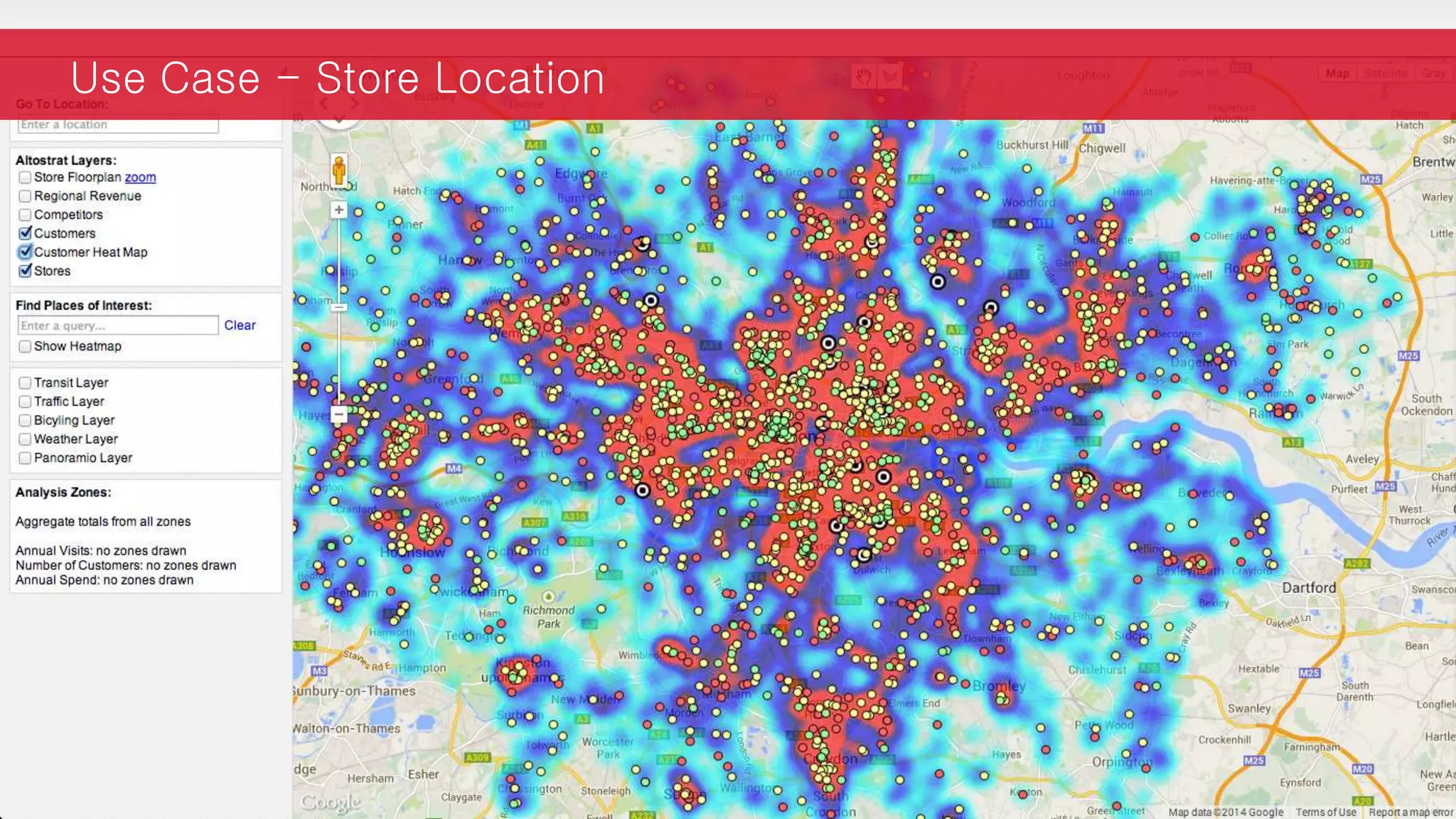
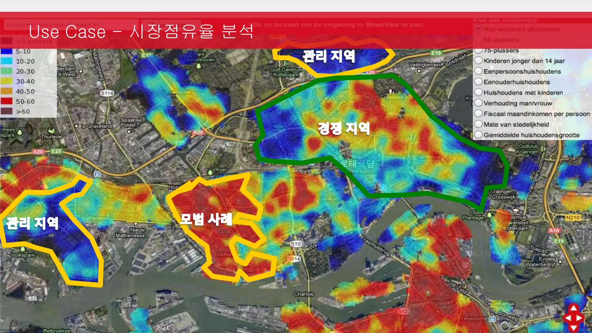
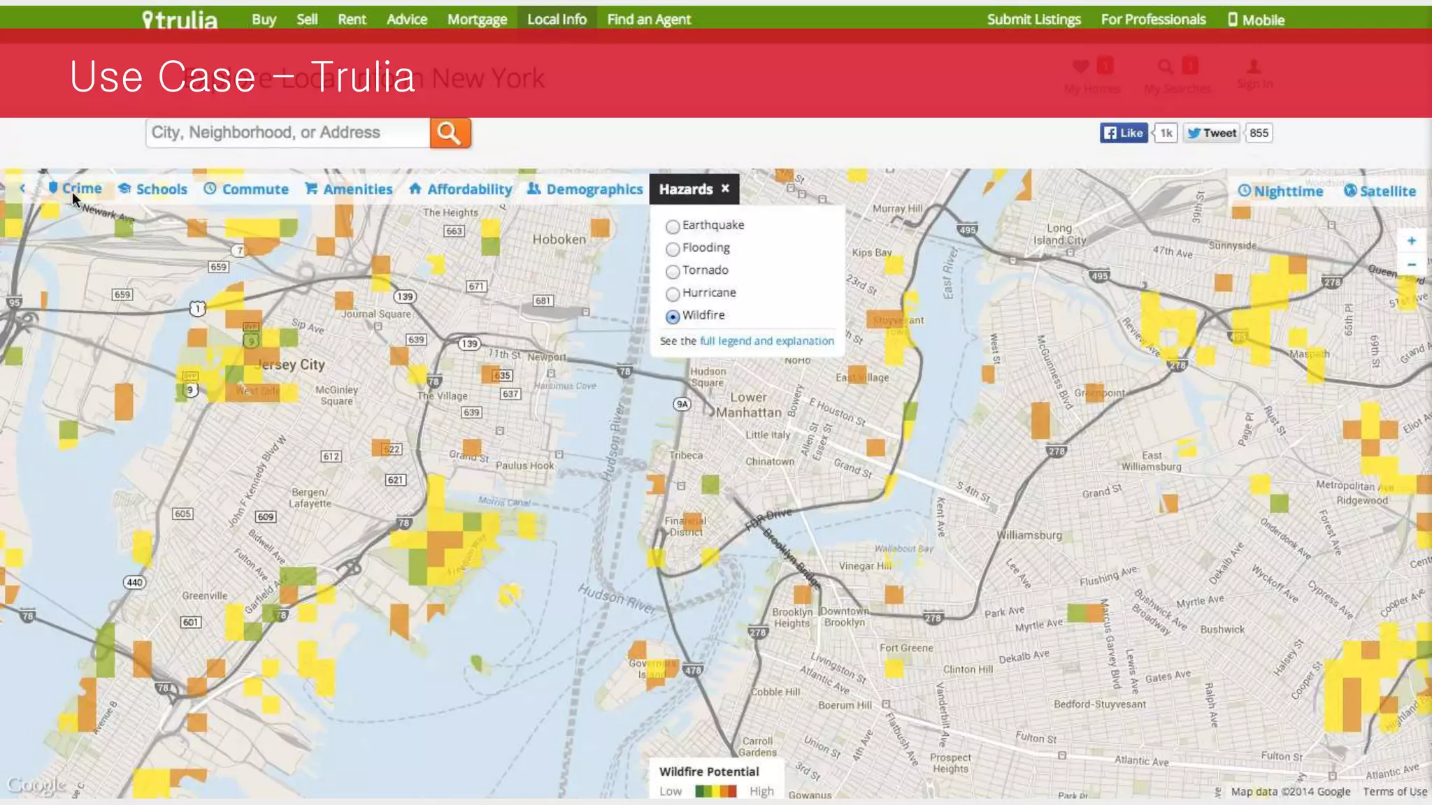
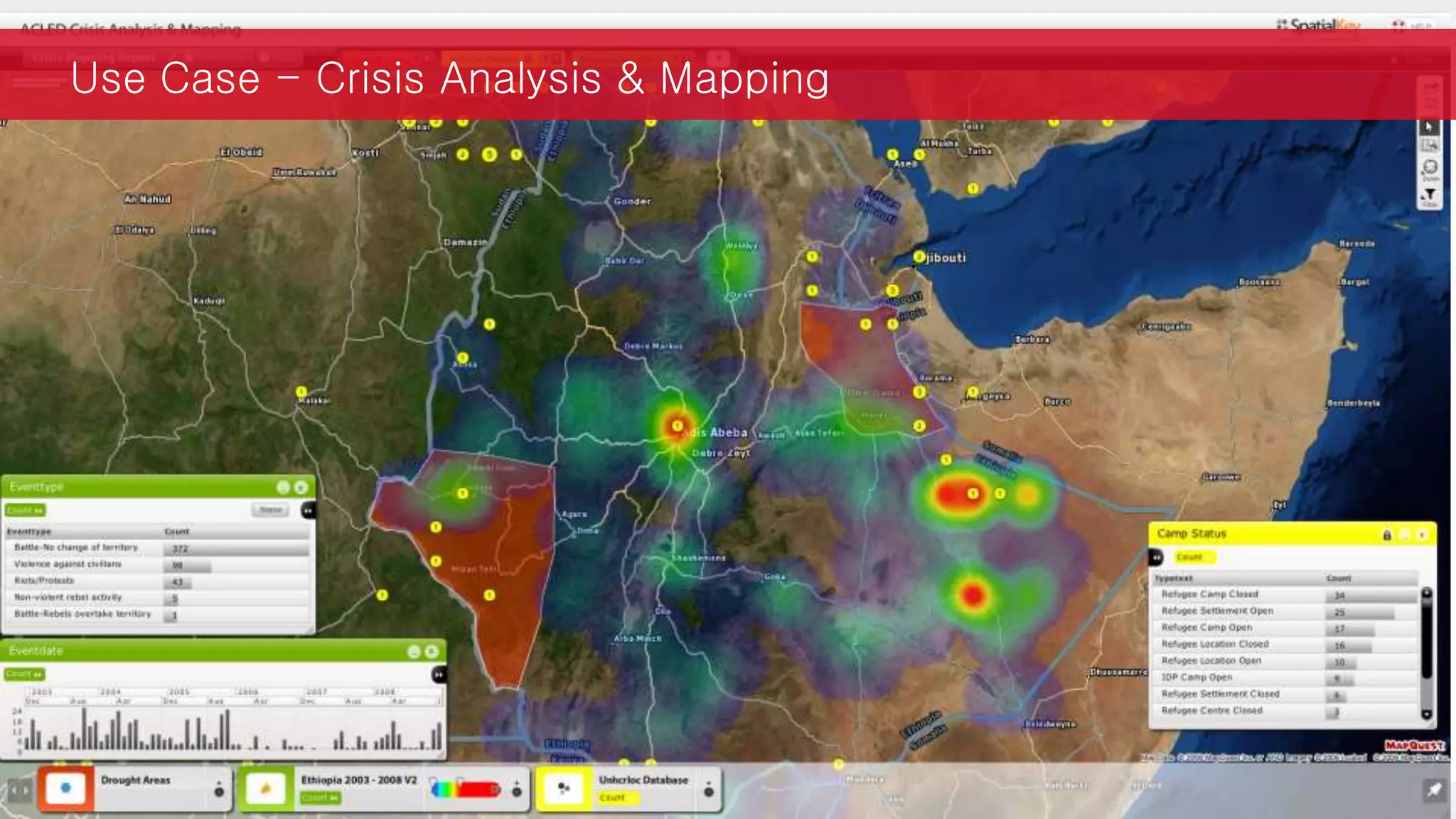
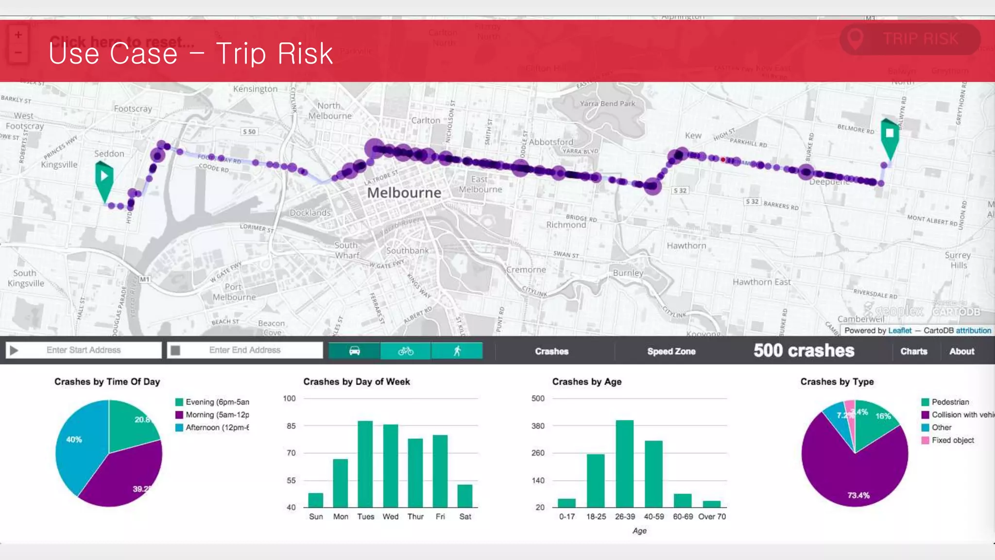

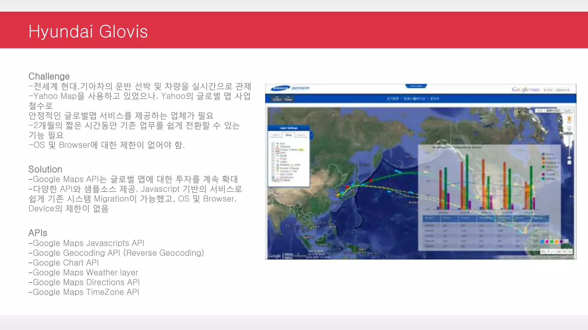
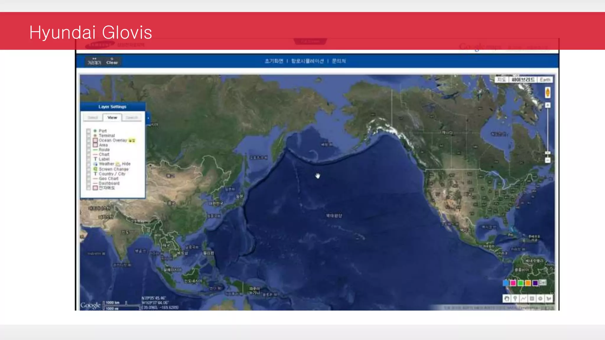
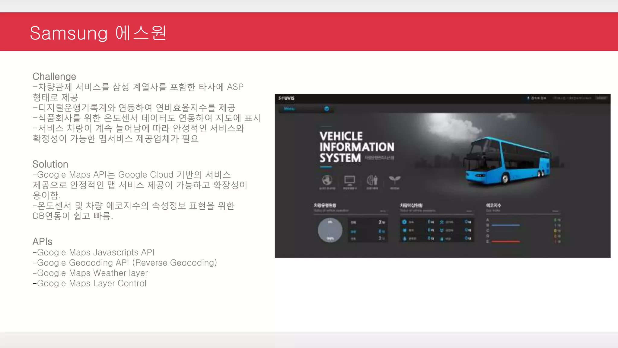
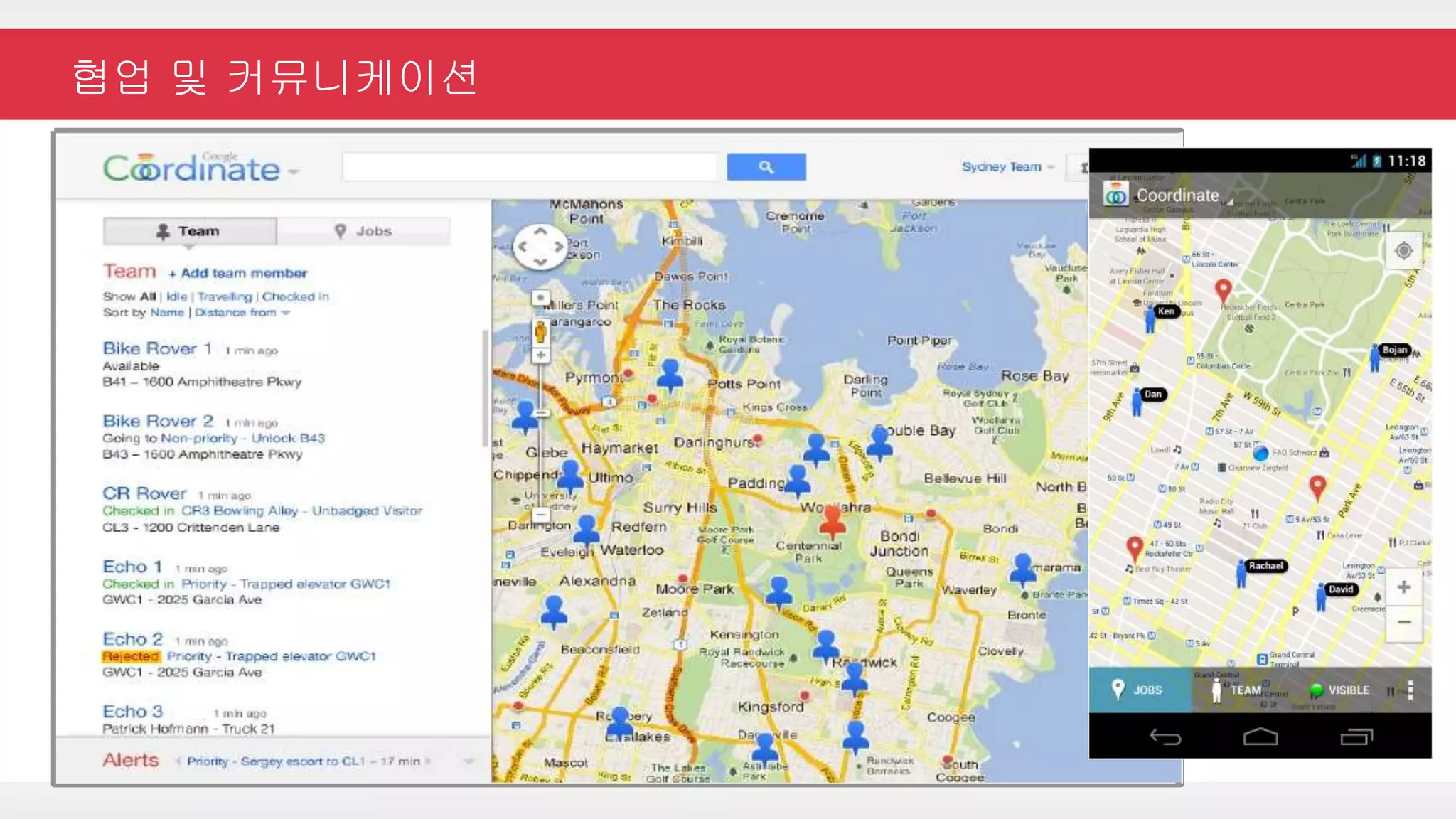
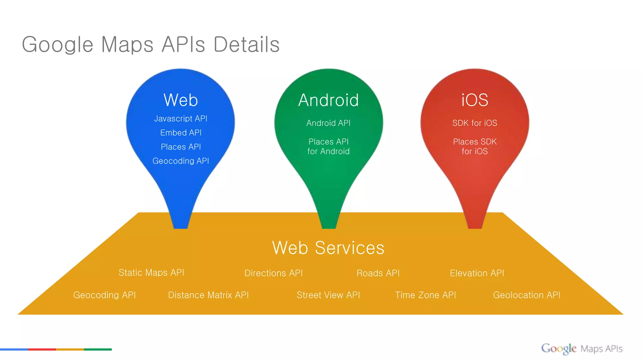
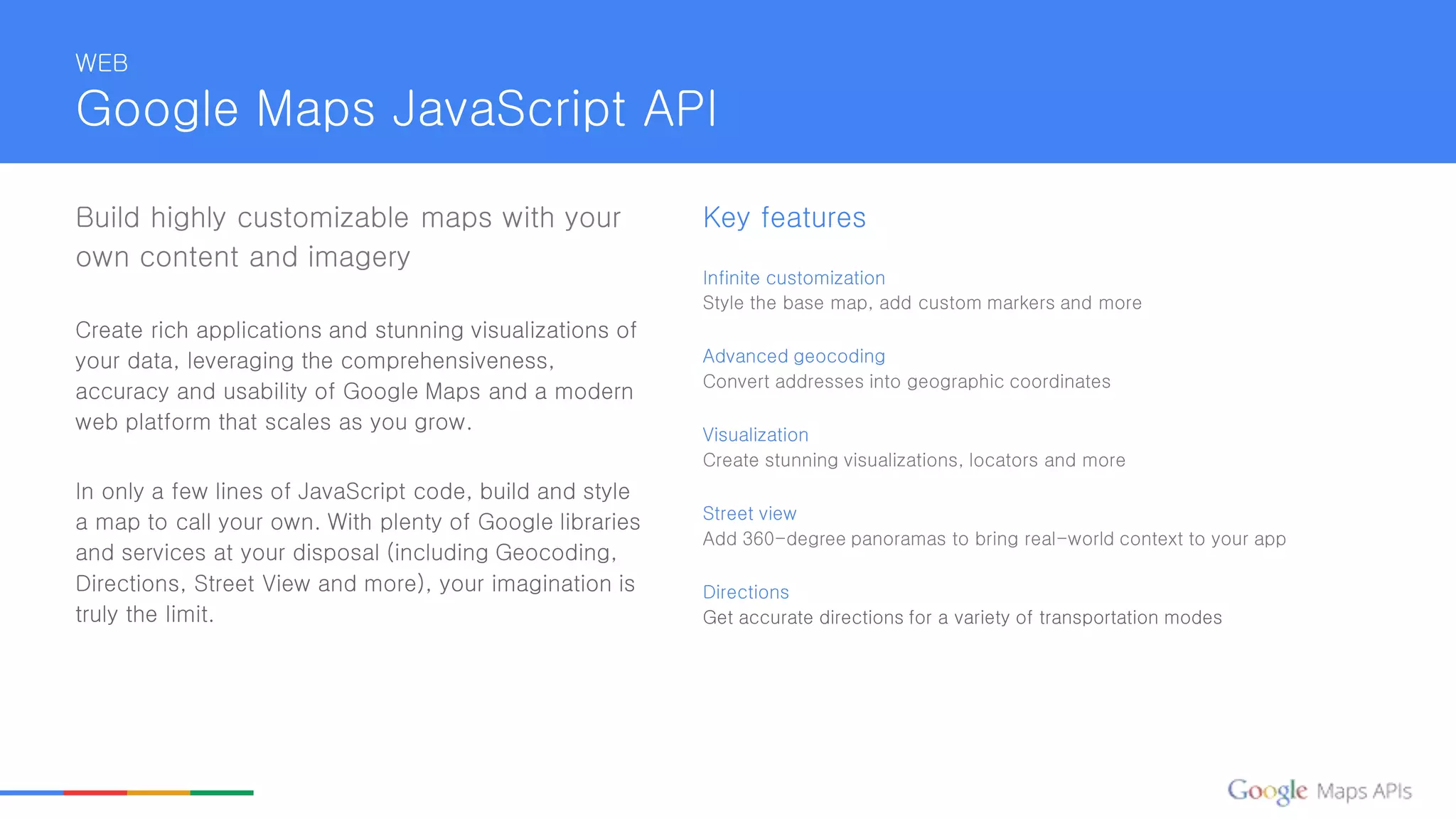


This document provides an overview of Google Maps APIs and how they can be used for various purposes such as visualizing data on maps, finding places, getting directions, and more. It describes the Google Maps JavaScript API, Embed API, Places API, Geocoding API, Android API, and various web services APIs. It also includes several use case examples and case studies.