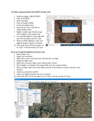
This document provides instructions for land use mapping, editing spatial data, conducting spatial analysis, creating digital elevation models (DEMs) from Google Earth, and delineating watersheds in QGIS. Key steps include installing plugins, digitizing land use from satellite imagery, editing features by reshaping, deleting, splitting and merging them, running topology checks, clipping raster data, creating hillshades and slope maps, converting rasters to vectors, and delineating watersheds by filling sinks, assigning stream orders, creating outlets, and running upslope analysis. Watersheds can be delineated from topographic maps, GPS points, or DEMs.