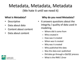
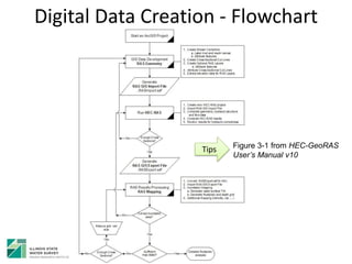
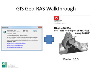
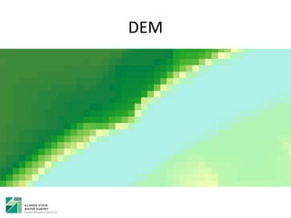
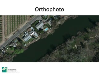
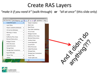
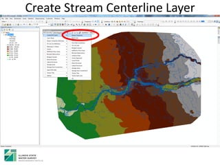
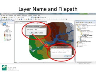
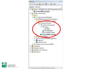
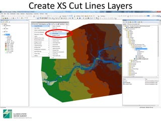
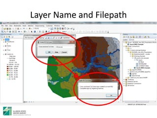
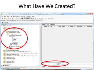
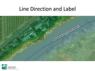
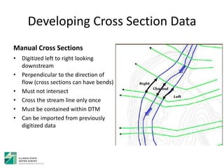
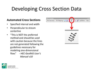
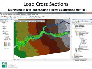
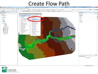
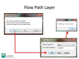
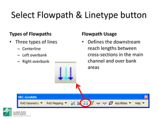
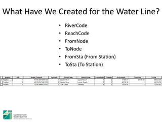
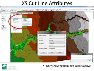
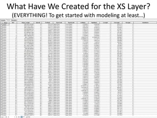
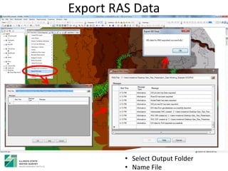
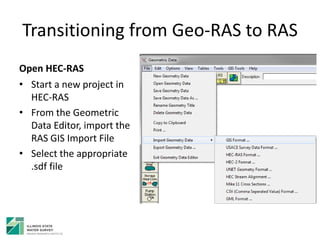
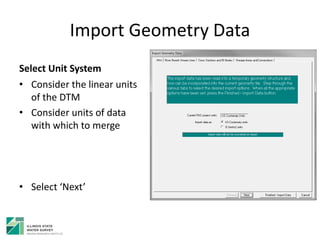
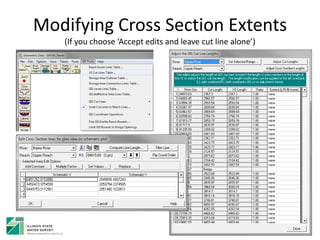
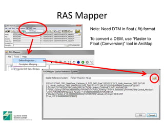
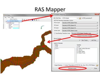
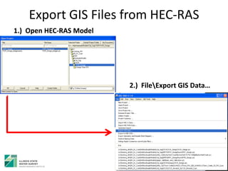
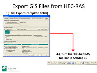
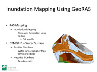
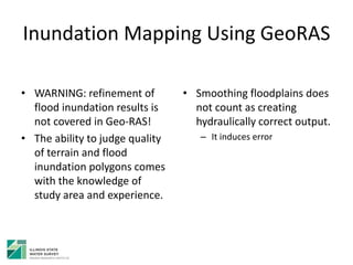
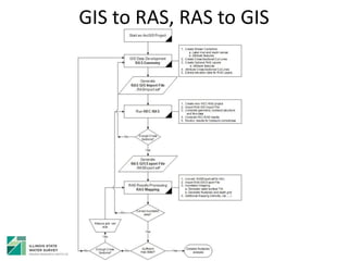
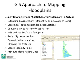
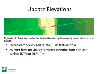
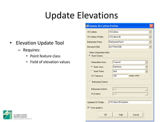
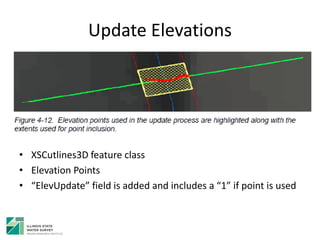
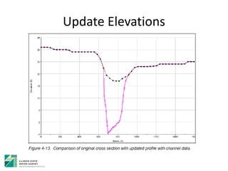
This document provides an overview of a workshop on using HEC-GeoRAS to link GIS and hydraulic modeling software. The workshop is aimed at engineers, GIS professionals, and planners. It introduces HEC-GeoRAS and HEC-RAS software, the process of generating spatial data in HEC-GeoRAS from GIS layers, importing it into HEC-RAS, and exporting modeling results for mapping floodplains in GIS. Key topics covered include developing stream centerlines, cross sections, flow paths, and other data layers in GIS, validating data, running hydraulic models in HEC-RAS, and mapping inundation polygons with HEC-GeoRAS.


![Hec ras 4.1-applications_guide[1]](https://cdn.slidesharecdn.com/ss_thumbnails/hec-ras4-140906052124-phpapp01-thumbnail.jpg?width=640&height=640&fit=bounds)


