Download as PDF, PPTX
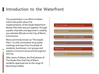

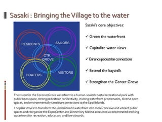
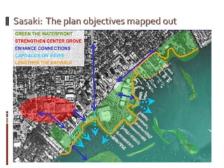
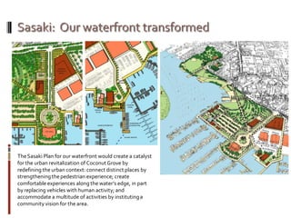
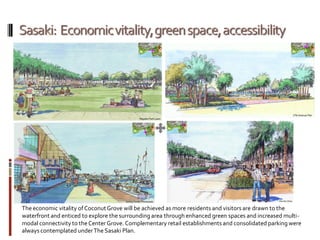

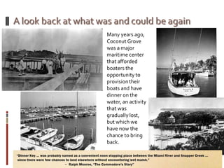
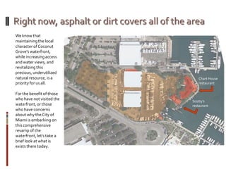
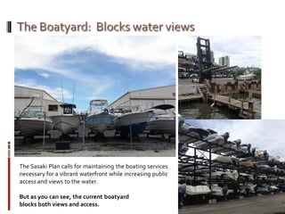
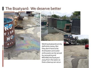
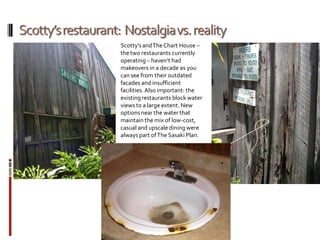
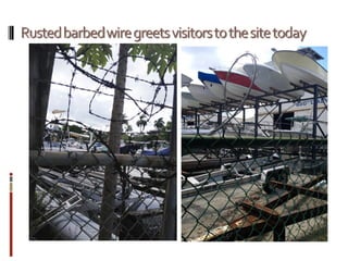
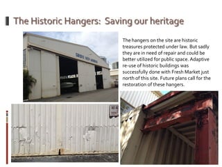

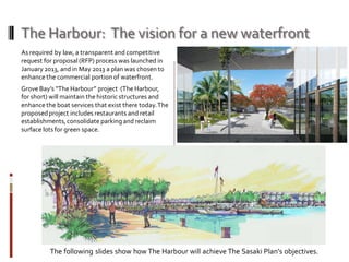
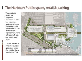
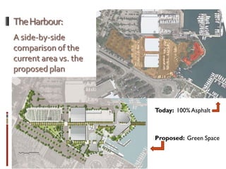
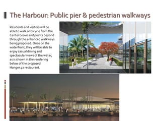
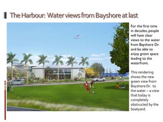
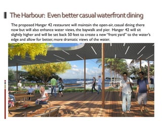


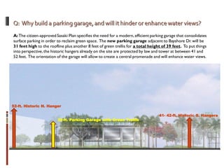
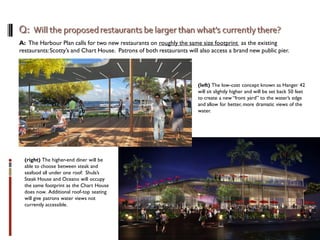
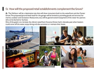
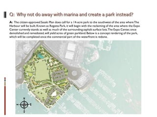


The document outlines the implementation of the citizen-approved Sasaki Waterfront Master Plan for Coconut Grove and Miami, focusing on revitalizing the underutilized waterfront into vibrant public spaces and enhancing pedestrian connectivity. The plan aims to balance the preservation of local character with increased access to water views, and involves significant economic development initiatives such as new restaurants, green spaces, and improved boating services. Key aspects also include the creation of Regatta Park and the necessity of public support for the proposed changes to avoid the deterioration of existing facilities.


