Download as PDF, PPTX

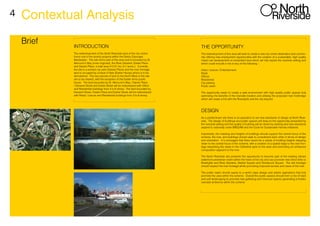
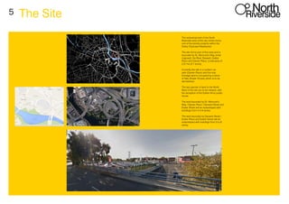
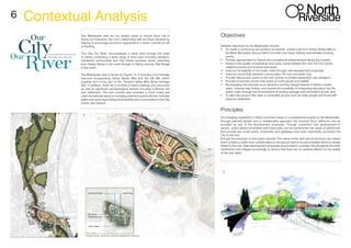
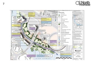
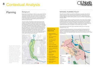
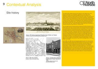
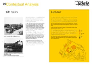
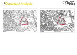
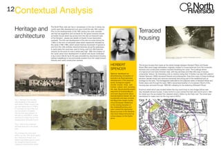
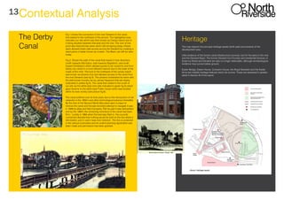
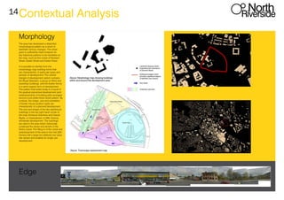
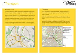
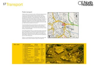

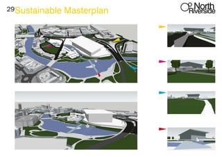
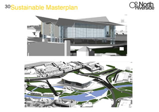

This document provides a regeneration masterplan for the redevelopment of the North Riverside area in Derby, England. It includes: 1) An overview of the site and surrounding area, including a brief history of development. 2) Details on planning policy and guidance for the redevelopment, including objectives to reduce flood risk, encourage investment, and enhance connectivity to the river. 3) Proposed plans and designs for the redevelopment, including creating new public spaces, improving transport links, and developing a mix of residential, commercial, and leisure spaces that celebrate the riverfront location.


