Download to read offline
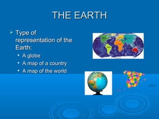
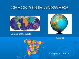
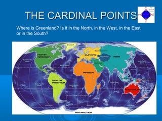
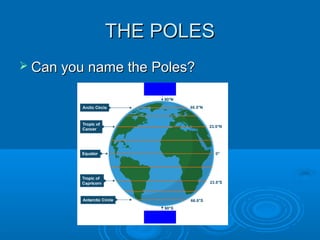
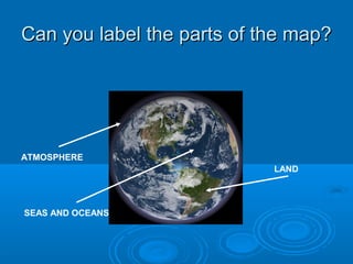
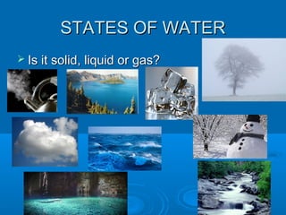
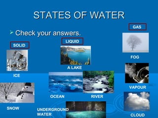
This document discusses different types of representations of the Earth including globes, maps of countries, and maps of the world. It also covers cardinal directions and asks where Greenland is located. The poles of the Earth are mentioned. The document discusses labeling parts of a map, including the atmosphere, seas and oceans, and land. It also covers states of water as solid, liquid, or gas and provides examples like ice, snow, lakes, oceans, rivers, underground water, fog, vapor, and clouds.


