Download to read offline
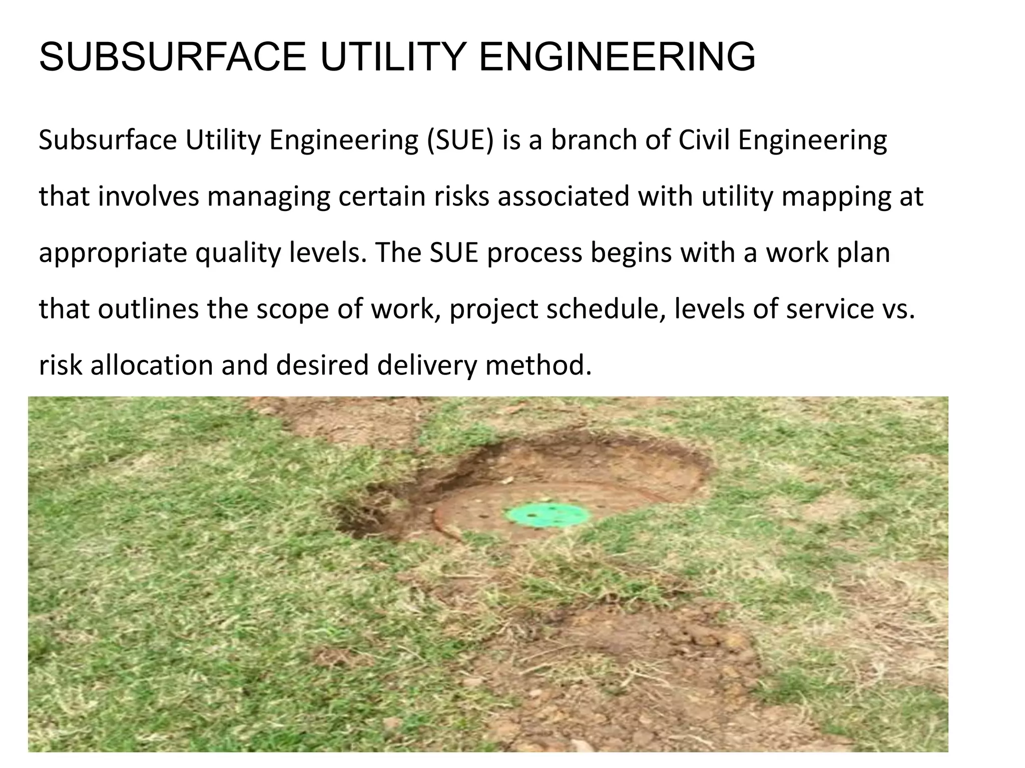

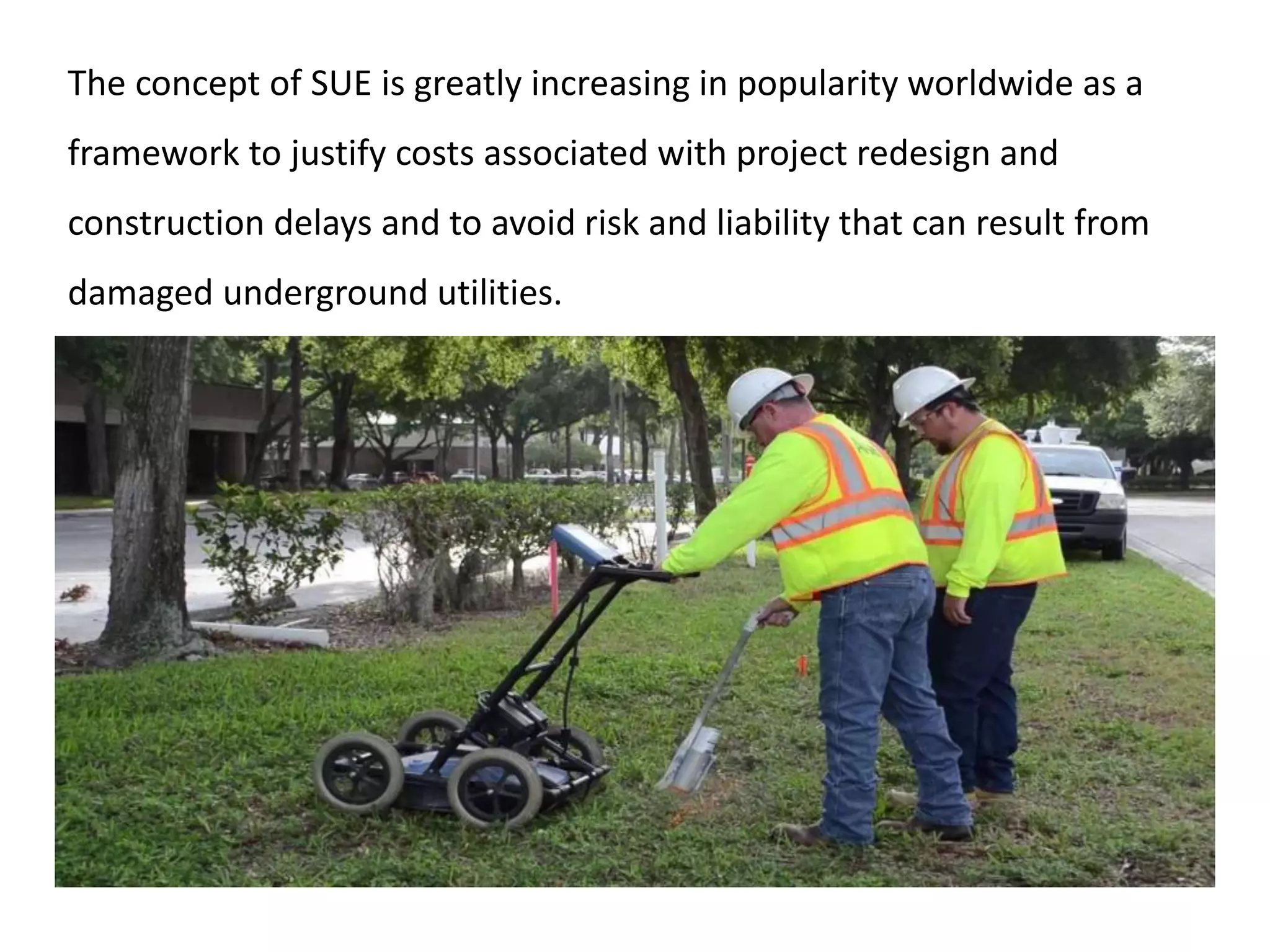


Subsurface Utility Engineering (SUE) is a civil engineering discipline focused on managing risks related to utility mapping through a structured work plan and the use of various geophysical and excavation techniques. SUE offers significant benefits, including reduced utility conflicts, lower project costs, and minimized disruptions during construction, enhancing overall project efficiency and safety. Advanced Infrastructure Mapping, LLC is equipped and qualified to provide SUE services, ensuring timely and professional execution of utility detection tasks.


