Download as PDF, PPTX
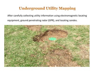


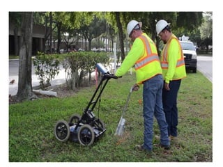


The document outlines the process and importance of utility mapping using advanced technologies like electromagnetic locating equipment and ground penetrating radar. It emphasizes the risks associated with unmarked or inaccurately mapped utilities, including financial loss and safety hazards. Advanced Infrastructure Mapping, LLC offers professional services to ensure timely and accurate utility location while adhering to industry standards.