Download to read offline
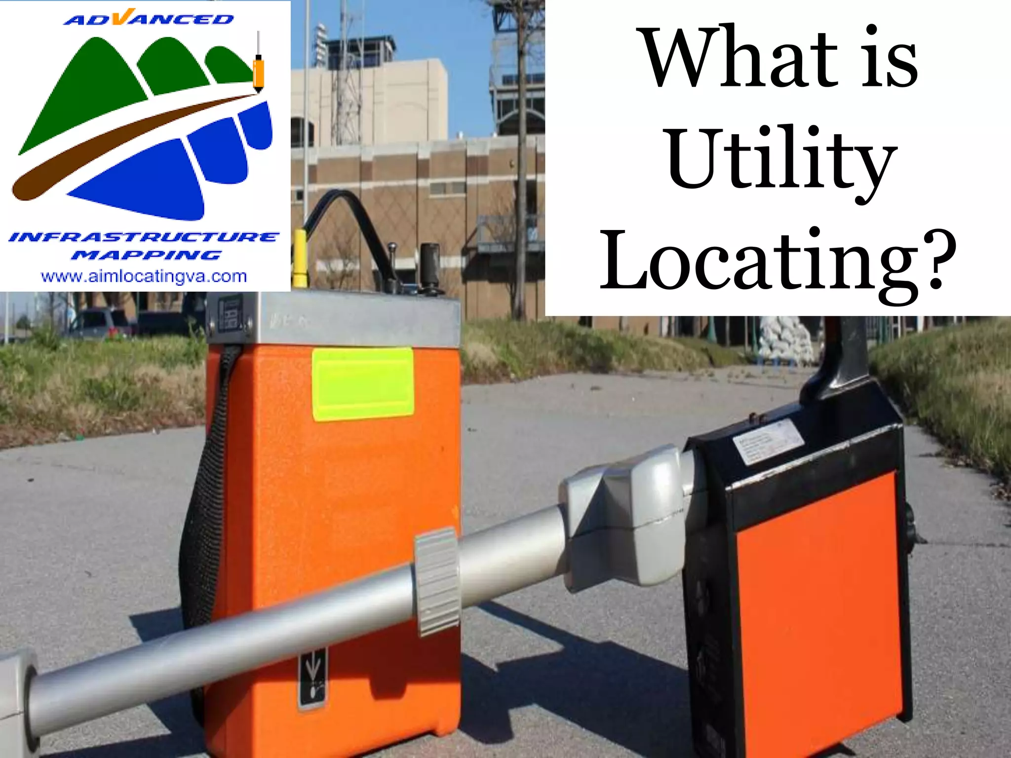

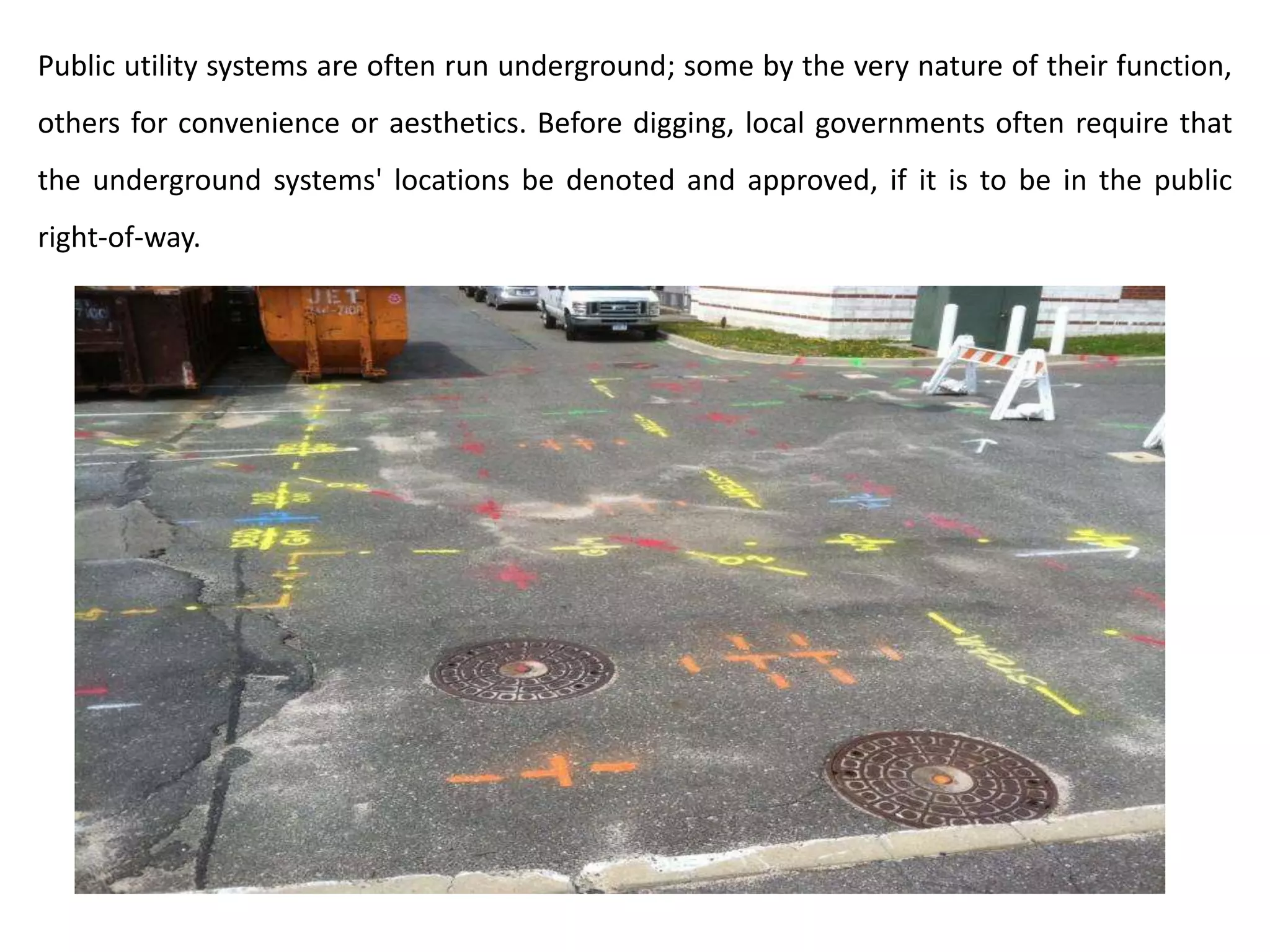
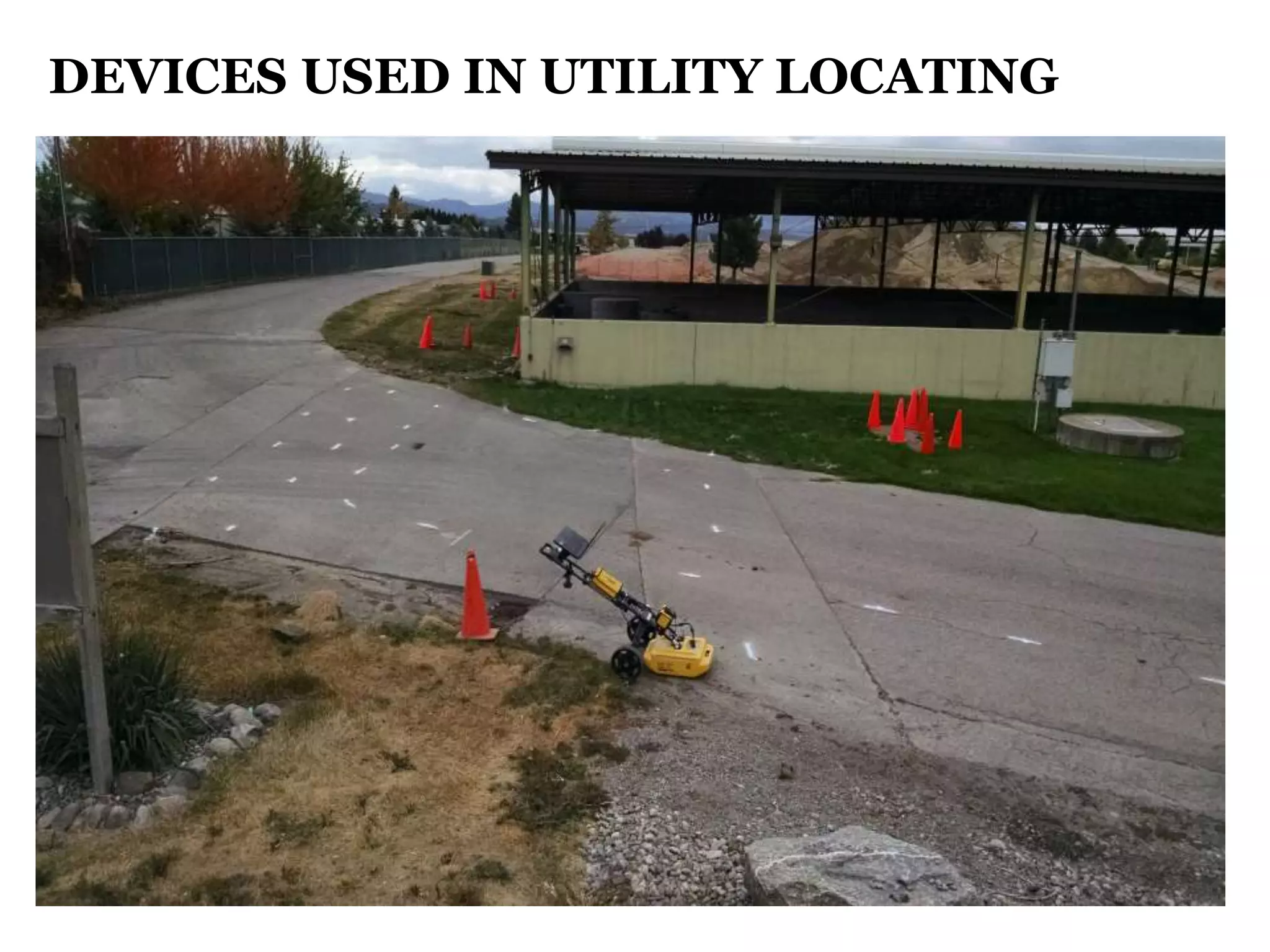


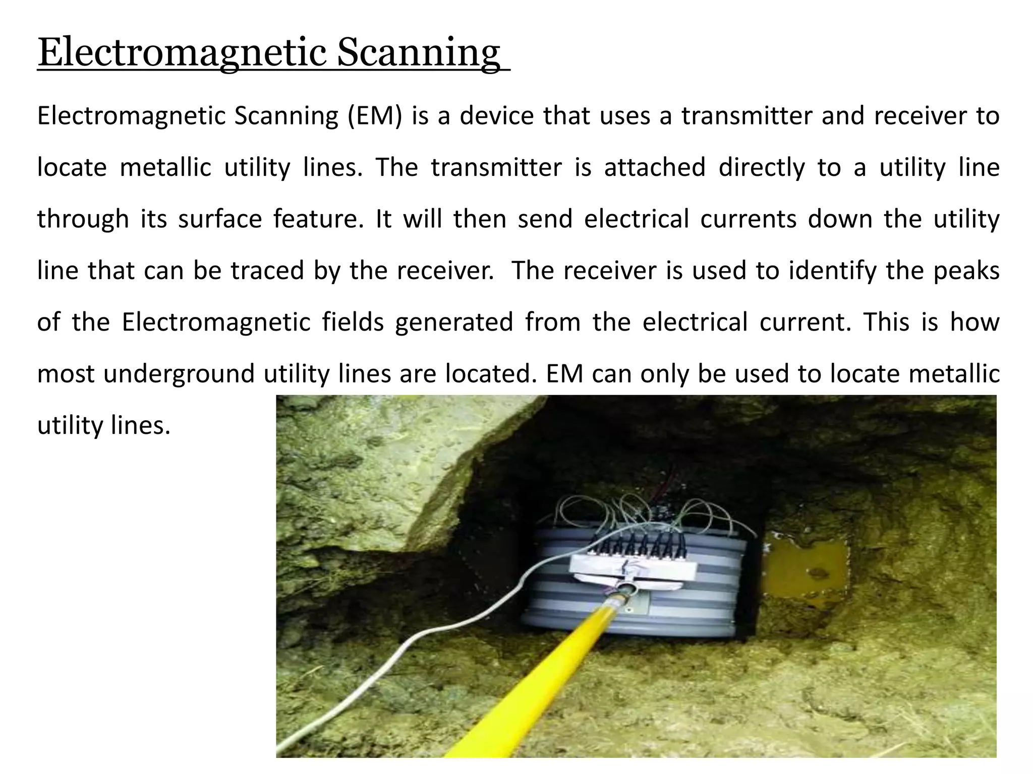


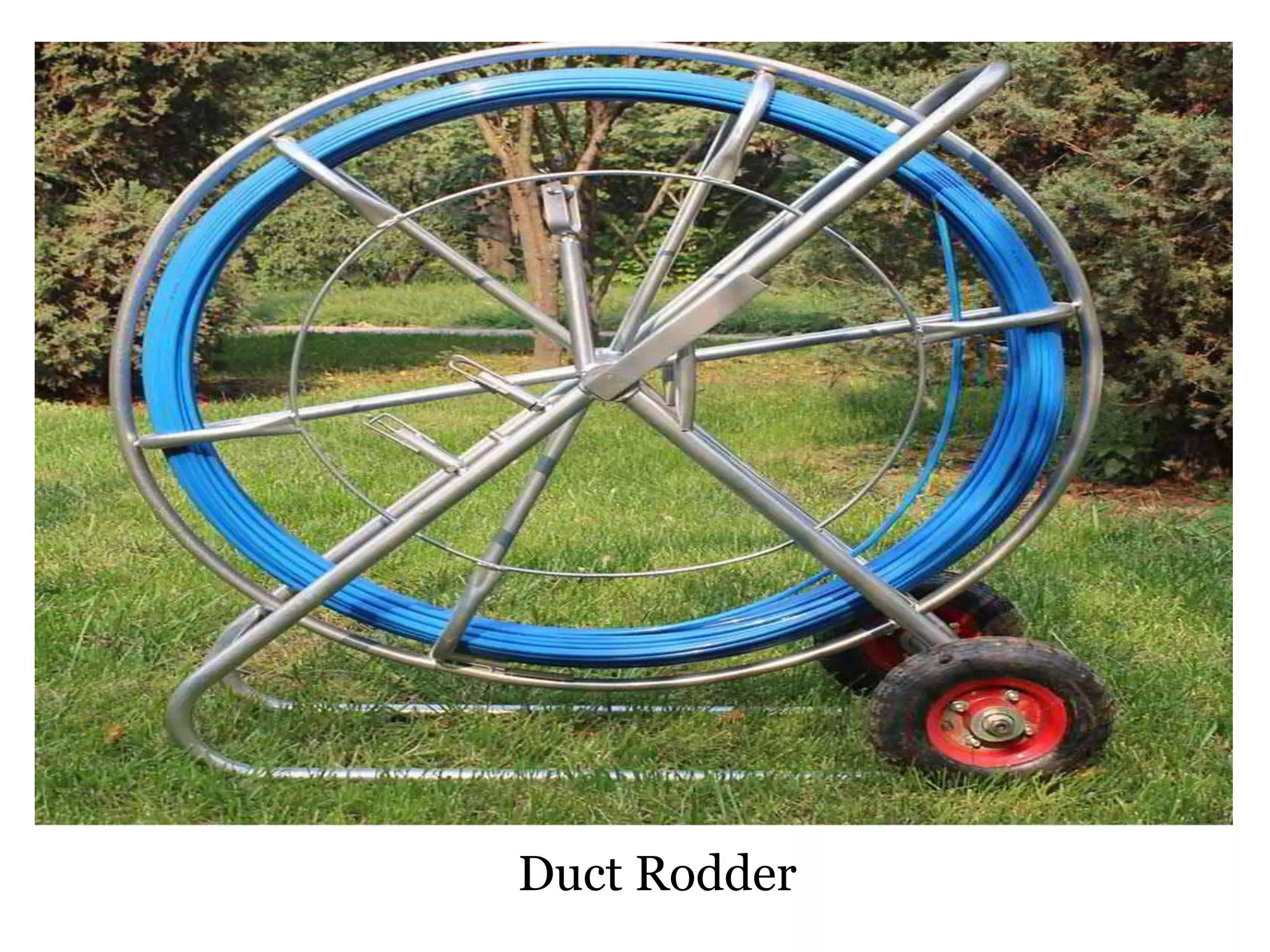


Utility locating is the process of identifying and labeling underground public utility lines such as telecommunications, electricity, gas, water, and sewer lines. It involves using equipment like ground penetrating radar, electromagnetic scanners, duct rodders, and concrete scanners to detect and map the location of underground metallic and non-metallic utilities before excavation work. Accurately locating underground utilities is required by local governments to ensure worker and public safety when digging near utility infrastructure.