Download to read offline

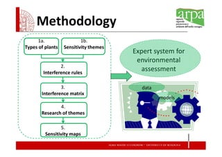
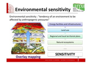
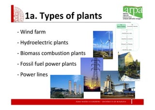
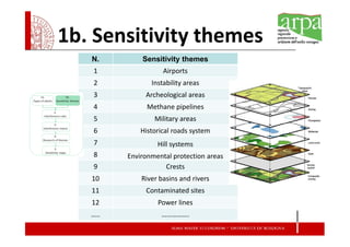
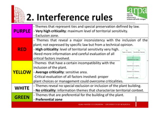
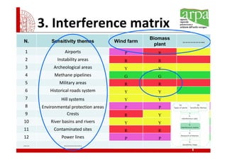
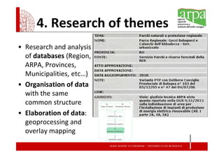
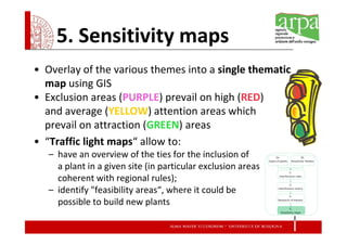
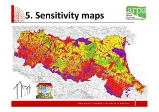
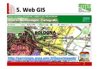

This document presents a methodology for developing an expert system to assess the environmental sensitivity of energy systems and create sensitivity maps for the Emilia-Romagna region of Italy. The methodology involves identifying types of energy plants, sensitivity themes, interference rules between themes and plants, an interference matrix of themes and plant compatibility, researching and organizing sensitivity theme data, and creating overlay maps to identify environmentally sensitive and preferential areas for siting energy plants. The system is intended to support environmental impact assessments and strategic planning.


![Construction technology and services 1[98]](https://cdn.slidesharecdn.com/ss_thumbnails/0568d880-7b91-4673-a270-fd5fc40d1d54-161027210755-thumbnail.jpg?width=640&height=640&fit=bounds)


