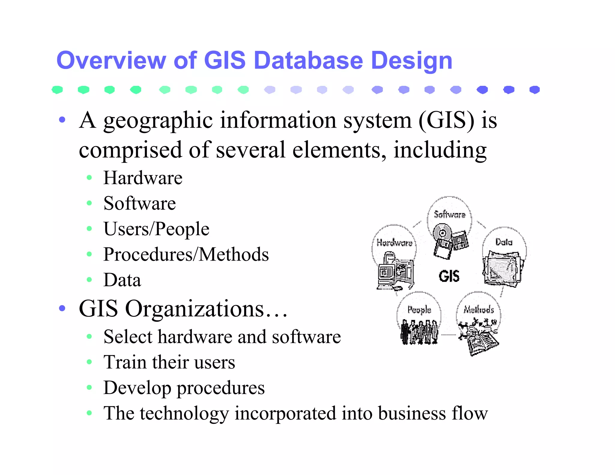
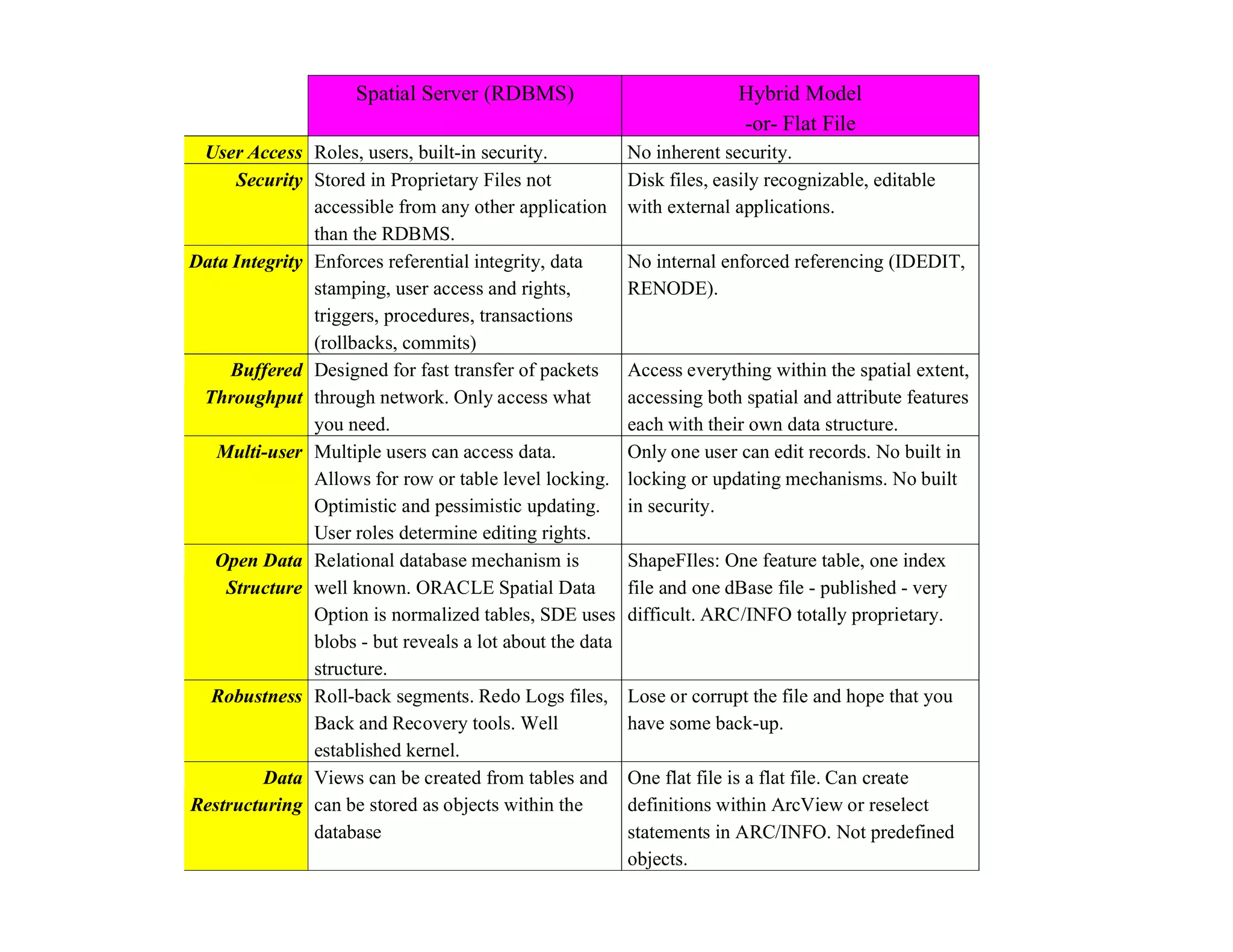
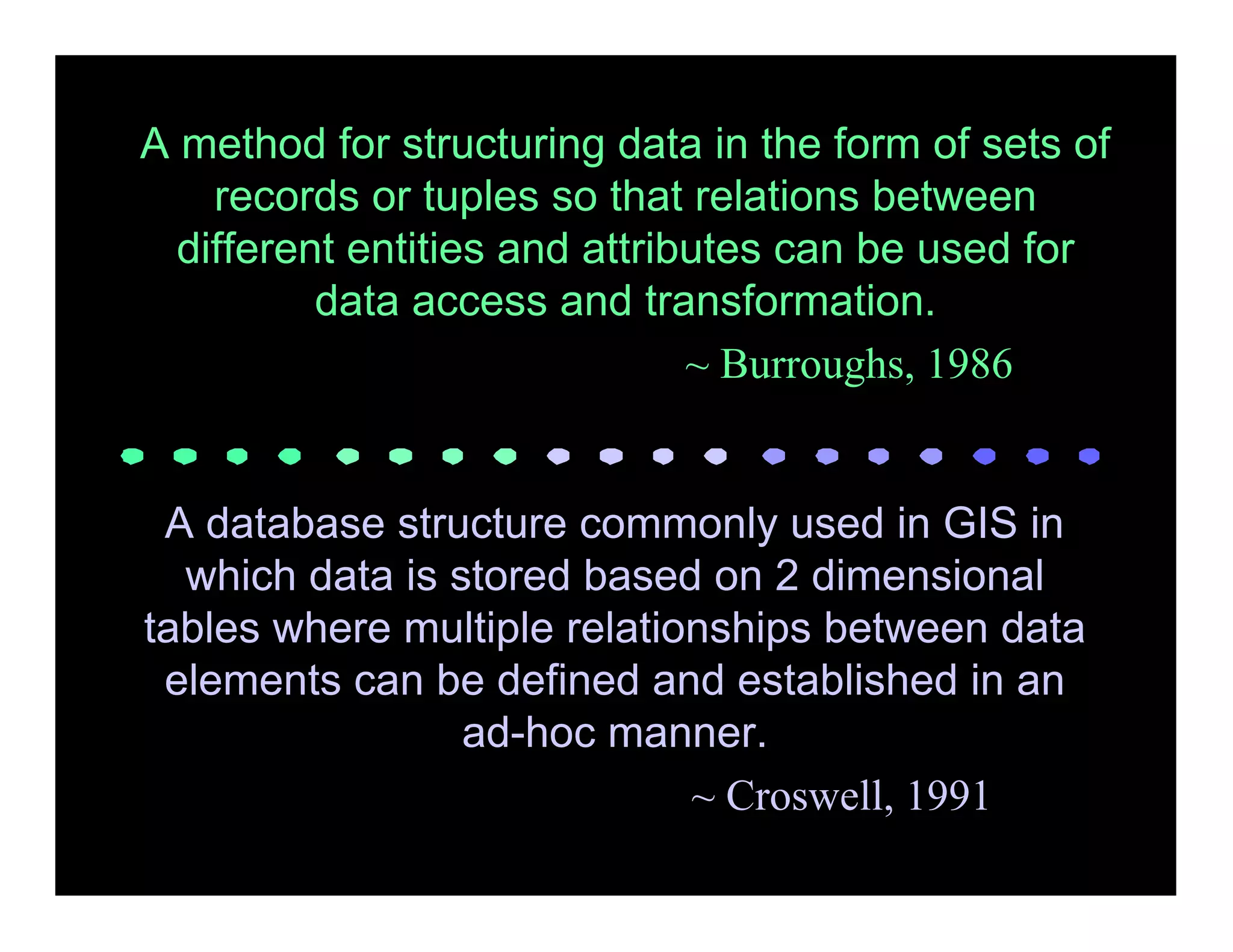
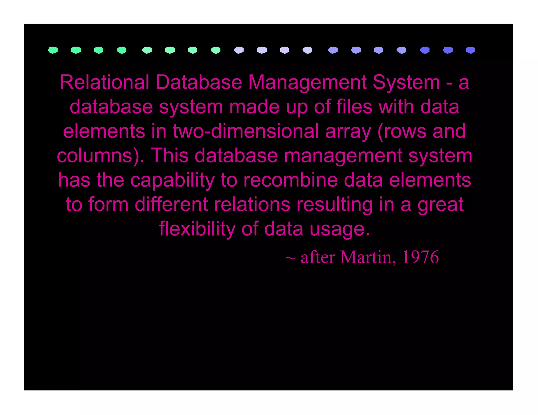
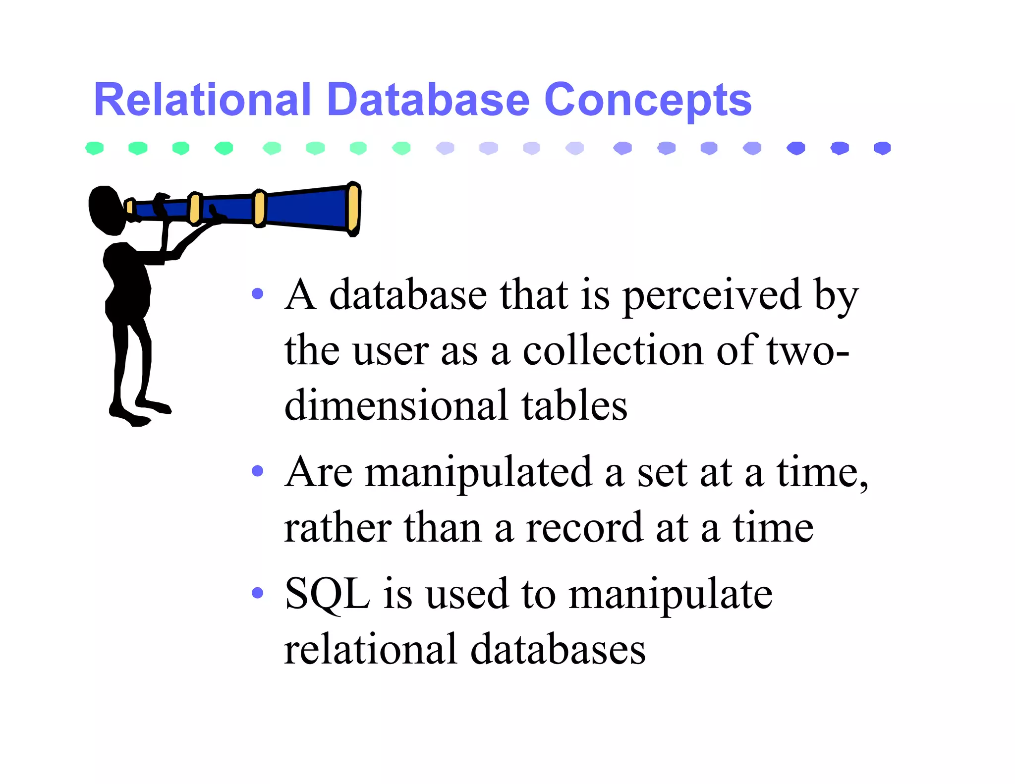
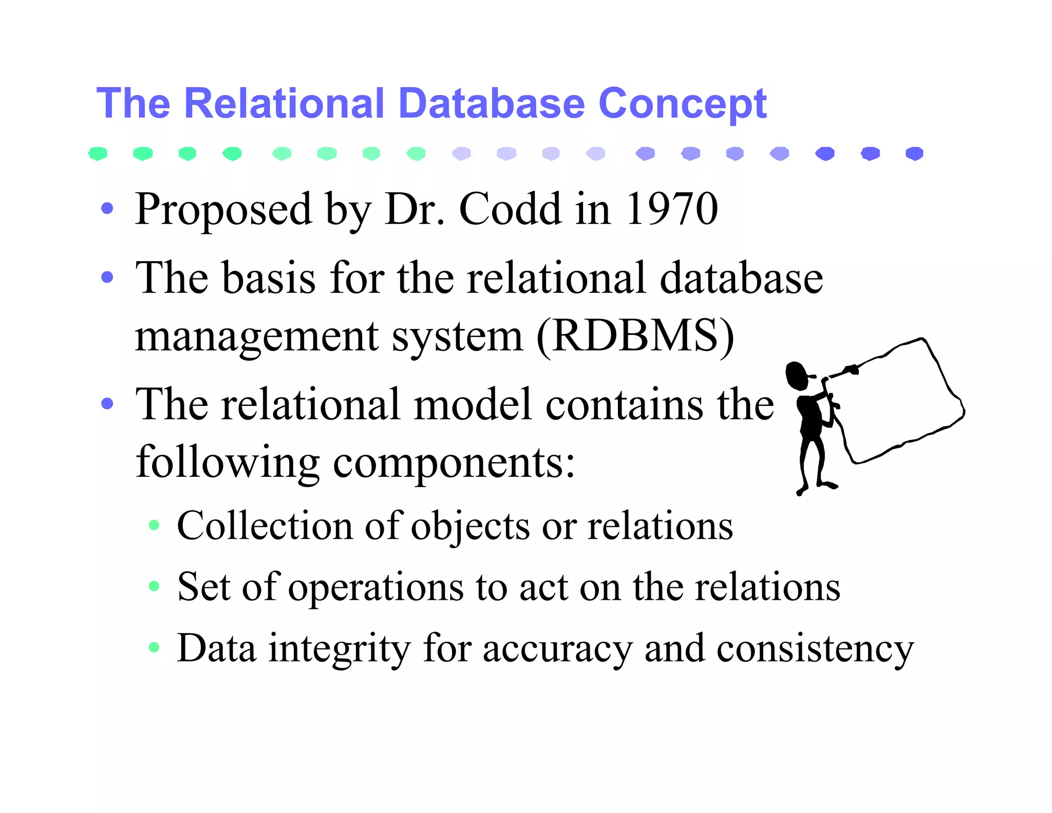
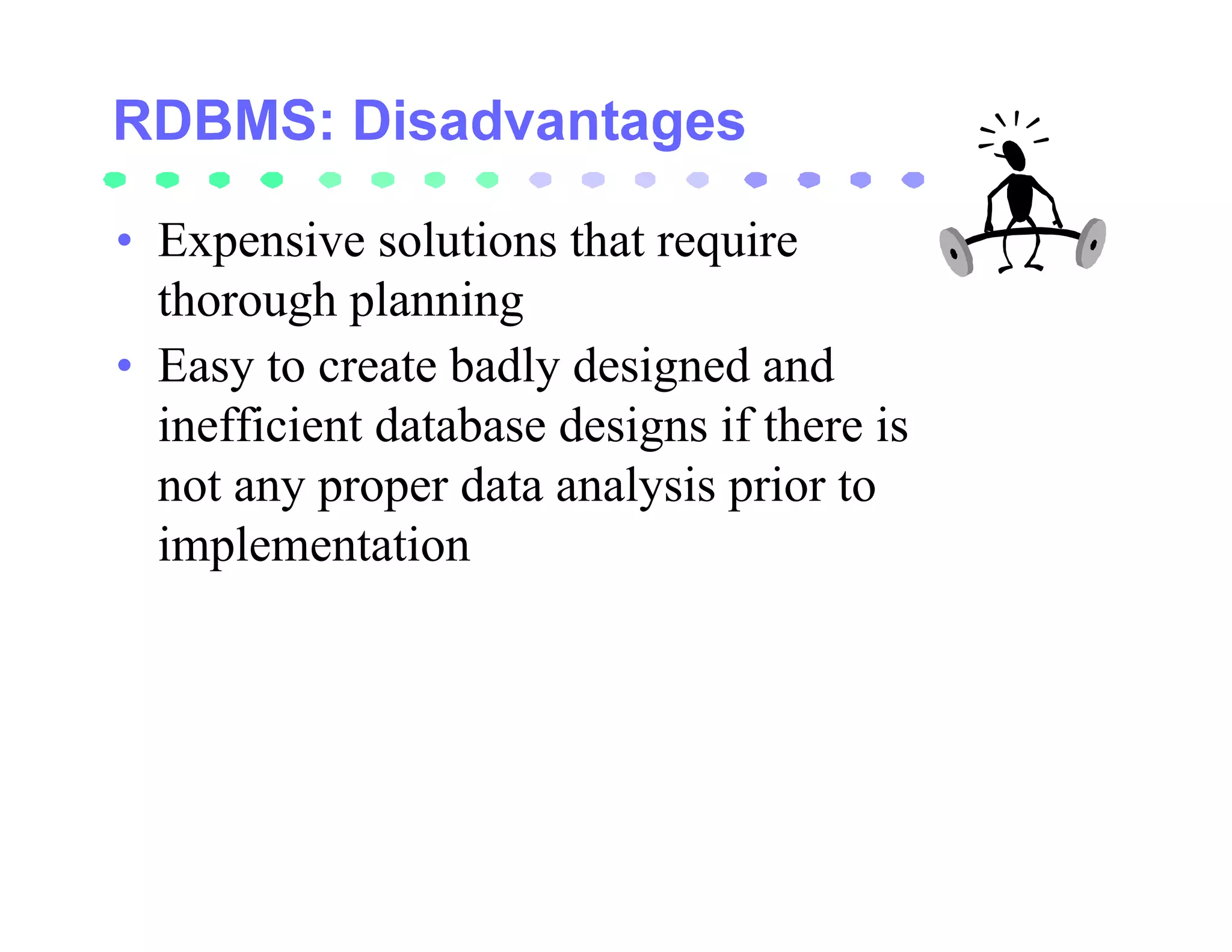
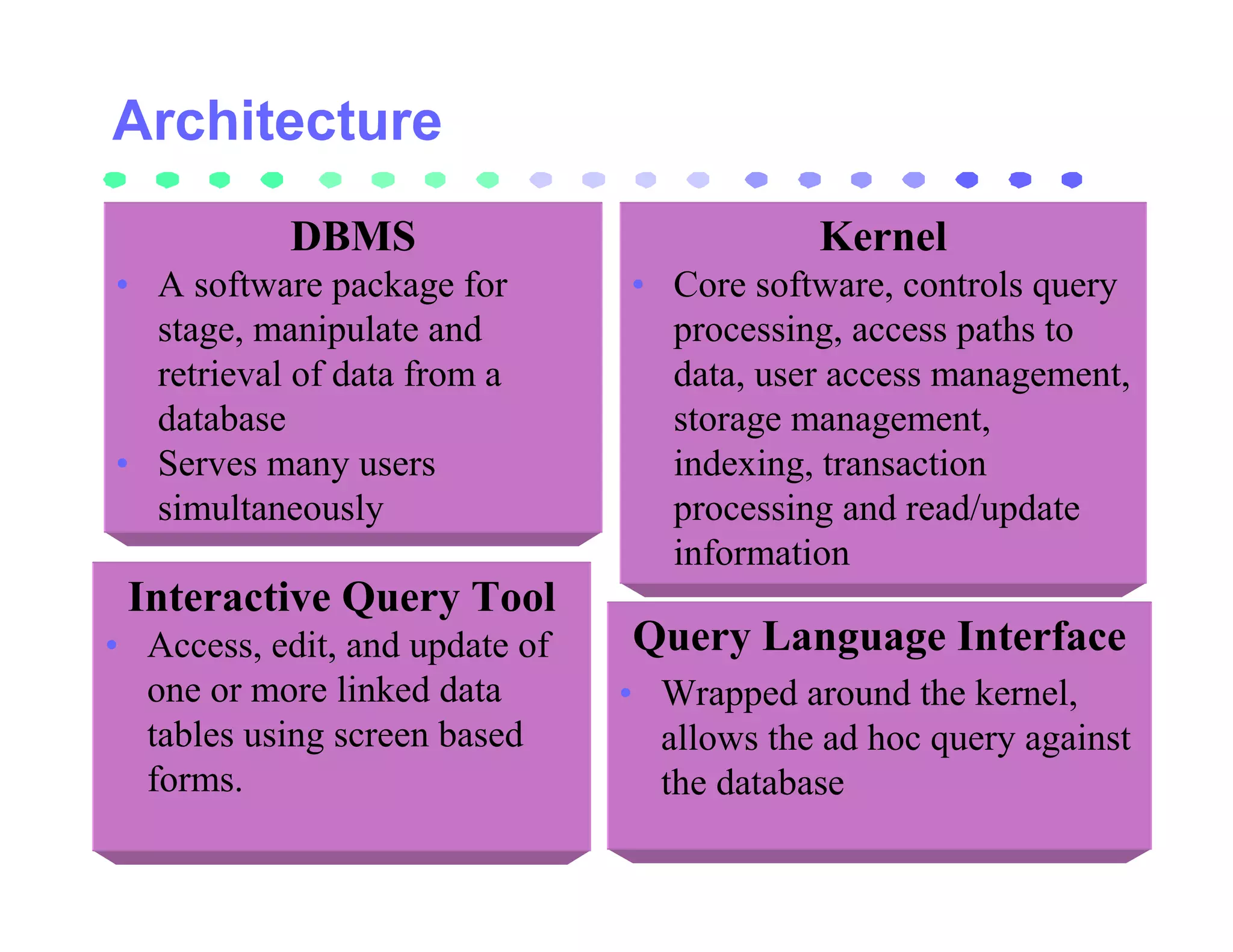
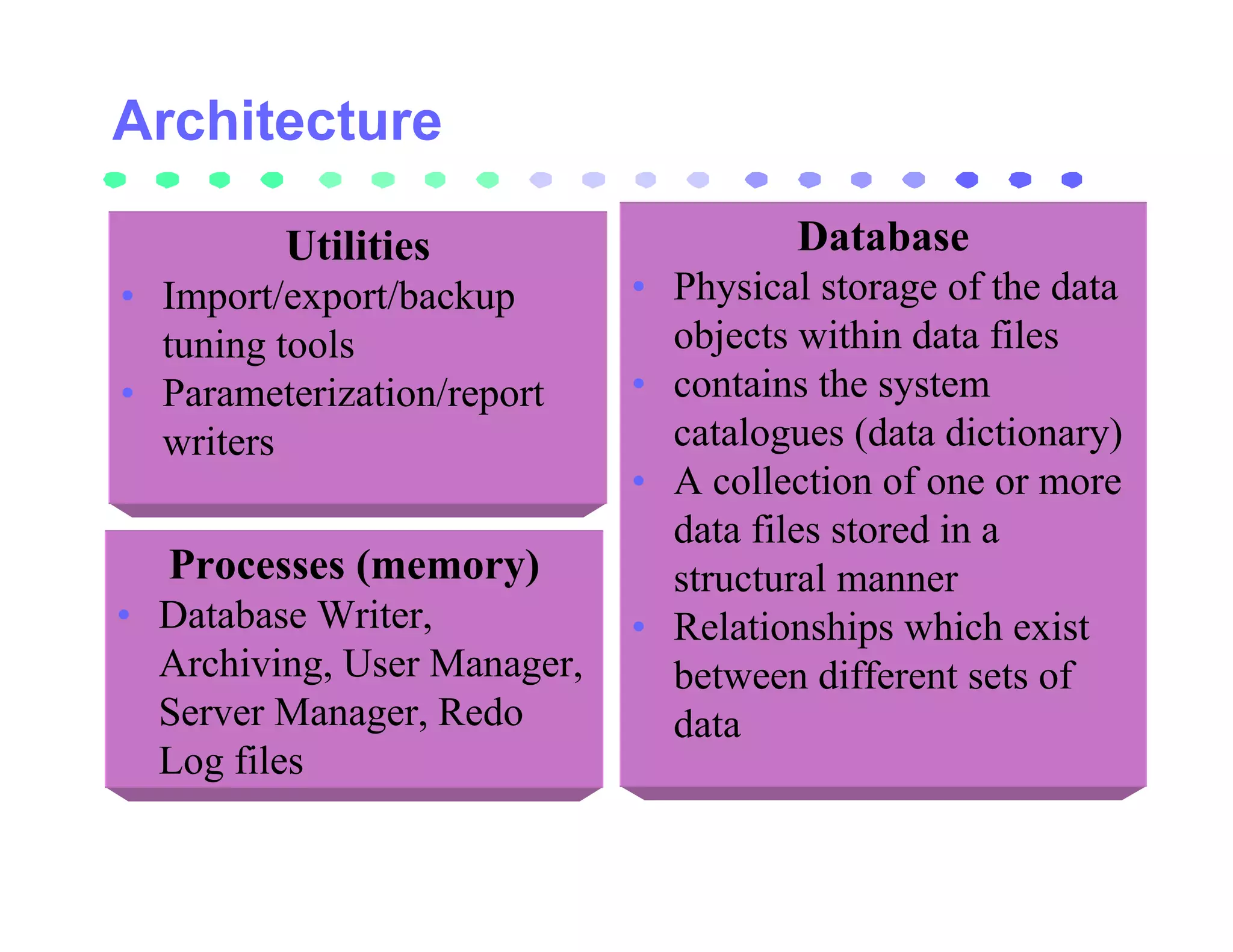
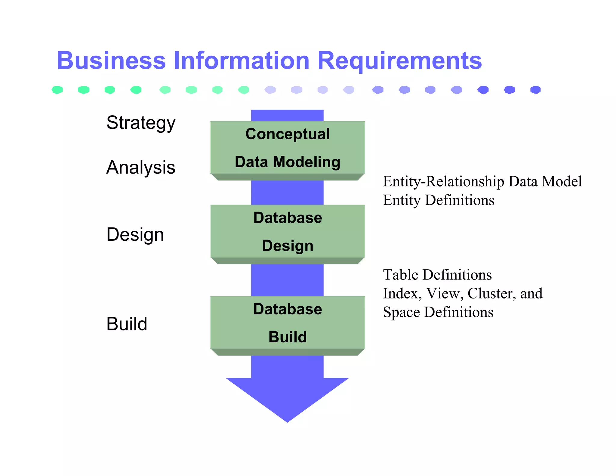
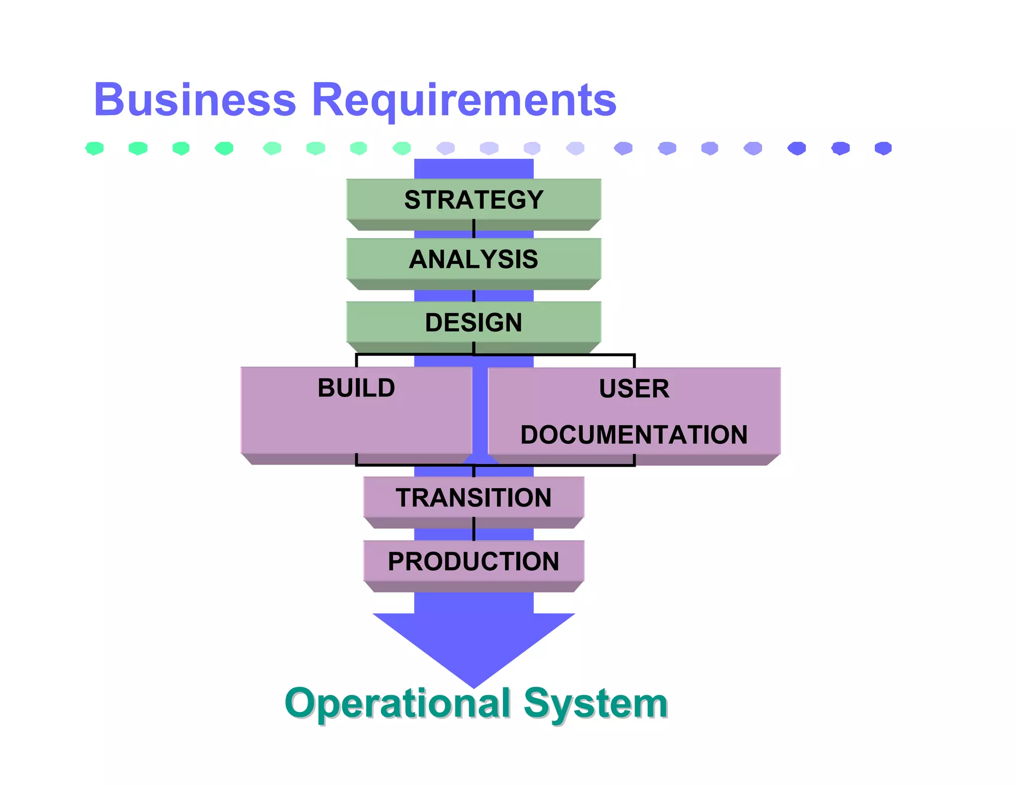
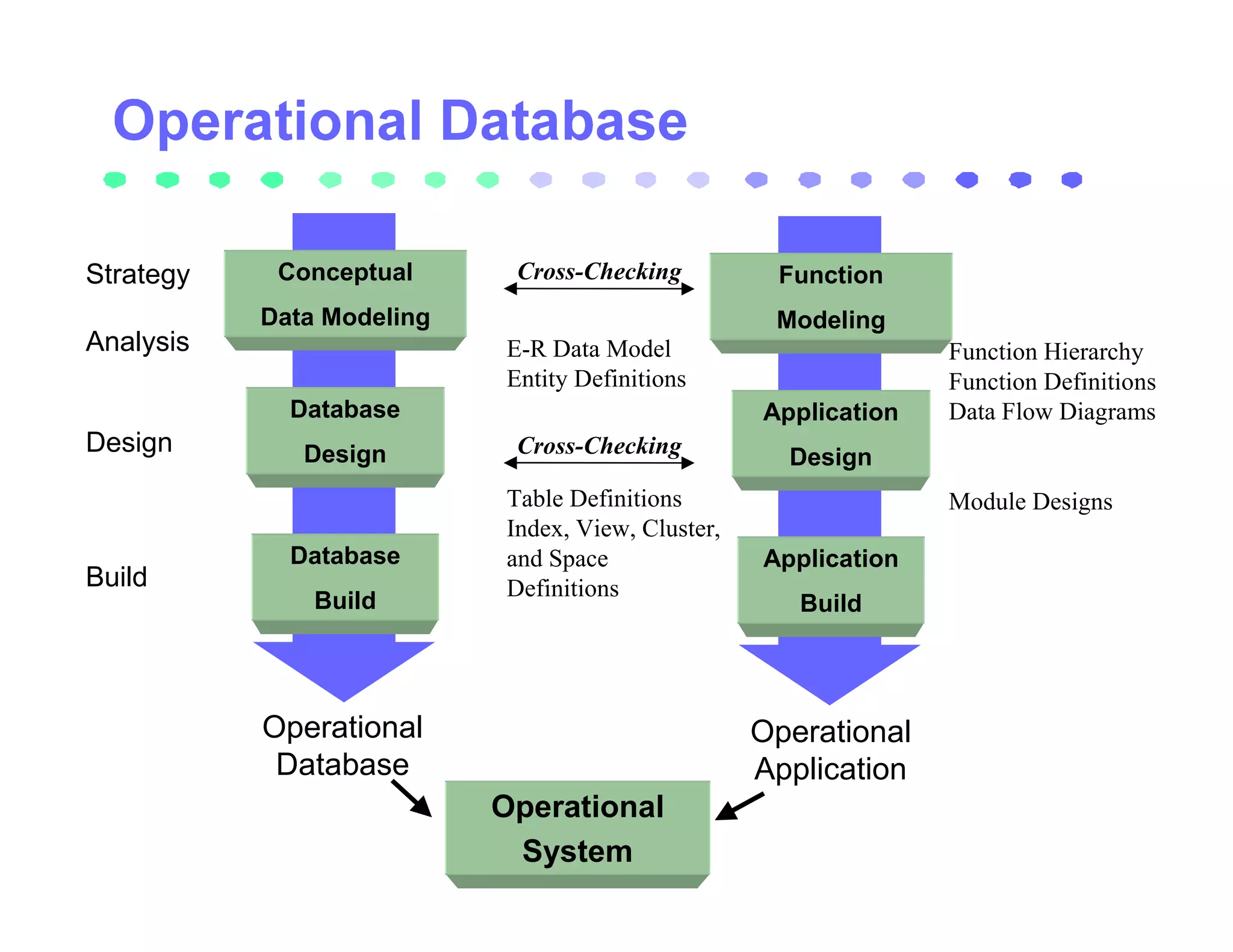
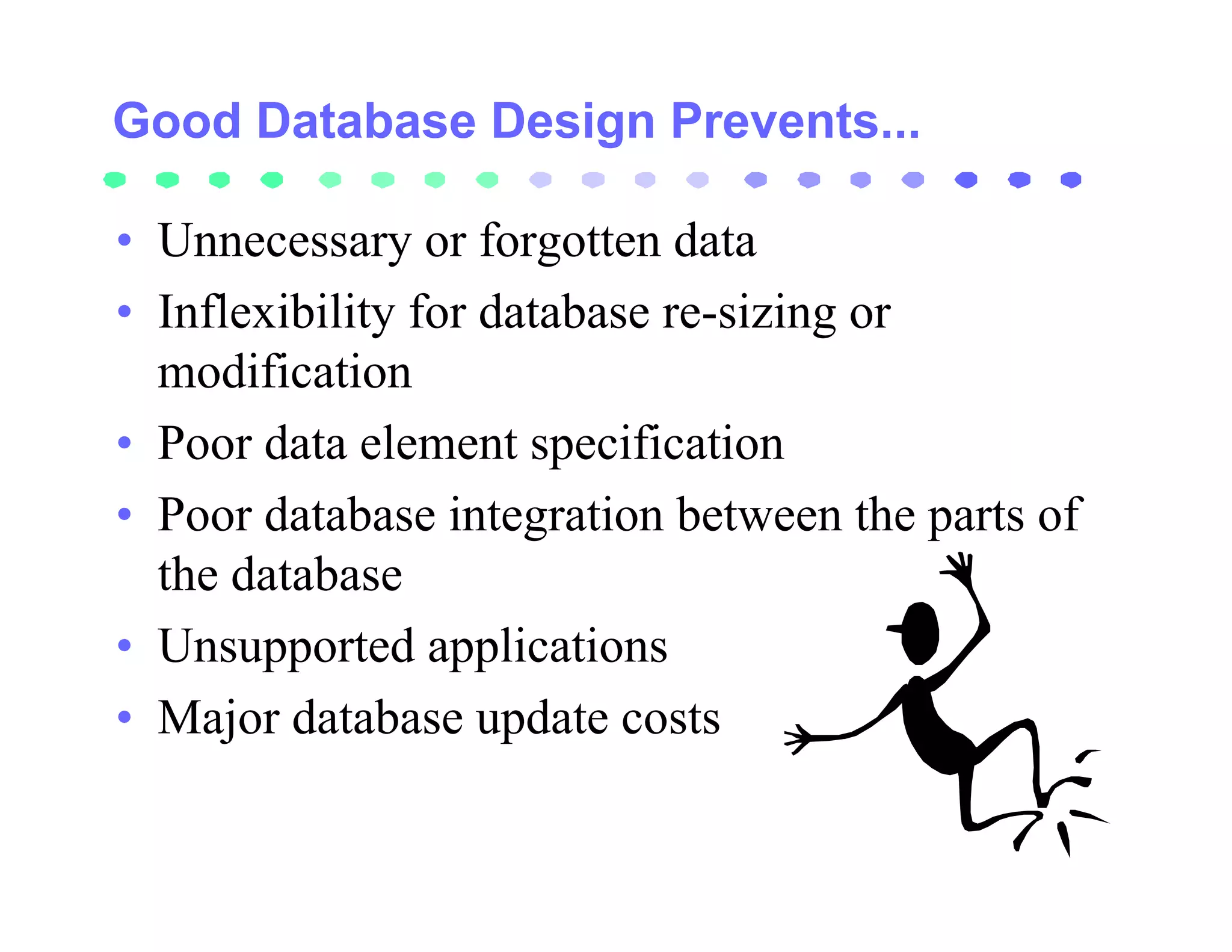
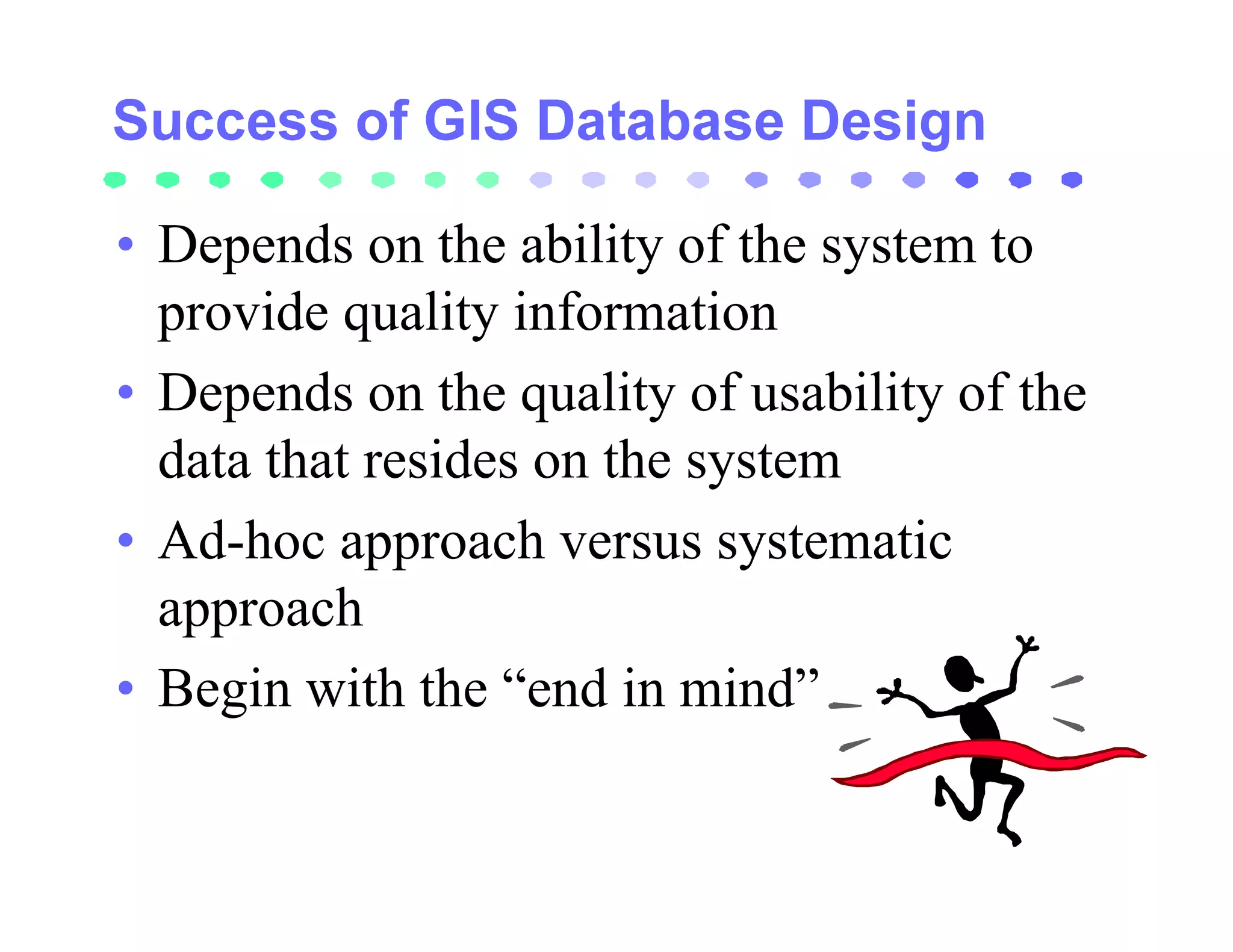
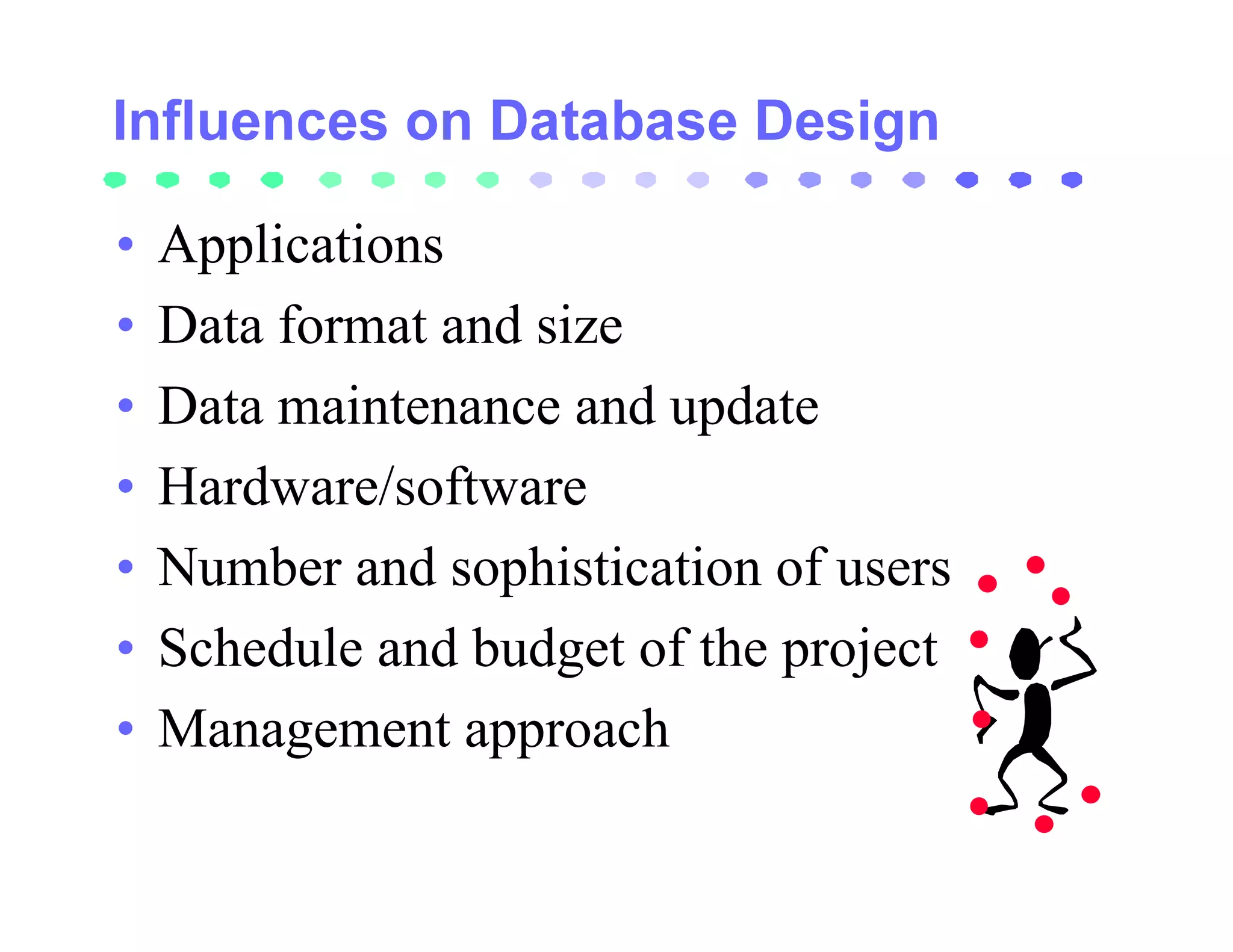
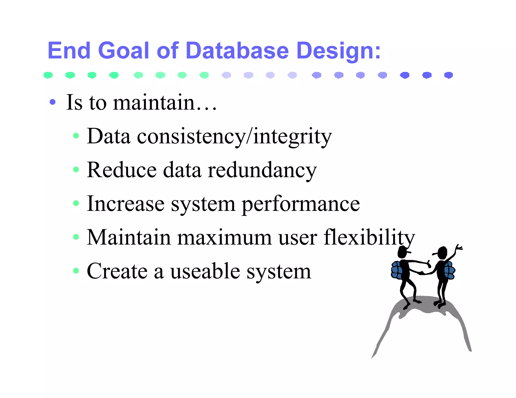
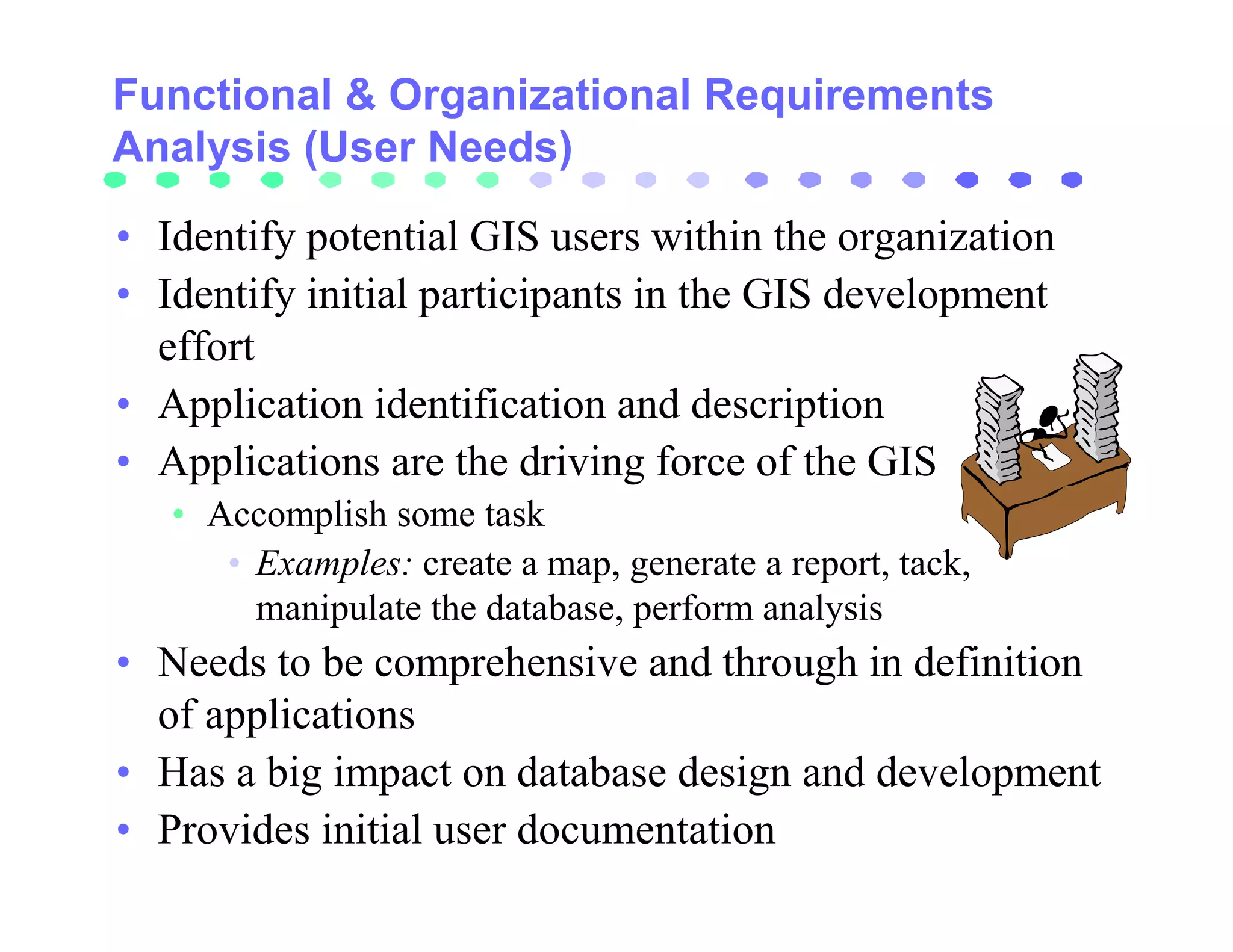
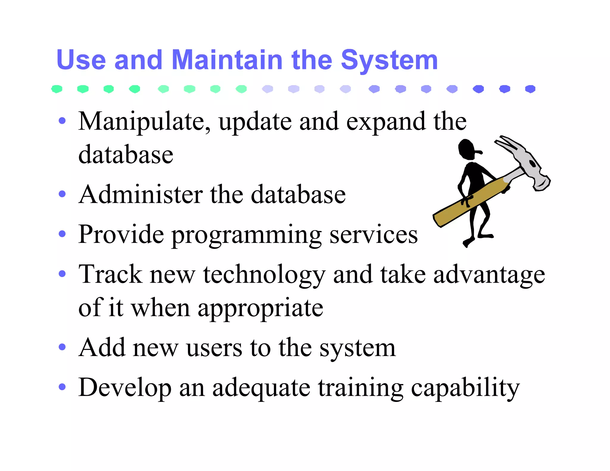
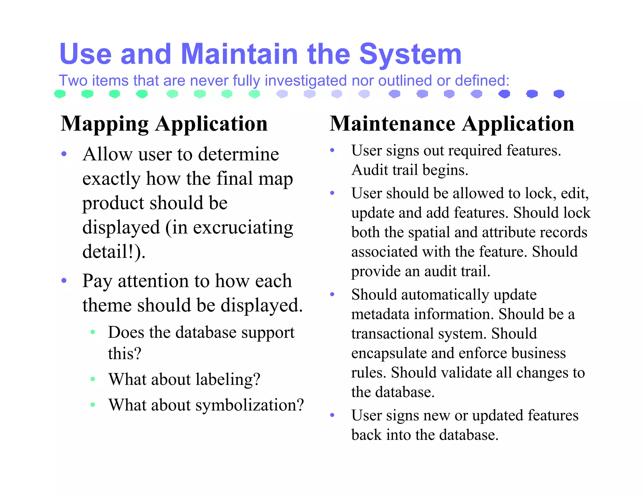
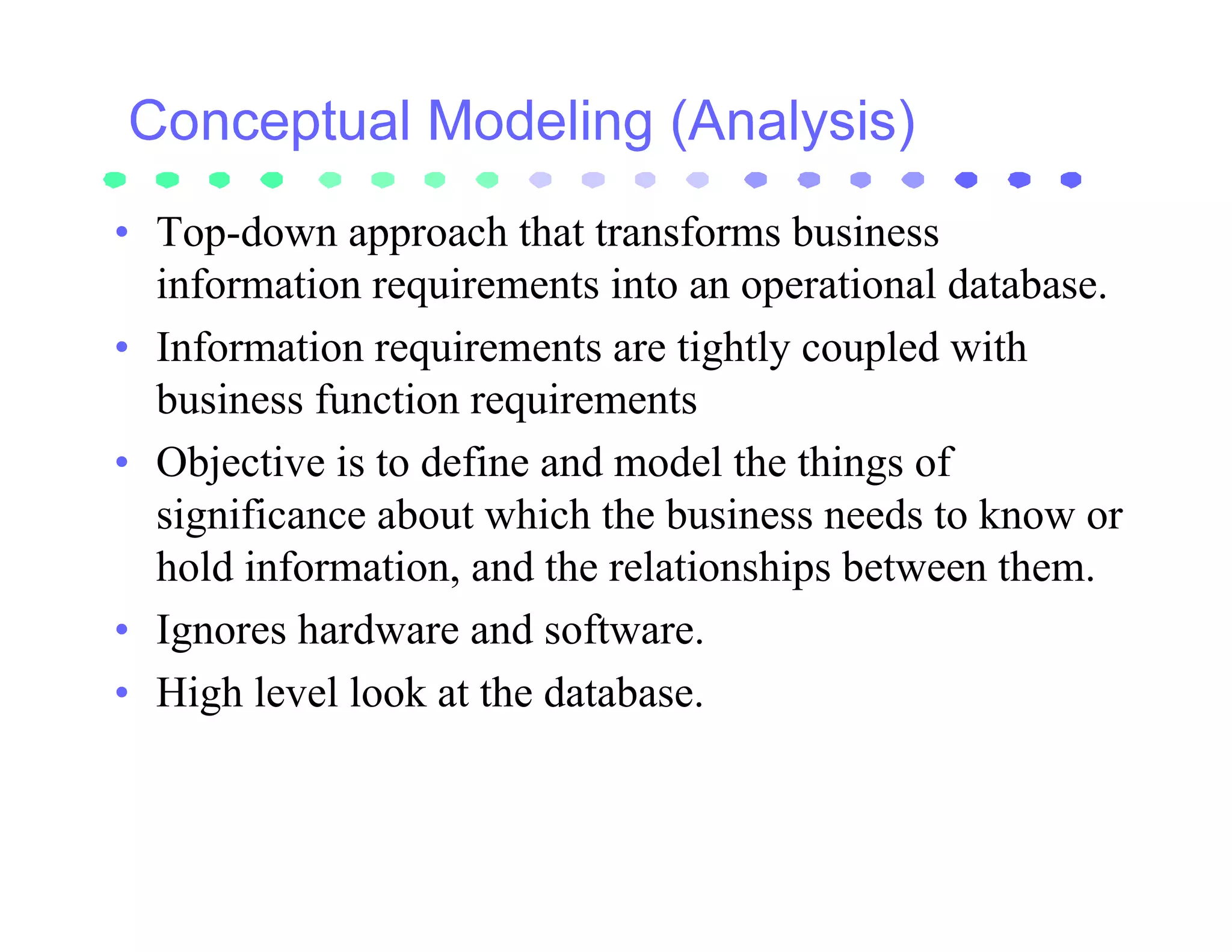
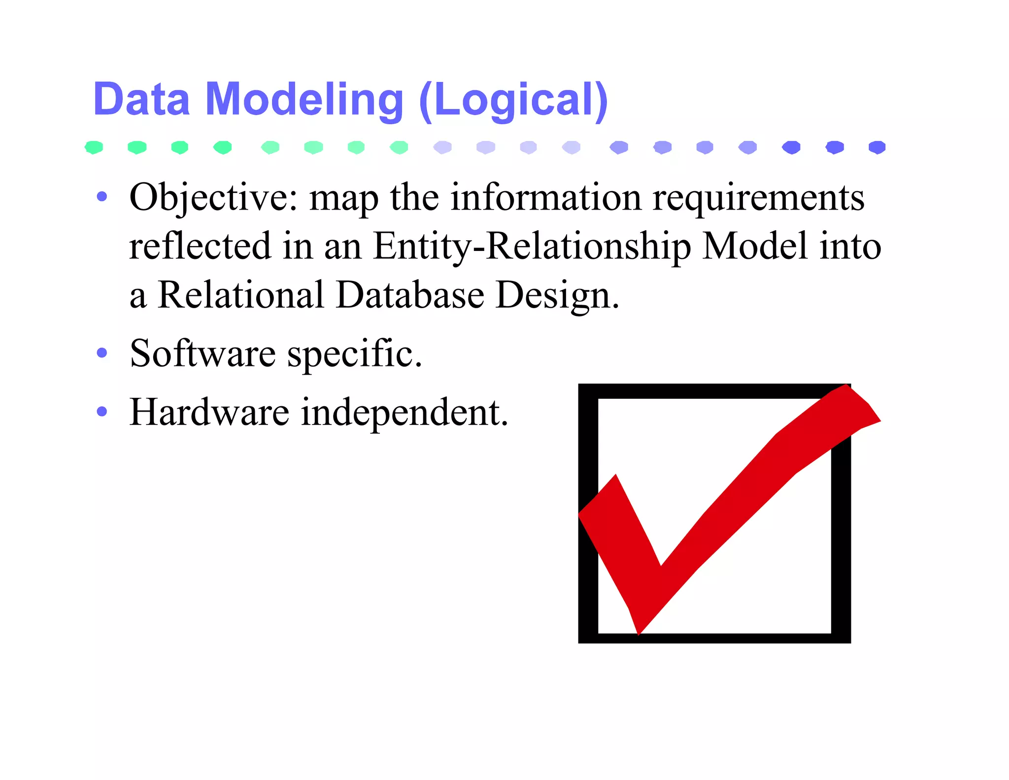
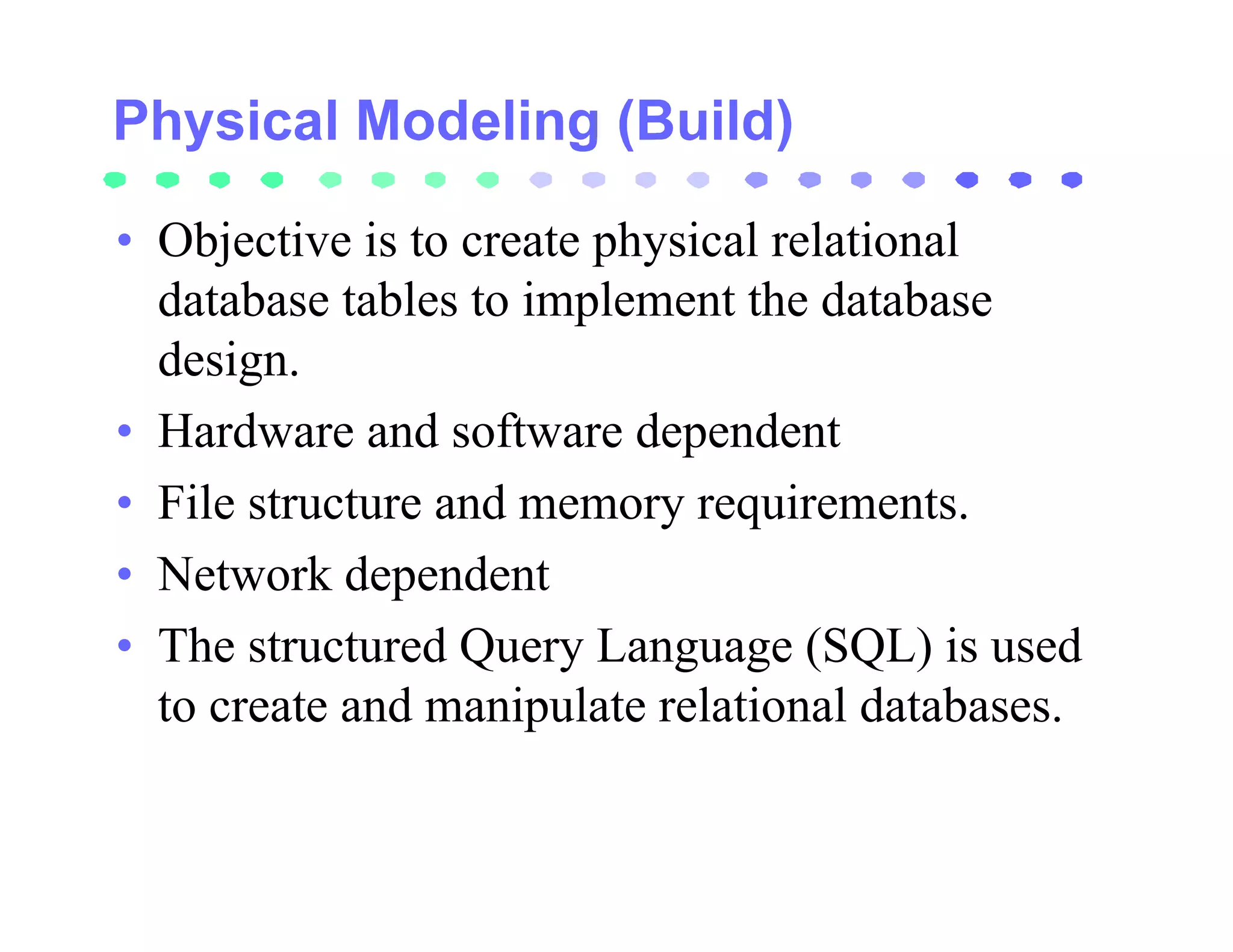
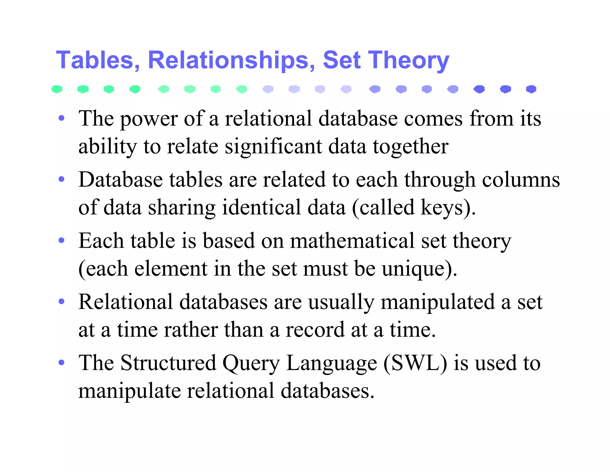
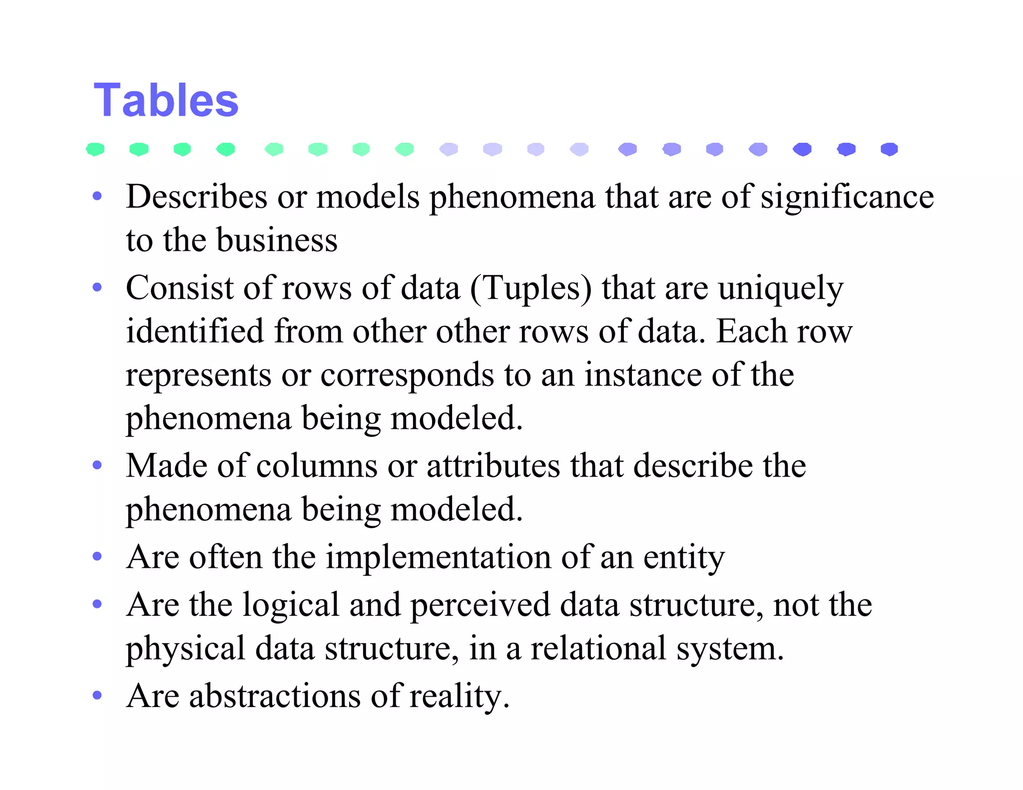
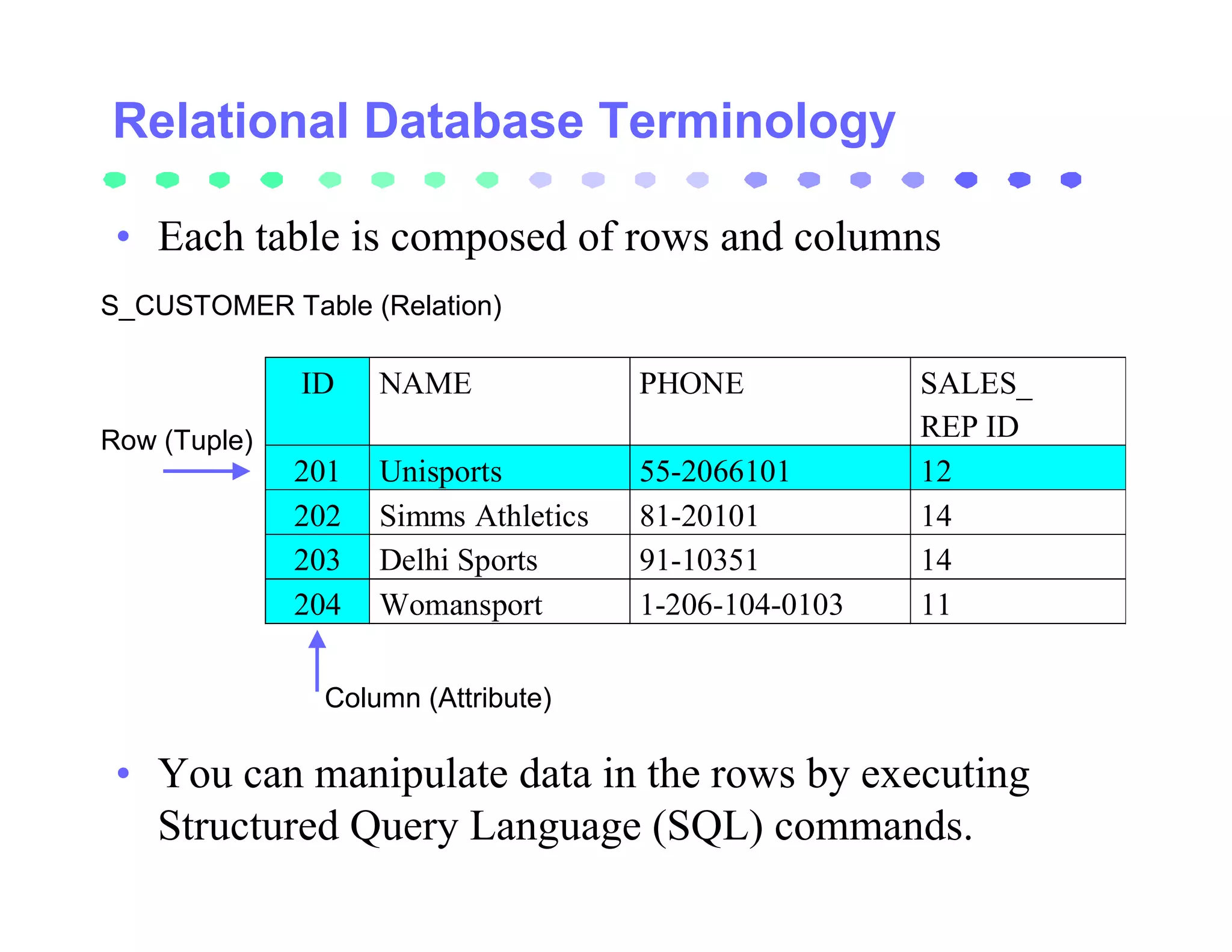
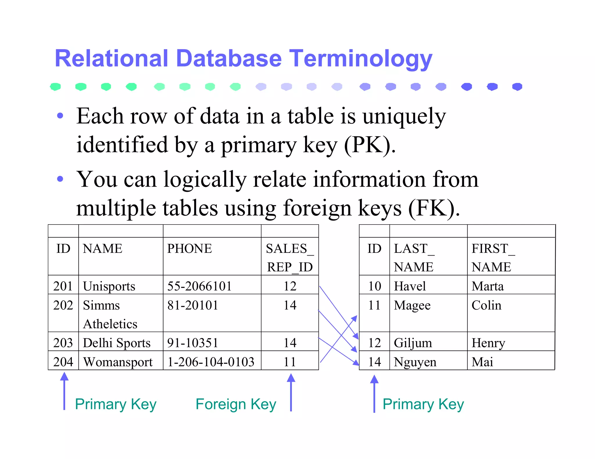
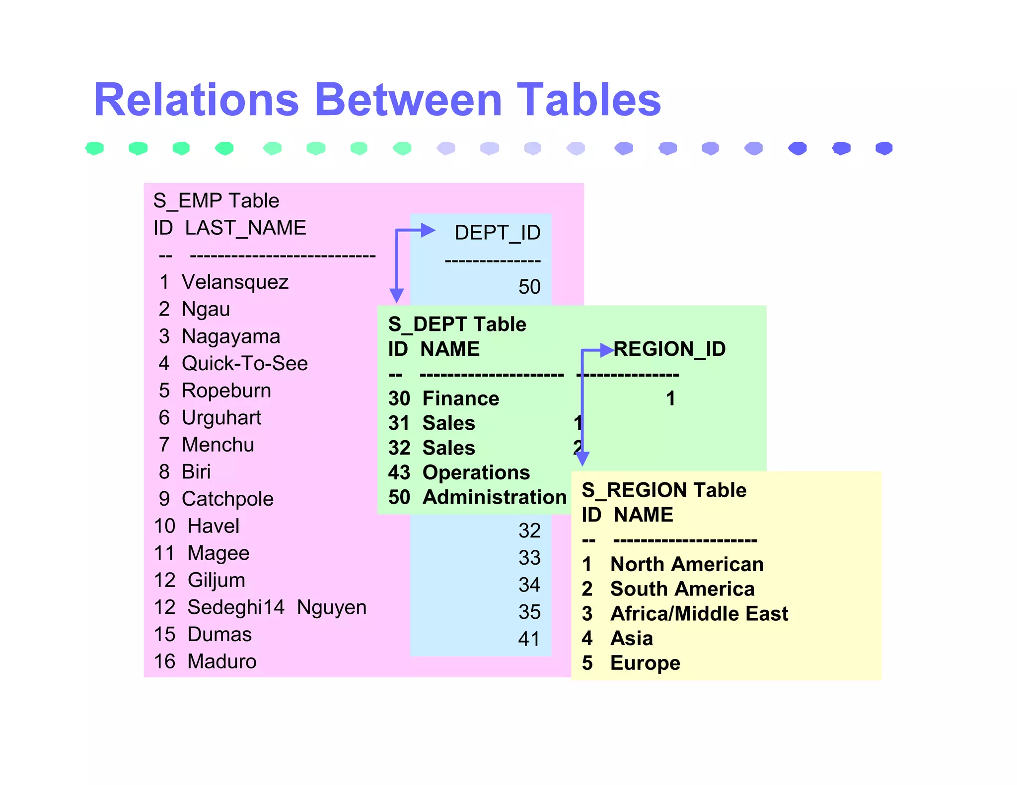
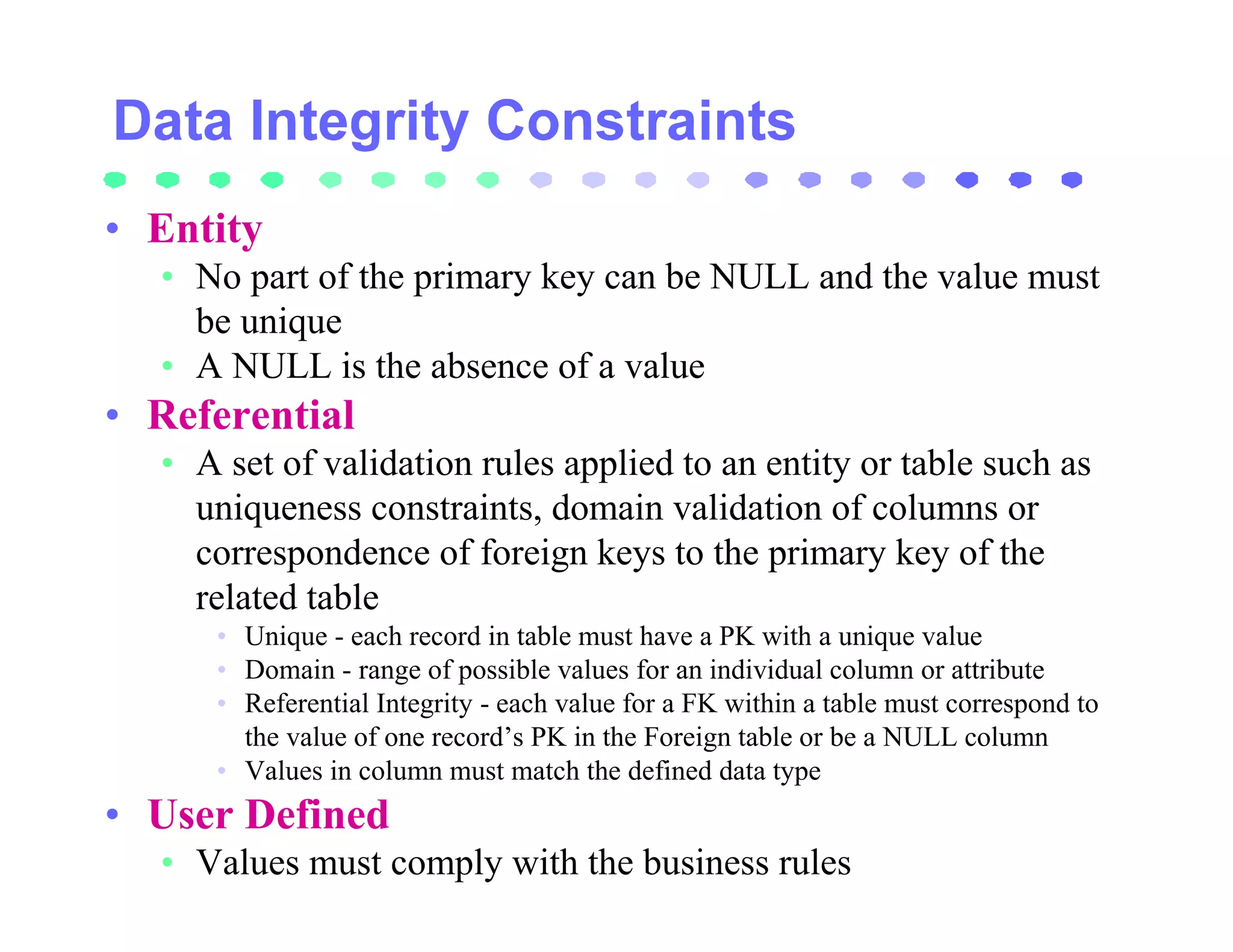
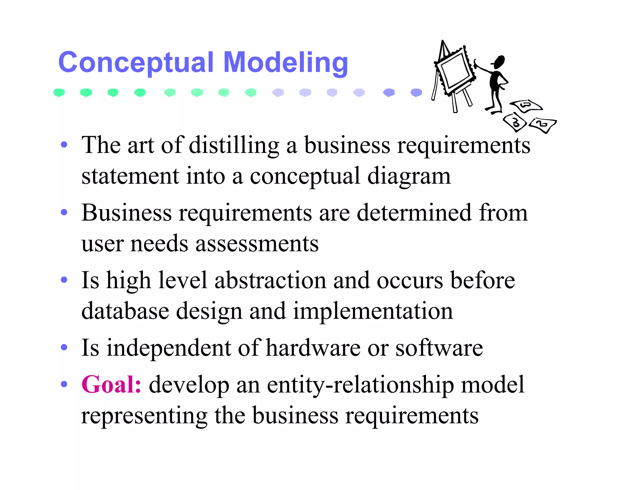
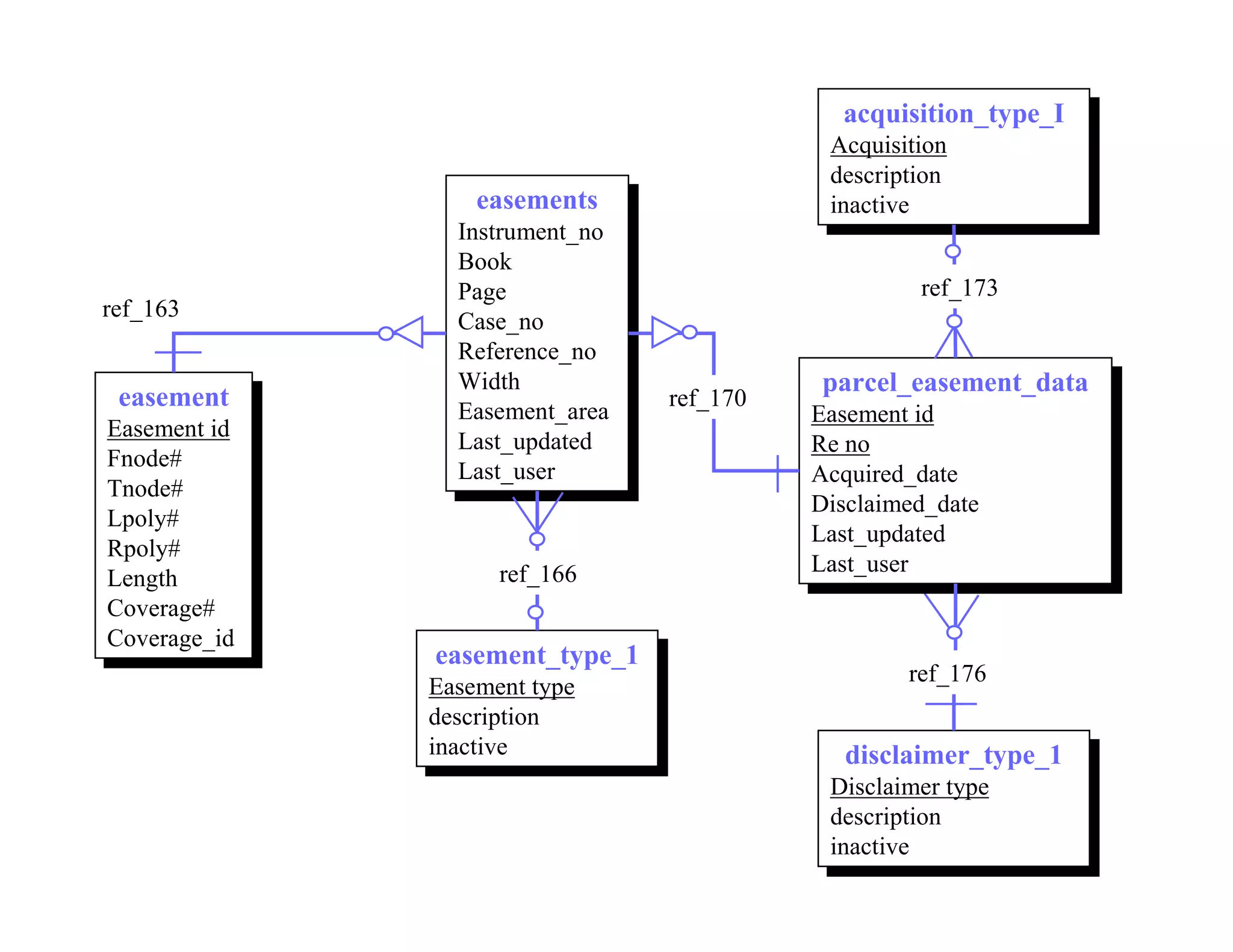
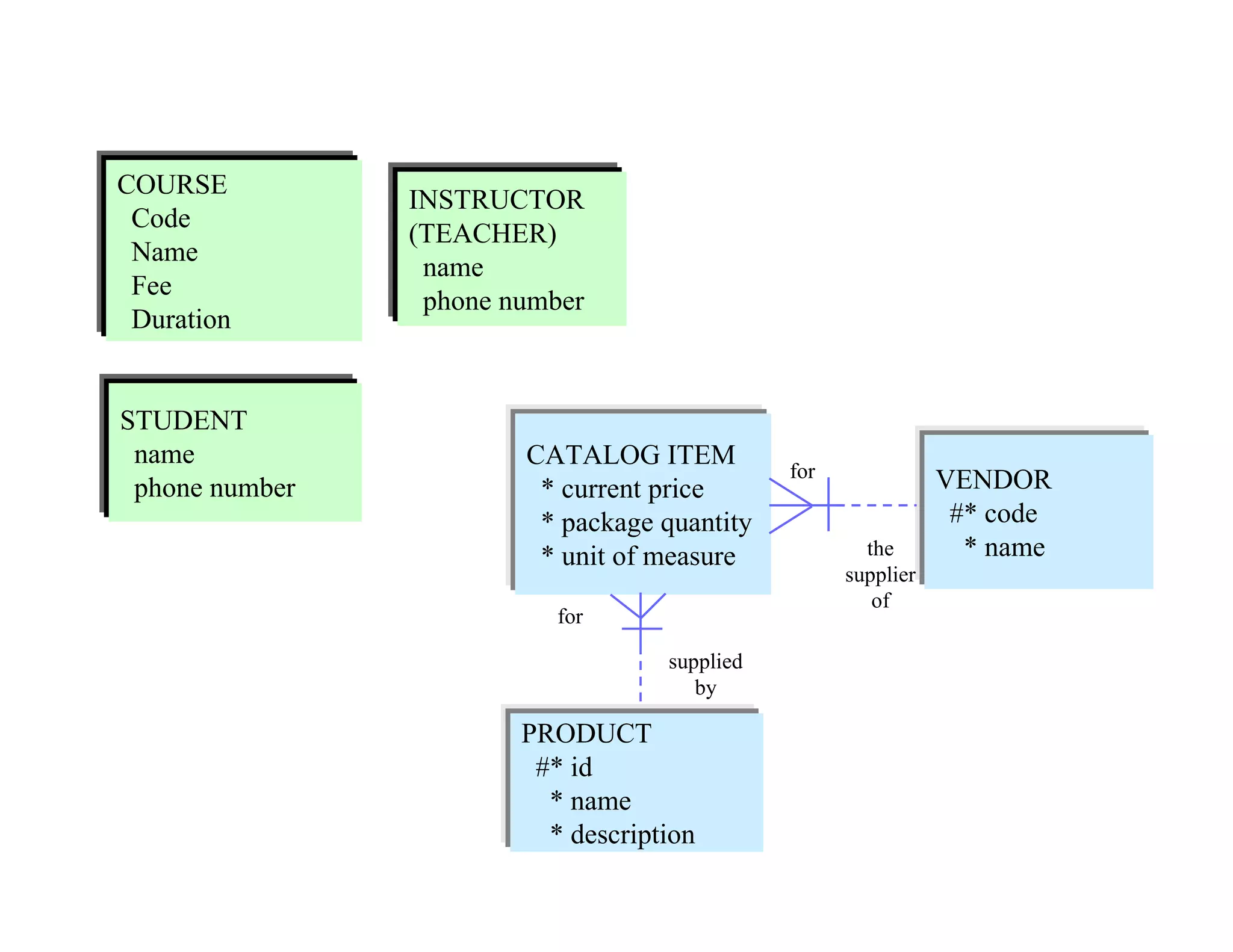
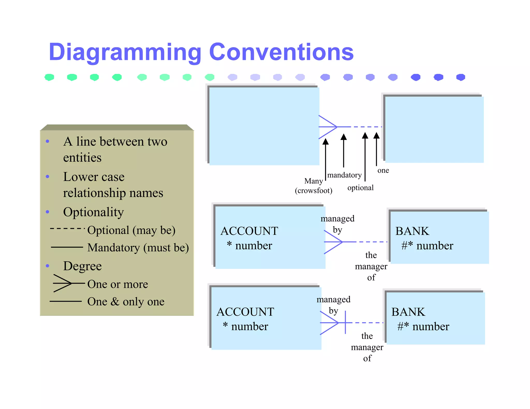
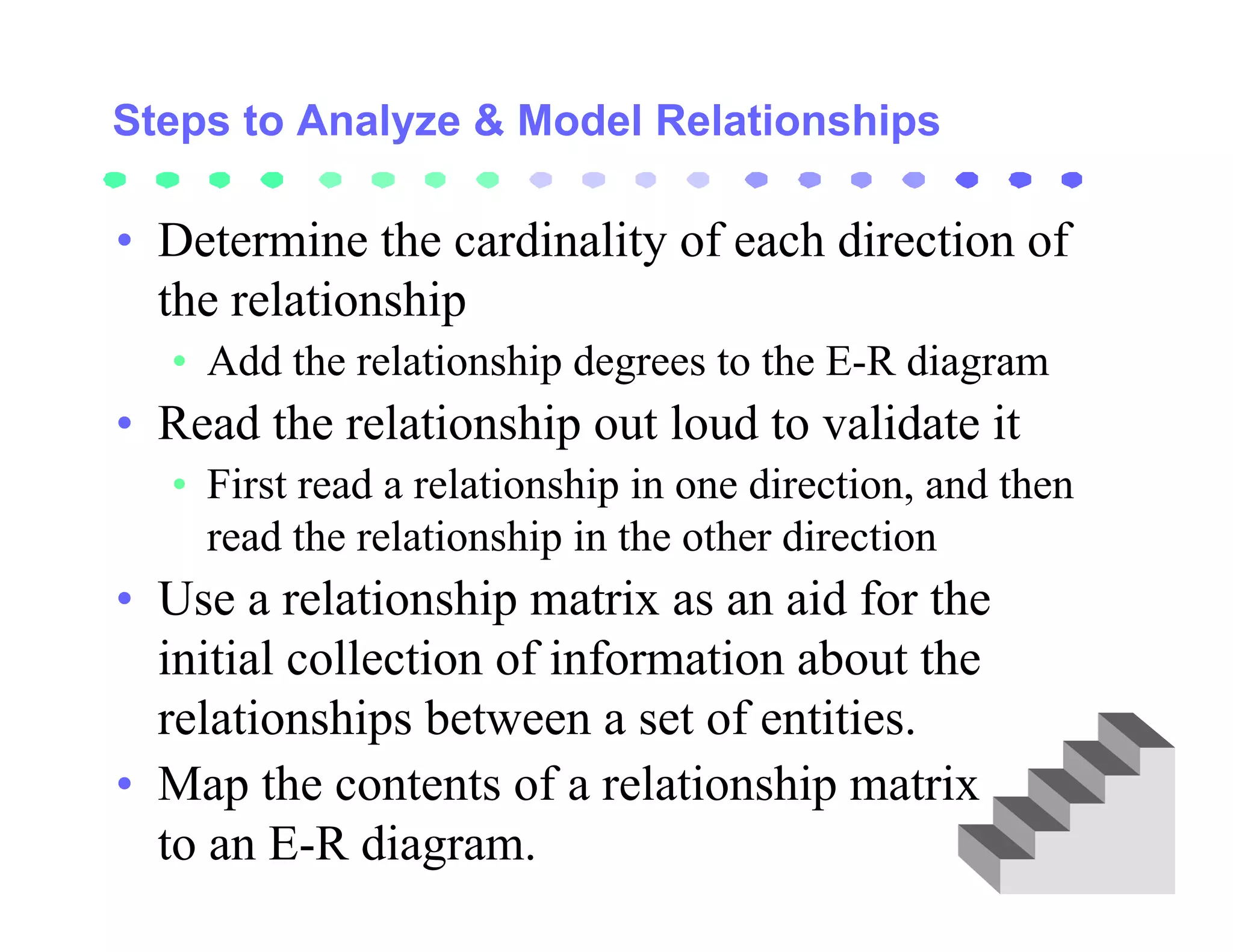
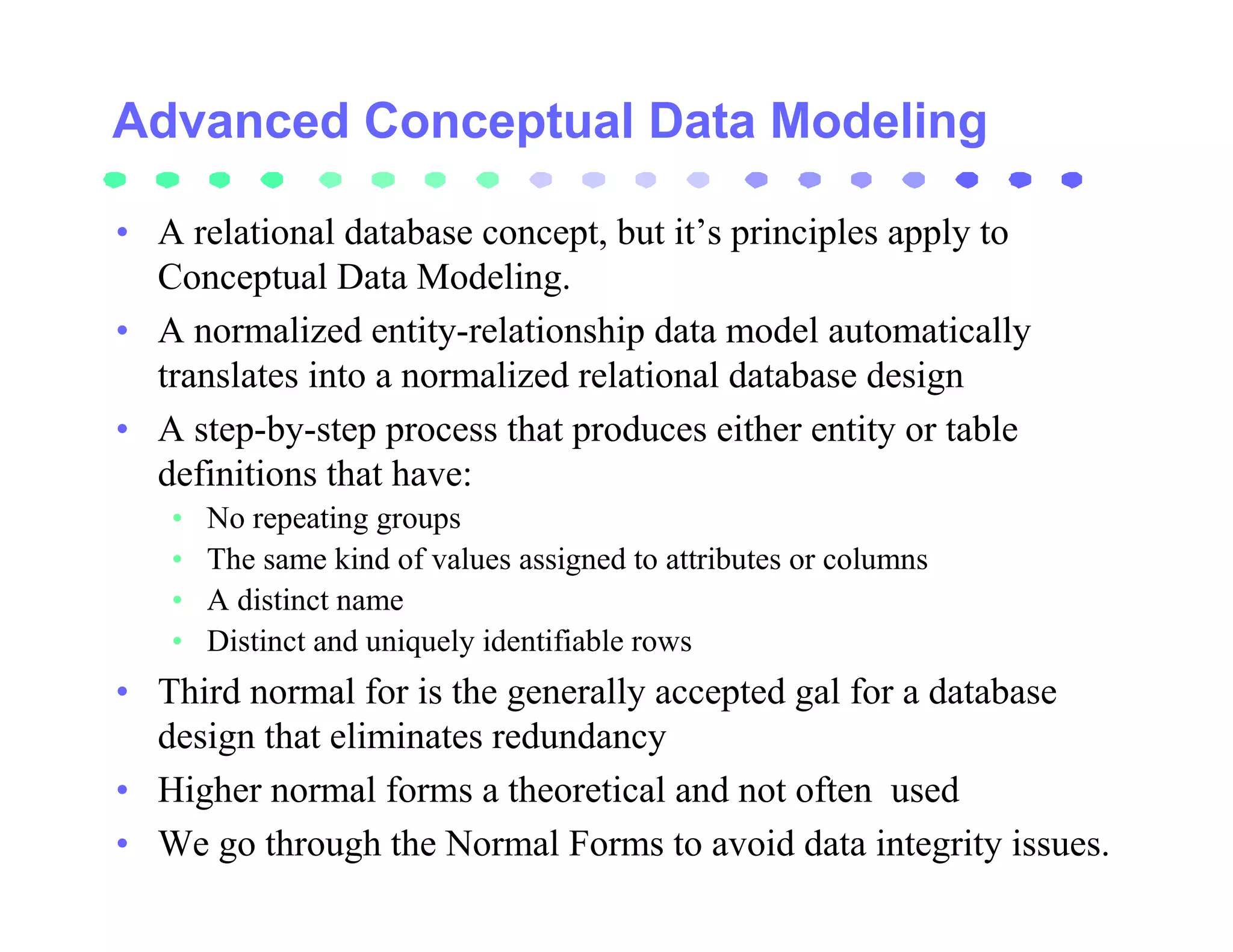
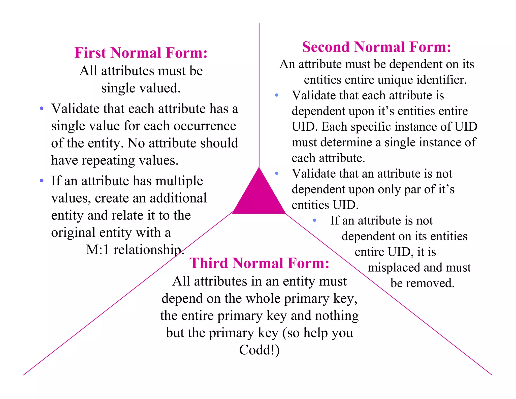
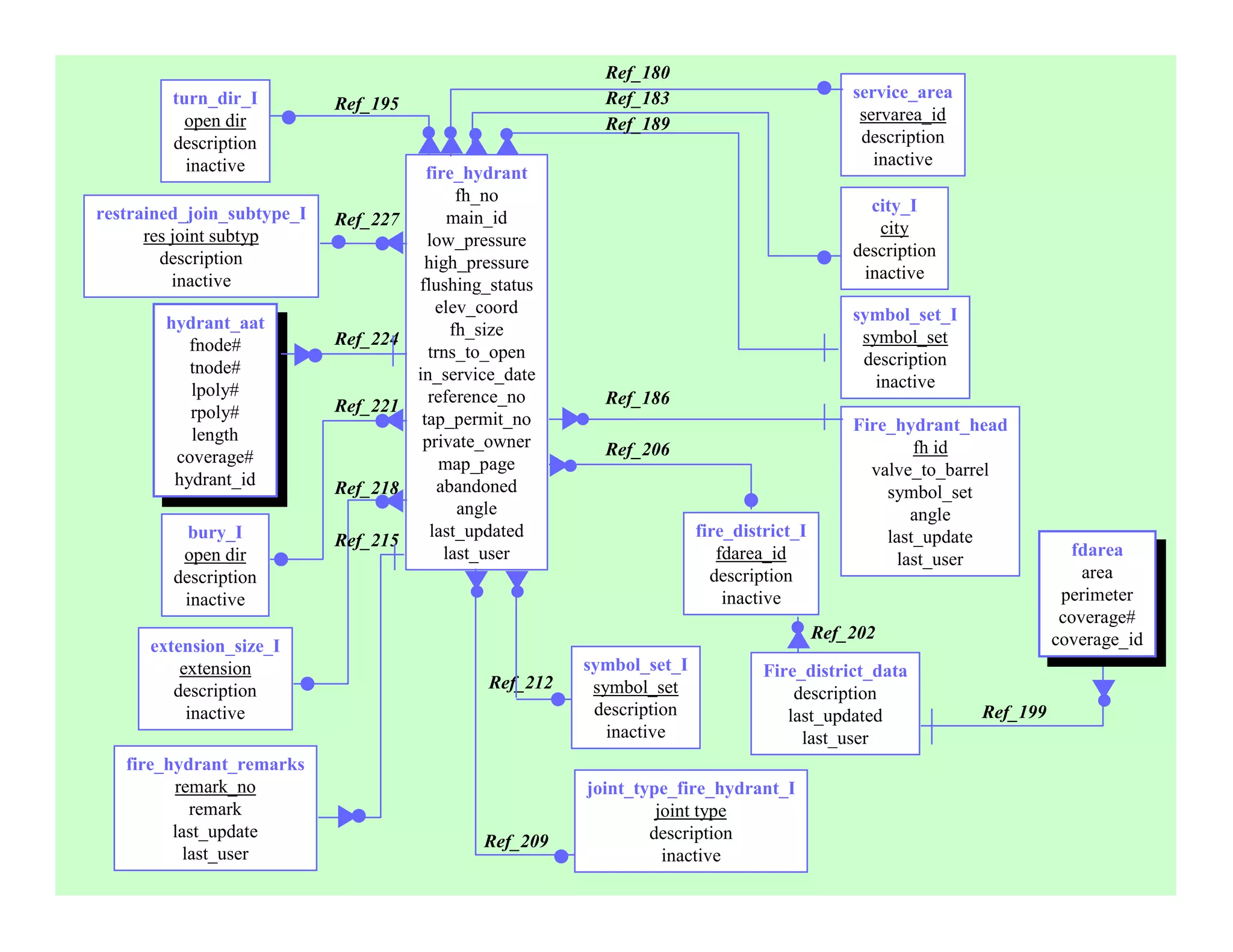
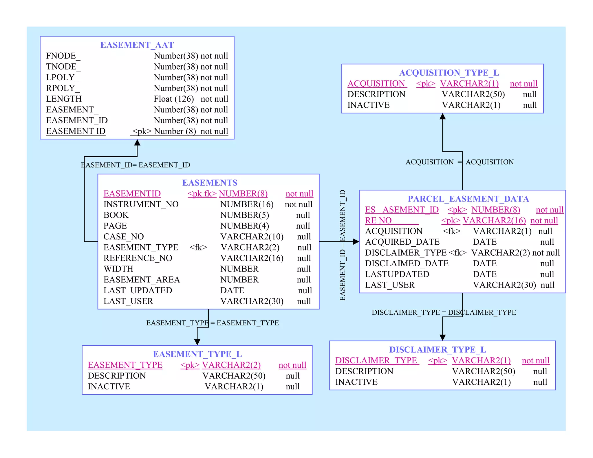
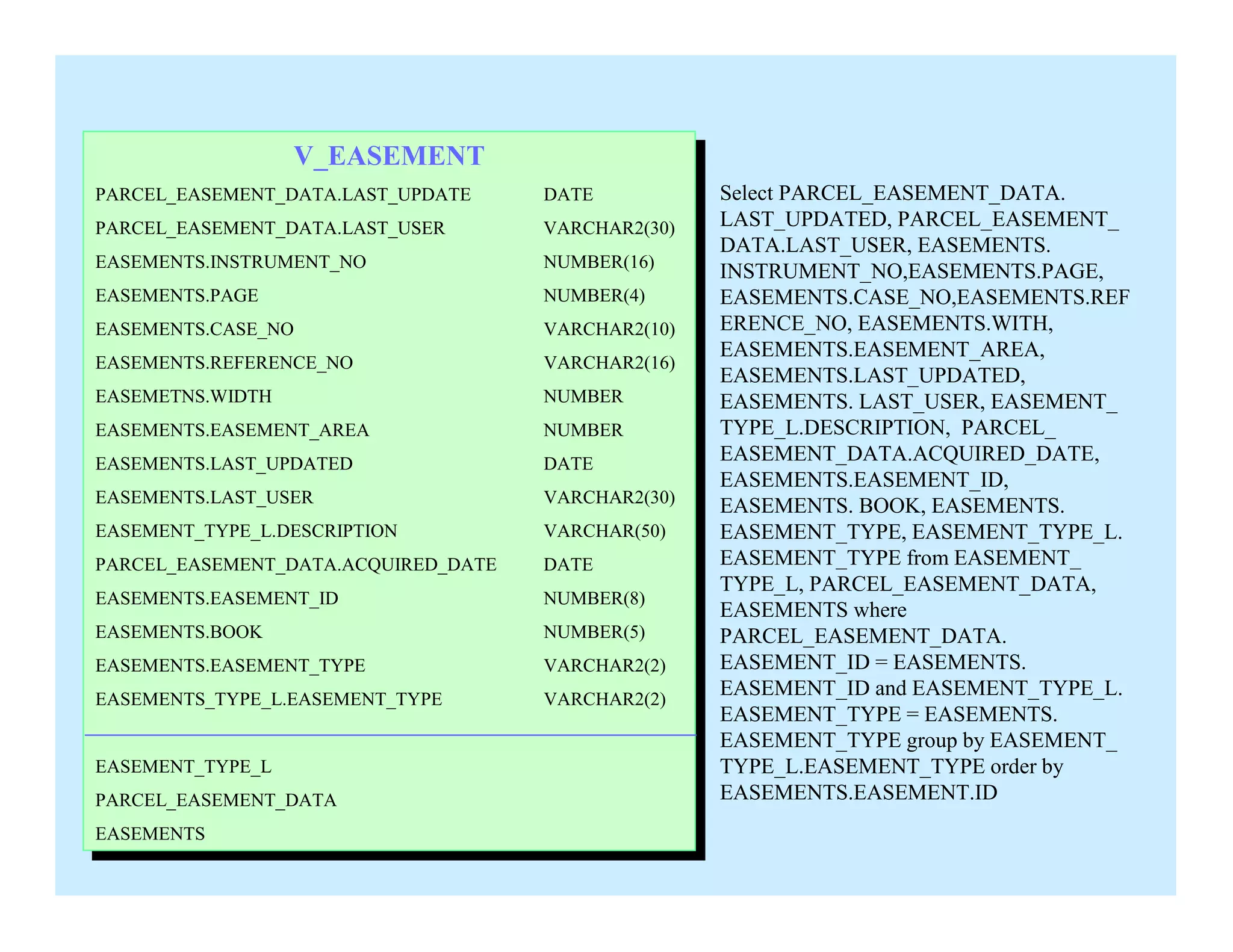
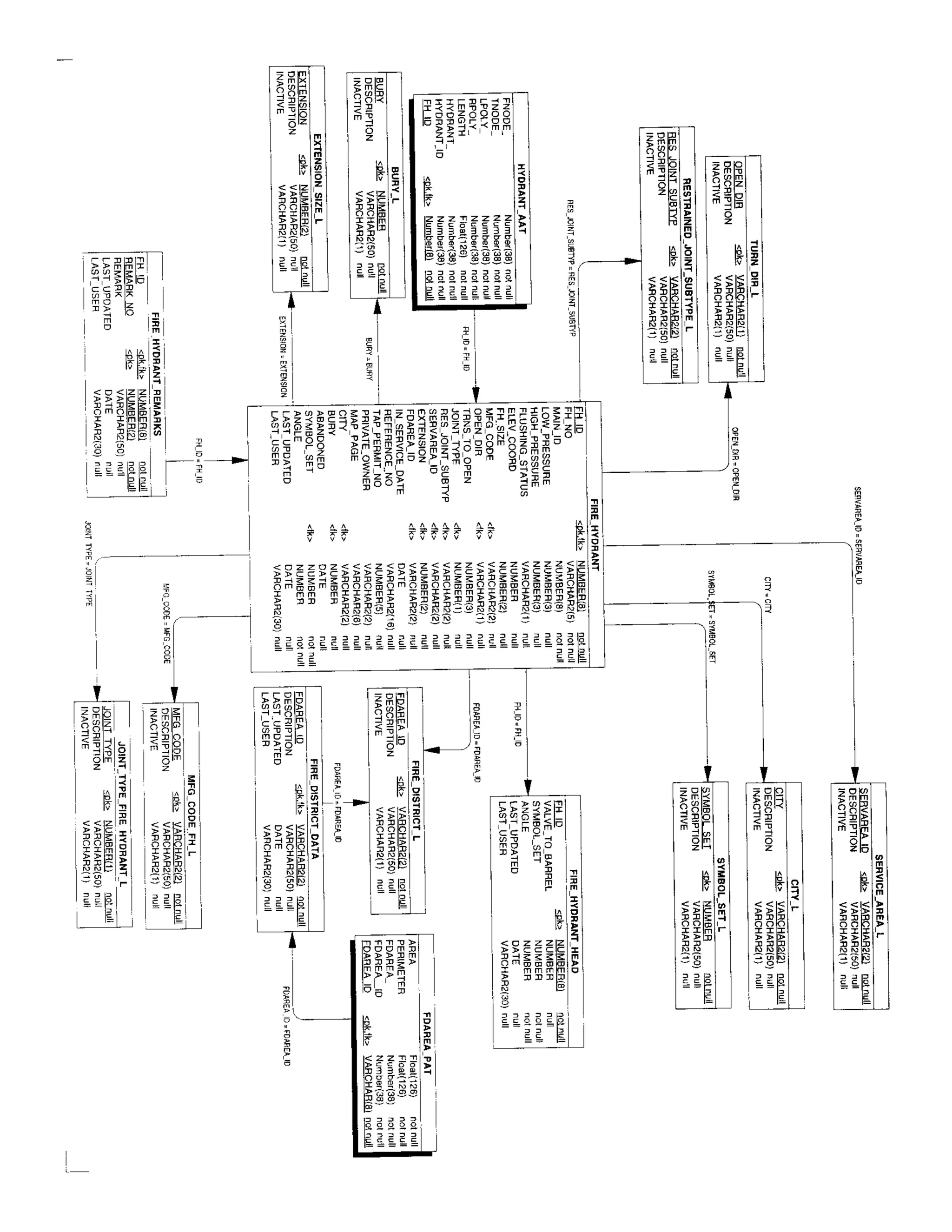
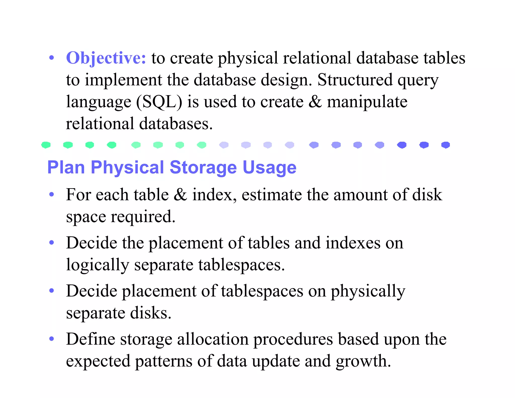
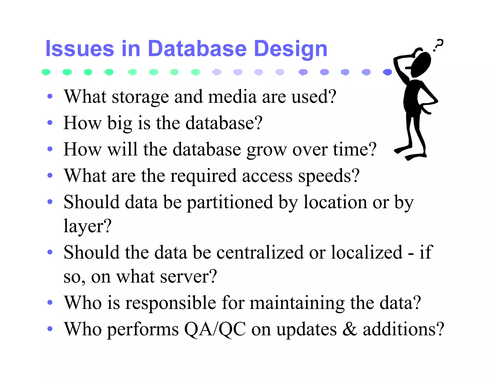
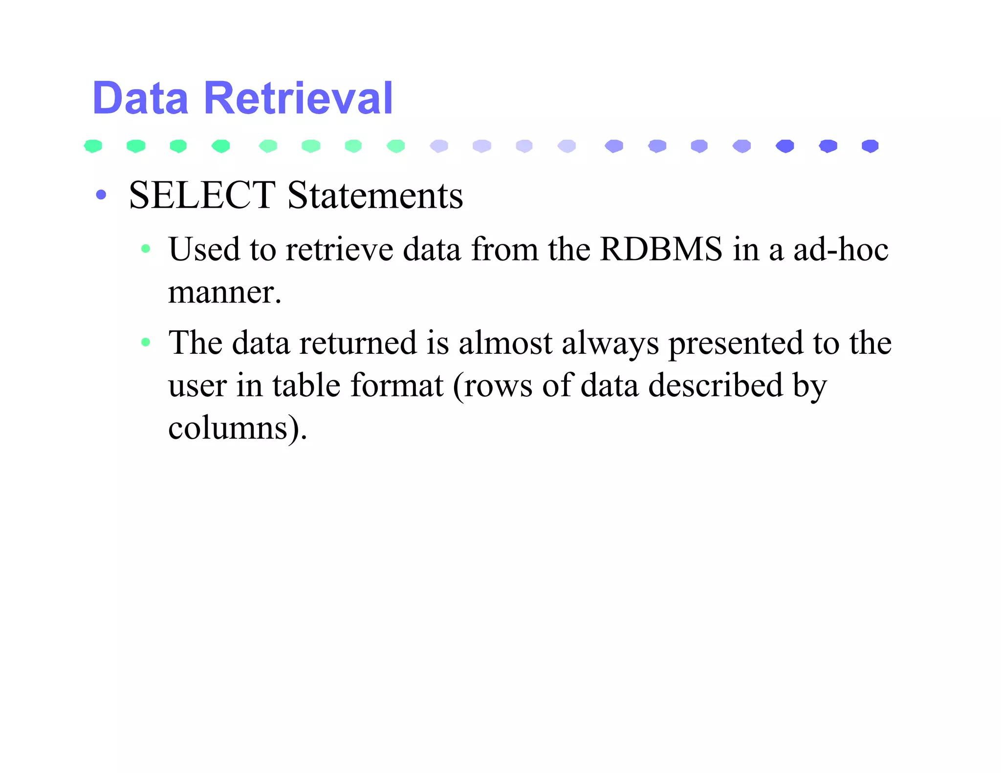
This document provides an overview of relational database design for geographic information systems (GIS). It discusses how GIS databases can be designed using a relational model with spatial data stored in tables along with associated attribute data for efficient management and analysis. The key aspects covered include normalization of tables, use of primary and foreign keys to link features to their attributes, and queries using SQL to access both spatial and non-spatial data together. Maintaining data integrity and relationships between features and attributes is also emphasized.

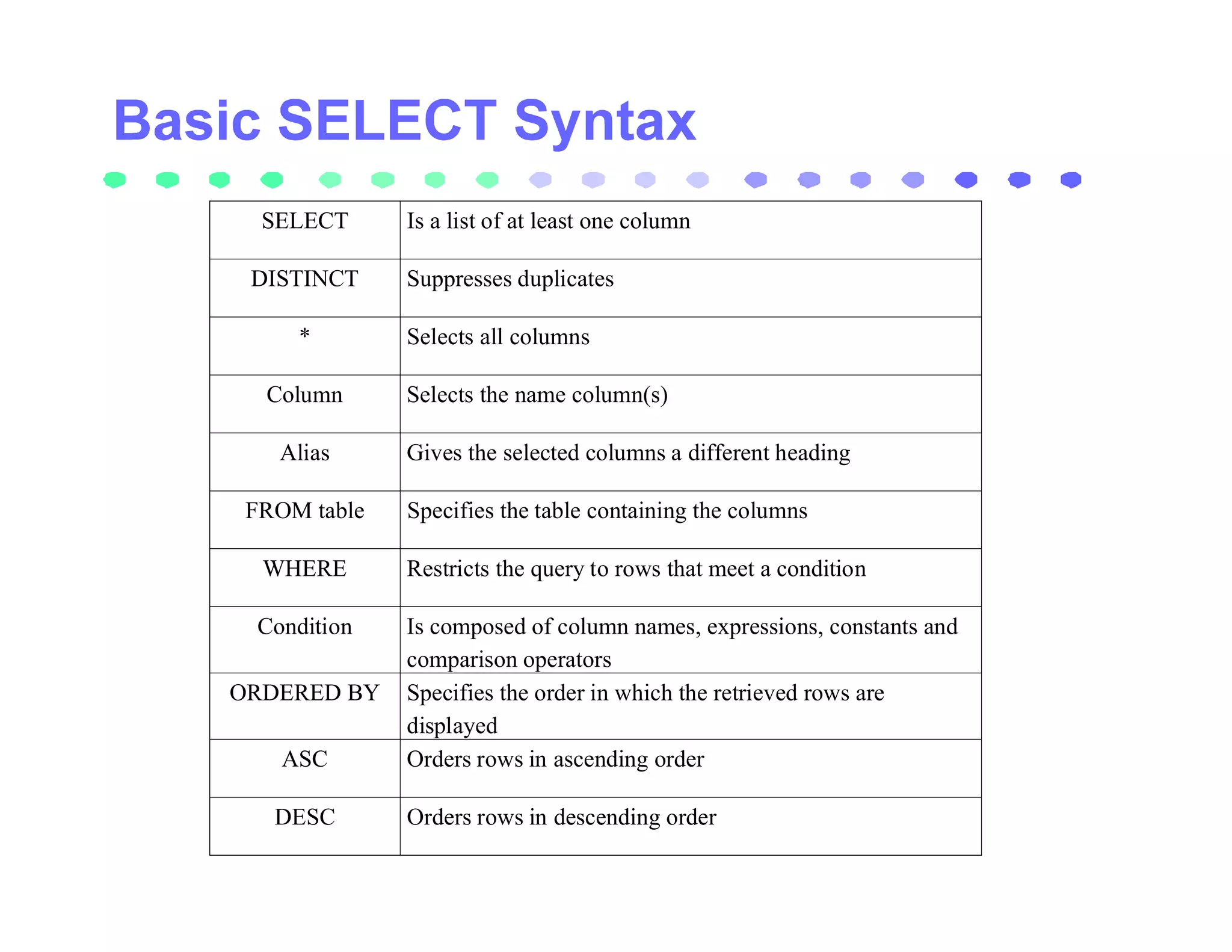
![• SELECT [DISTINCT} {*,column [alias],…}
• FROM table
• [WHERE condition(s)]
• ORDERED BY {column, expression} [ASC|DESC]];
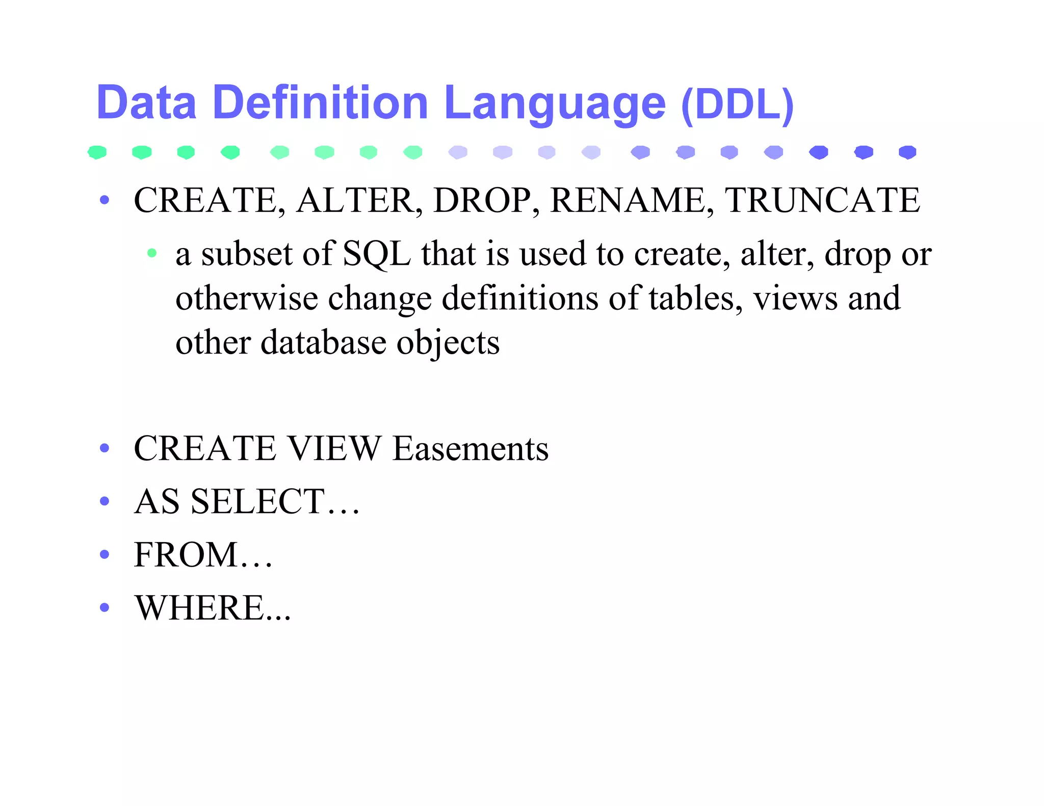
• SELECT * FROM EASEMENTS;
• SELECT BOOK, PAGE, WIDTH * 12 AS “PROPOSED
WIDTH” FROM EASEMENTS;
• SELECT BOOK || ‘ __ ‘ || PAGE FROM EASEMENTS;
• SELECT DISTINCT WIDTH FROM EASEMENTS;
• SELECT DISTINCT WIDTH FROM EAEMENTS
• ORDER BY LAST_UPDATED:](https://image.slidesharecdn.com/relational-110816081741-phpapp01/75/Relational-101-2048.jpg)
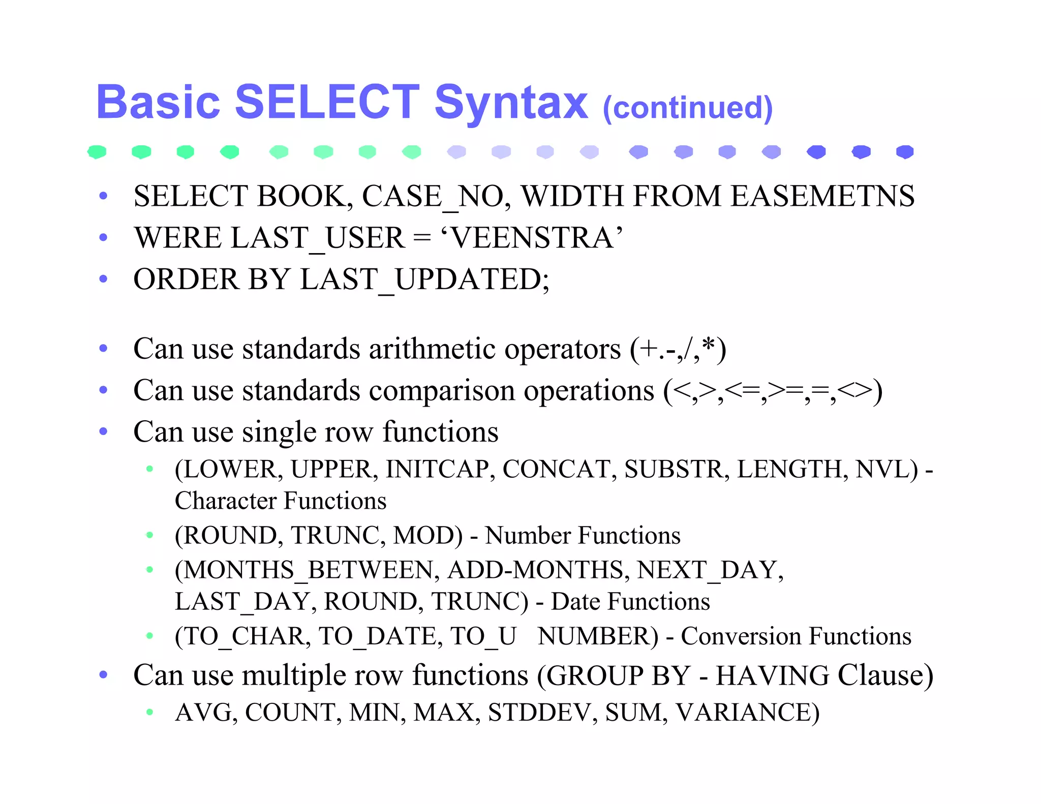
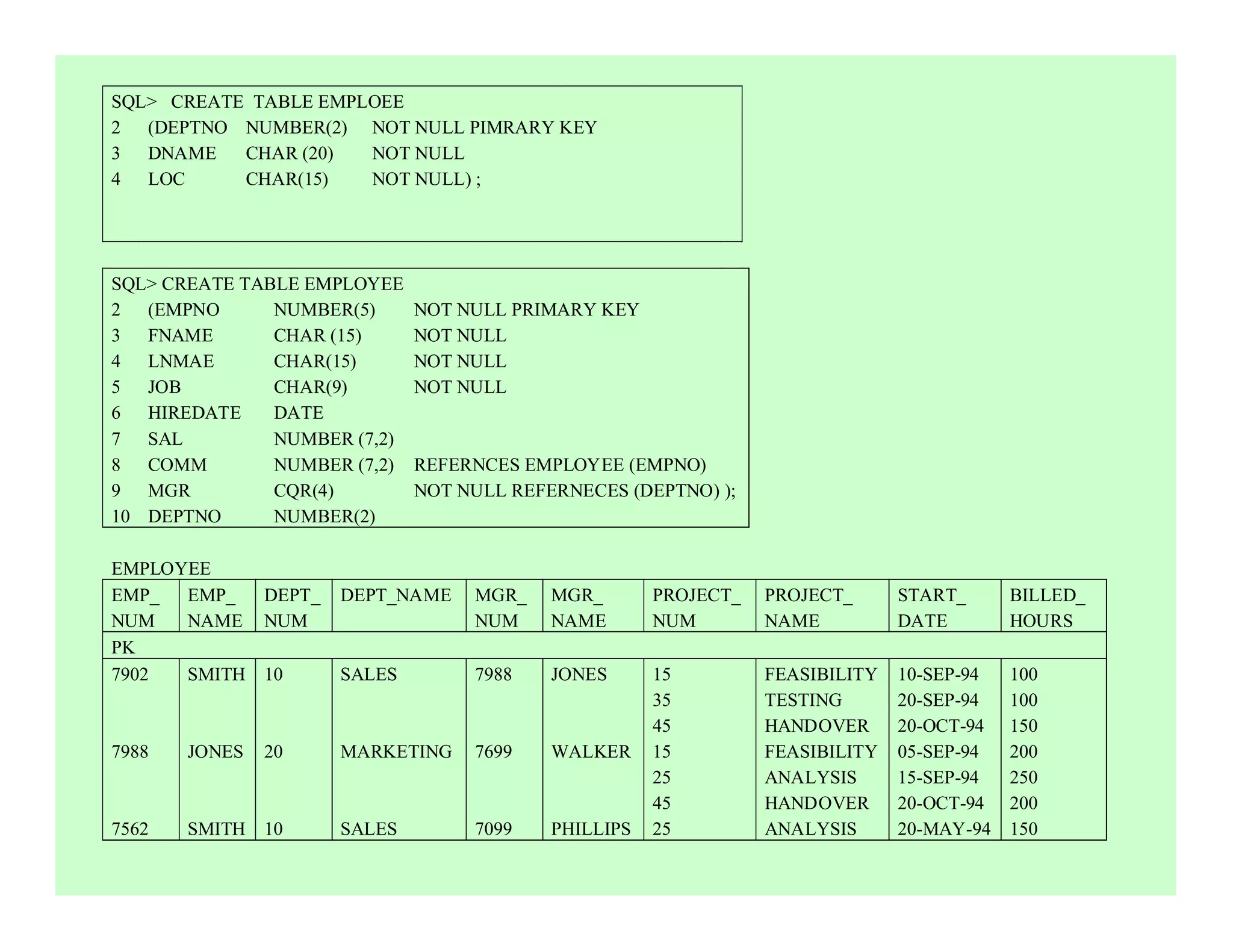
![Data Manipulation Language (DML)
• INSERT, UPDATE, DELETE
• used to add data to existing tables within a database or to
edit or remove existing data from within a database.
• INSERT INTO table [(column [, column…])]
• VALUES (value, [, value…]}];
• INSERT INTO table [(column [, column…])]
• Subquery;
• UPDATE table
• SET COLUMN = value[, column = value]
• [WHERE condition];
• DELETE [FROM} table
• [WHERE condition];](https://image.slidesharecdn.com/relational-110816081741-phpapp01/75/Relational-104-2048.jpg)