Downloaded 14 times

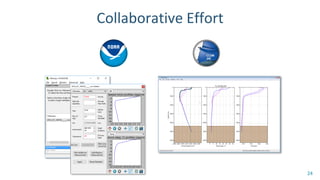
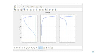


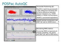

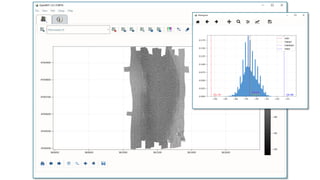
![Raw Data File
Caris SIPS
QPS FMGT
Ifremer SonarScope
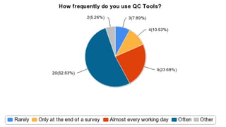
Beams
Pings
Pings
Pings
Beams
Beams
Reflectivity[dB]](https://image.slidesharecdn.com/ushydro2019pydroandhydroffice-190318185302/85/Pydro-HydrOffice-Open-Tools-for-Ocean-Mappers-108-320.jpg)
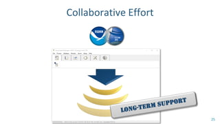
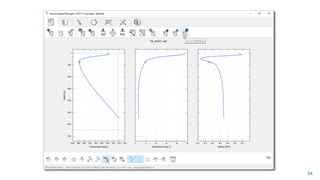
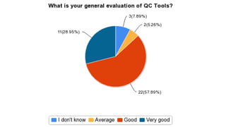
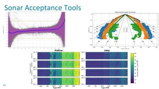
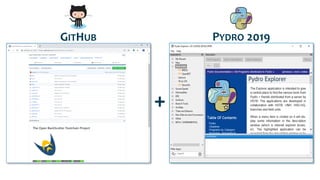
![Reflectivity[dB]
Average Initial Reflectivity per Beam NoData Values for Initial Reflectivity per Beam
Beams
Nr.ofValidData
Histogram of Initial Reflectivity per Beam
Reflectivity [dB]](https://image.slidesharecdn.com/ushydro2019pydroandhydroffice-190318185302/85/Pydro-HydrOffice-Open-Tools-for-Ocean-Mappers-109-320.jpg)

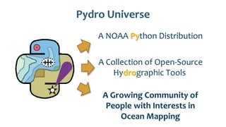
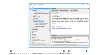
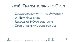
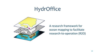
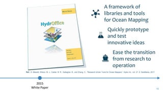
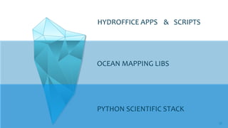
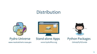
The document discusses Pydro and Hydroffice, two open-source tools developed for ocean mapping, focusing on their functionality, integration with various libraries, and the growing community of users. Pydro is a NOAA Python distribution that enables the development of hydrographic applications, while Hydroffice provides a framework for transitioning research into operational tools. It highlights several applications, including sound speed management and chart adequacy tools, alongside the importance of collaboration and accessibility in oceanographic research.