Download to read offline
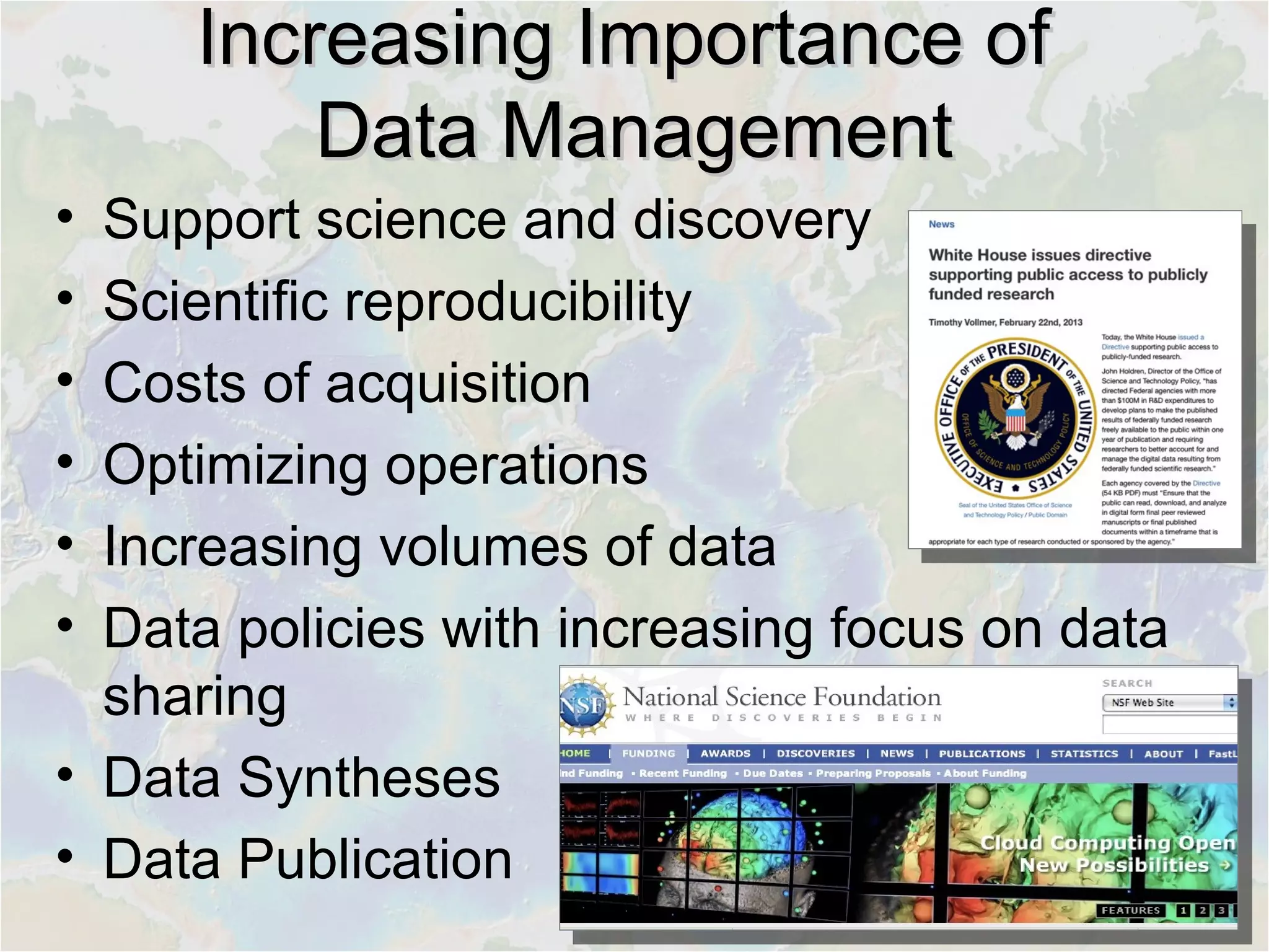
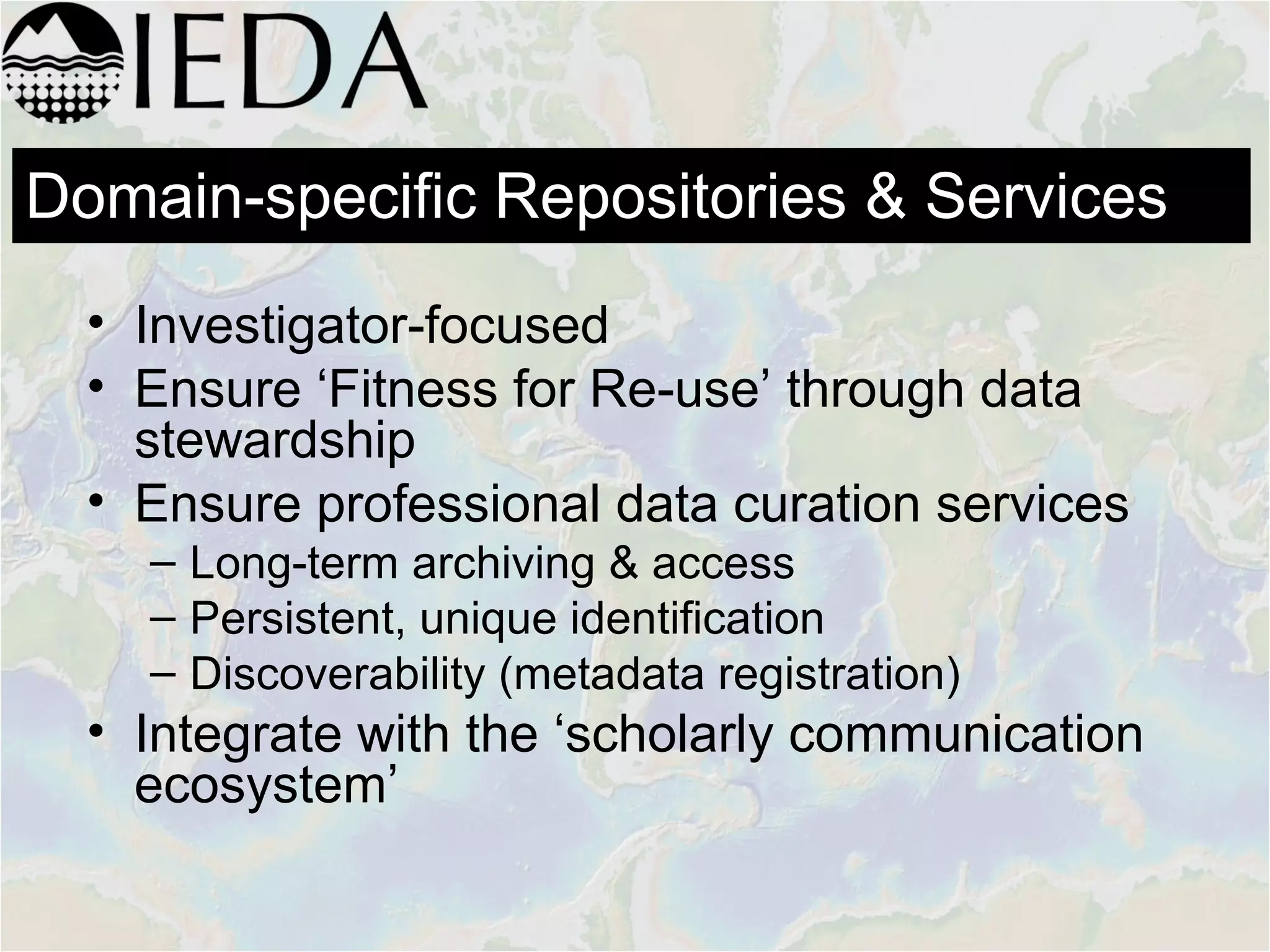
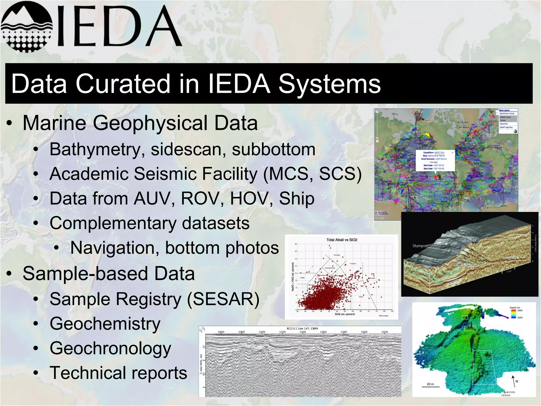
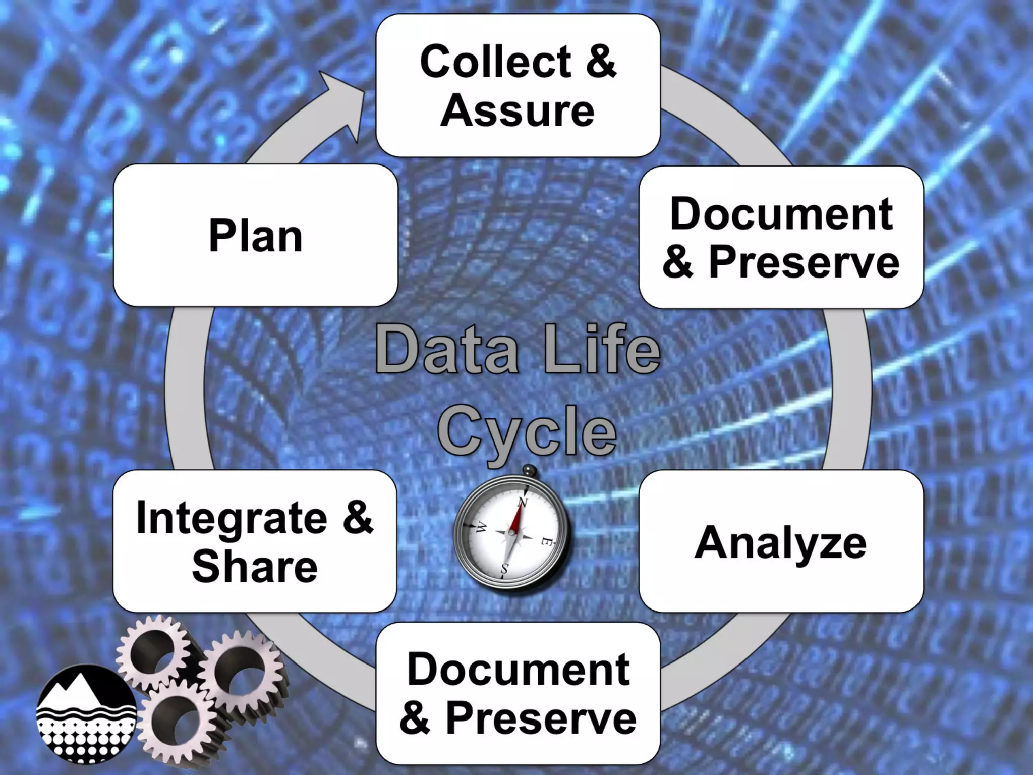
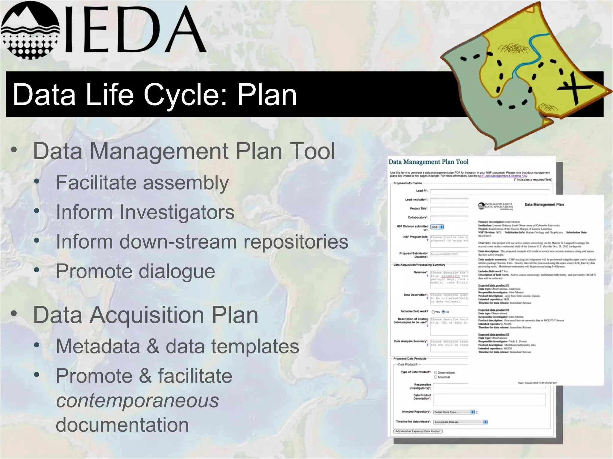
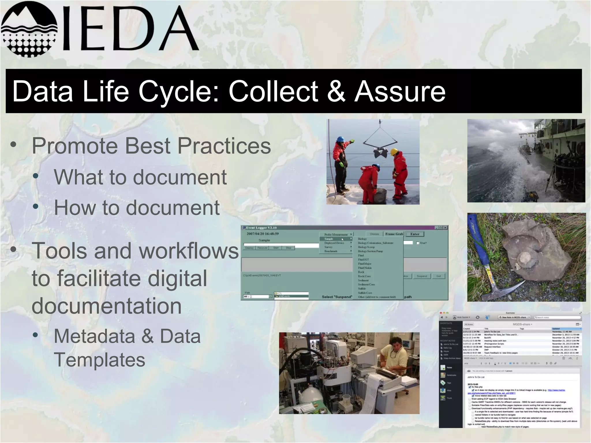
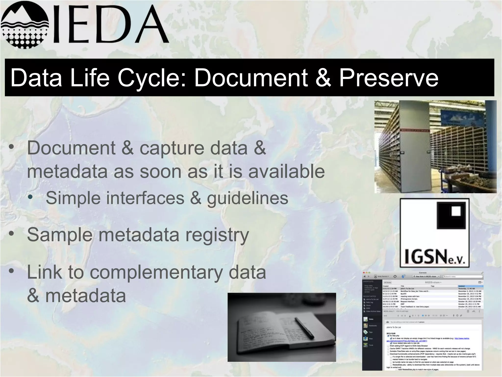
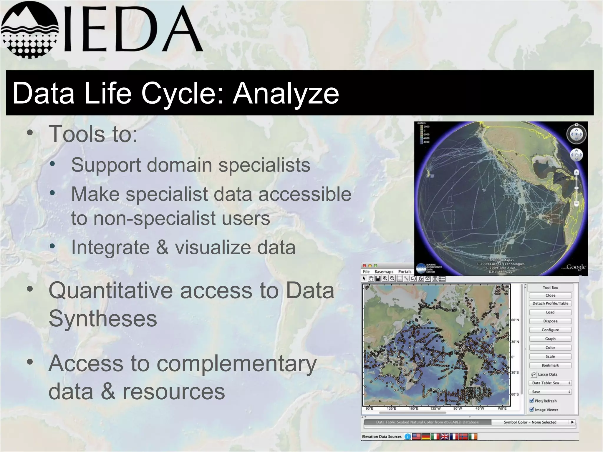
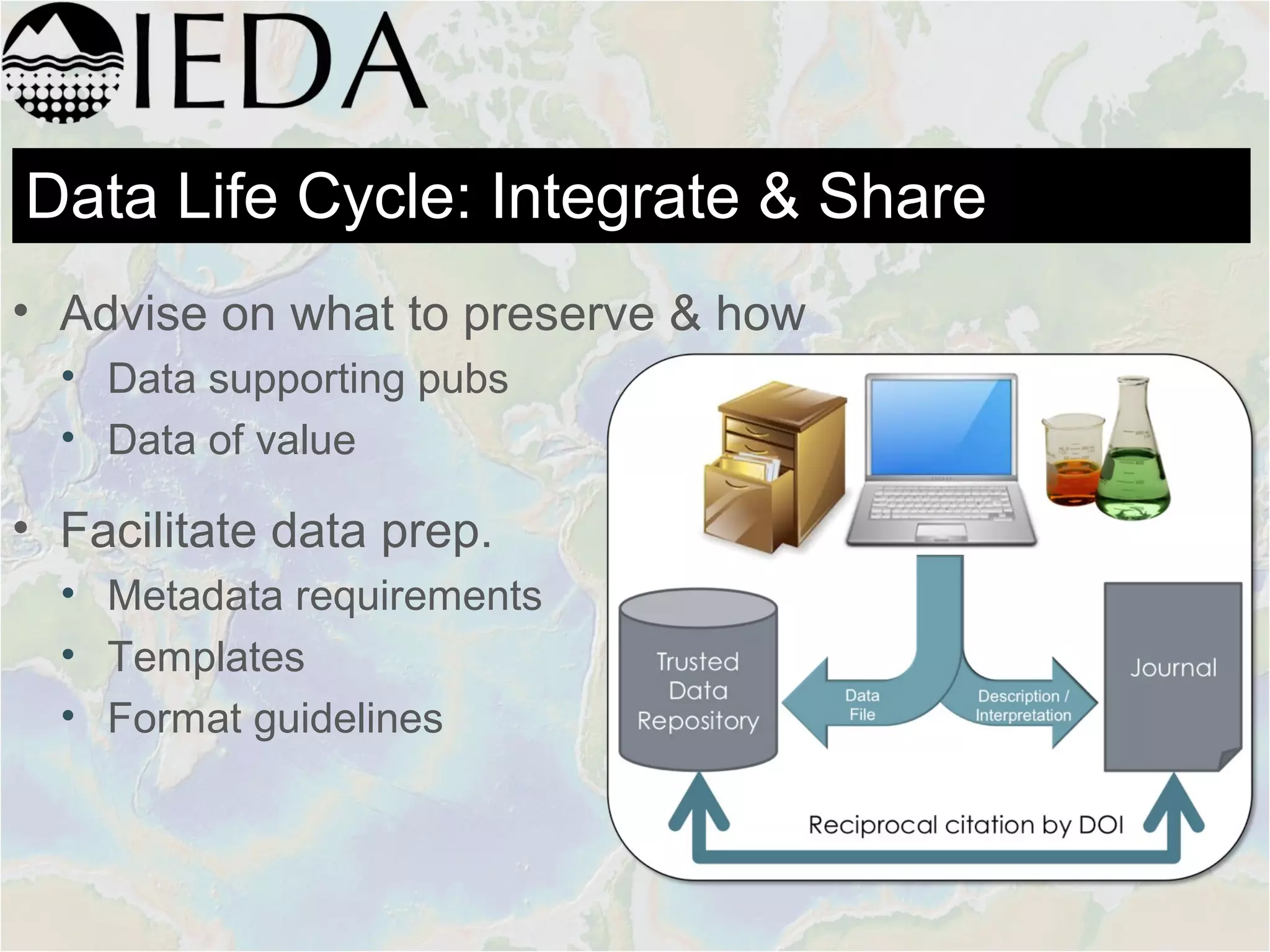
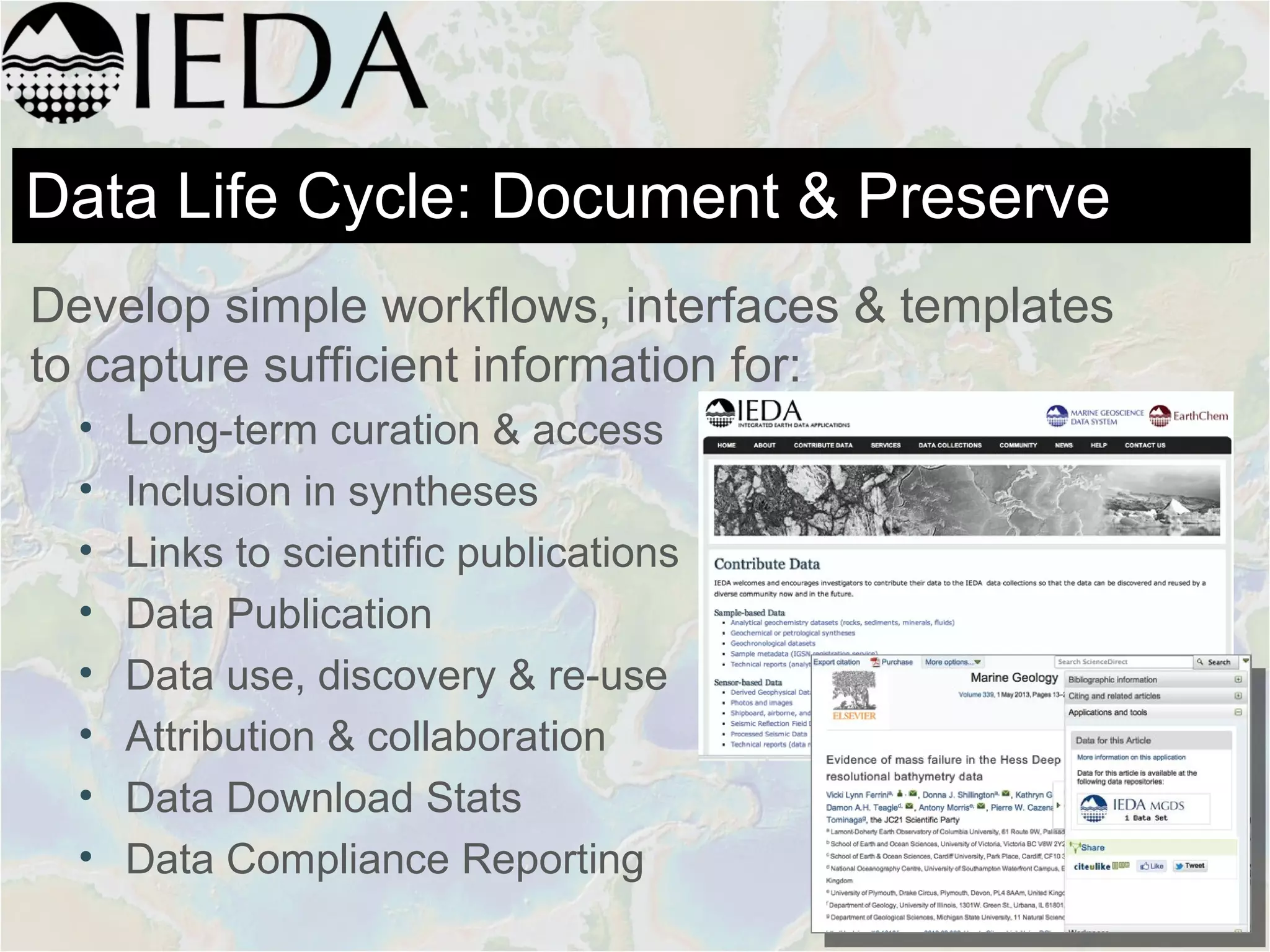
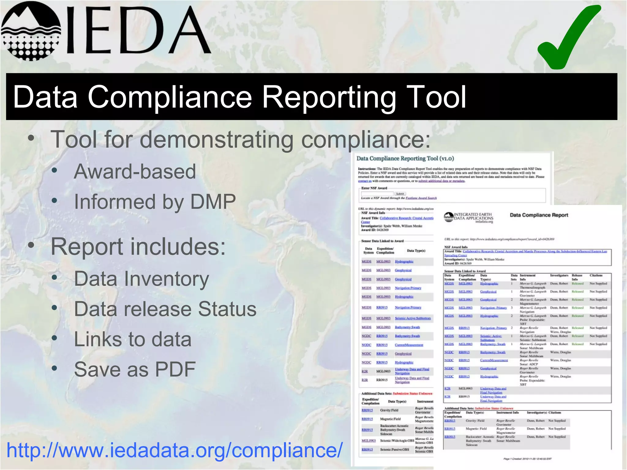

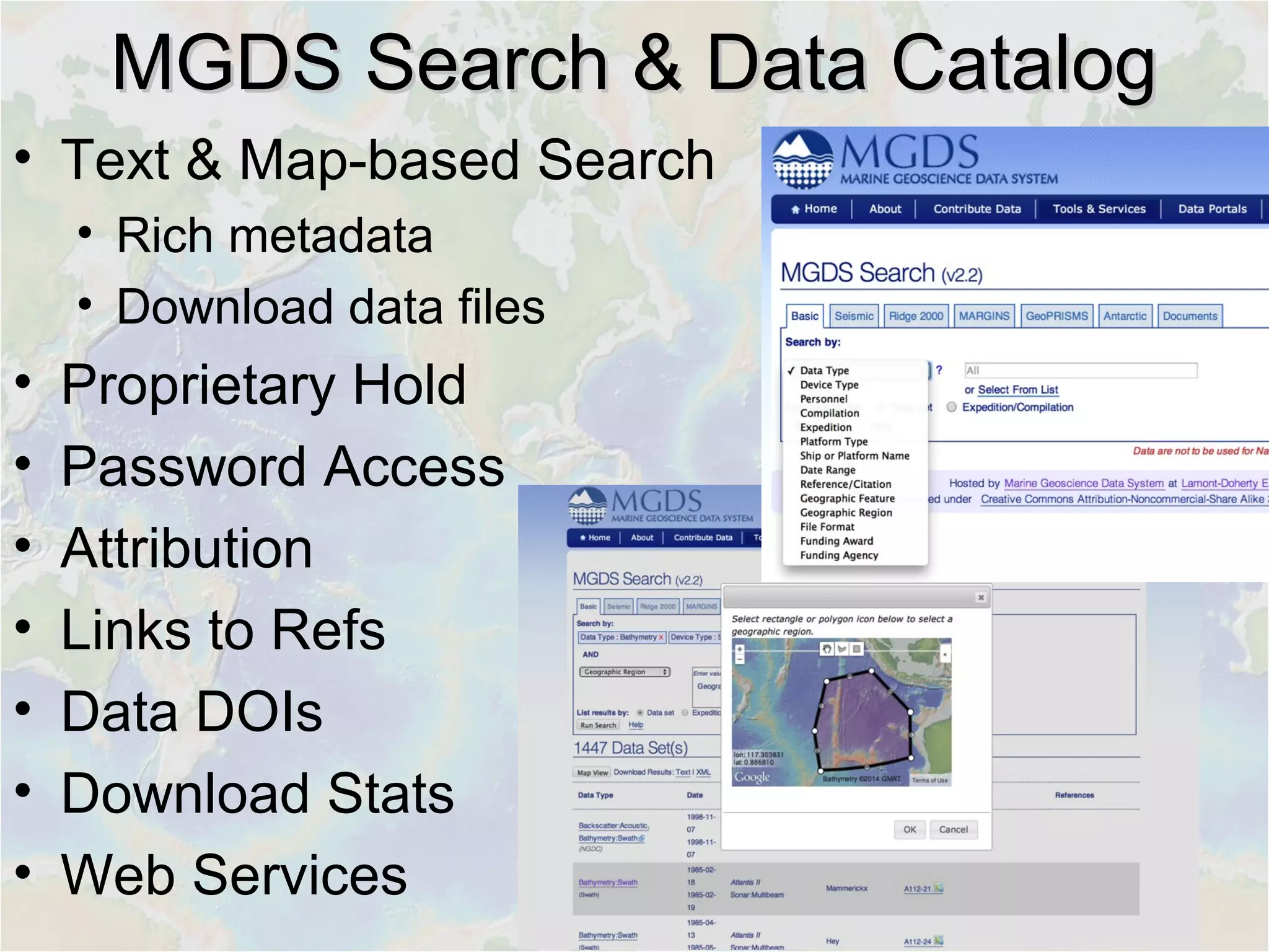
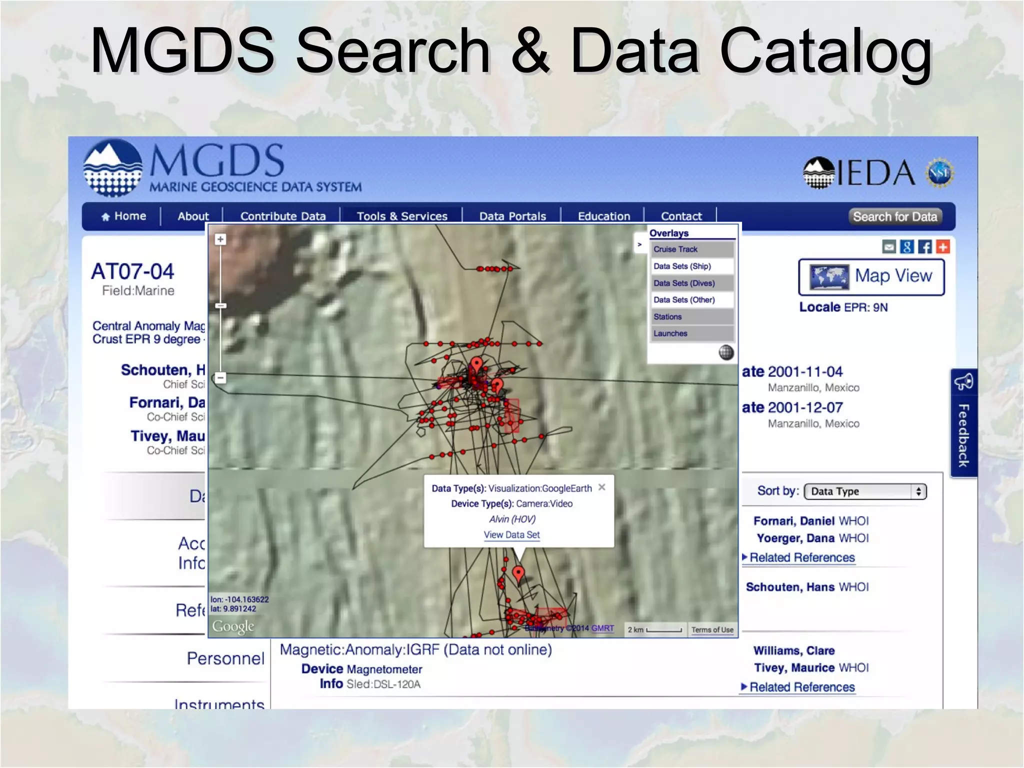
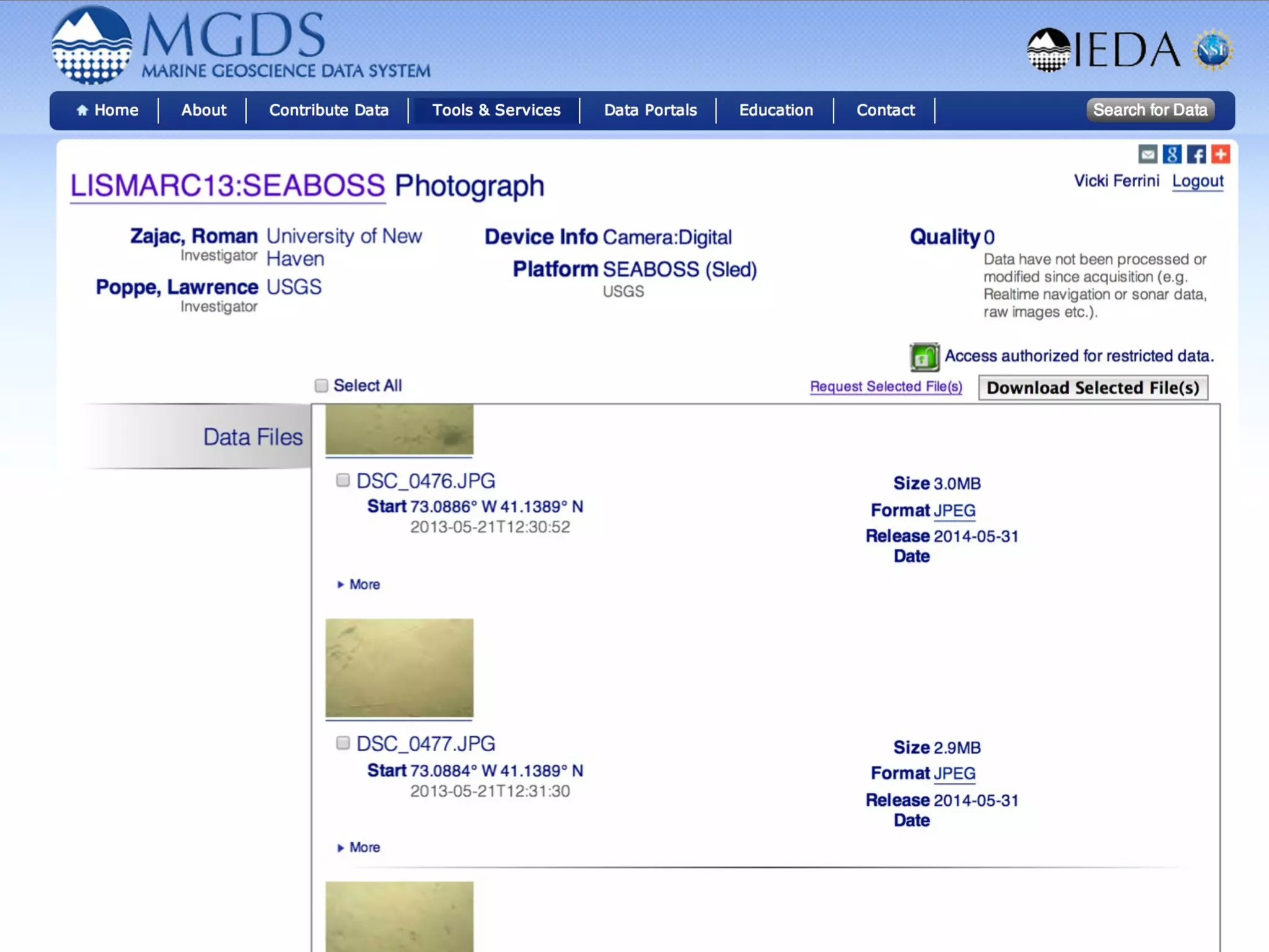
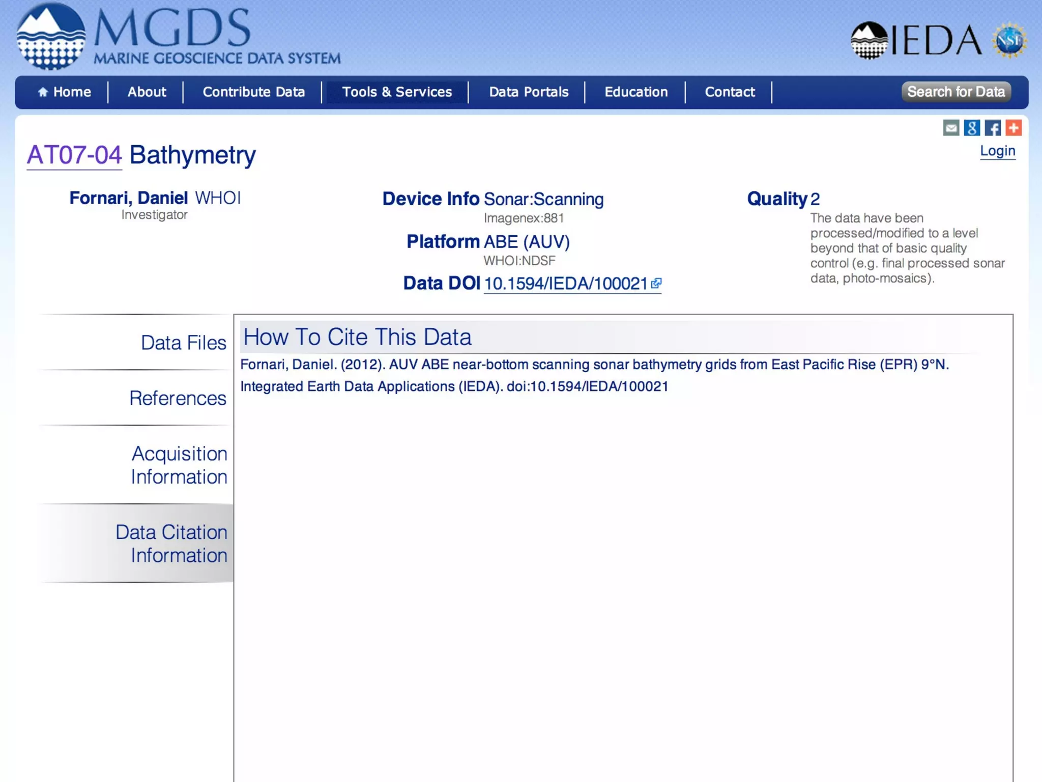
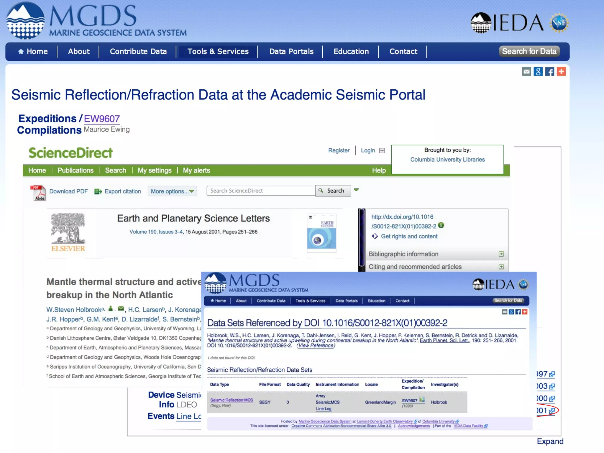
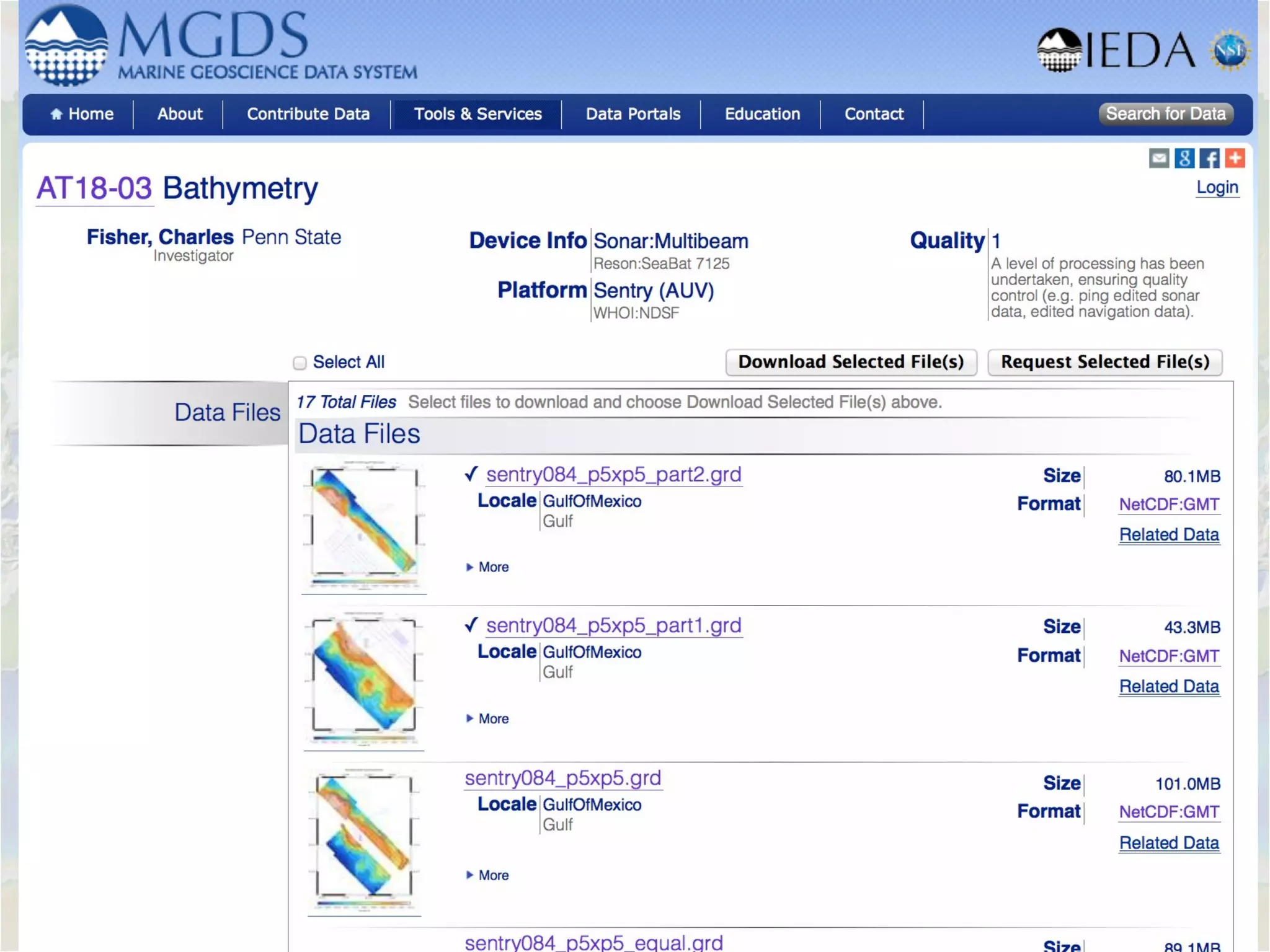
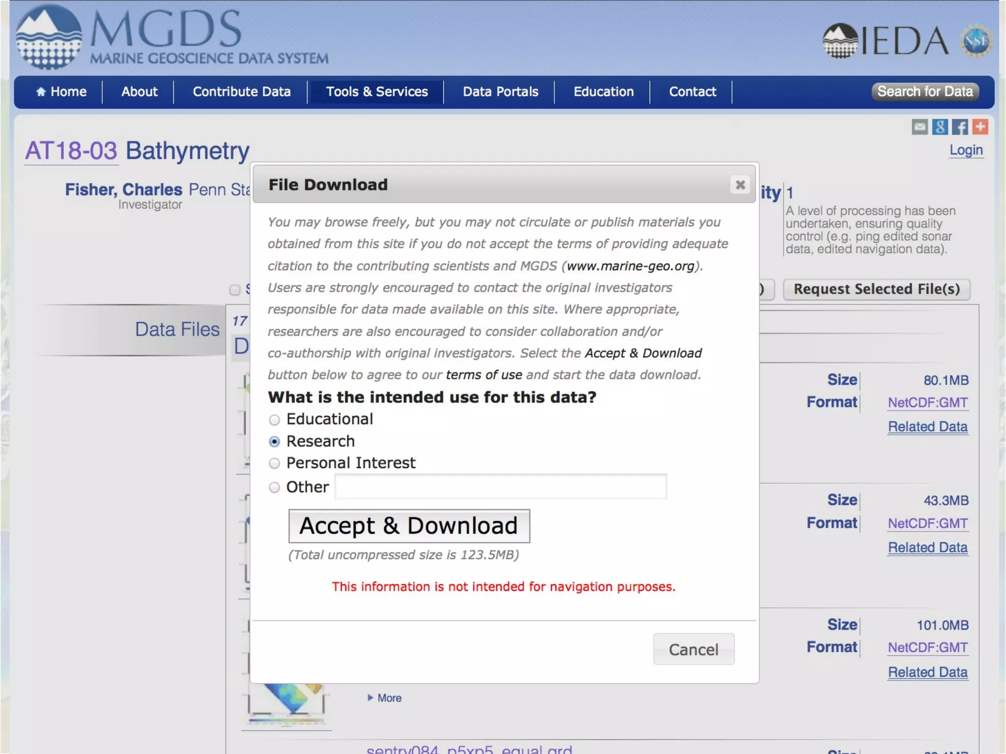
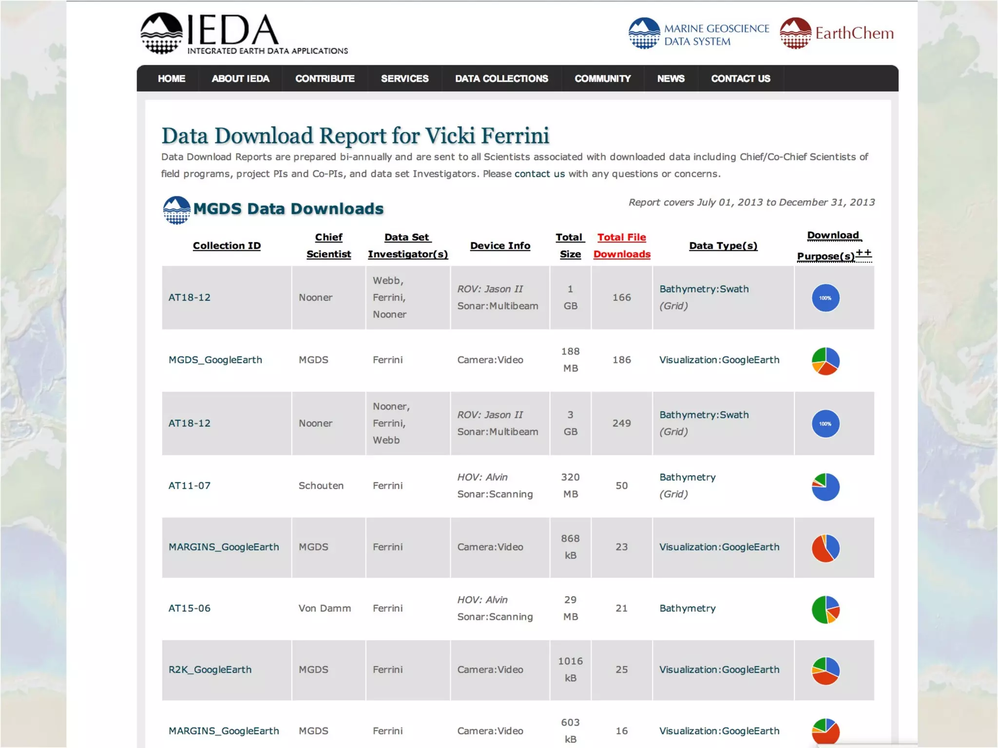

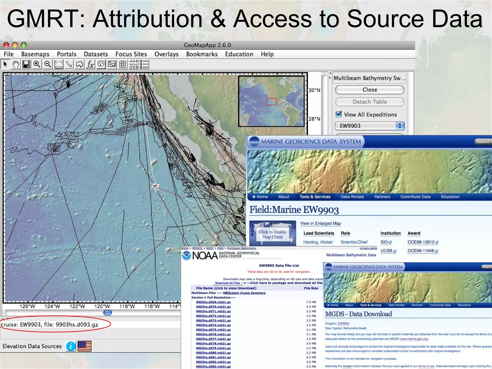
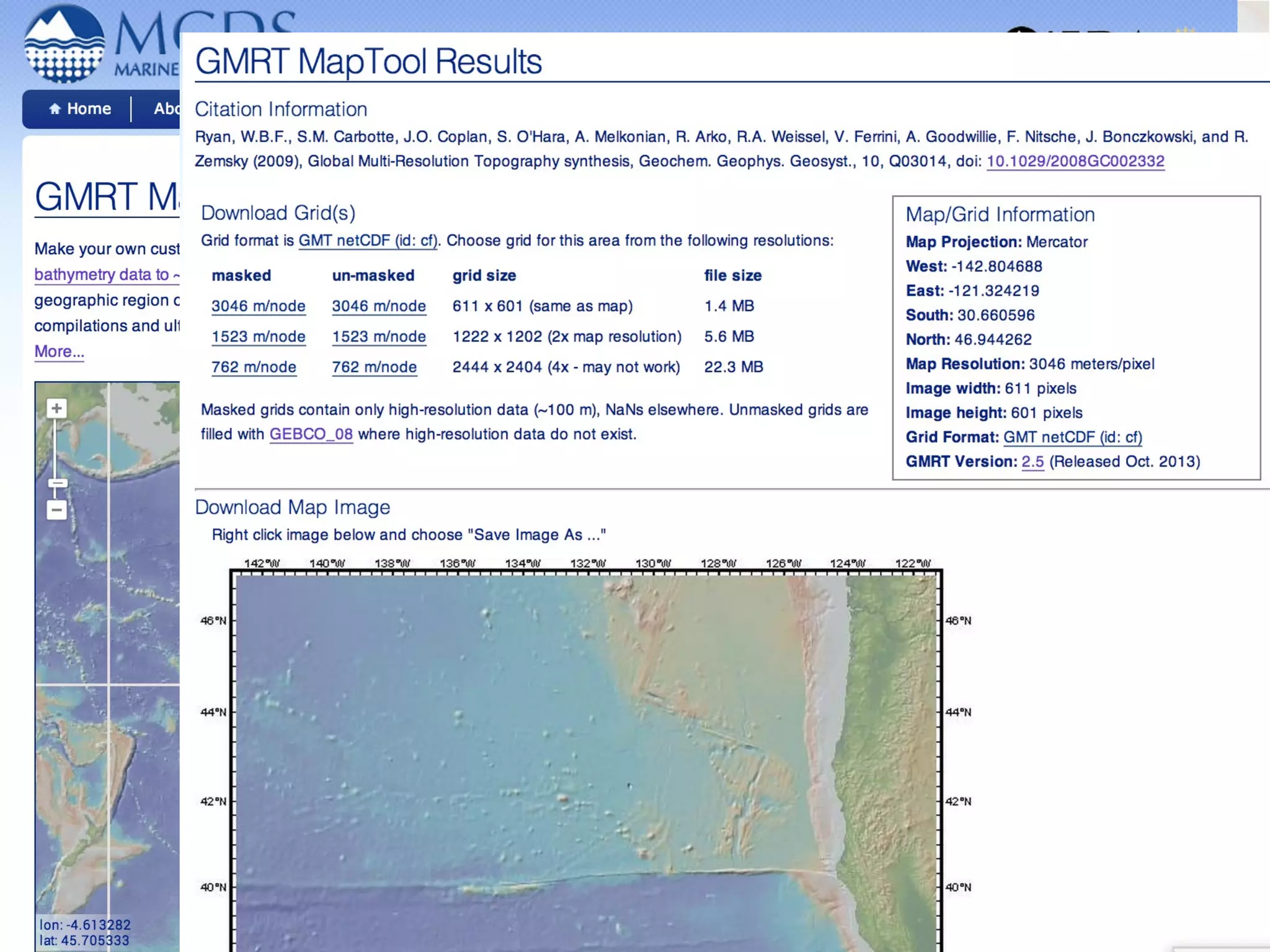
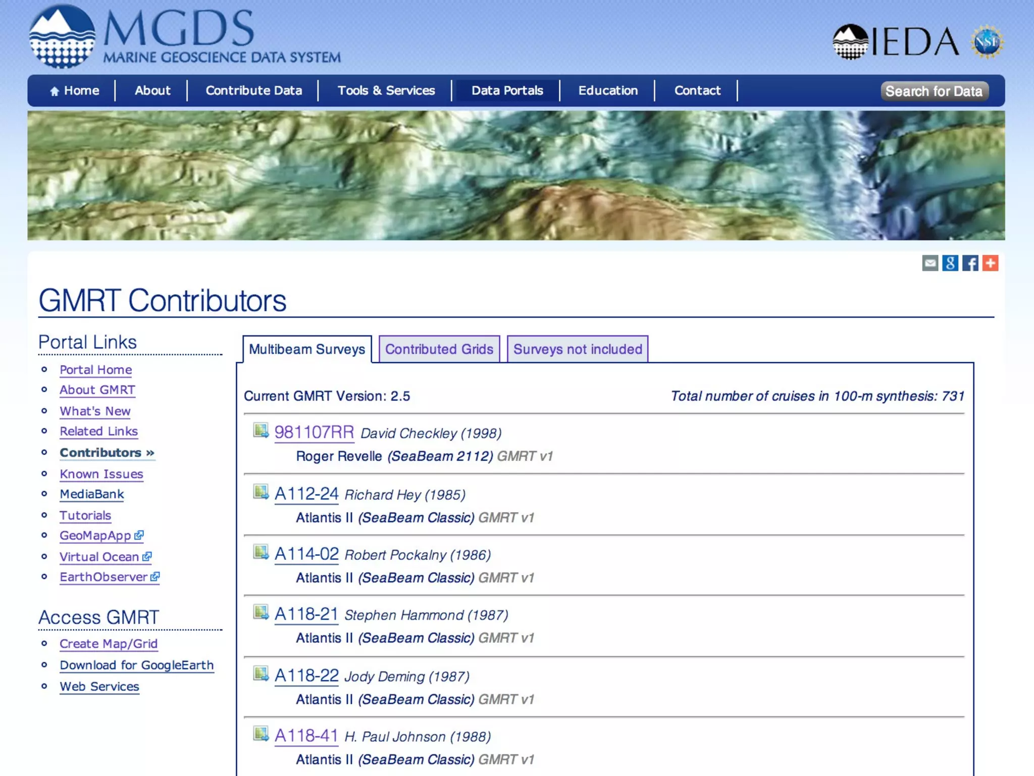
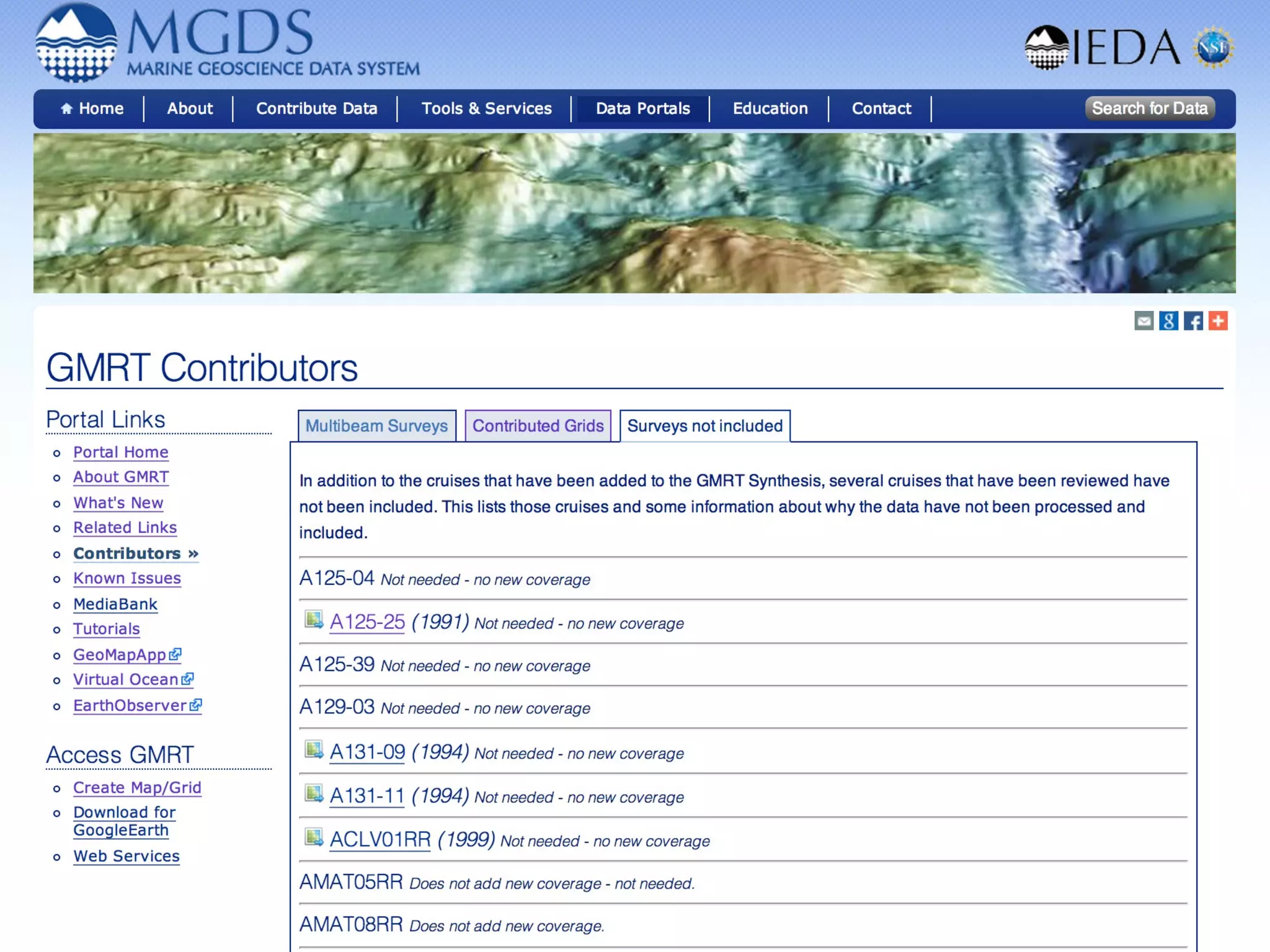

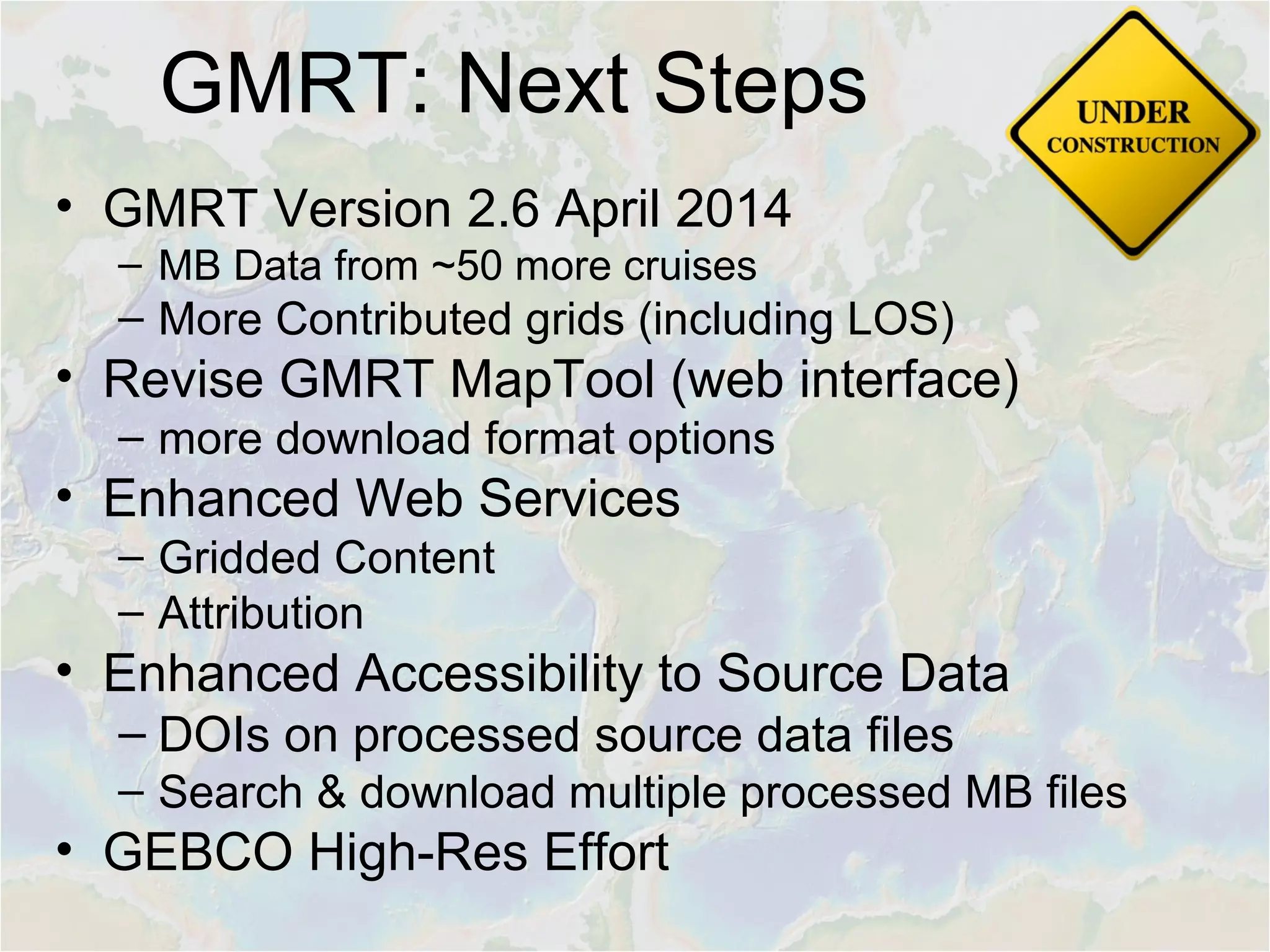
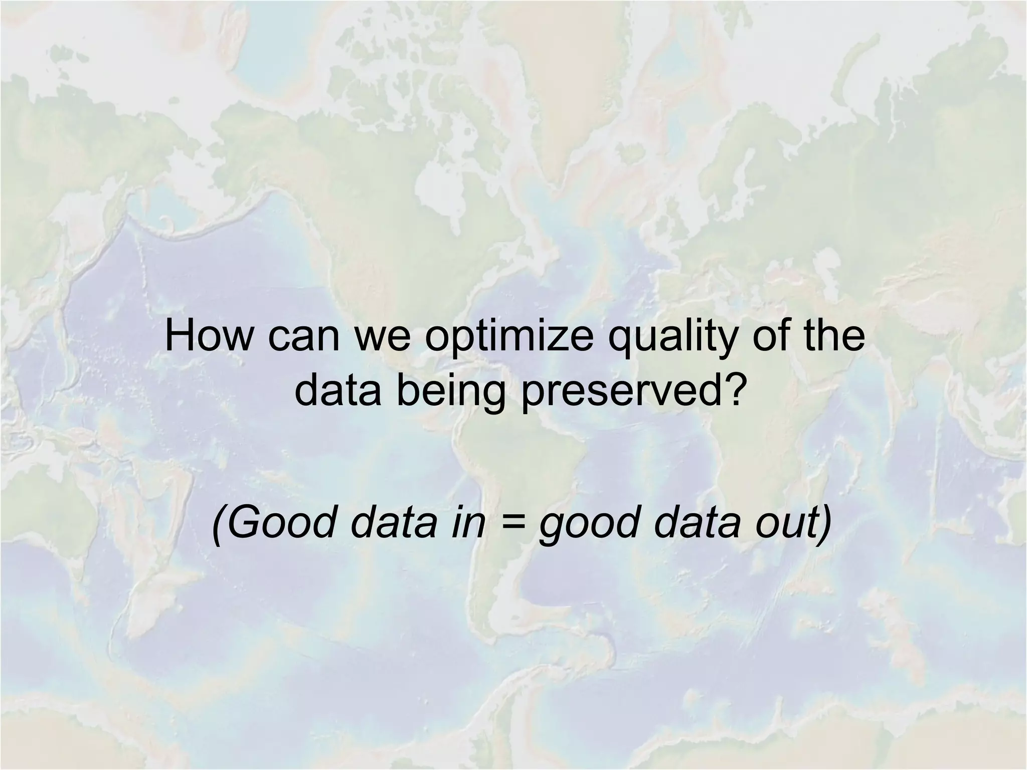
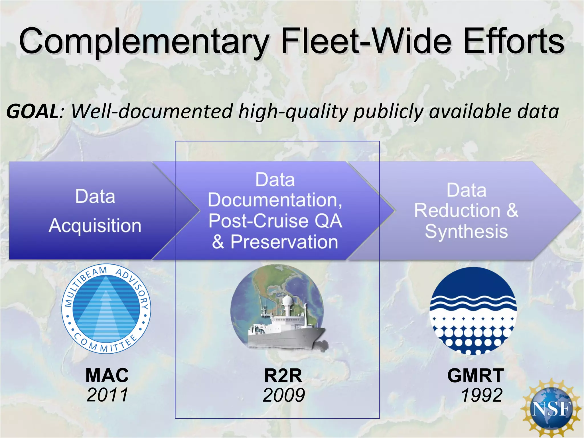
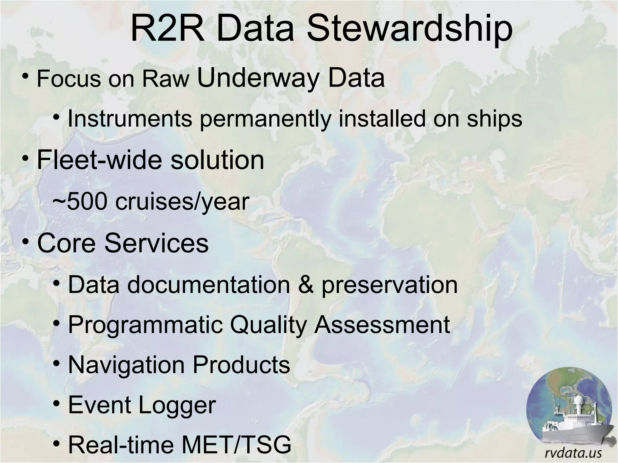
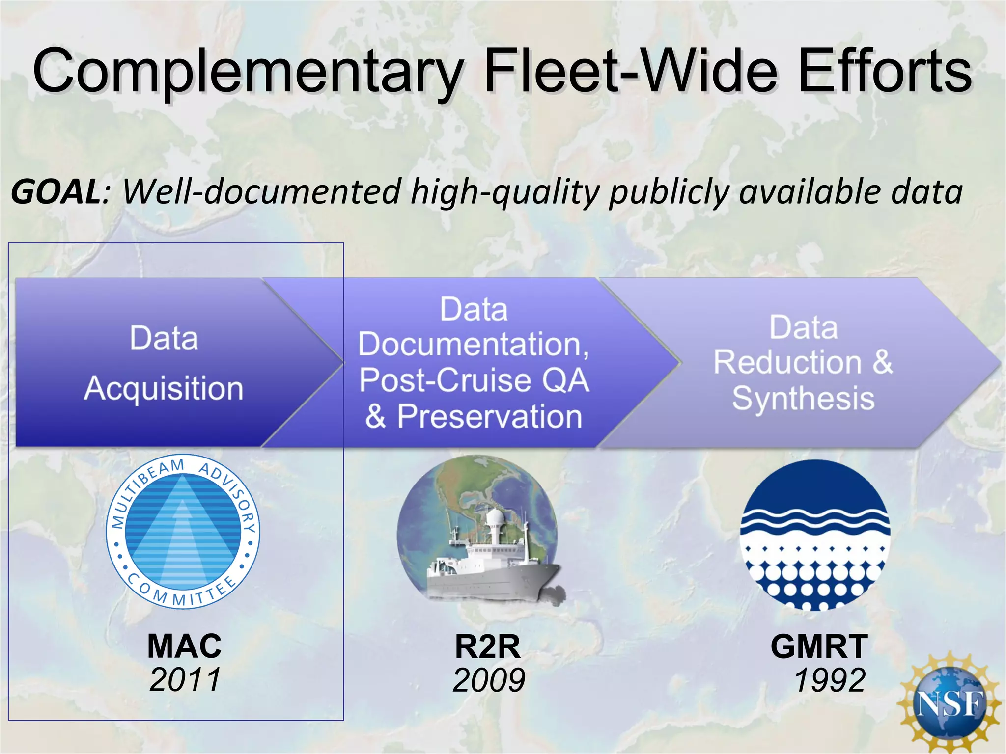
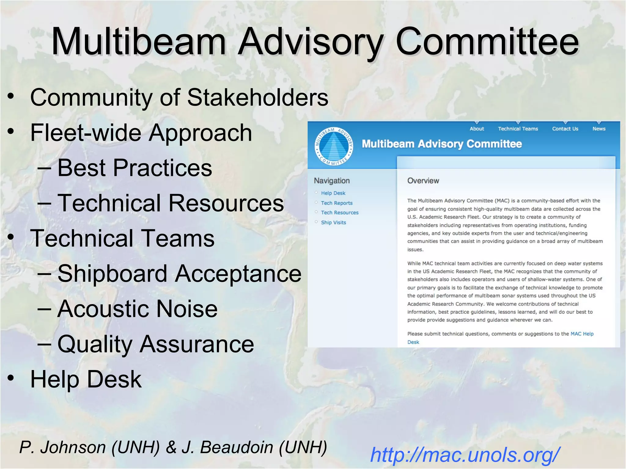
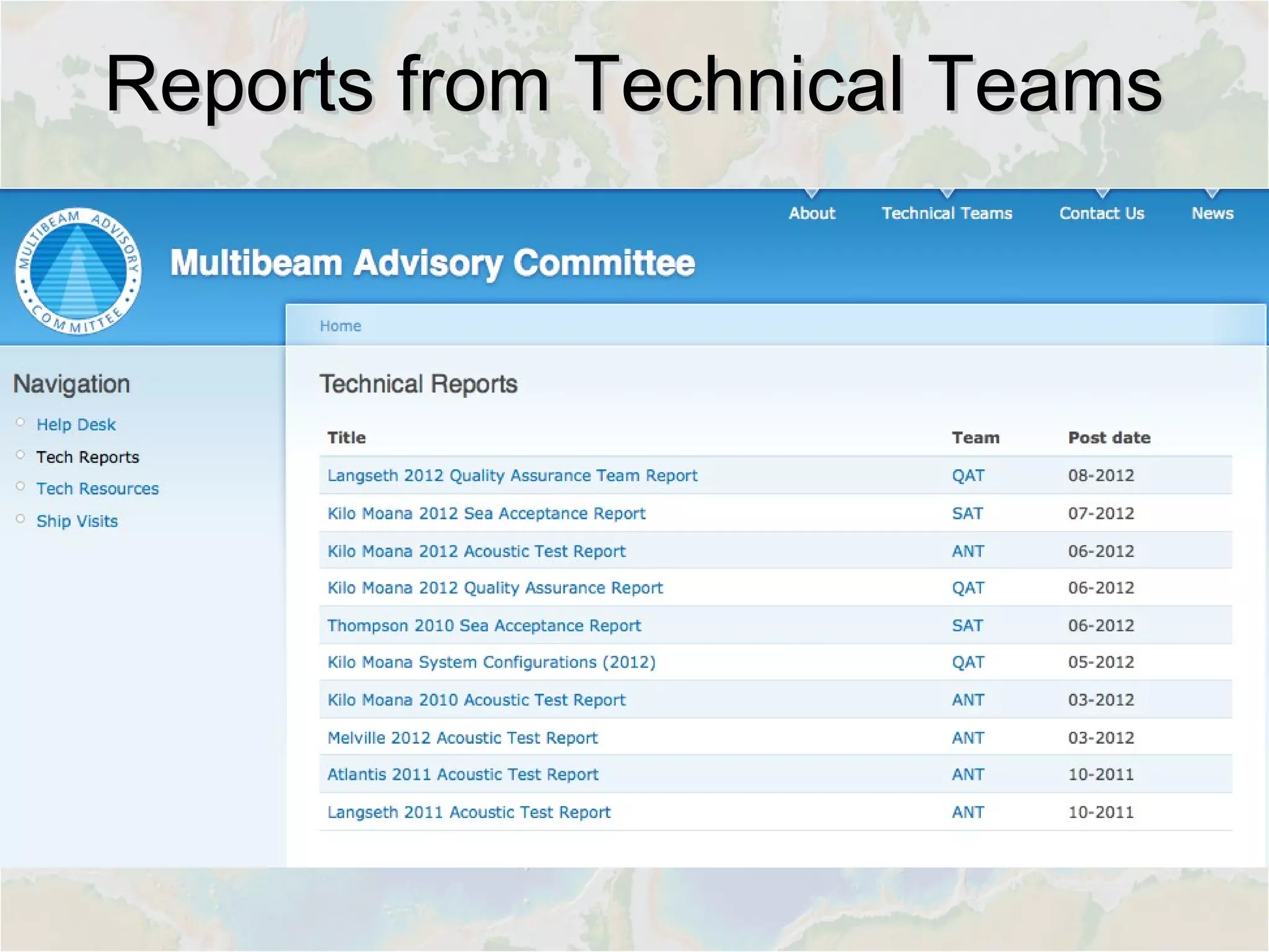
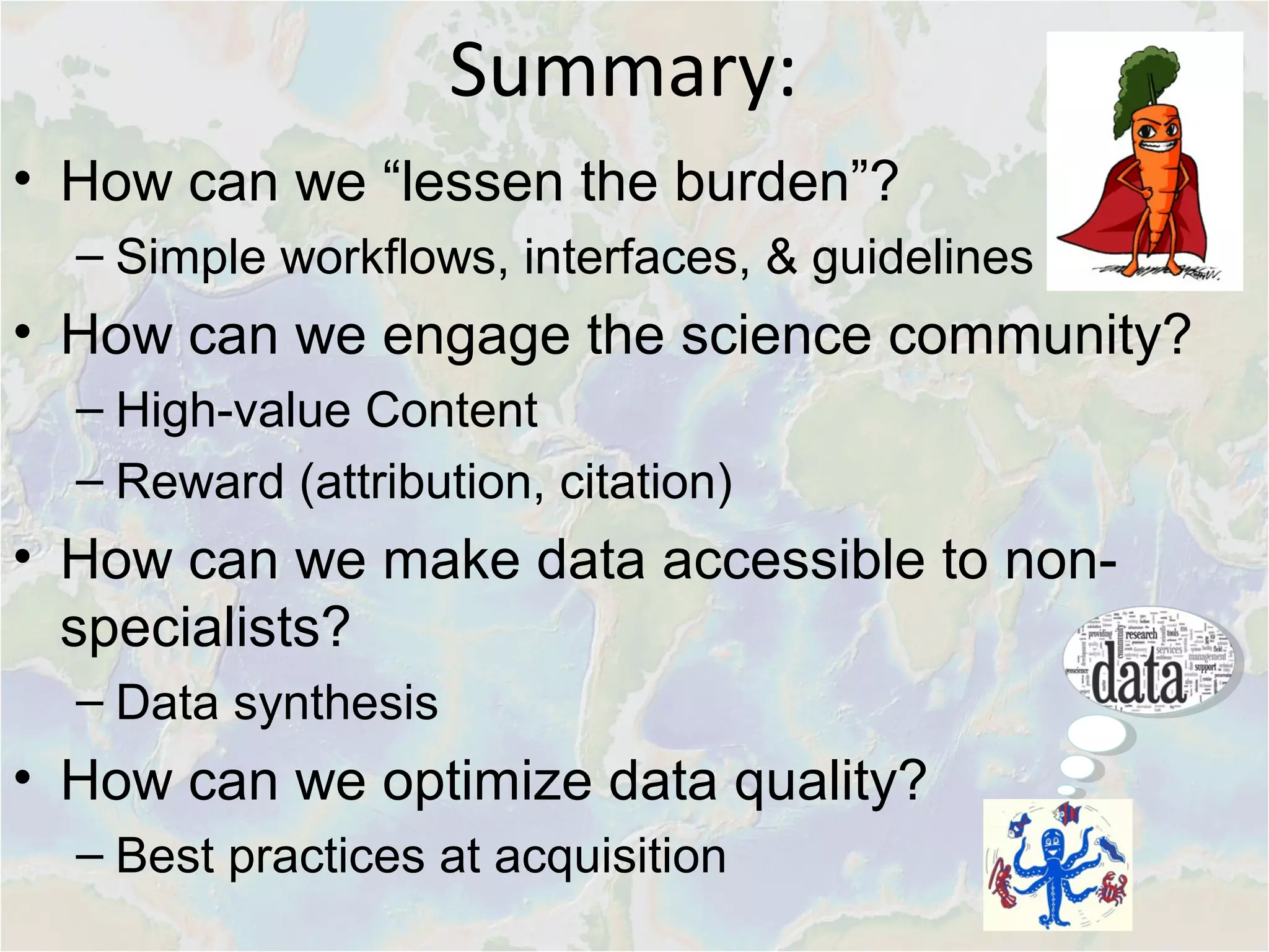
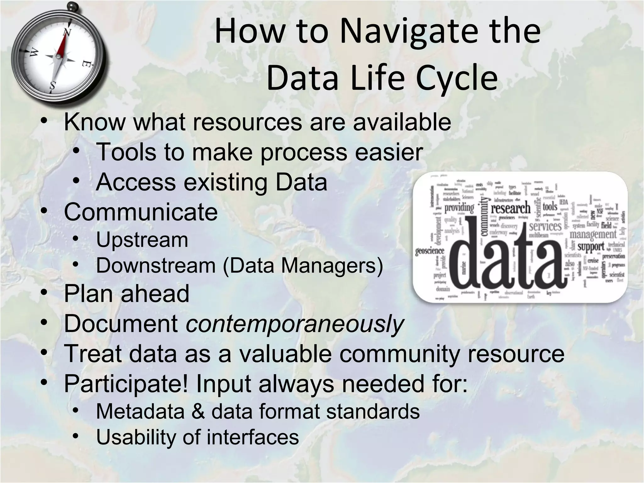

The document outlines the marine geophysical data life cycle, emphasizing the importance of data management, accessibility, and quality throughout various stages from acquisition to publication. It describes community-driven initiatives, such as data services provided by NSF-funded facilities, and tools aimed at improving data usability for scientists and non-specialists alike. Key strategies include best practices for documentation, metadata management, and fostering collaboration within the scientific community.


