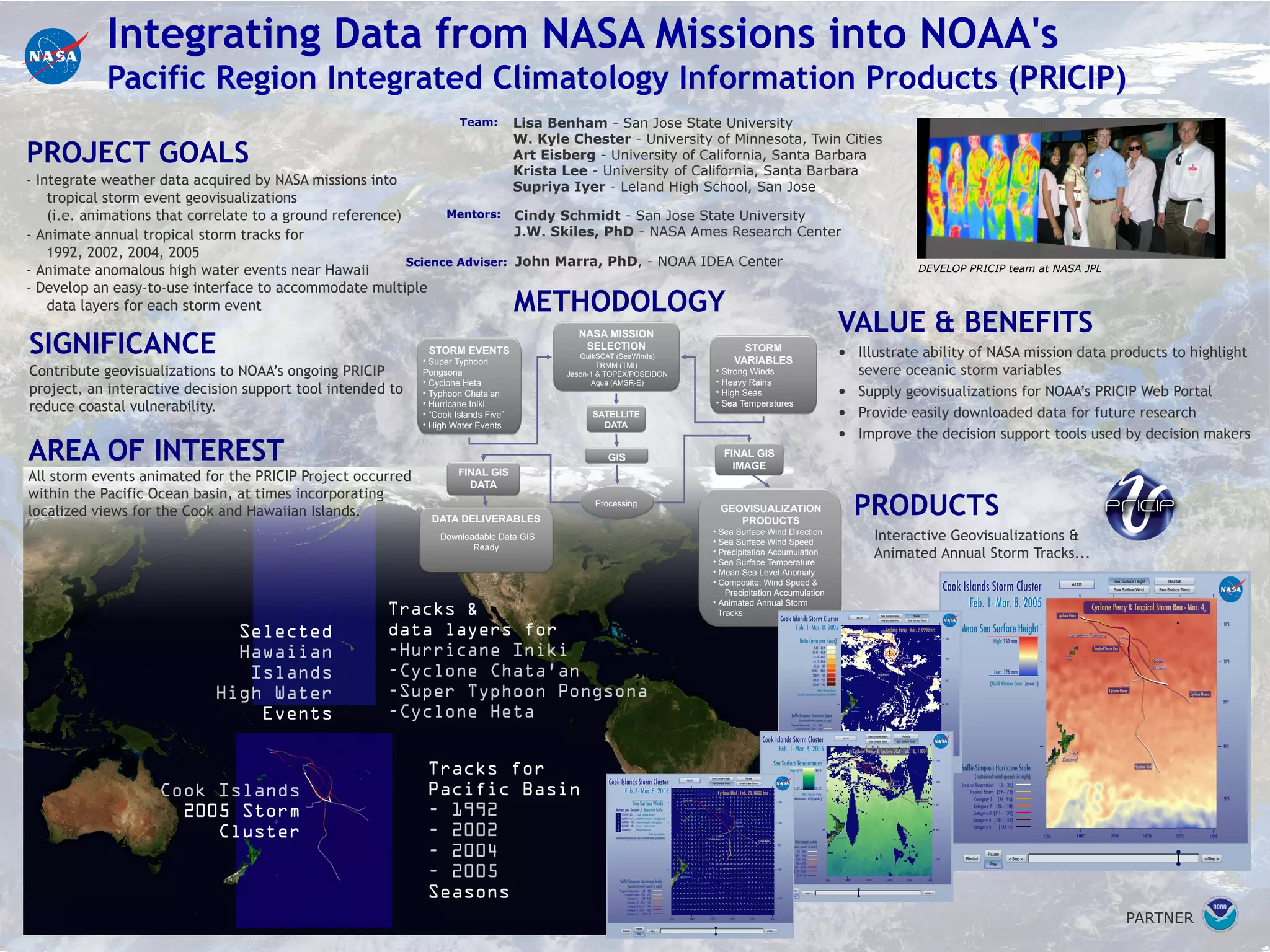
The project aims to integrate weather data from NASA missions into NOAA's Pacific Region Integrated Climatology Information Products project. Specifically, the goals are to 1) animate annual tropical storm tracks for 1992, 2002, 2004, 2005 and anomalous high water events near Hawaii, and 2) develop an easy-to-use interface incorporating multiple data layers for each storm event. The area of interest is the Pacific Ocean basin, sometimes focusing on the Cook and Hawaiian Islands. The significance is to contribute geovisualizations to NOAA's decision support tool to reduce coastal vulnerability. Products include interactive geovisualizations and animated annual storm tracks using data from NASA missions like QuikSCAT, TRMM, Jason-1