Download to read offline
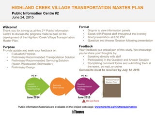
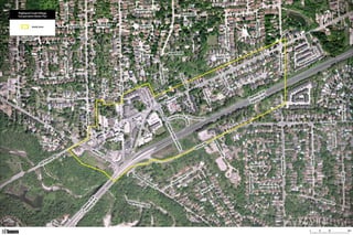
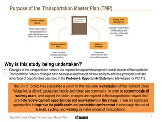
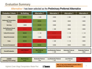
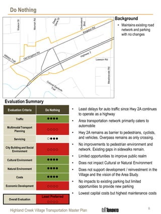
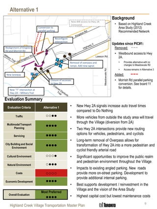
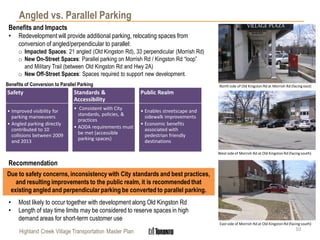
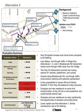
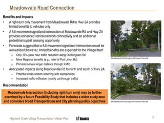
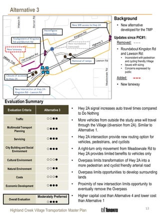
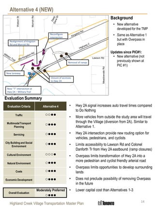
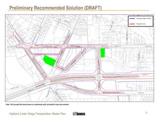
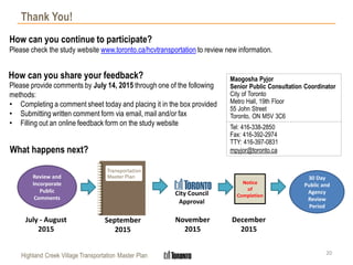

The document summarizes the Highland Creek Village Transportation Master Plan Public Information Centre #2, which sought feedback on the evaluation process, preliminary recommended transportation and servicing solutions, and preliminary design. Attendees could view information panels, speak with project staff, and participate in a presentation and question/answer session. Alternative 1 has been selected as the preliminary preferred alternative because it best supports improvements to multimodal transportation, the public realm, and economic development, while having moderate impacts on other criteria. It involves new intersections on Highway 2A with signals and the removal of the existing overpass.


