Download to read offline
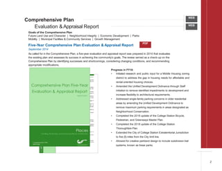
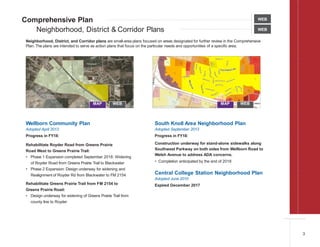
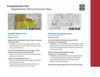
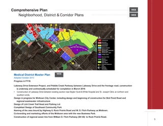
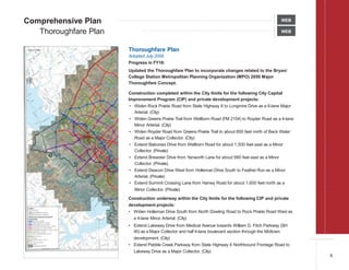
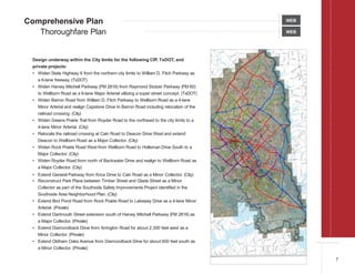
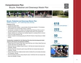

The document provides an annual review of initiatives related to College Station's Comprehensive Plan, including updates to various master plans covering topics such as neighborhoods, transportation, parks, utilities, and economic development. Key accomplishments in 2018 involved advancing projects identified in the plans, such as expanding trails and sidewalks, rehabilitating infrastructure in older areas, and extending utilities to serve future growth.