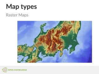
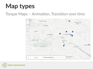
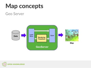
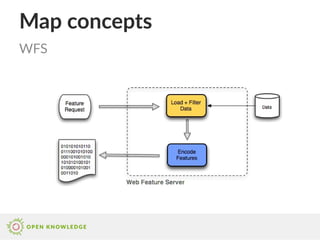
This document provides an overview of map concepts, types, description standards, providers, styling, interaction, data sources, and tools. It discusses key map elements like points, lines, polygons, projections and layers. It also summarizes common map formats, styling approaches, integration libraries, and sources for geocoding and mapping data.

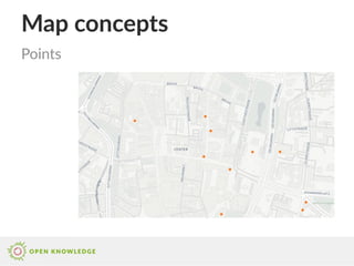
![Map concepts
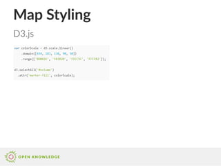
{
"type": "Feature",
"properties": {
"name": "Oper",
"url": "www.oper-leipzig.de/",
...
},
"geometry": {
"type": "Point",
"coordinates": [
12.381291389465332,
51.34005275863635
]
}
}
Features](https://image.slidesharecdn.com/maptechnologies-170209215027/85/Map-technologies-2-320.jpg)
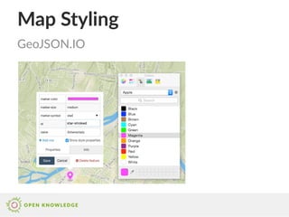
![Map description standards
{
"type": "FeatureCollection",
"features": [
{
"type": "Feature",
"properties": {
"name": "Oper",
"url": "www.oper-leipzig.de/"
},
"geometry": {
"type": "Point",
"coordinates": [
12.381291389465332,
51.34005275863635
]
}
}, ...
GeoJSON](https://image.slidesharecdn.com/maptechnologies-170209215027/85/Map-technologies-28-320.jpg)

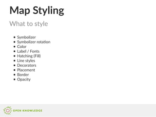
![Map Styling
Mapbox GL JS Style API
visited.countries.forEach(function(country) {
var id = country.name.replace(' ', '-').toLowerCase();
var countryLayer = {
"id": id,
"type": "fill",
"source": "countries",
"source-layer": "countries",
"filter": ["==", "name", country.name],
"paint": {
"fill-color": "rgba(241,163,64," + alphaForYear(country.last) + ")"
},
"interactive": true
};
countryLayer["paint.selected-" + id] = {
"fill-color": "red"
};
style.layers.splice(3, 0, countryLayer);
});](https://image.slidesharecdn.com/maptechnologies-170209215027/85/Map-technologies-46-320.jpg)