Downloaded 319 times

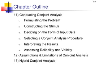

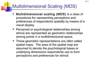
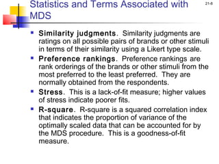
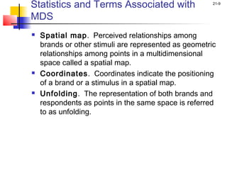
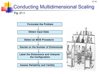

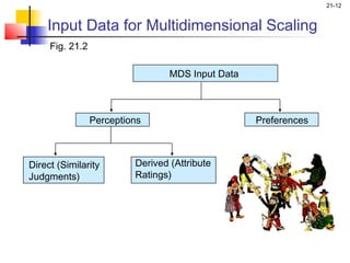
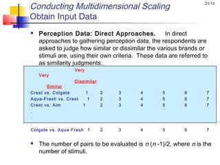

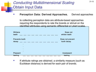
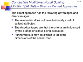
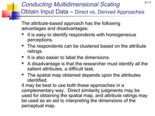
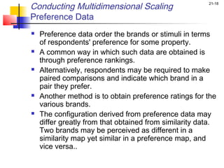
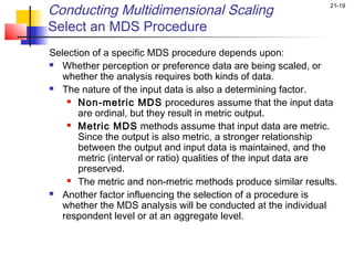
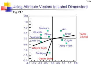
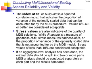
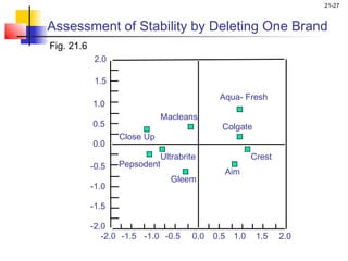
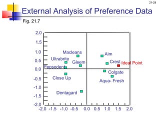
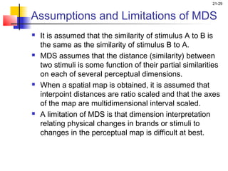
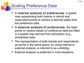
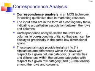


This chapter discusses multidimensional scaling (MDS) and conjoint analysis. It outlines the key steps in conducting MDS, including formulating the problem, obtaining input data through direct or derived approaches, selecting an MDS procedure, deciding on the number of dimensions, interpreting and labeling the dimensions of the spatial map, and assessing reliability and validity. It also covers assumptions, limitations, and the basic concepts of conjoint analysis.


