Download as PDF, PPTX

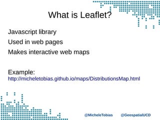
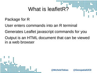
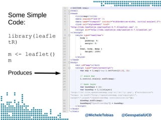


This document summarizes Leaflet and leafletR, a package for R that generates Leaflet JavaScript commands to create interactive web maps. It discusses that Leaflet is a JavaScript library for web maps, leafletR allows users to enter R commands and generates the corresponding Leaflet code to an HTML file viewed in a browser, and provides examples of simple code usage and data types like GeoJSON that can be used.


![7.__Developing_a_Research_Proposal[1].pptx](https://cdn.slidesharecdn.com/ss_thumbnails/7-260131073037-df92dd7d-thumbnail.jpg?width=640&height=640&fit=bounds)
![Hacking-Uncovered-How-People-Get-Hacked-and-How-to-Stay-Safe[1].pptx](https://cdn.slidesharecdn.com/ss_thumbnails/hacking-uncovered-how-people-get-hacked-and-how-to-stay-safe1-260130170011-4883a9c7-thumbnail.jpg?width=640&height=640&fit=bounds)

