Downloaded 15 times


![GIS Life Cycle: Data Transfer
• Data Structures: Methods of representing the data model
from w/in the computer
– Vector [Arc/Nodes] Data Structures
– Raster [Grid] Data Structures](https://image.slidesharecdn.com/gis-160910151326/85/Gis-23-320.jpg)
![GIS Life Cycle: Data Analysis
Spatial Data: Geographically referenced data, identified according to
Location.
Points Lines Polygons
Non-Spatial [Attribute Data ]: The attributes refer to the properties of spatial
entities.
Spatial Data
Community-
developed data
sets
Framework Data
sets](https://image.slidesharecdn.com/gis-160910151326/85/Gis-24-320.jpg)

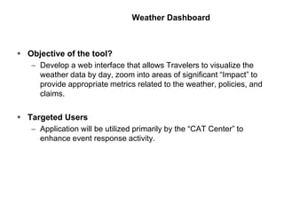
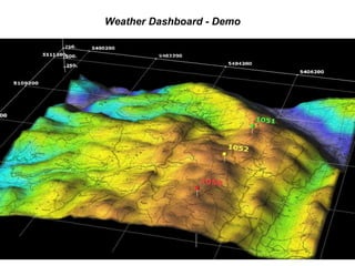
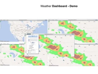


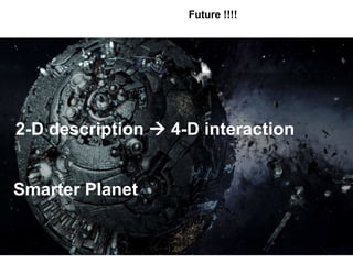


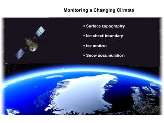
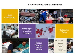
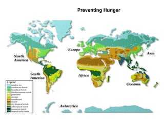
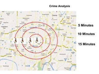
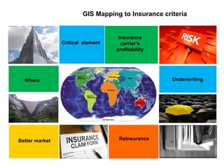
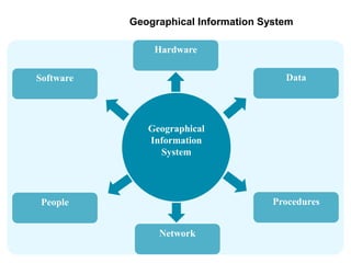
1) Geographic Information Systems (GIS) is a system for capturing, storing, analyzing and displaying spatially-referenced data to help with visualization, decision-making, and problem-solving. 2) GIS has applications in areas like monitoring climate change, emergency response during natural disasters, preventing hunger through analysis of crop patterns, and crime analysis by mapping crime locations over time. 3) The company's GIS story involved developing a weather dashboard as a web interface to allow insurance company employees to visualize weather data by location and time to enhance event response and analysis of policies and claims.


