Downloaded 17 times

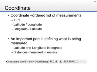
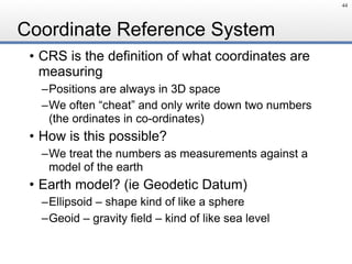
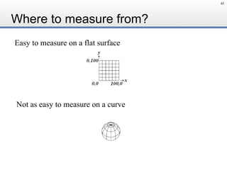
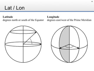


This document is an introduction to geospatial concepts for Java developers, focusing on the use of Geotools and related projects. It outlines essential topics like geometry, coordinate reference systems, filters, raster data, and cartography in a structured hands-on format. Additionally, it provides logistical details about the workshop and the community involved in developing open source geospatial tools.