Download to read offline


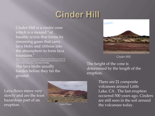
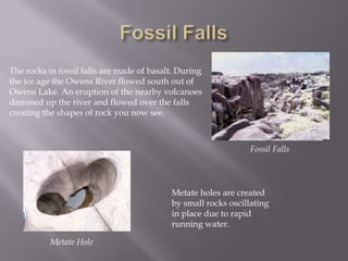
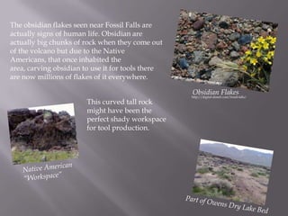
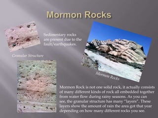
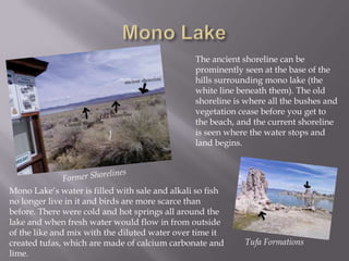
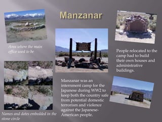
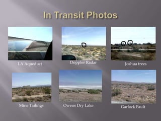

The document summarizes key geographic features observed during a field trip, including: Cinder Hill, a cinder cone volcano formed from lava blobs; Fossil Falls, with basalt rocks carved by glacial flows; Mormon Rocks, a sedimentary formation showing layers from past rainfall; and Mono Lake, which contains tufa formations and has higher salinity due to water diversion. The field trip observed evidence of human habitation like obsidian flakes, petroglyphes, and the Manzanar internment camp.


![Field trip[1]](https://cdn.slidesharecdn.com/ss_thumbnails/fieldtrip1-110504125600-phpapp01-thumbnail.jpg?width=640&height=640&fit=bounds)


![Let's Play Fonts! 2 [Typography Illustrated]](https://cdn.slidesharecdn.com/ss_thumbnails/letsplayfonts2typographyillustrated-151206154811-lva1-app6892-thumbnail.jpg?width=640&height=640&fit=bounds)


