Download to read offline


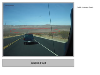
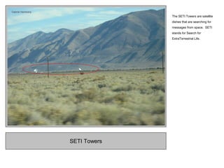


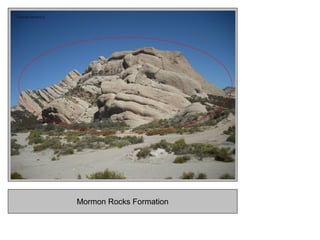


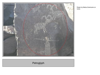
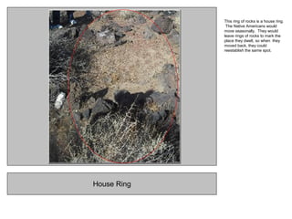


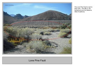
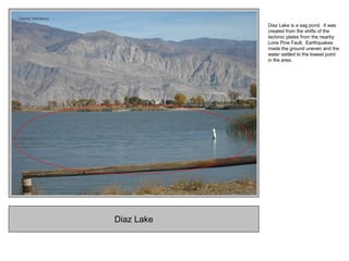


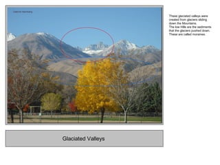

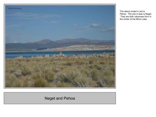
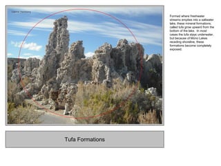
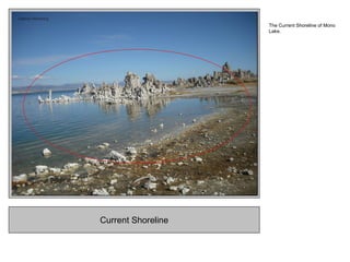
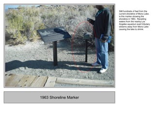
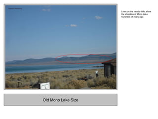


Gabriel Heimberg documented photos from a geography field trip through California deserts and mountains. The photos showed various landforms like the California Aqueduct, Joshua trees in the desert, a solar power plant, and the SETI satellite dishes. Other photos documented Mormon Rocks by the San Andreas Fault, cinder cones at Cinder Hill, petroglyphs and house rings left by Native Americans, glaciated valleys, and Mono Lake with its receding shoreline and tufa formations. The photos were accompanied by explanations of the geographic features and processes that formed the landscapes.


![Field trip[1]](https://cdn.slidesharecdn.com/ss_thumbnails/fieldtrip1-110504125600-phpapp01-thumbnail.jpg?width=640&height=640&fit=bounds)


