Download as PDF, PPTX
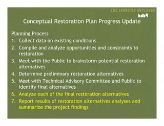
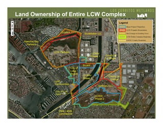
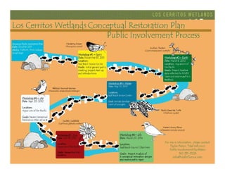
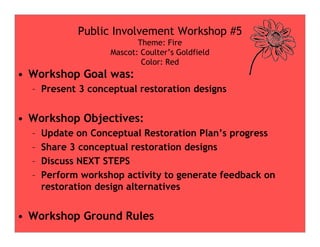
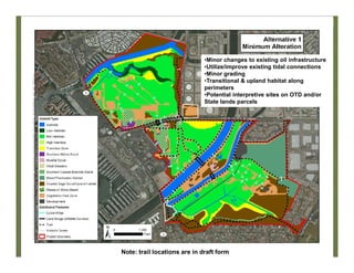
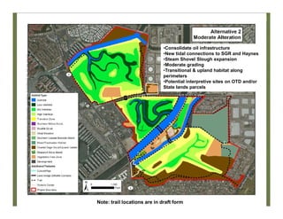
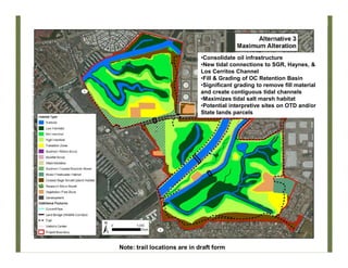
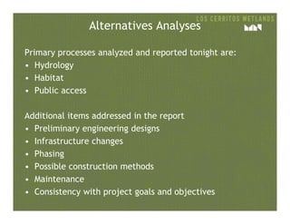
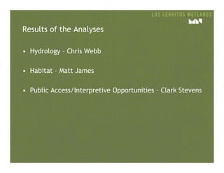
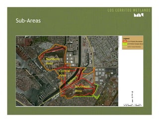
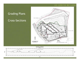
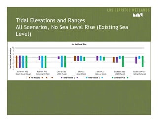
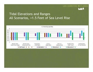
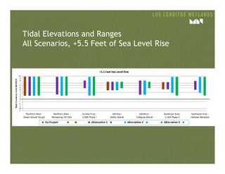
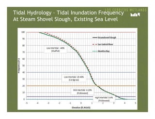
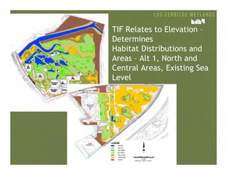
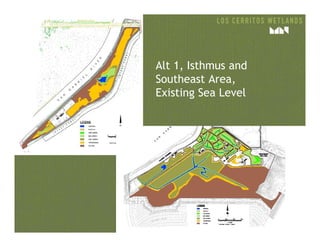
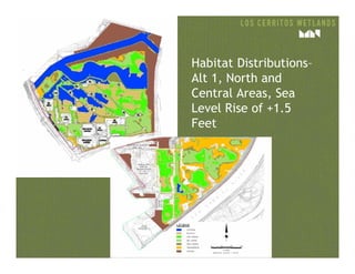
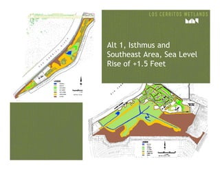
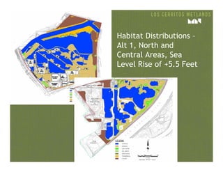
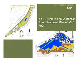
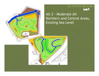
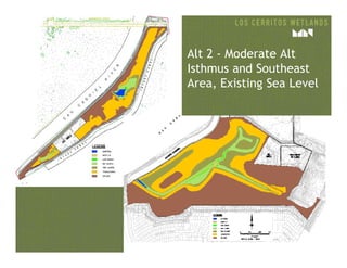
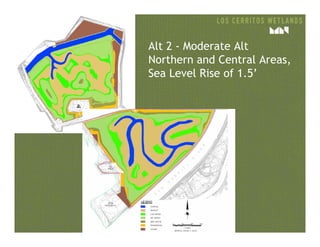
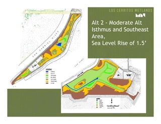
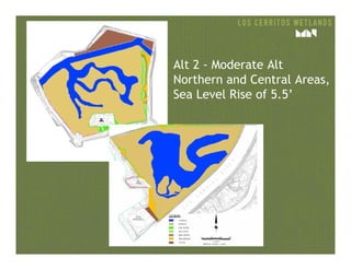
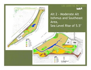
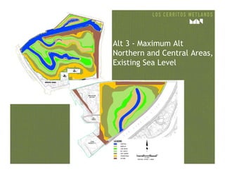
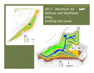
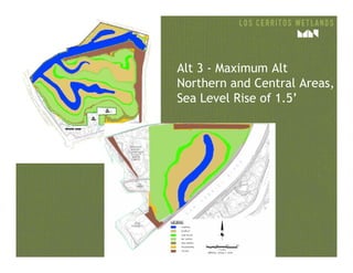
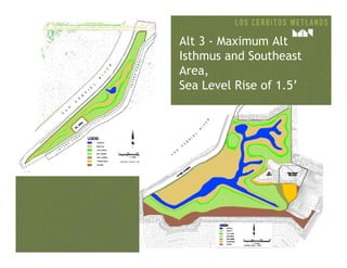
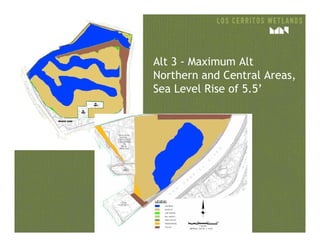
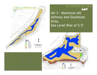
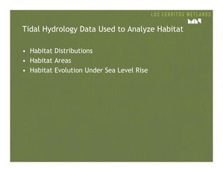
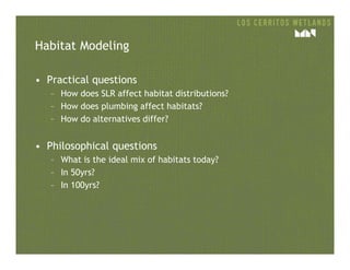
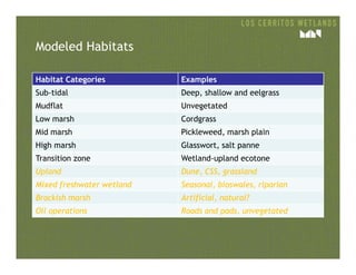
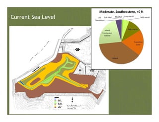

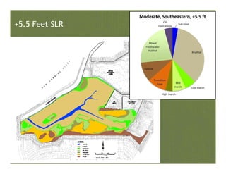
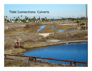


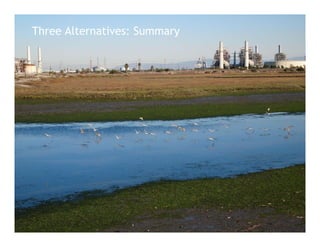
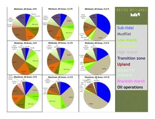
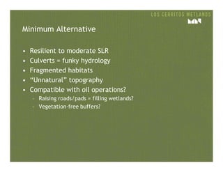
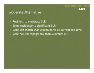
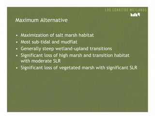
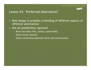
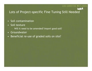
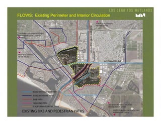
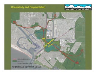
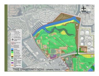
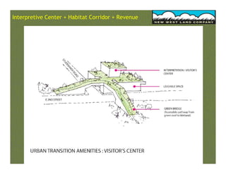
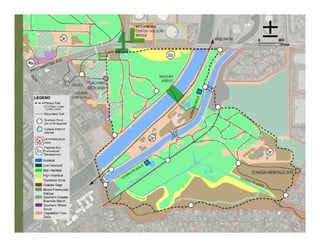
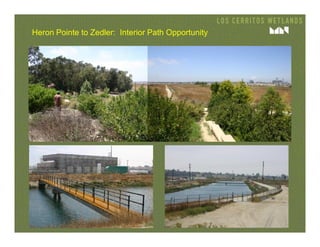
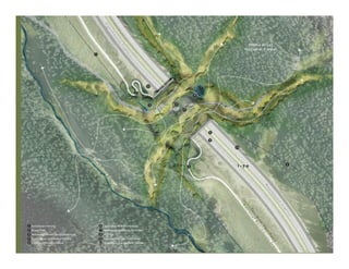
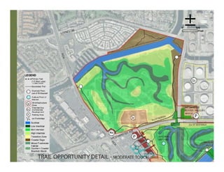
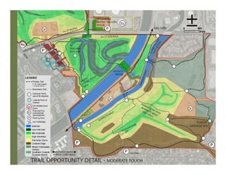

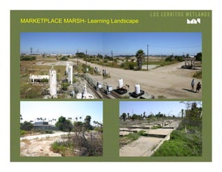
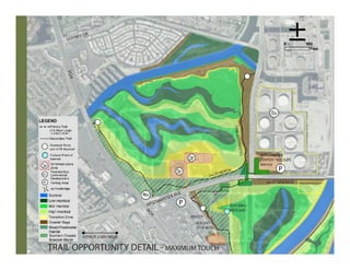

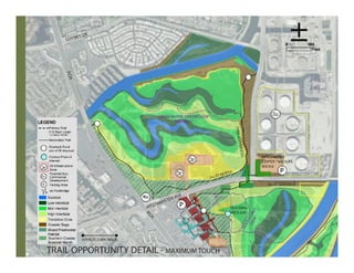
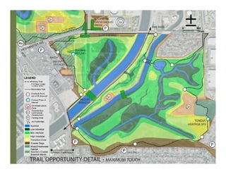
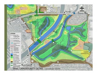
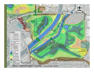

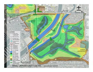

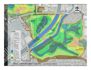
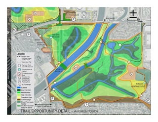


The document summarizes a public workshop that presented 3 conceptual restoration designs for Los Cerritos Wetlands. The workshop objectives were to: 1) update on the conceptual restoration plan's progress, 2) share the 3 conceptual designs, and 3) present results of analyzing the alternatives. The 3 alternatives varied in the degree of infrastructure consolidation, new tidal connections, grading, and habitat types created. Analysis of hydrology, habitat, and public access for each alternative under existing and future sea levels was presented. Key findings were that culverts may impact hydrology and habitats, and that while some alternatives were resilient to moderate sea level rise, significant rise may require additional measures like sediment addition to preserve wetlands.


