Download to read offline
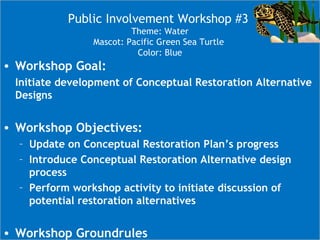
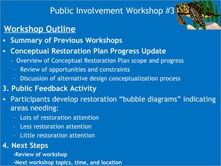
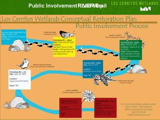
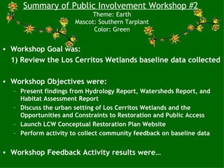
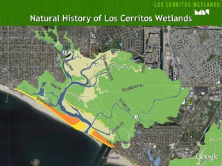
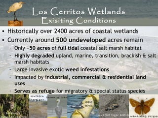
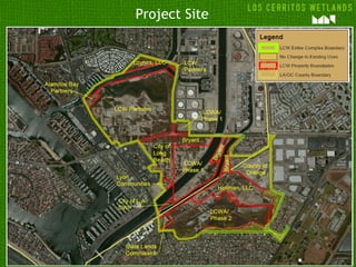
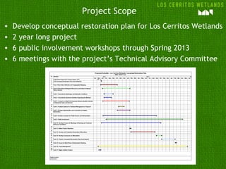
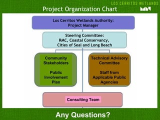
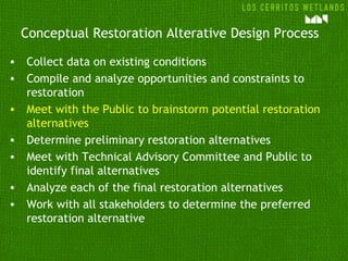
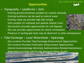
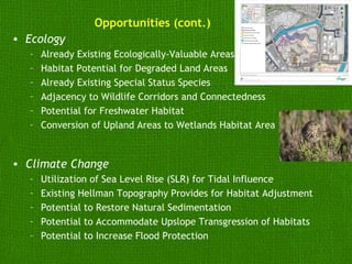

The document outlines the objectives and progress of a series of public involvement workshops focused on the conceptual restoration of the Los Cerritos Wetlands. Key information includes workshop goals, participant feedback, and the collaborative process aiming to develop restoration alternatives. It also highlights the constraints and opportunities affecting the wetlands' restoration efforts, along with a tentative workshop schedule.


![5G Explained! A High Level Overview [Introduction]](https://cdn.slidesharecdn.com/ss_thumbnails/5gexplainedahighleveloverview-260119165306-cc137a3e-thumbnail.jpg?width=640&height=640&fit=bounds)


