1. The document discusses a project by the Environmental Science for Social Change (ESSC) to strengthen disaster risk reduction capacities in communities in Asia that face floods, landslides, and droughts.
2. As part of the project, ESSC staff visited communities in the Philippines affected by drought and landslides to understand their experiences and identify areas for research.
3. The project aims to improve understanding of natural hazards, develop social preparedness, build regional collaboration networks, and establish learning centers for disaster risk reduction across Asia Pacific.


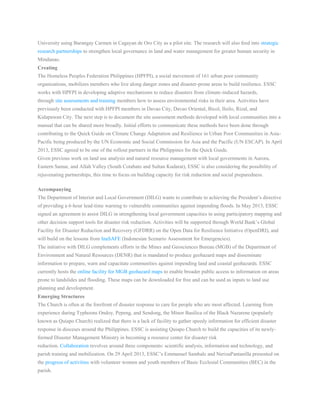
![Many places in the Philippines, and indeed in many parts of Asia, are susceptible to hydrogeomorphologic hazards,
which include floods, landslides and drought. These have happened in the past. With climate change, it is likely that
that these will happen more often and with more intensity. Even if the number of events does not change during any
given period at any location, the impact of such events may increase in severity, not because the event itself is
extreme, but simply because there are more people at risk.
Through this project, ESSC strives to contribute to the growing body of knowledge, exchanges and partnerships for
the Hyogo Framework for Action (HFA) under the United Nations International Strategy for Disaster Reduction
(UNISDR) to build resilience of nations and communities to disasters.[1]
Early action and response can spell the
difference between a natural hazard and a natural disaster. And so we face the next floods, landslides and droughts,
with hope and determination.
[1] UN ISDR. 2007. Hyogo Framework for Action: Building Resilience of Nations and Communities to Disaster.](https://image.slidesharecdn.com/facingfloodsrowenasoriaga-130530033606-phpapp02/85/Facing-floods-rowena-soriaga-3-320.jpg)


