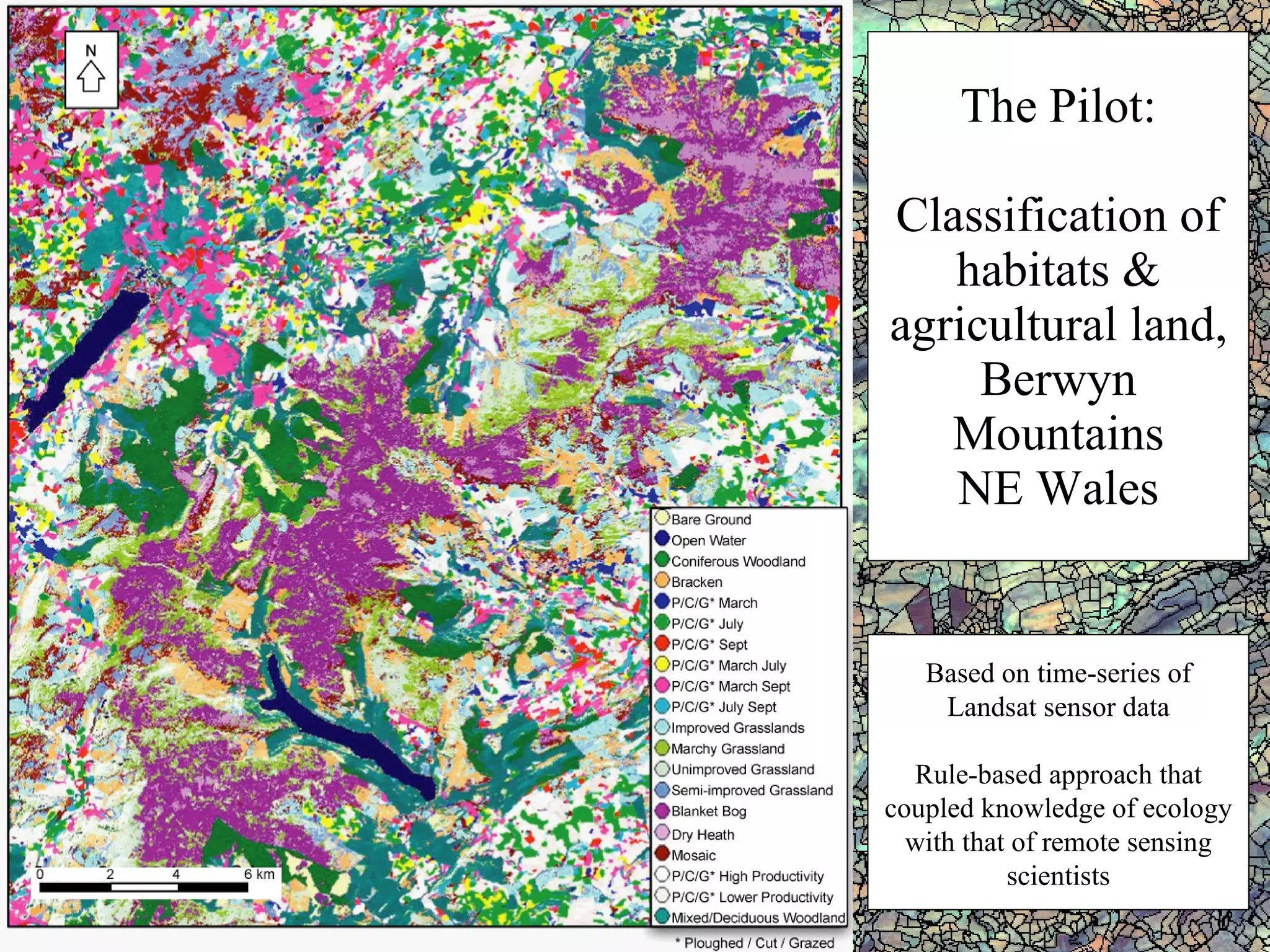
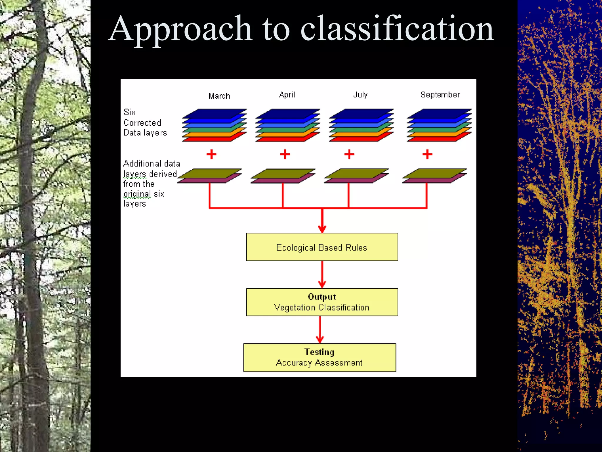
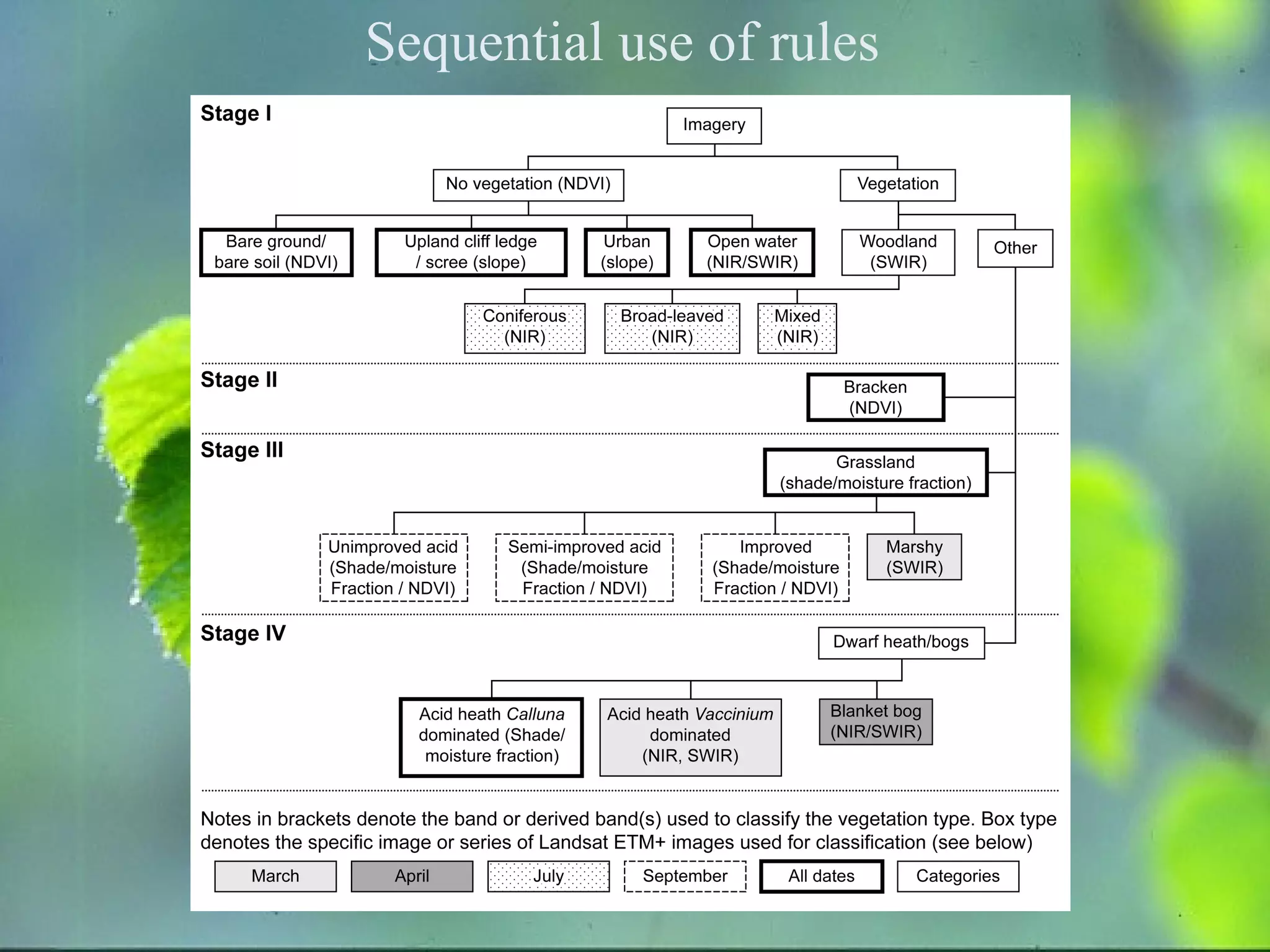
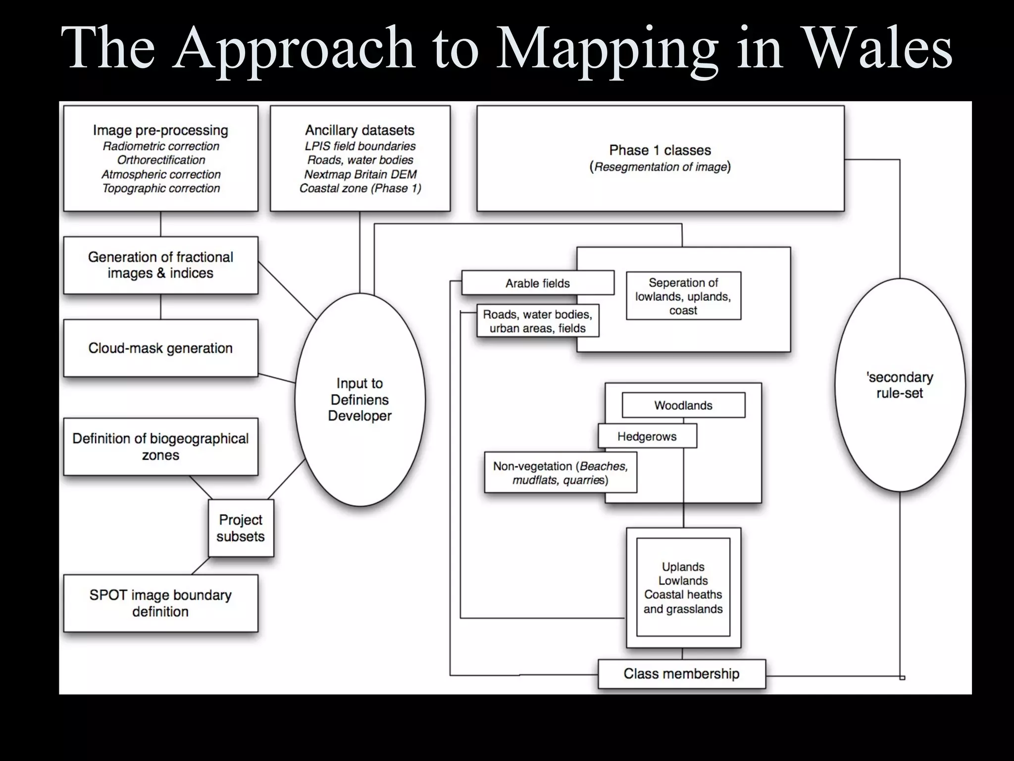
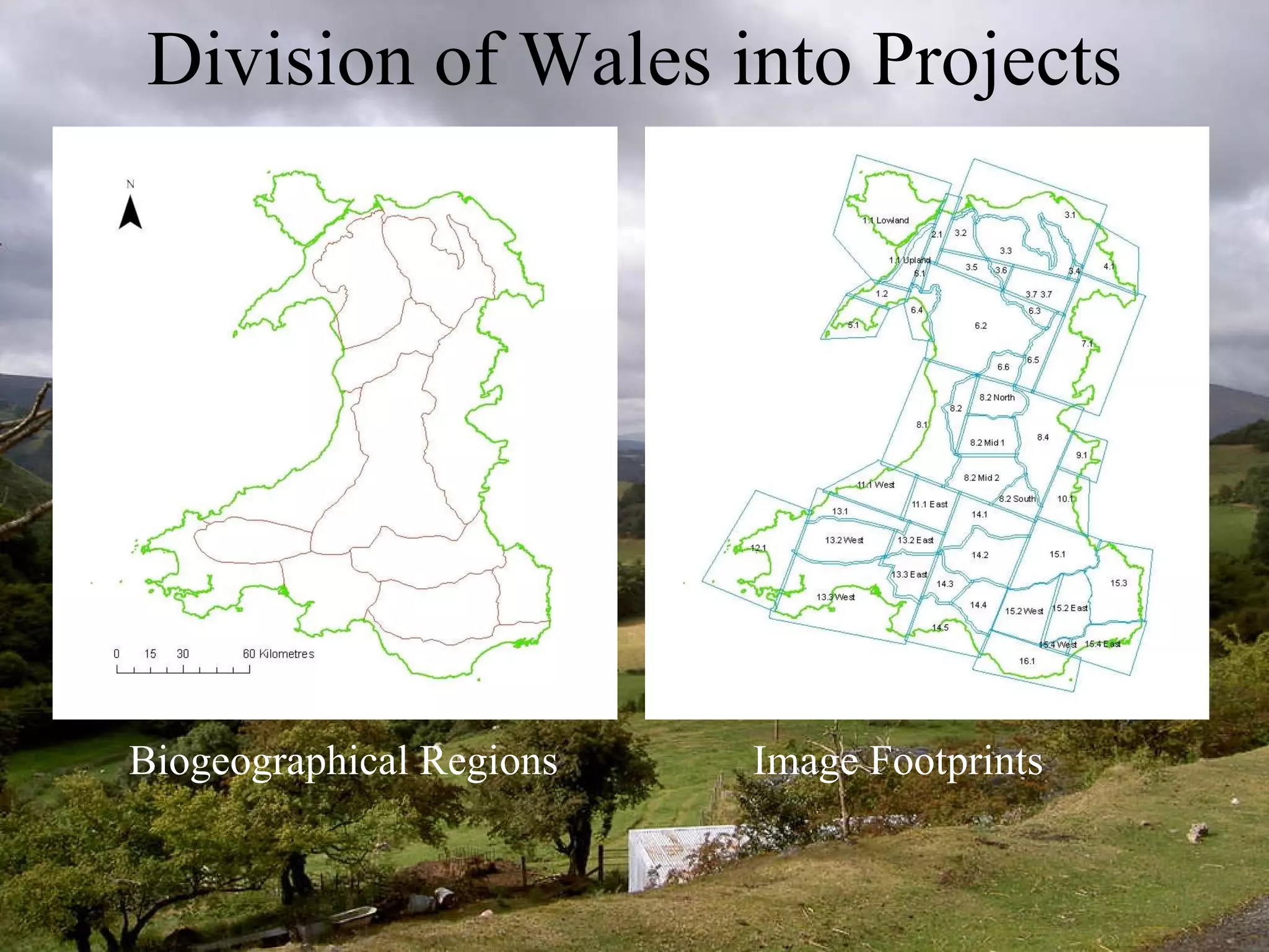
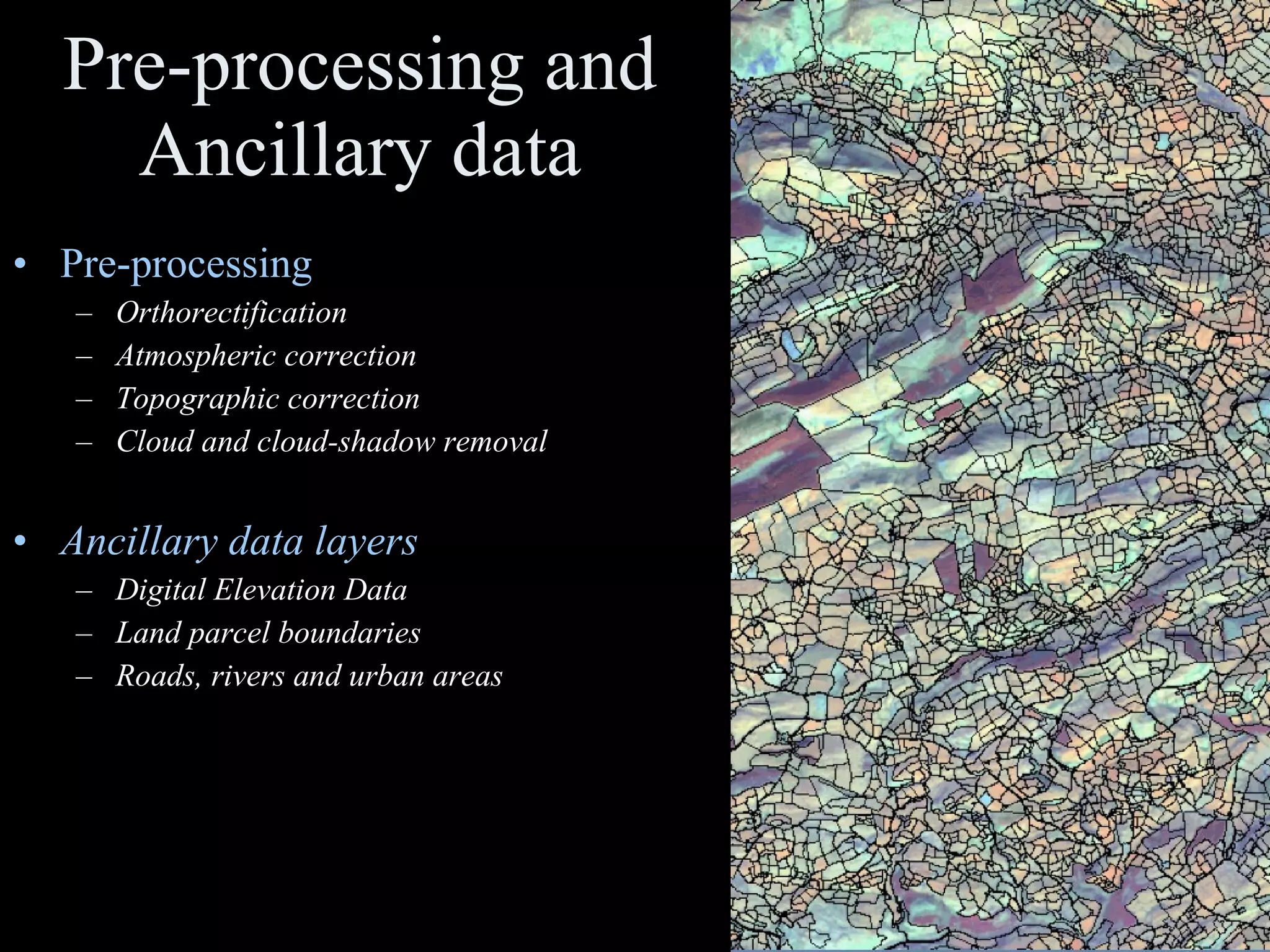
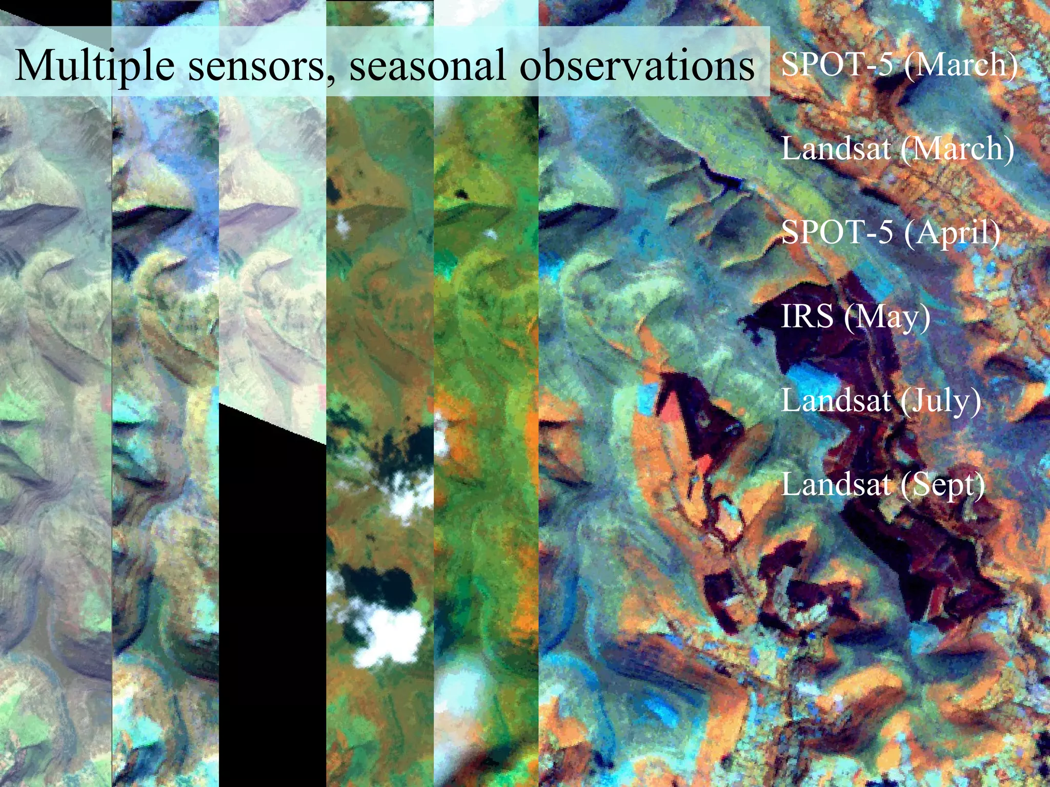
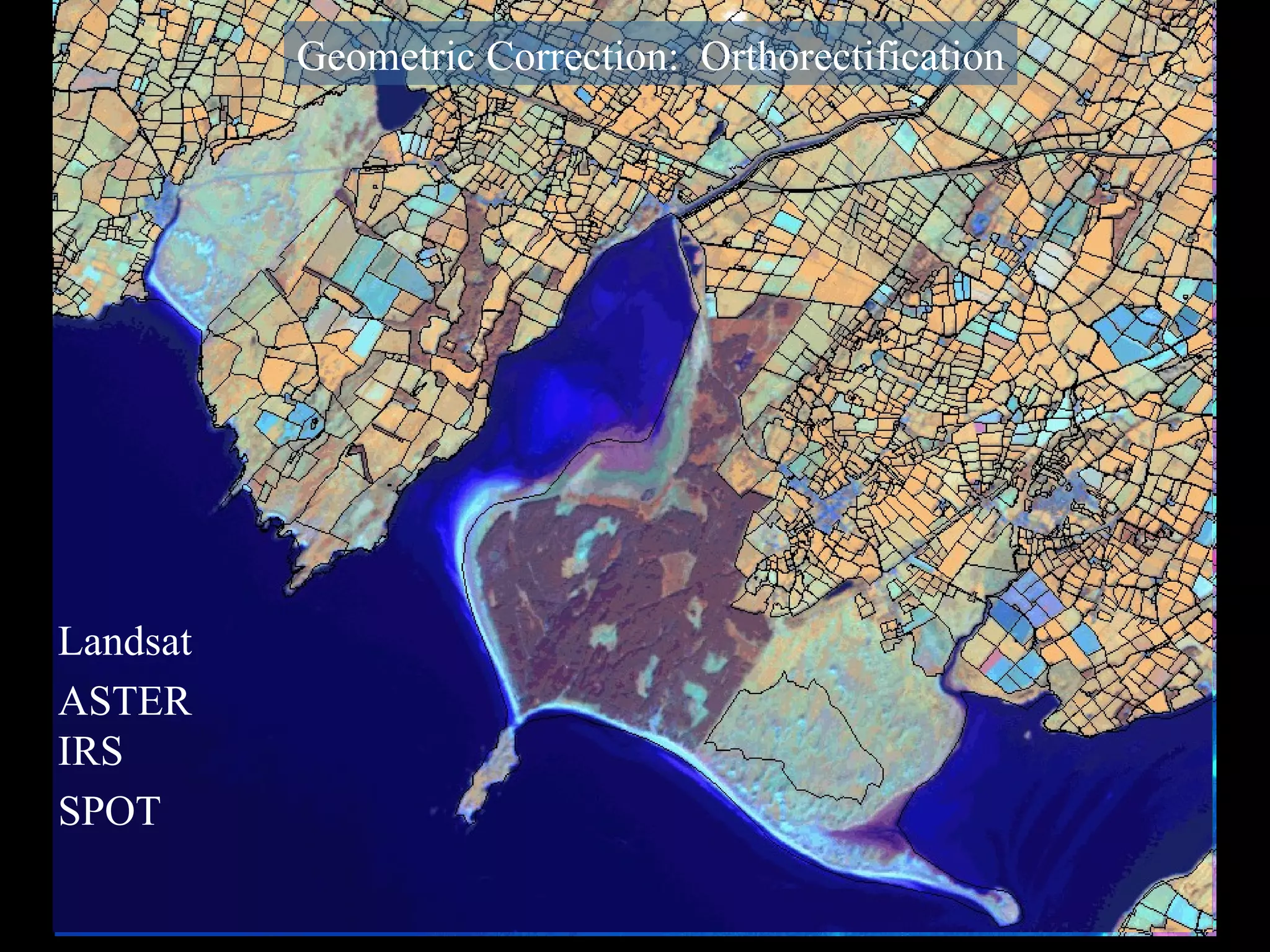
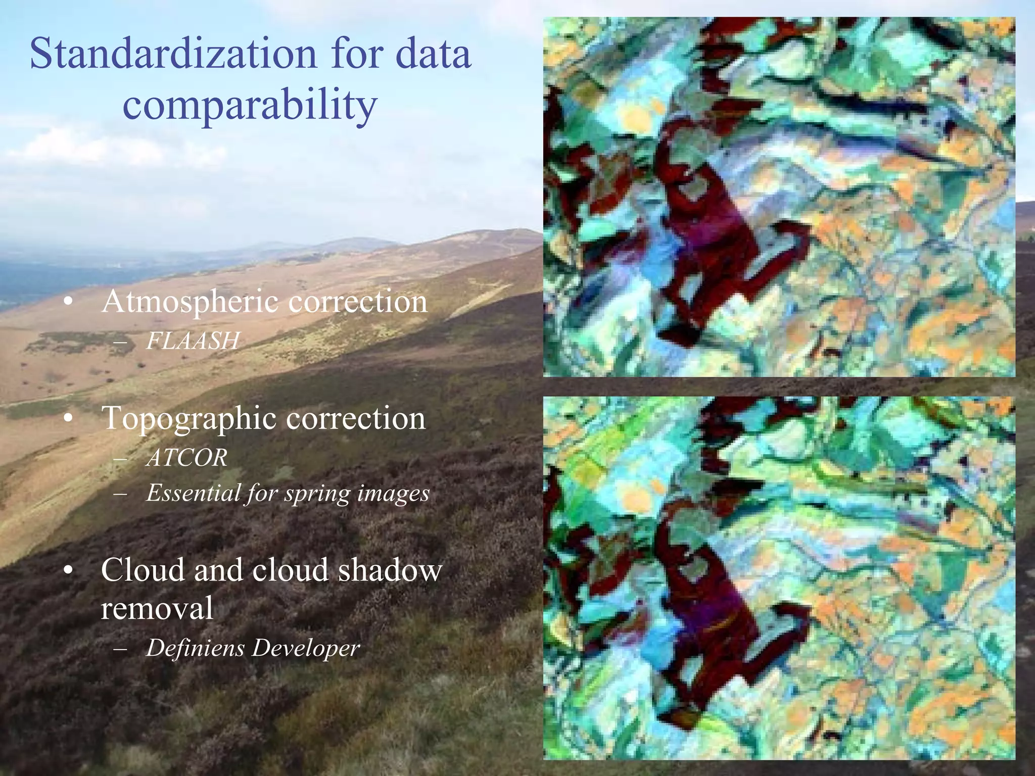
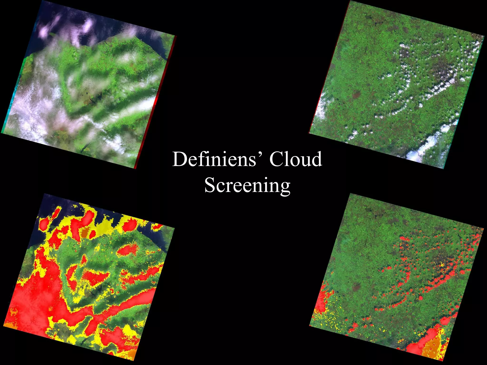
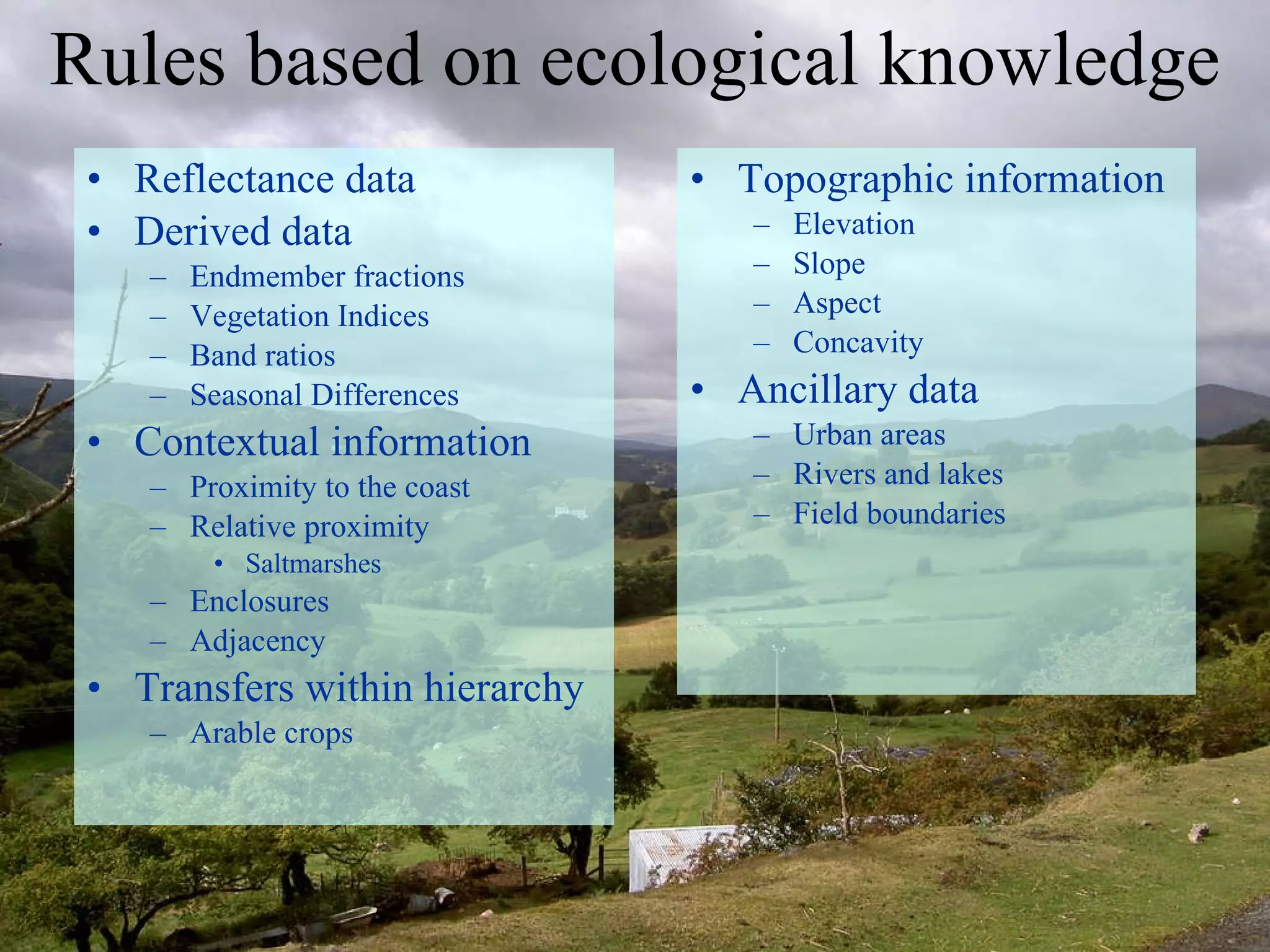
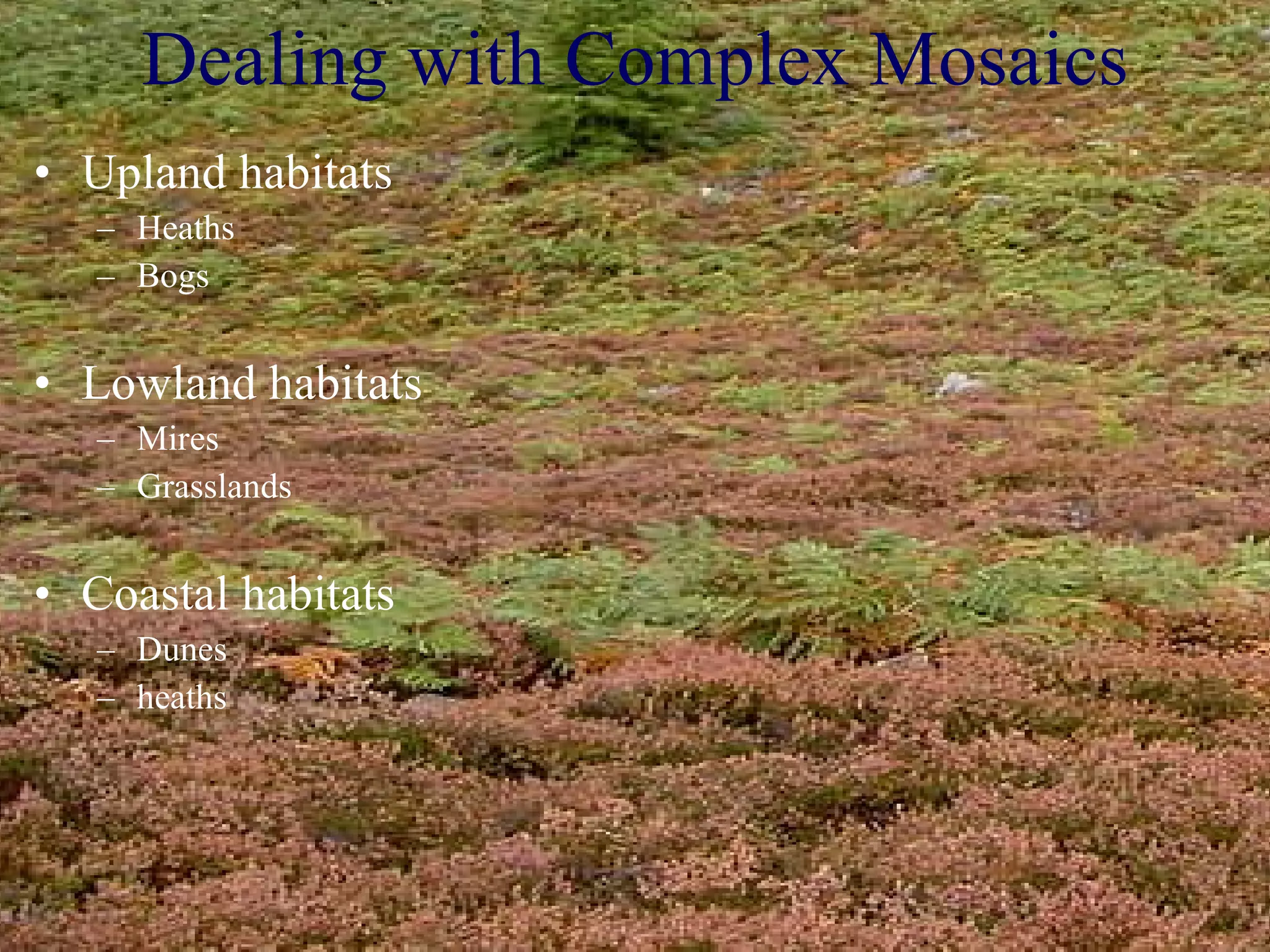
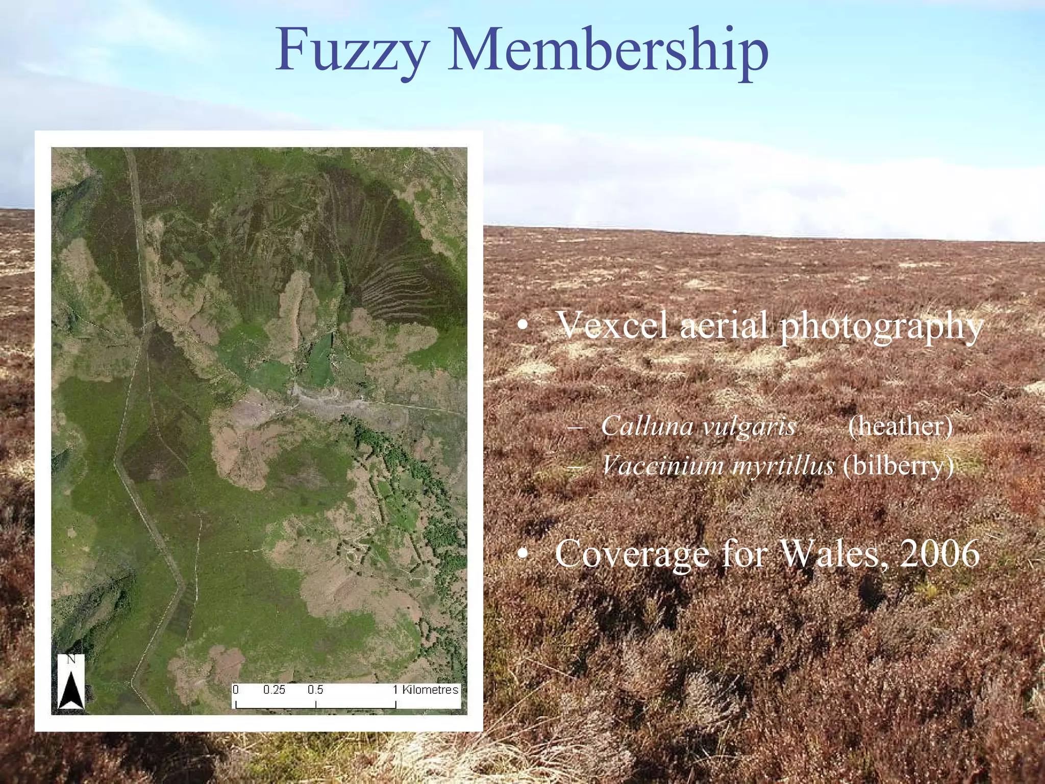
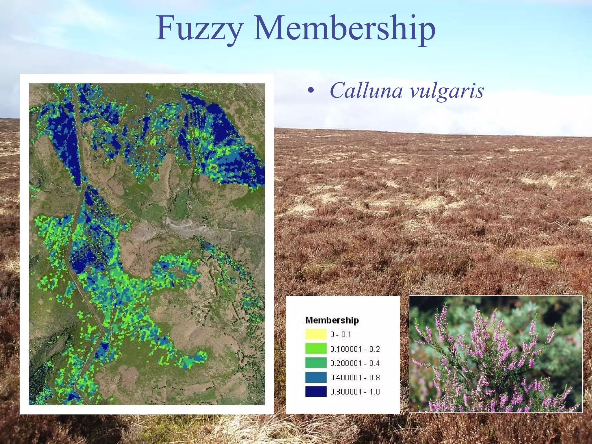
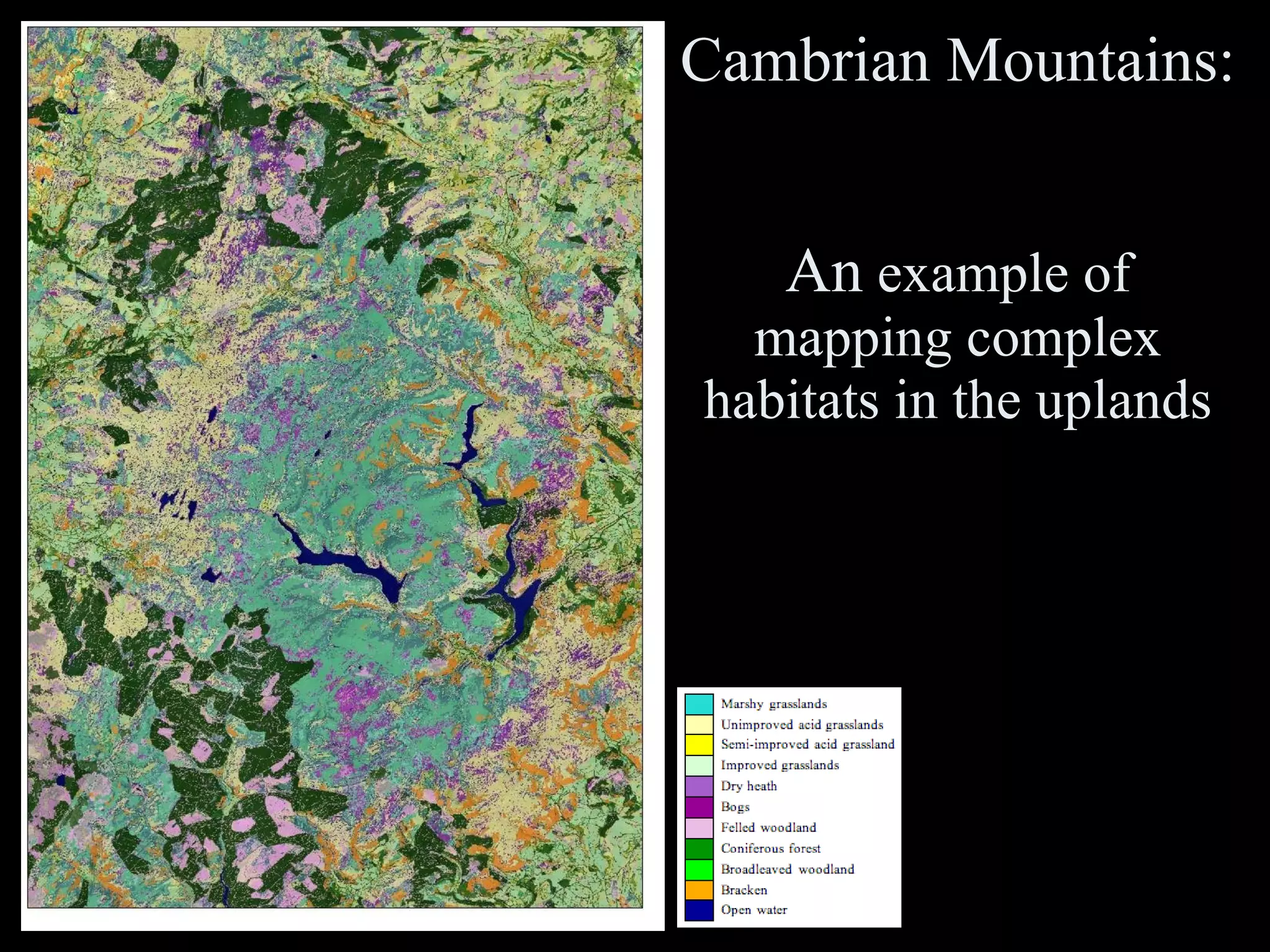
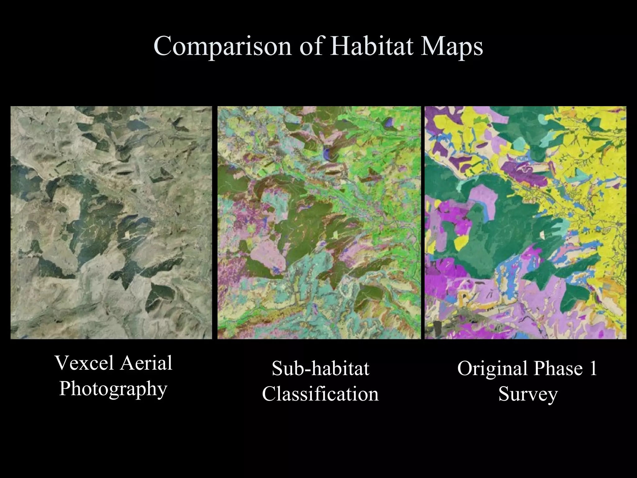
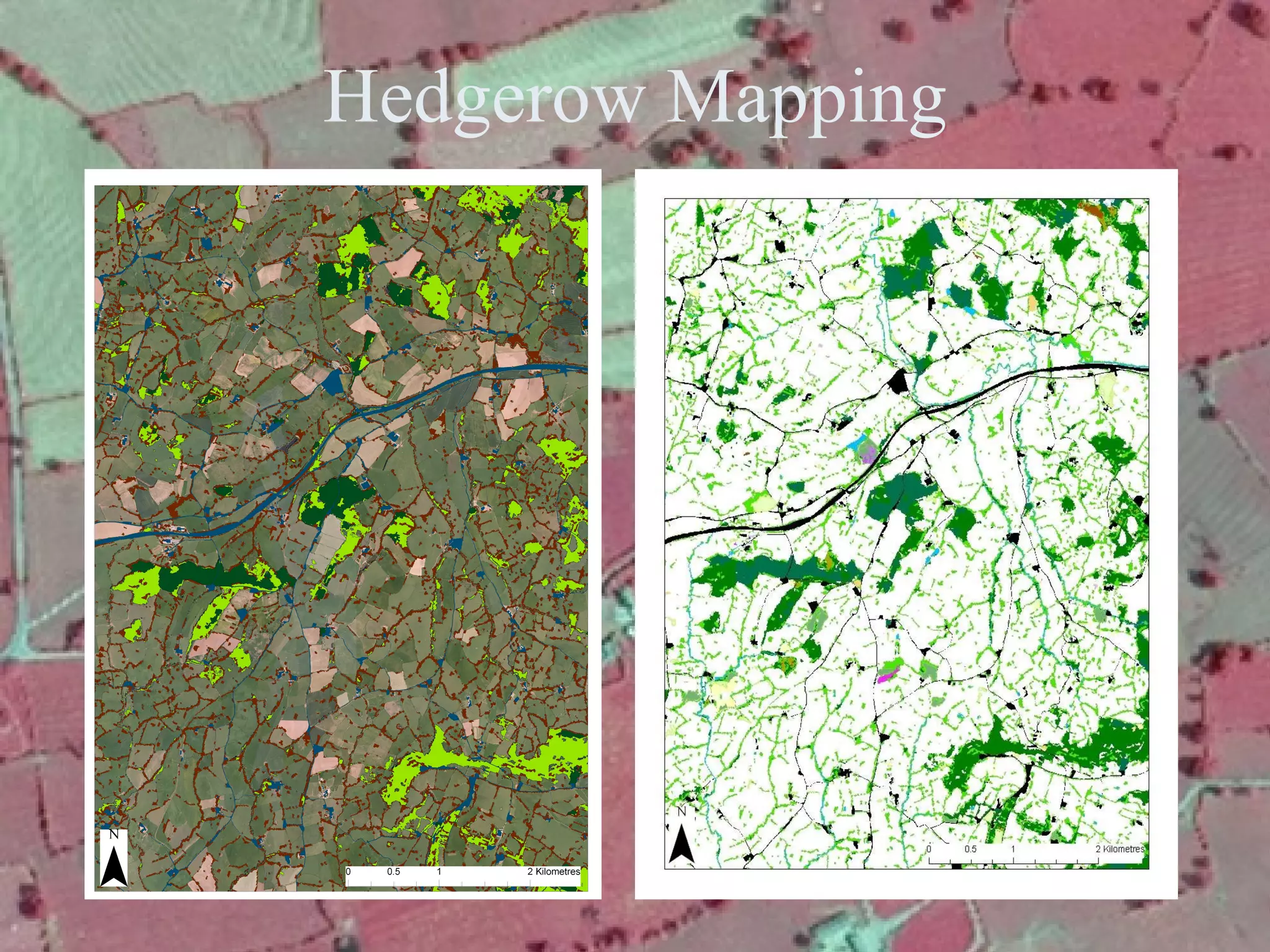
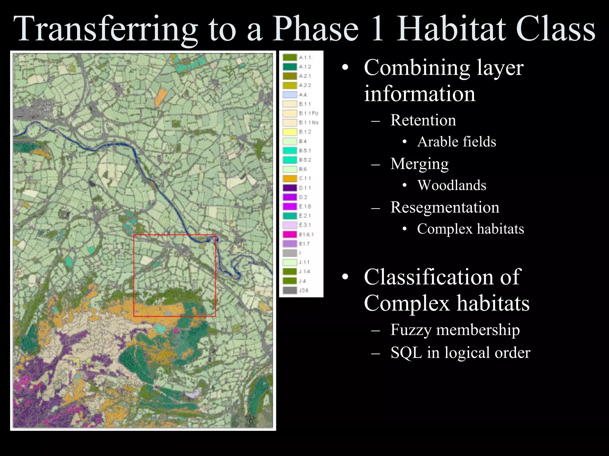
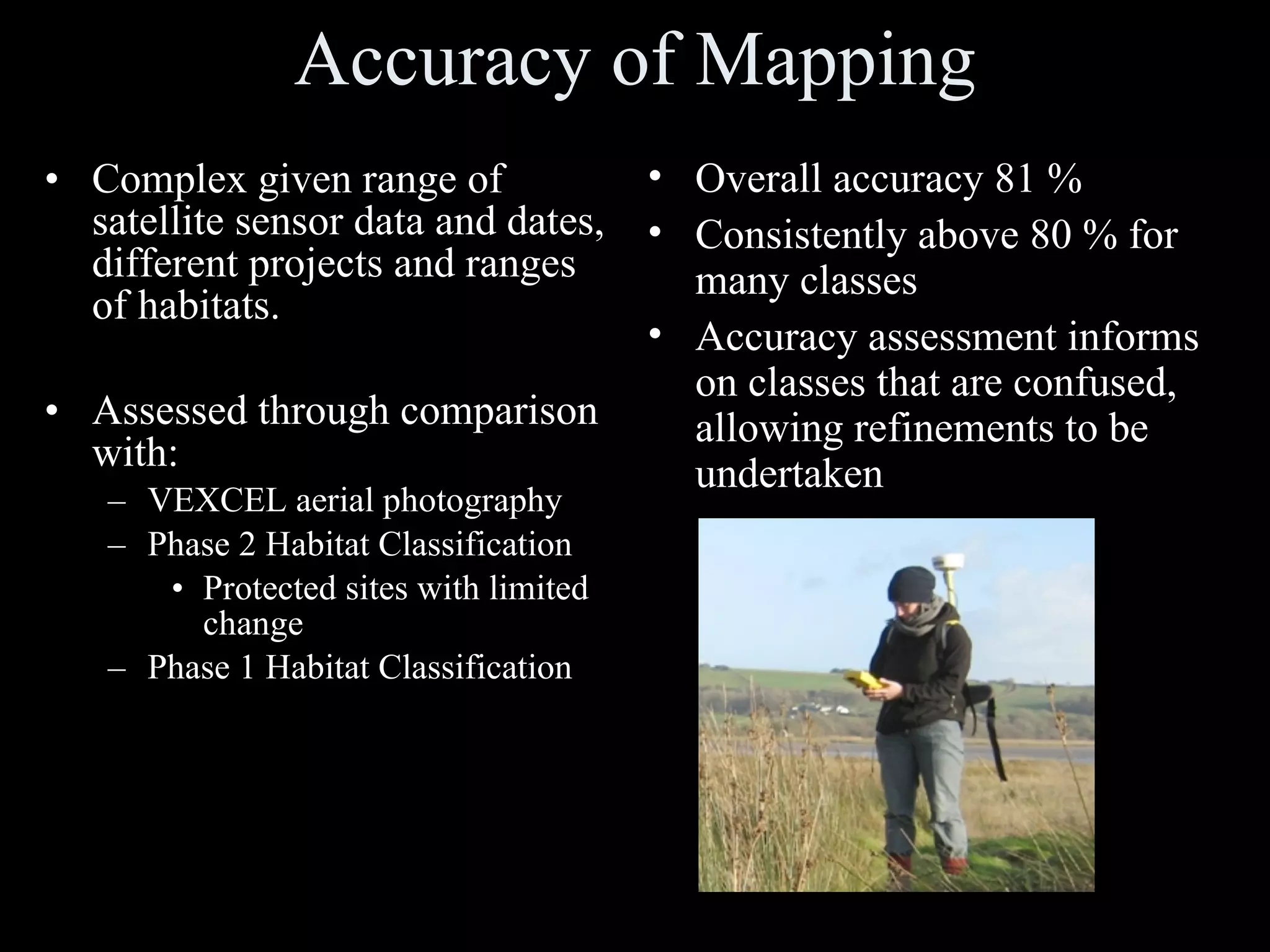
The document summarizes a project using object-based image analysis to revise national vegetation mapping in Wales. High-resolution satellite imagery from multiple sensors was segmented and classified using a rule-based approach in Definiens software to map habitats at multiple scales, achieving over 80% accuracy compared to existing maps. The project established a baseline habitat map for 2006 and is developing a rolling program to regularly update the maps using new imagery and refine the classification system.

![Acknowledgements Definiens for their superb software and support throughout. Martin Ehrhardt, Gregor Willhauck, Juan Jose Caliz, Ralph Humberg and Caroline Rogg Ursula Benz Countryside Council for Wales Alan Brown Environment Systems Katie Medcalf, Steve Keyworth, Philippa Batty, Johanna Breyer IGES, Aberystwyth University Peter Bunting, Dan Clewley University of Leicester Lex Comber BNSC Dr. Ian Thomas Dr. Ian Downing For further information email: [email_address] , [email_address] , [email_address]](https://image.slidesharecdn.com/ecognitionusersummit2009rlucasuniversitywalesnationalvegetationmapping-091112045610-phpapp02/75/E-Cognition-User-Summit2009-R-Lucas-University-Wales-National-Vegetation-Mapping-39-2048.jpg)


