Download to read offline
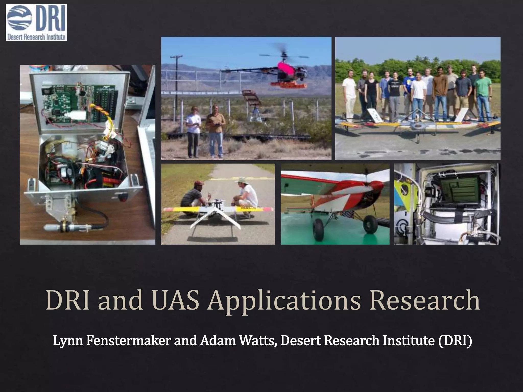
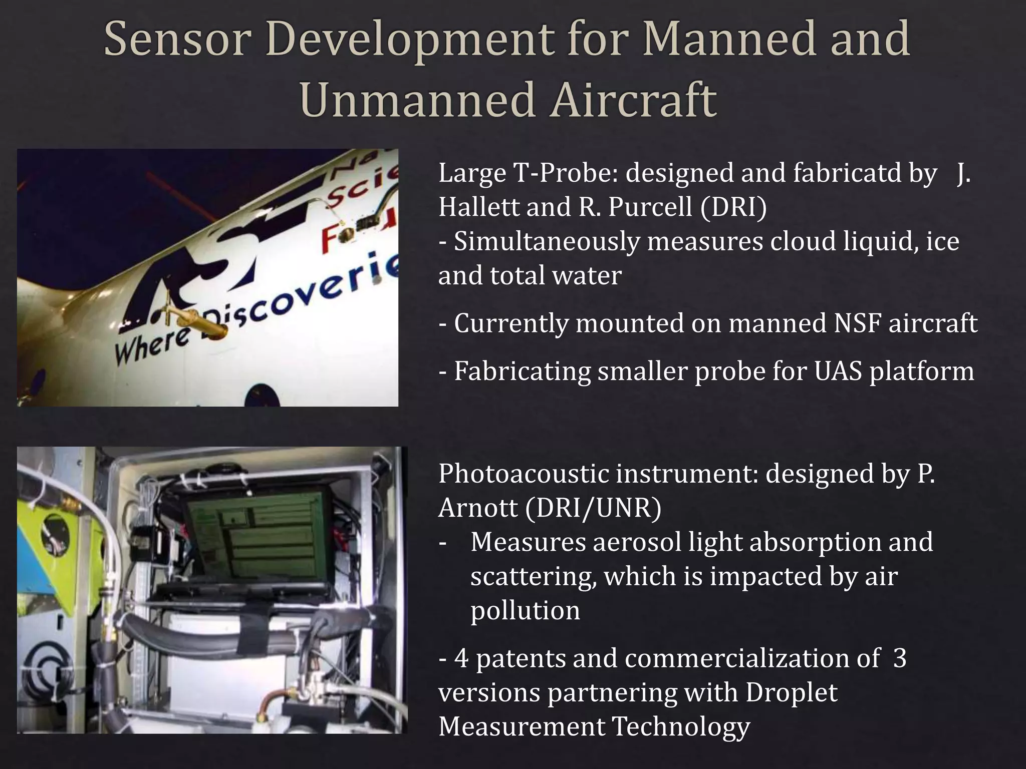
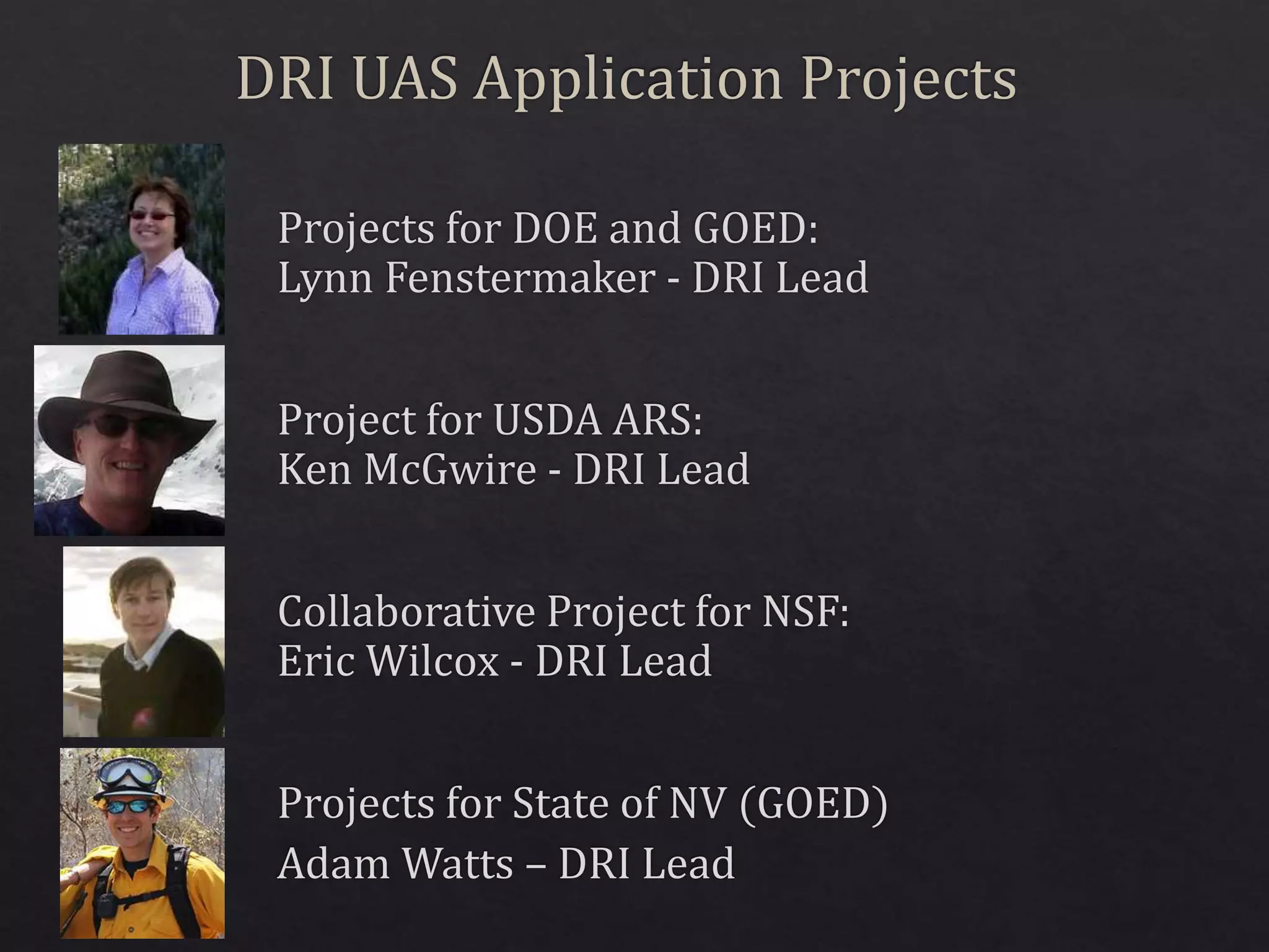
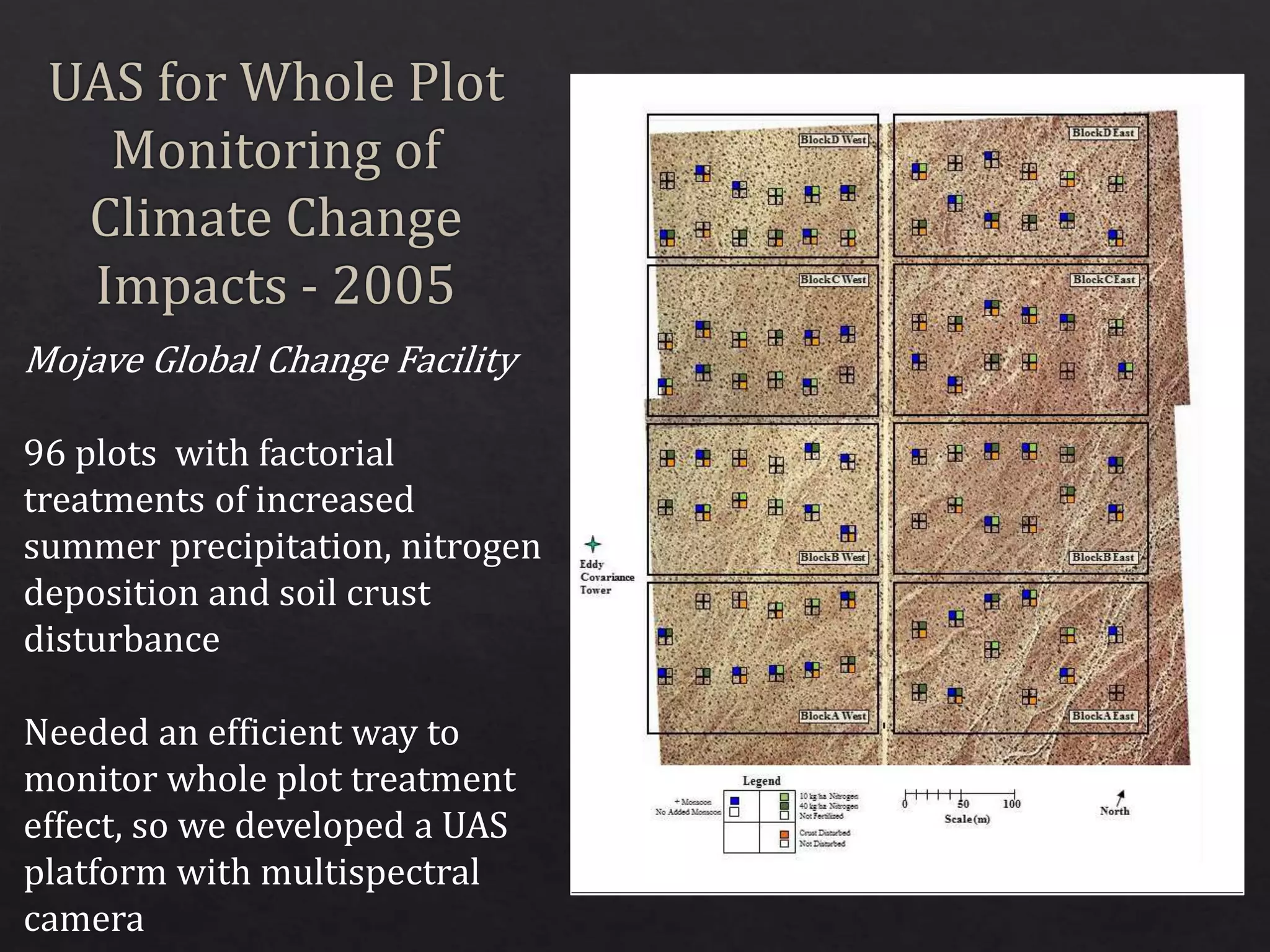
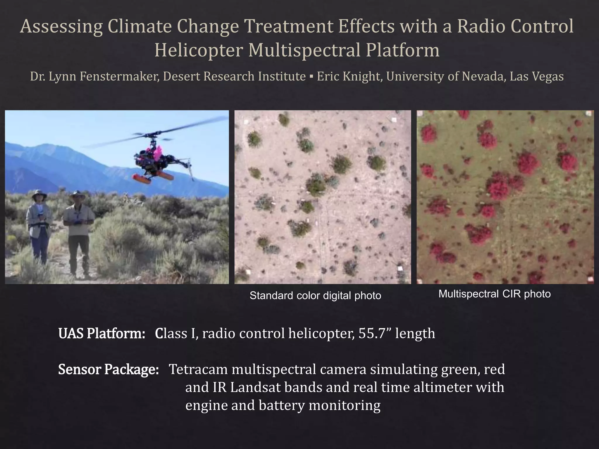
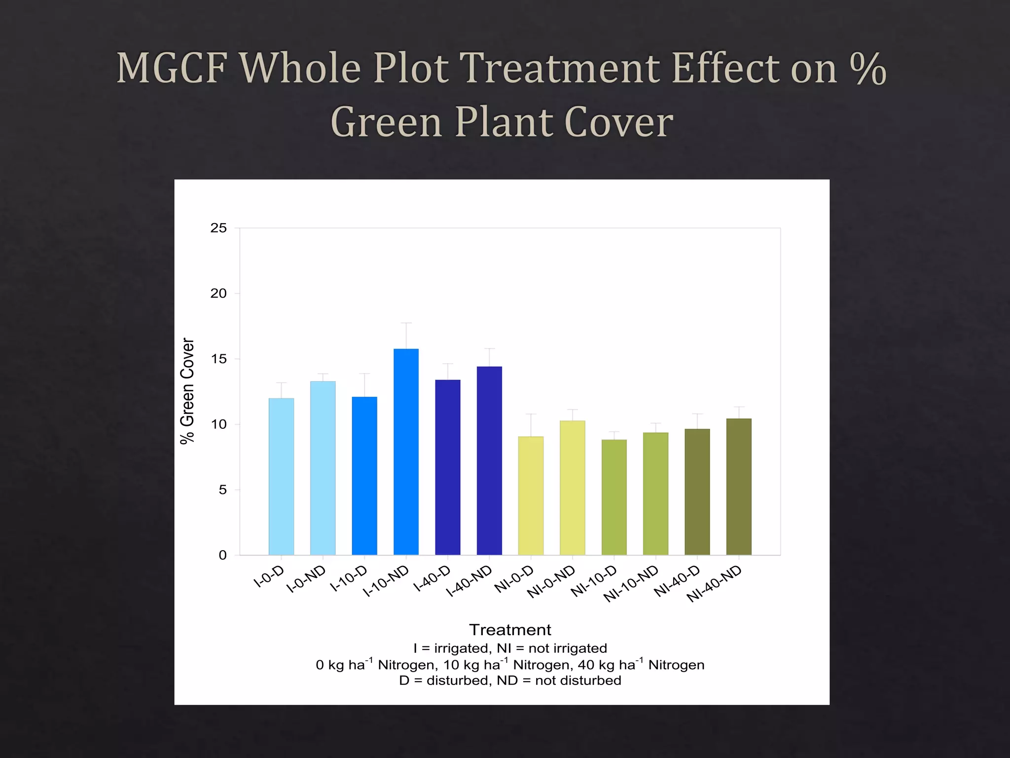
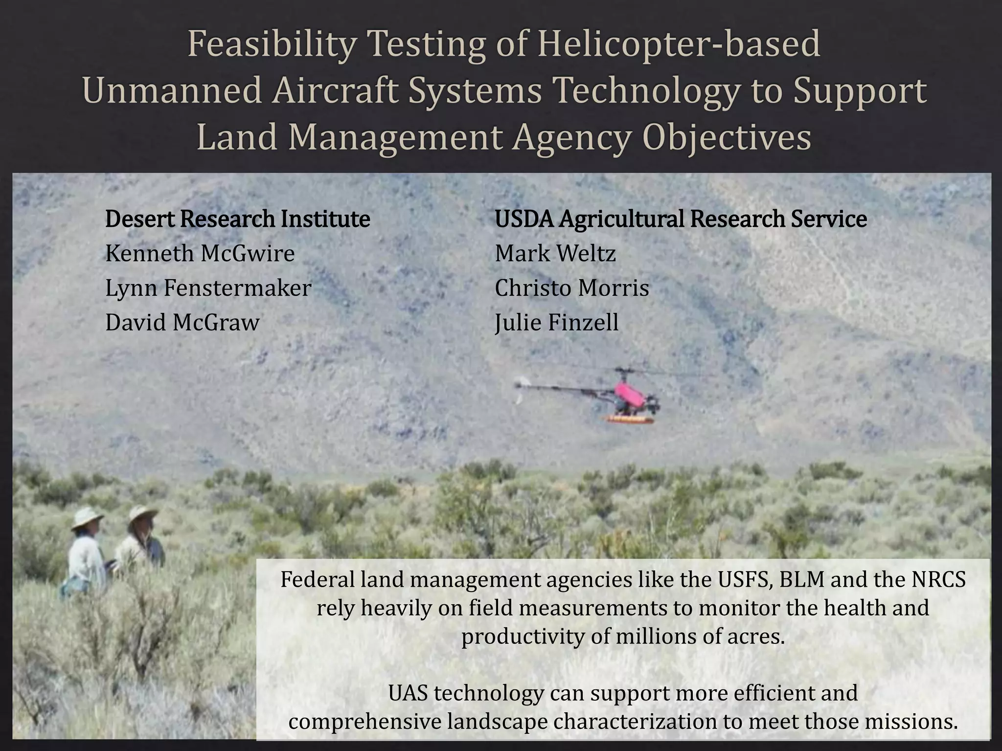
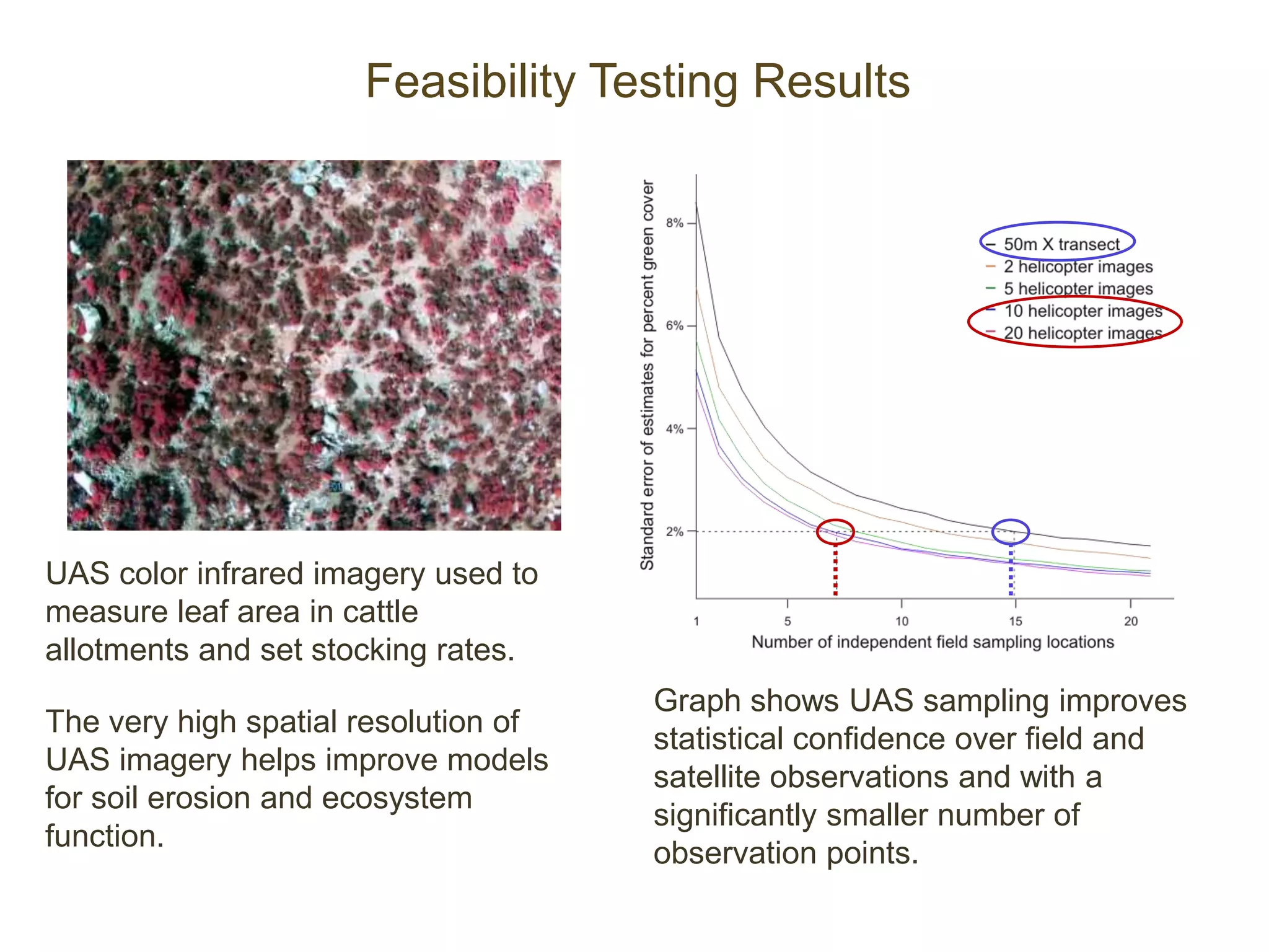

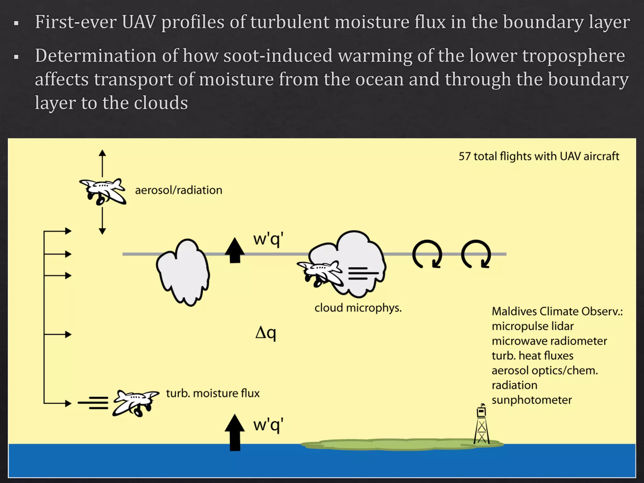
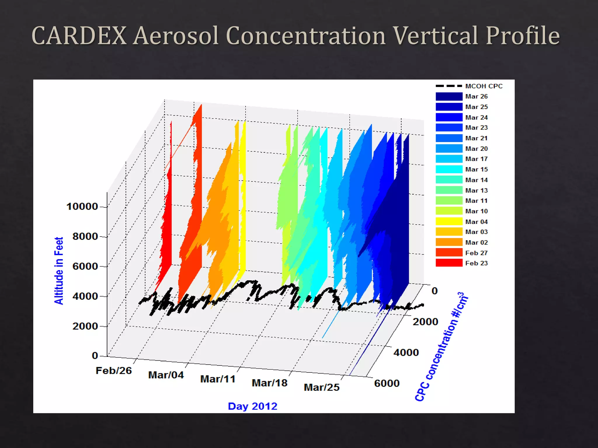
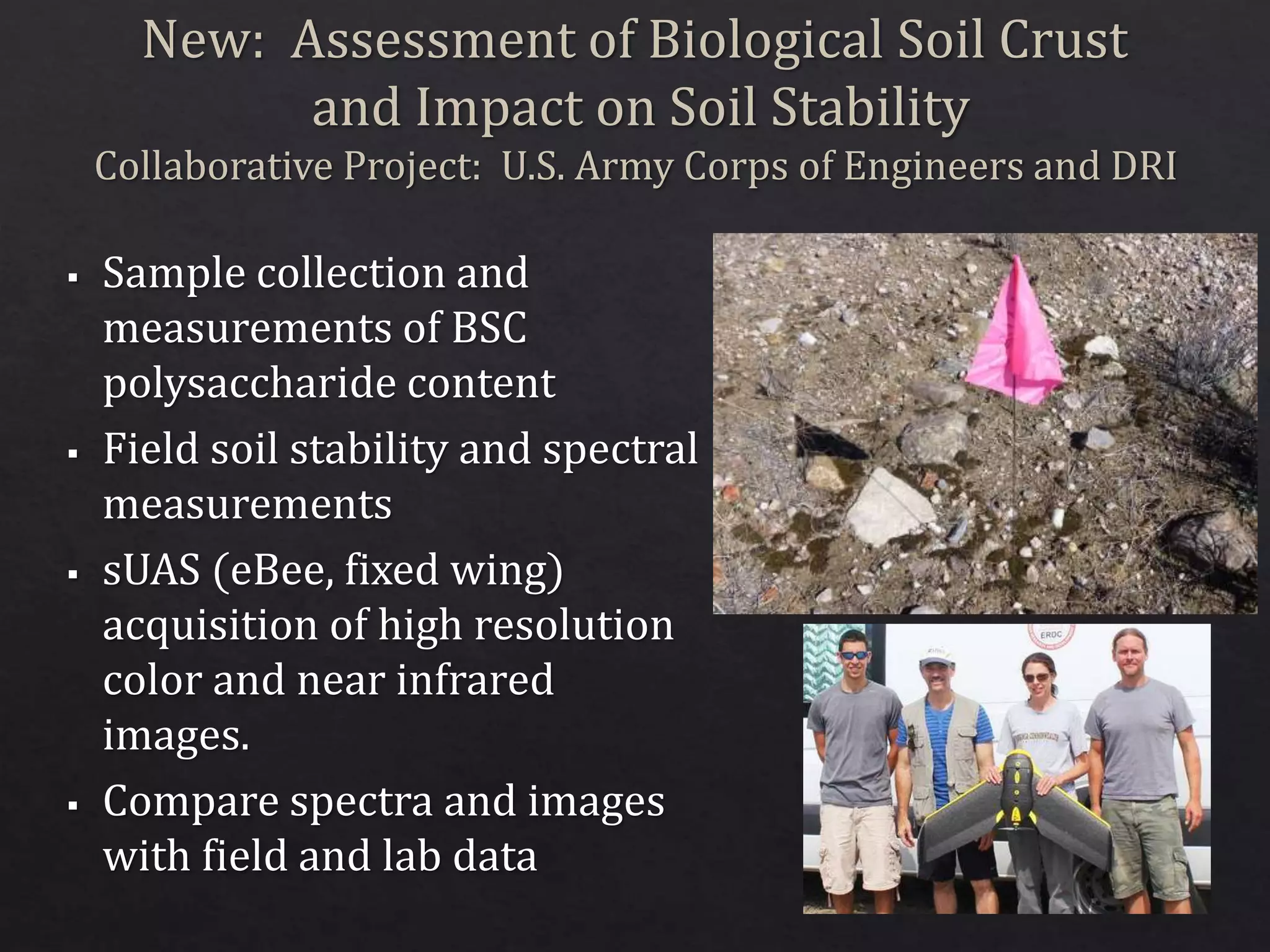
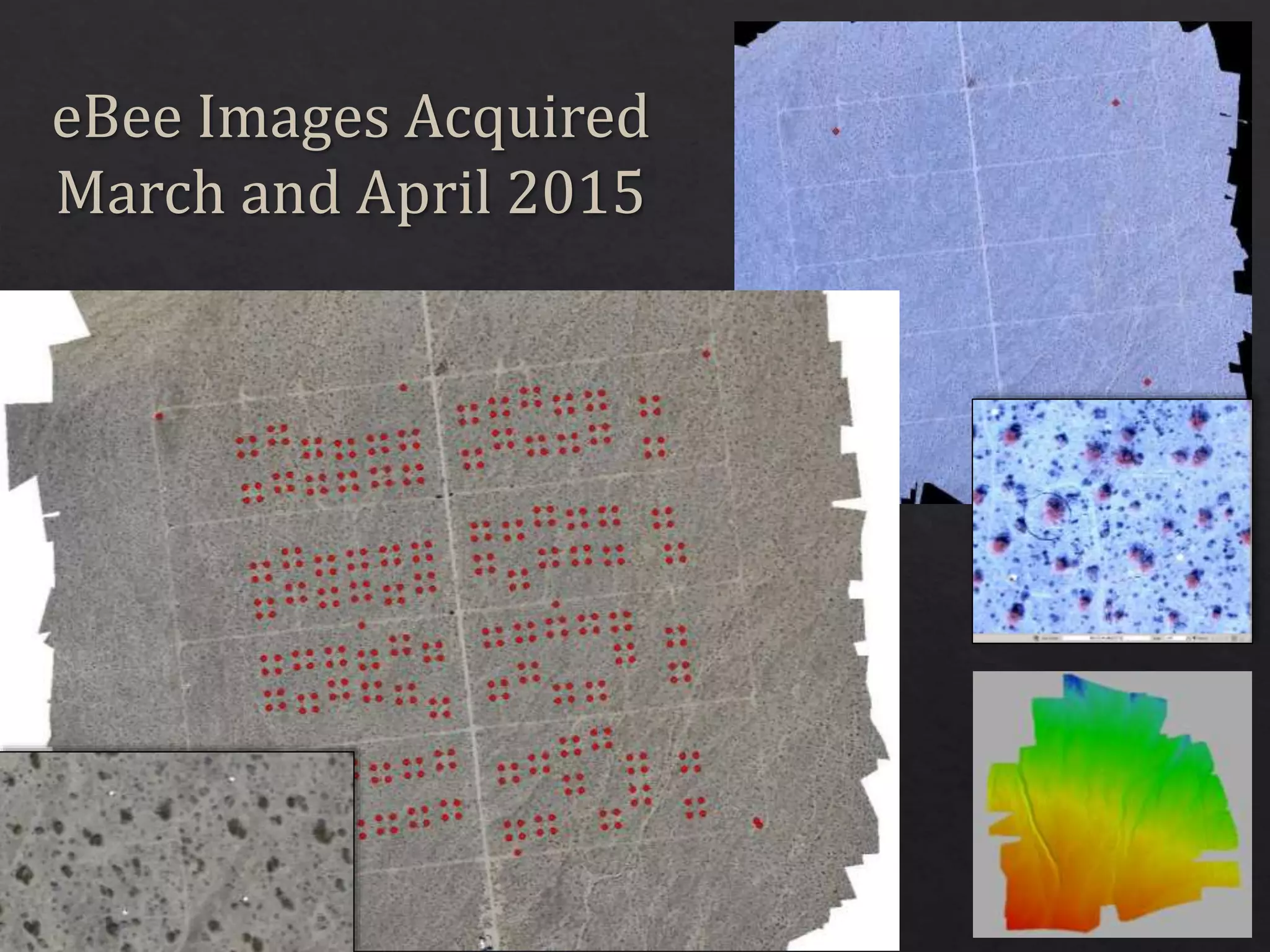
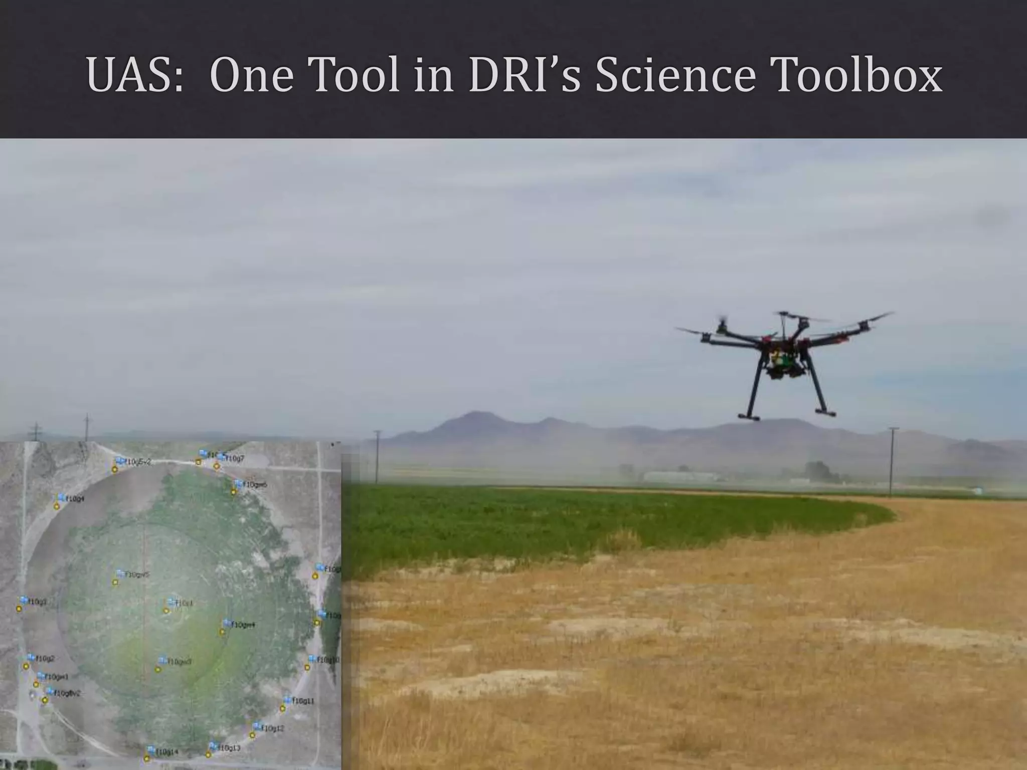

The document outlines various projects and technologies developed by the Desert Research Institute, including a large T-probe for measuring cloud properties and a UAS platform for assessing climate change treatment effects. It highlights the use of multispectral cameras and UAS technology for efficient landscape characterization and improved data collection for soil and ecosystem analysis. The research collaborations also focus on biological soil crust assessment and the development of miniaturized technology for cloud seeding tests.