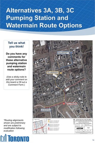
Download to read offline

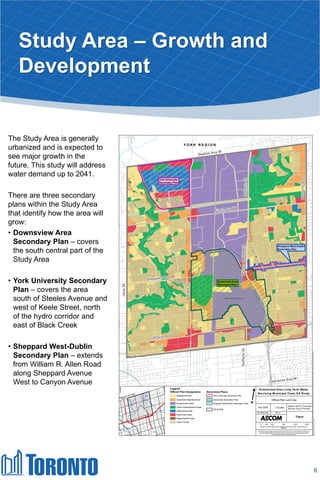


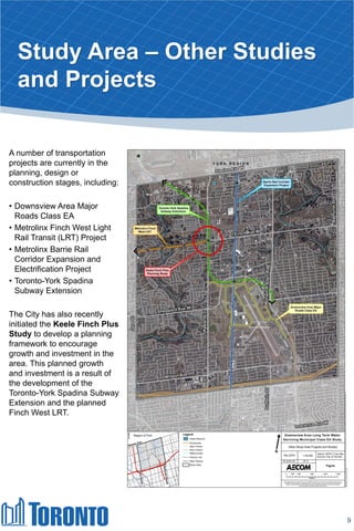
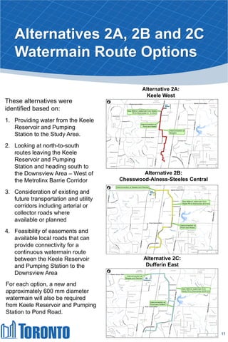
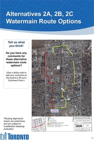


- The project is following a Schedule B Municipal Class EA process which involves identifying problems/opportunities, alternative solutions, evaluating impacts, consulting the public, and selecting a preferred solution. - The study area is generally urbanized and expected to see major growth by 2041. There are secondary plans that will guide this growth. - Existing residences in one area are experiencing low water pressure below standards. Alternative watermain routes and pumping station sites are being considered to address this issue and accommodate future development.


