Download to read offline

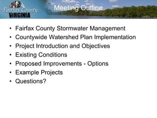
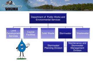
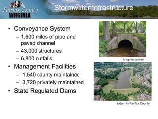
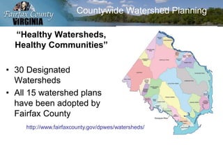
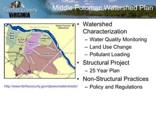
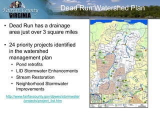

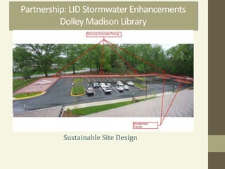
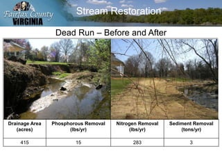
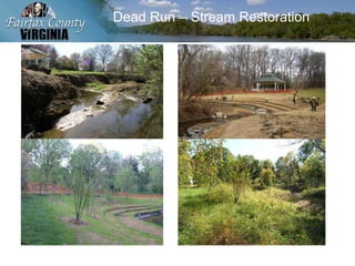
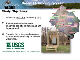
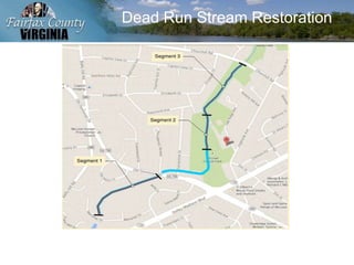

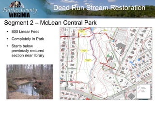
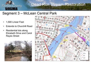


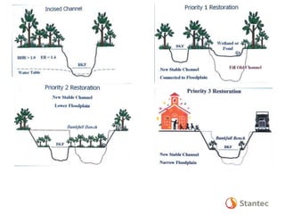


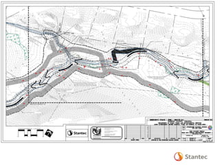
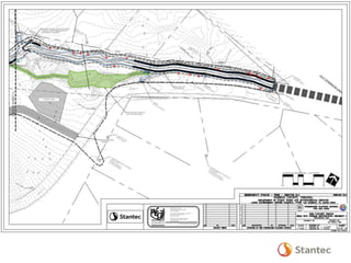


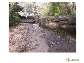
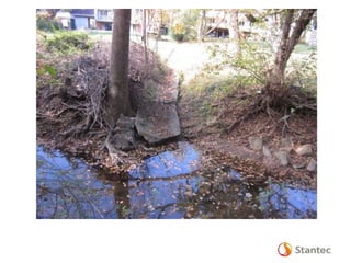
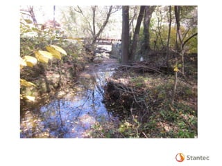


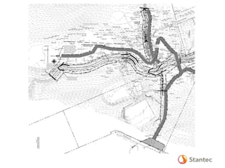
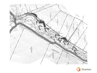

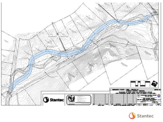


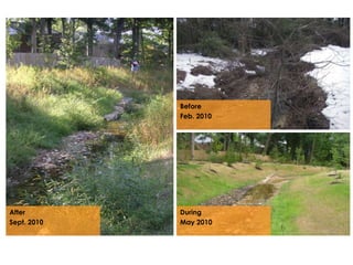


The document outlines the Dead Run Stream Restoration Project discussed during a public meeting on April 23, 2014, emphasizing Fairfax County's stormwater management and watershed planning. It includes project objectives, existing conditions, proposed improvements, and highlights of the Middle Potomac watershed plan, including 24 priority projects for Dead Run. The presentation provides details on stream restoration techniques and monitoring programs to ensure water quality improvements in the area.


