Downloaded 13 times


![σ
x
1
x
3
y
Inputs (xi) are weighted
by the wis
The neuron “fires” if the
summed activation (x·w)
is above a threshold,
giving y
[In reality, y = σ(x·w),
where σ is some
“thresholding” function]
w1
w2
w3
x
2
Artificial Neurons](https://image.slidesharecdn.com/slides-deep-learning-on-a-map-ppt-170524232637/75/Deep-Learning-on-Aerial-Imagery-What-does-it-look-like-on-a-map-10-2048.jpg)


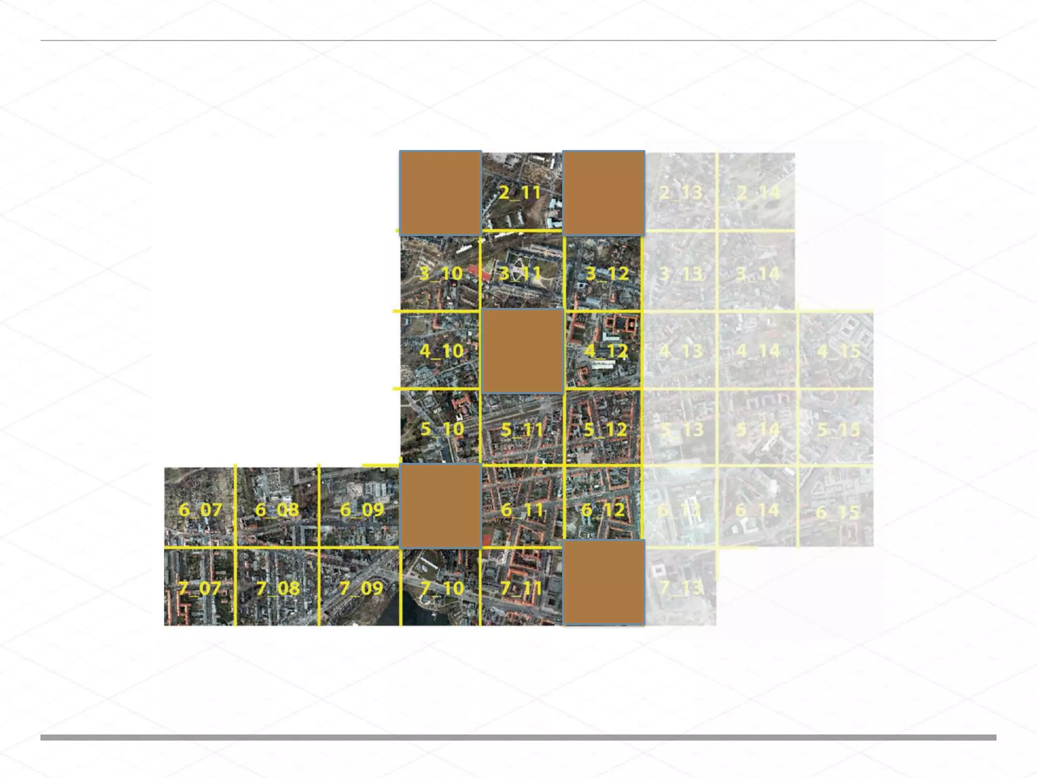
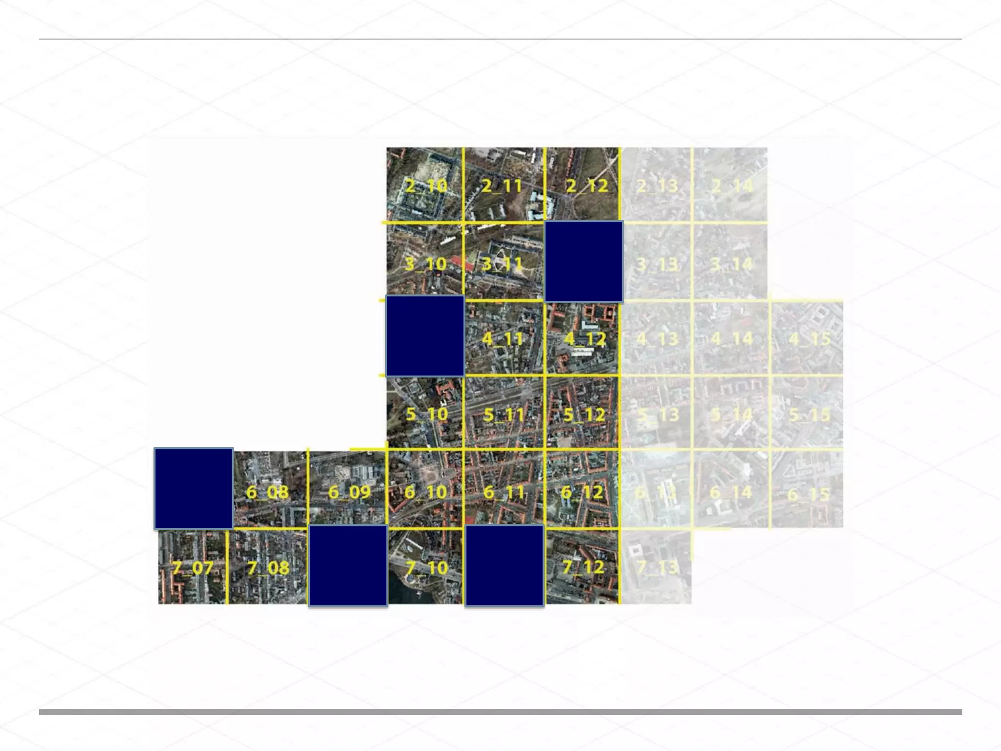

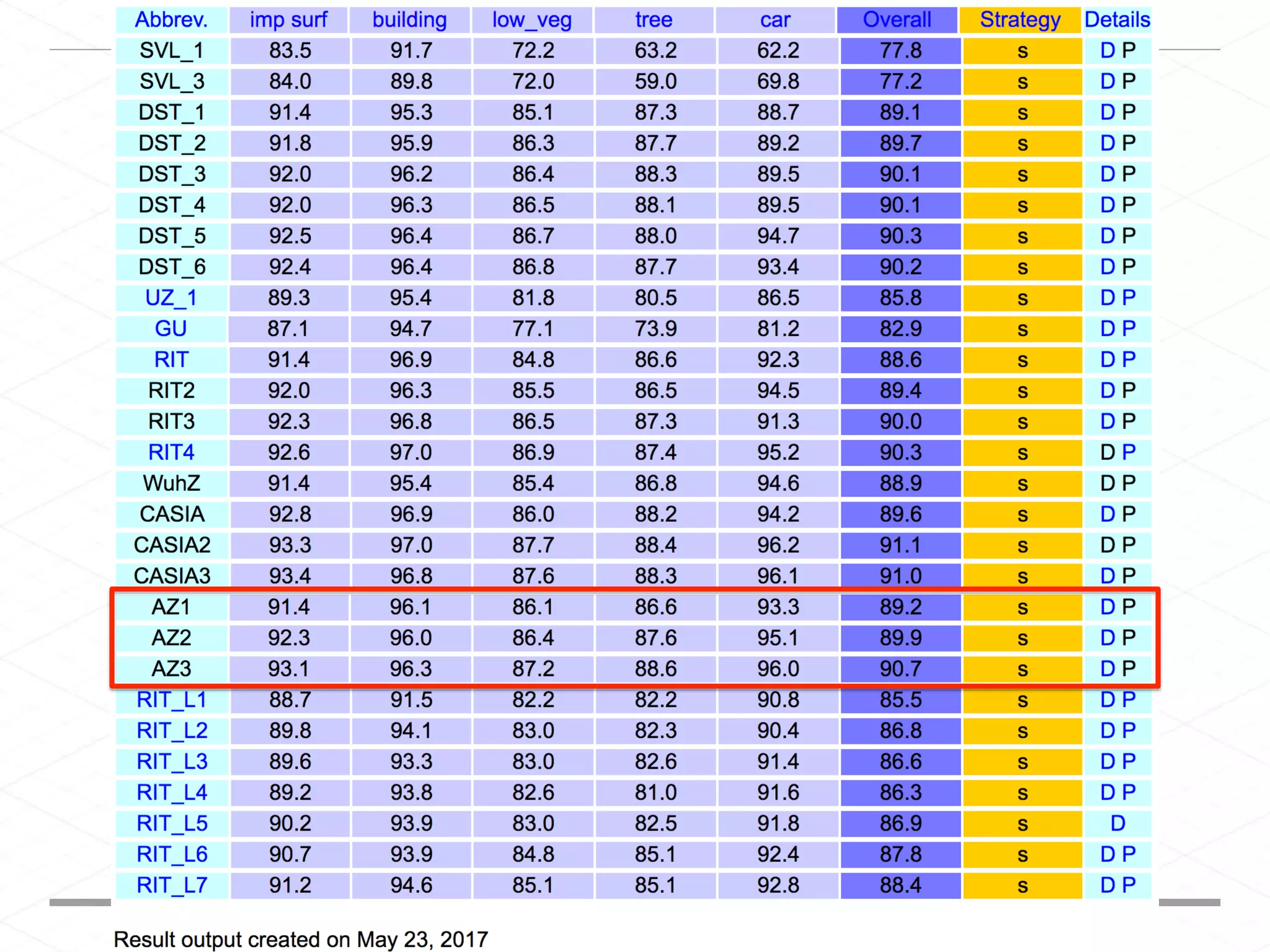


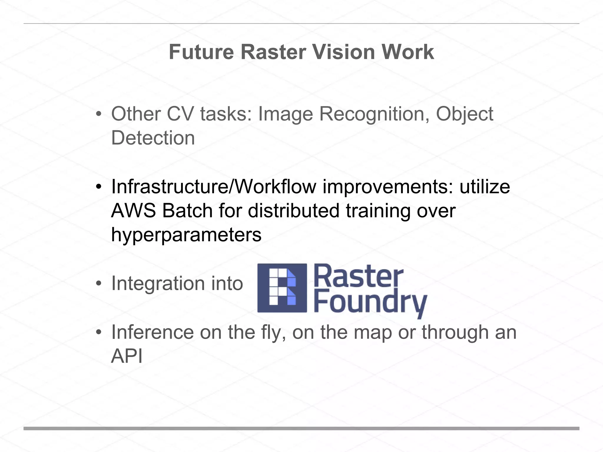


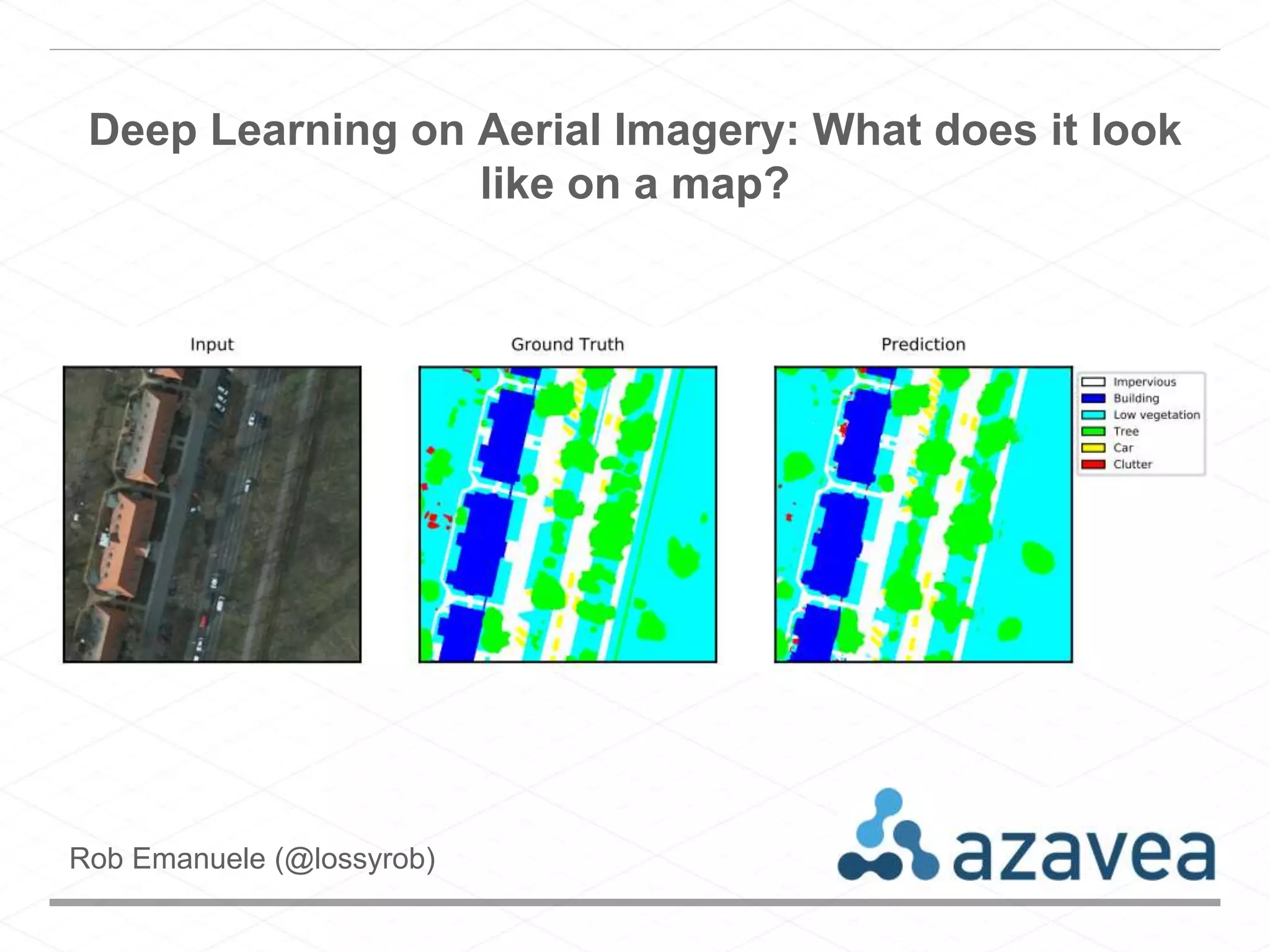
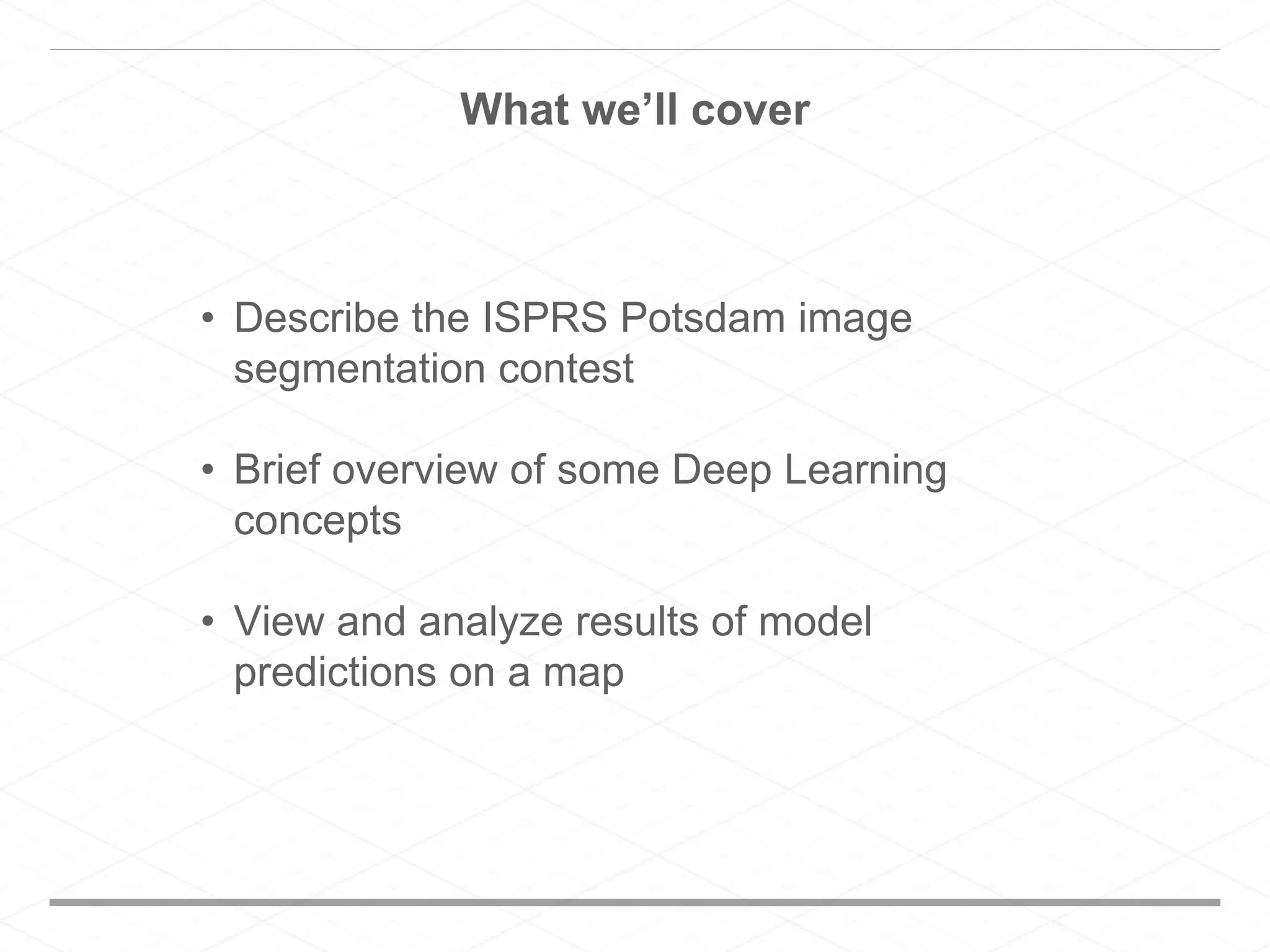
This document discusses using deep learning models to segment aerial imagery from a mapping contest. It provides an overview of deep learning concepts like artificial neurons, neural networks, convolutional neural networks and fully convolutional networks. It then describes experiments using a U-Net and FCN models with cross validation and ensemble learning to segment the aerial imagery. Results of the deep learning predictions are visualized on an interactive map. Future work discussed includes applying these techniques to other computer vision tasks and improving the infrastructure for distributed training.


