Download as PDF, PPTX
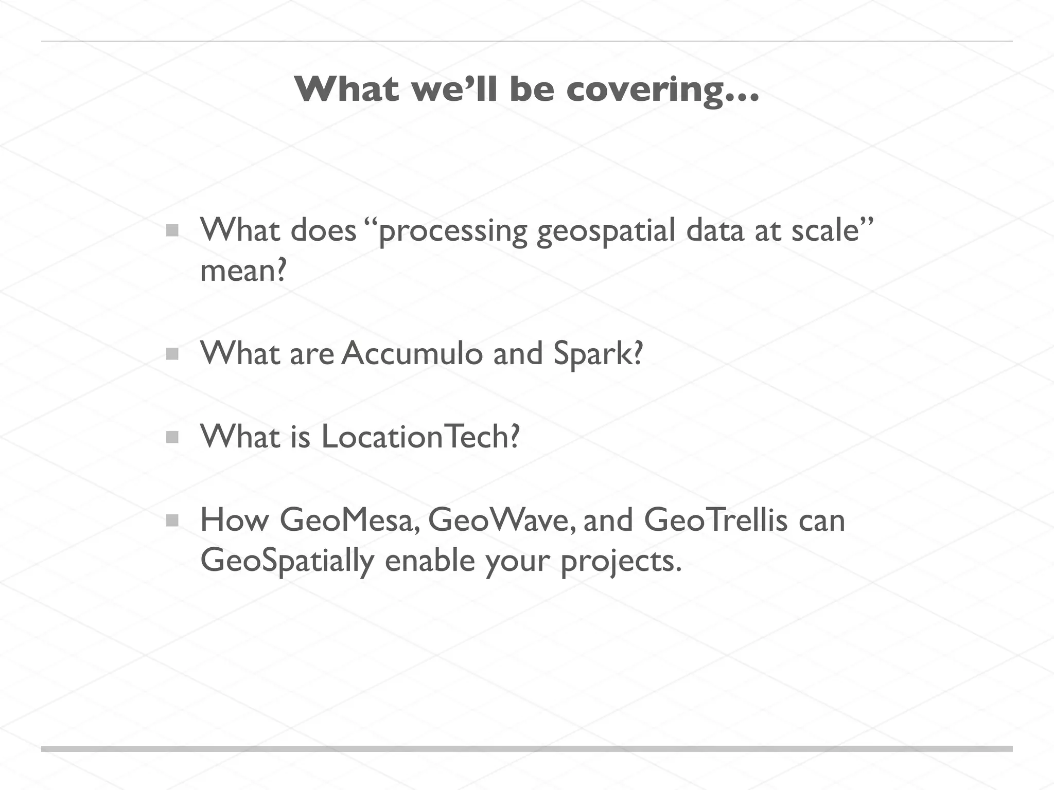

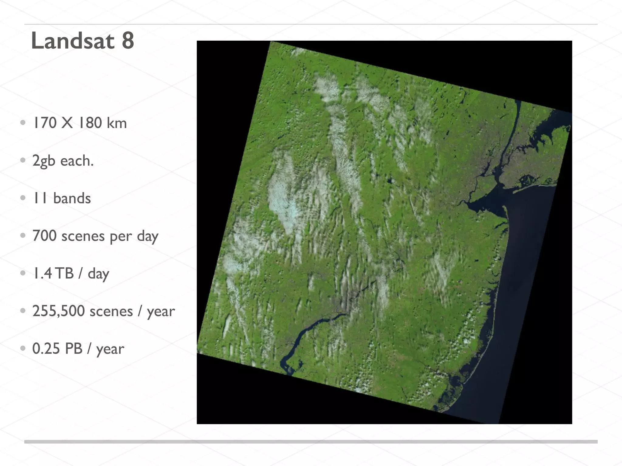
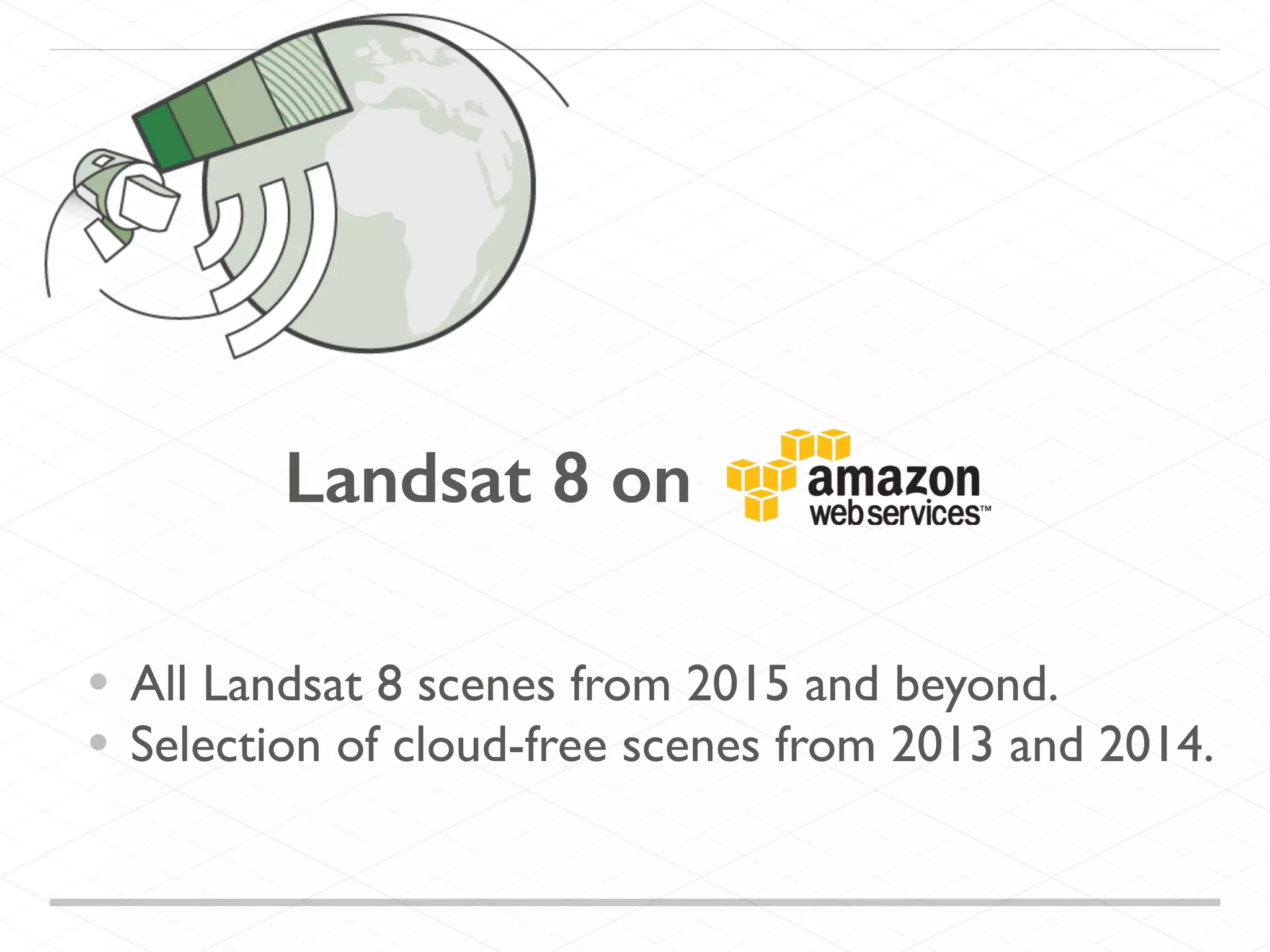
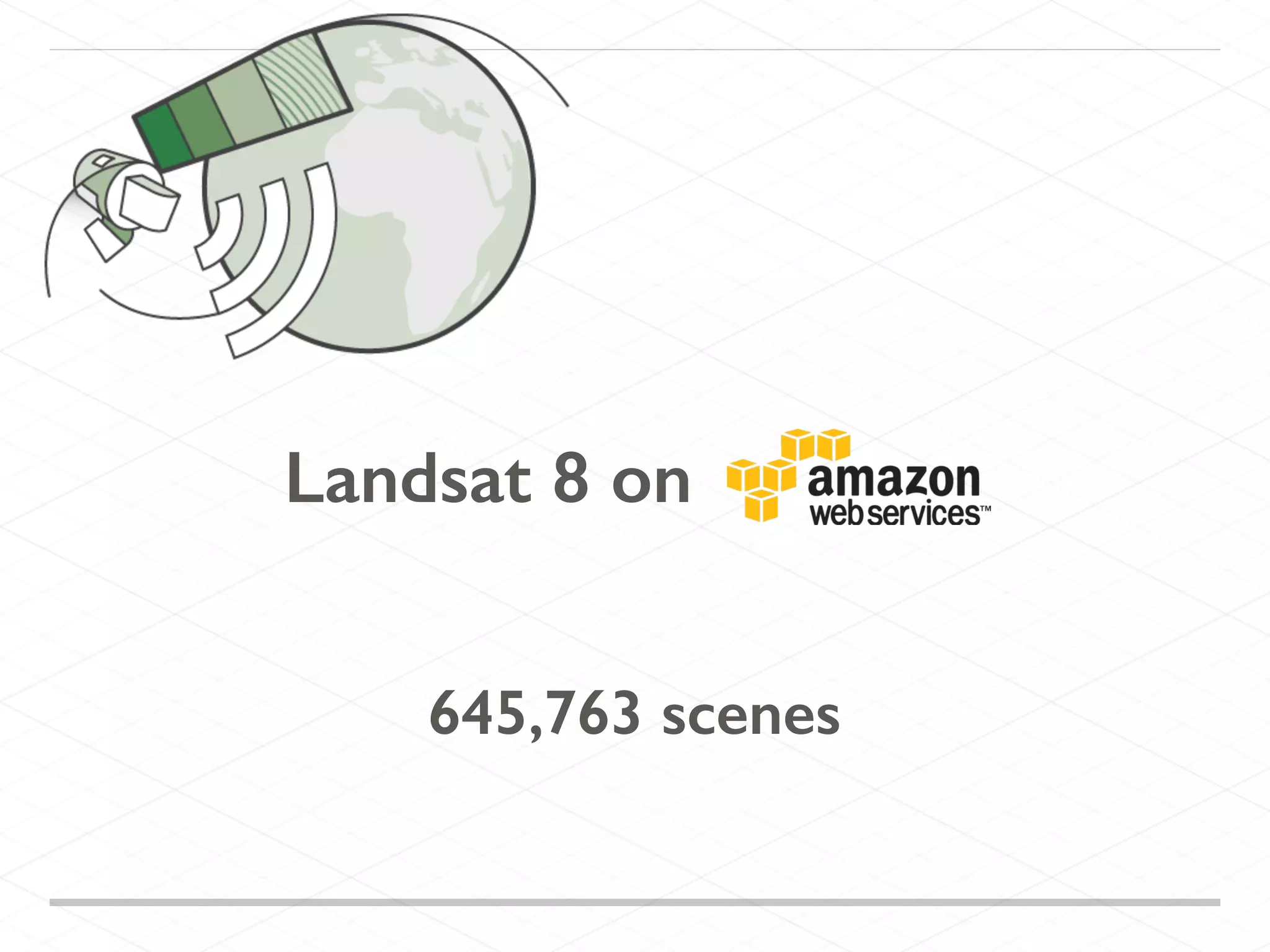
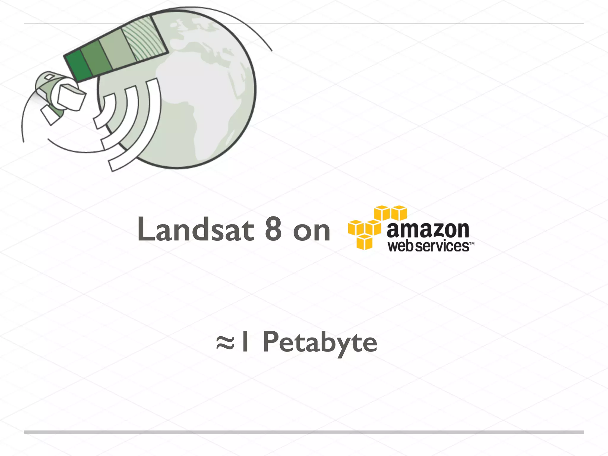


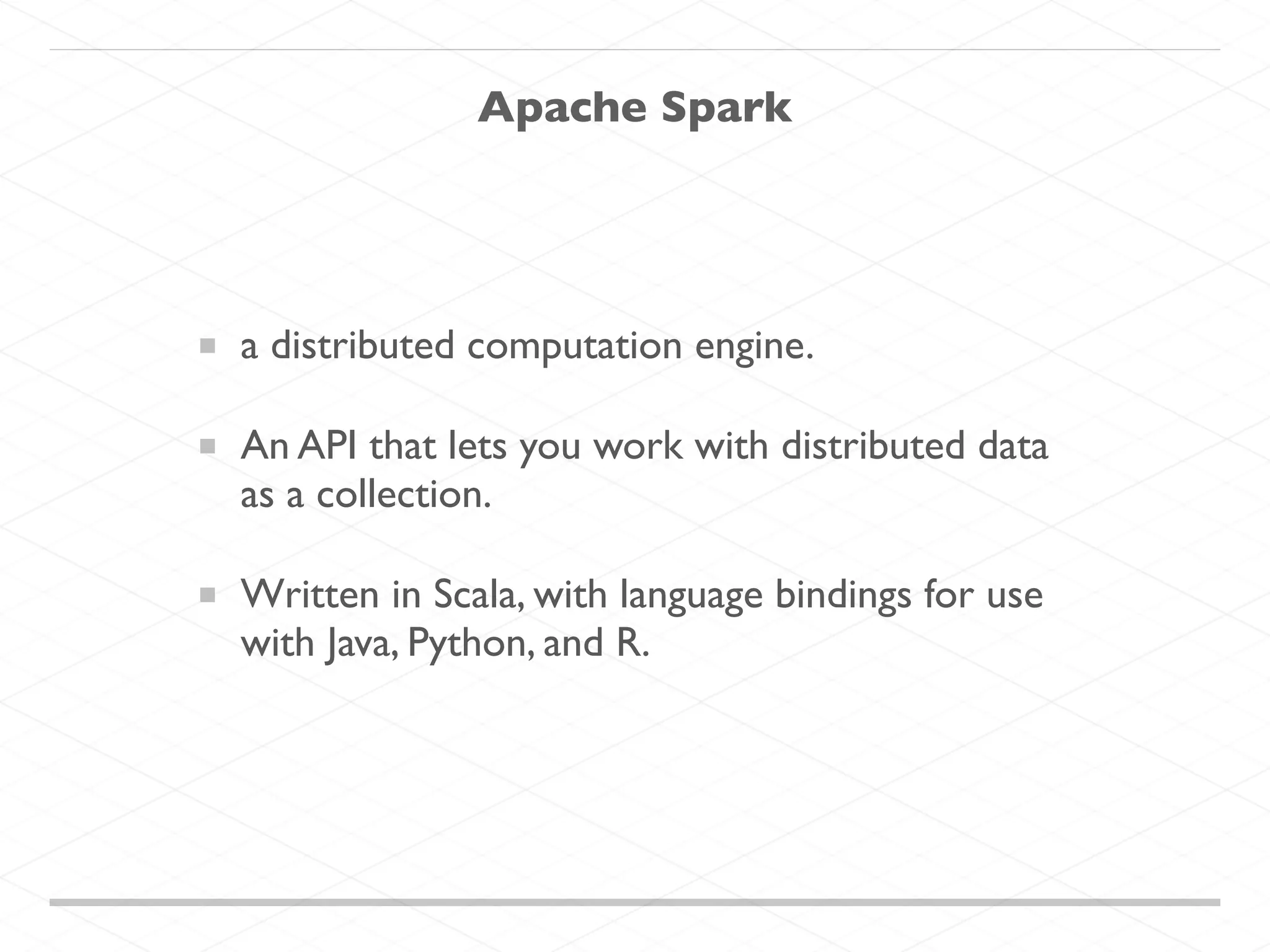
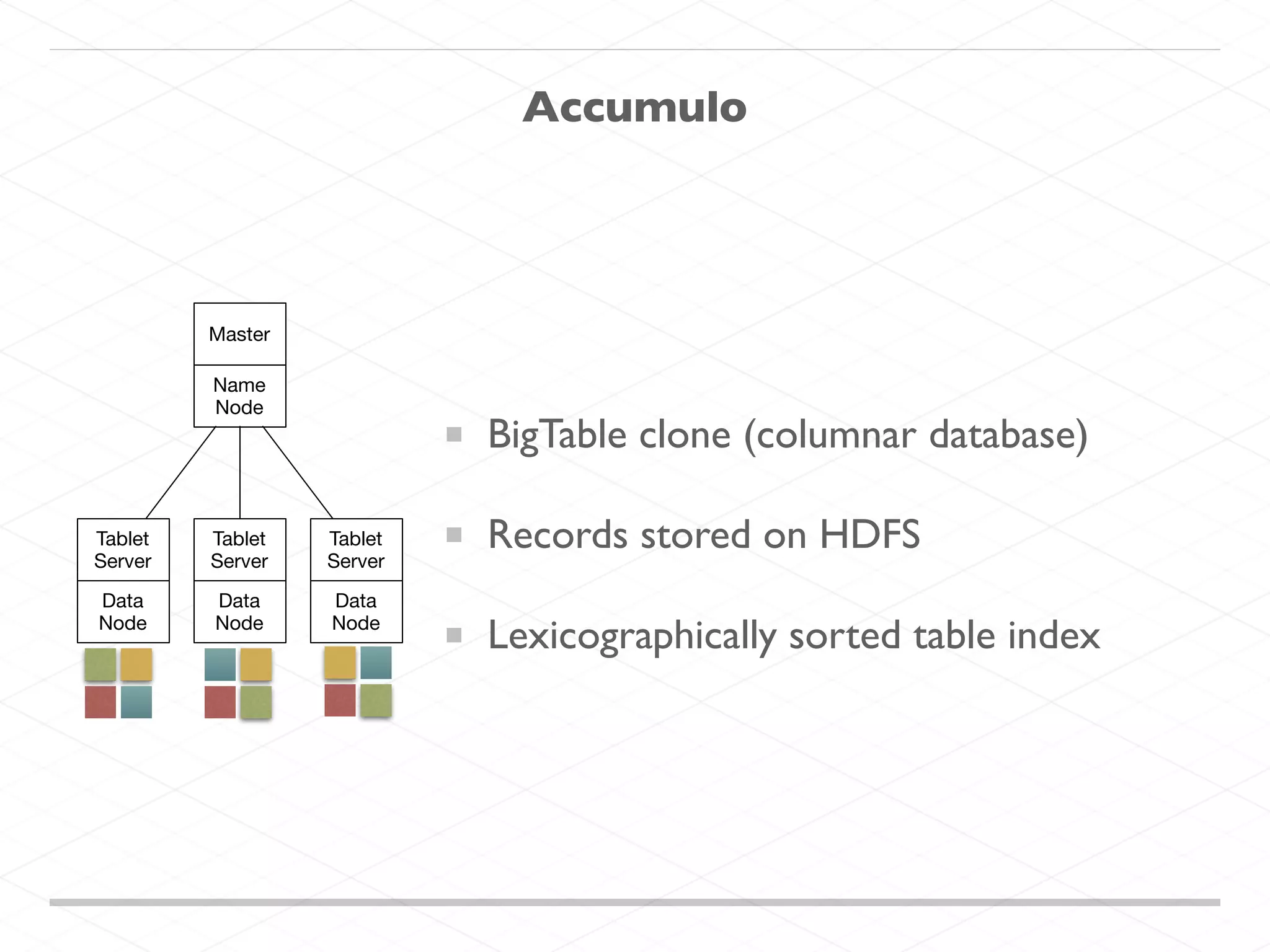
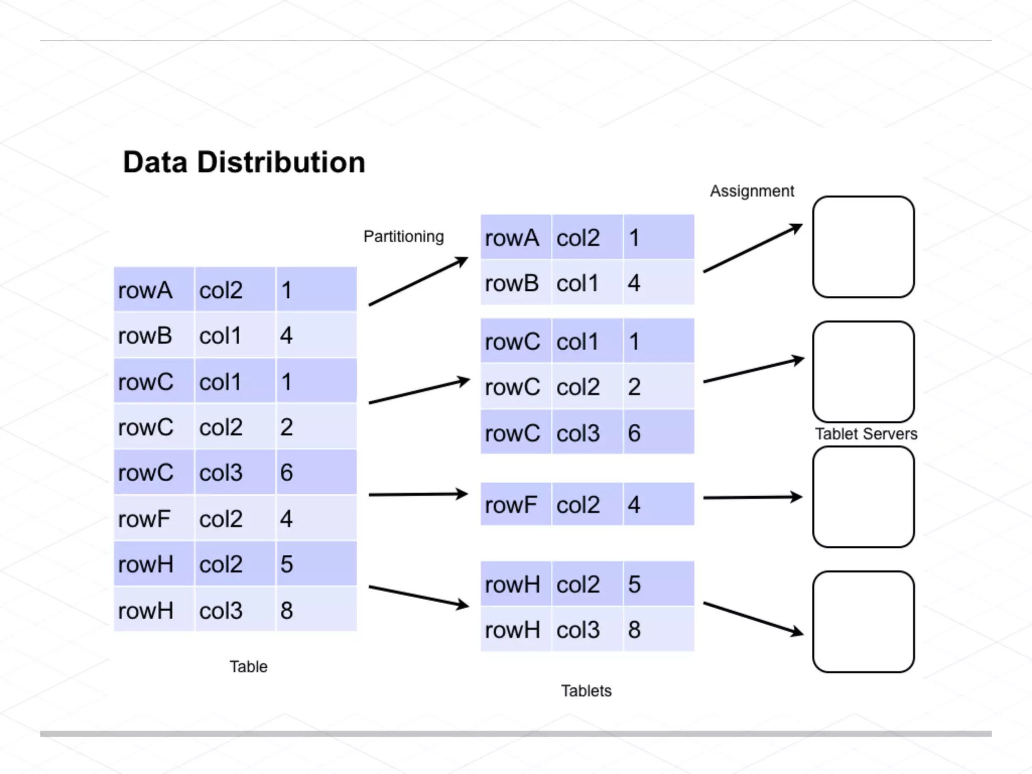

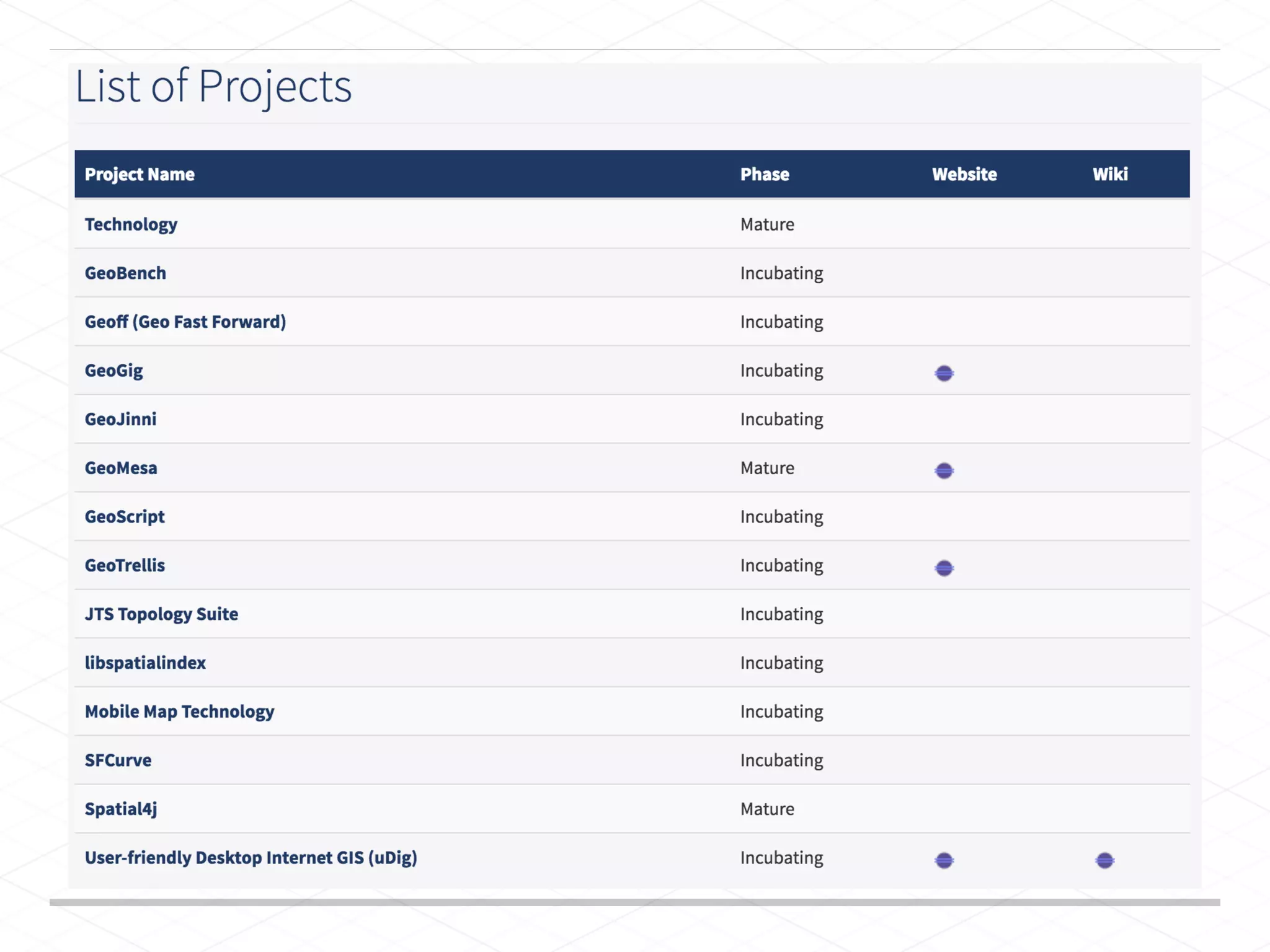
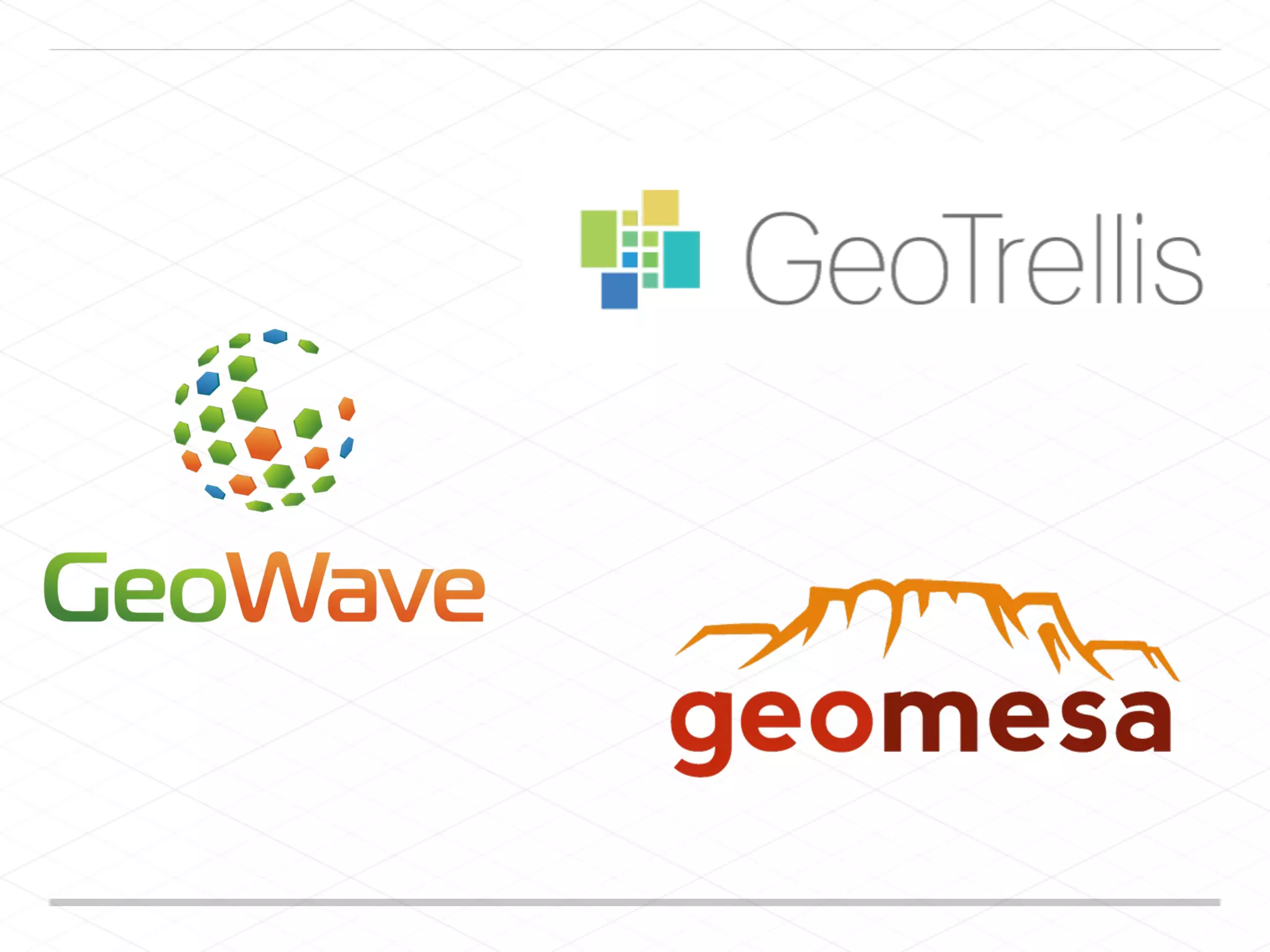
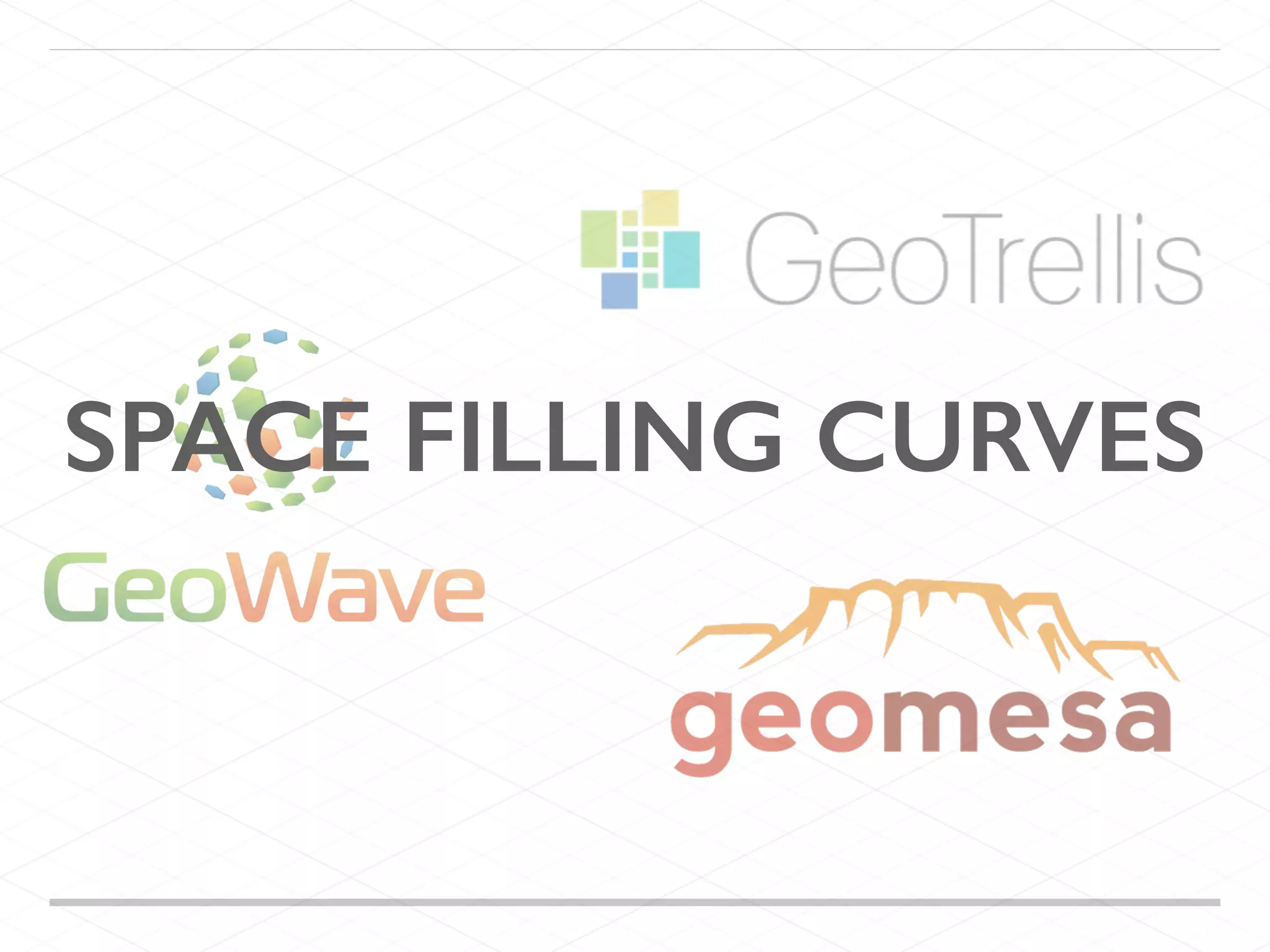
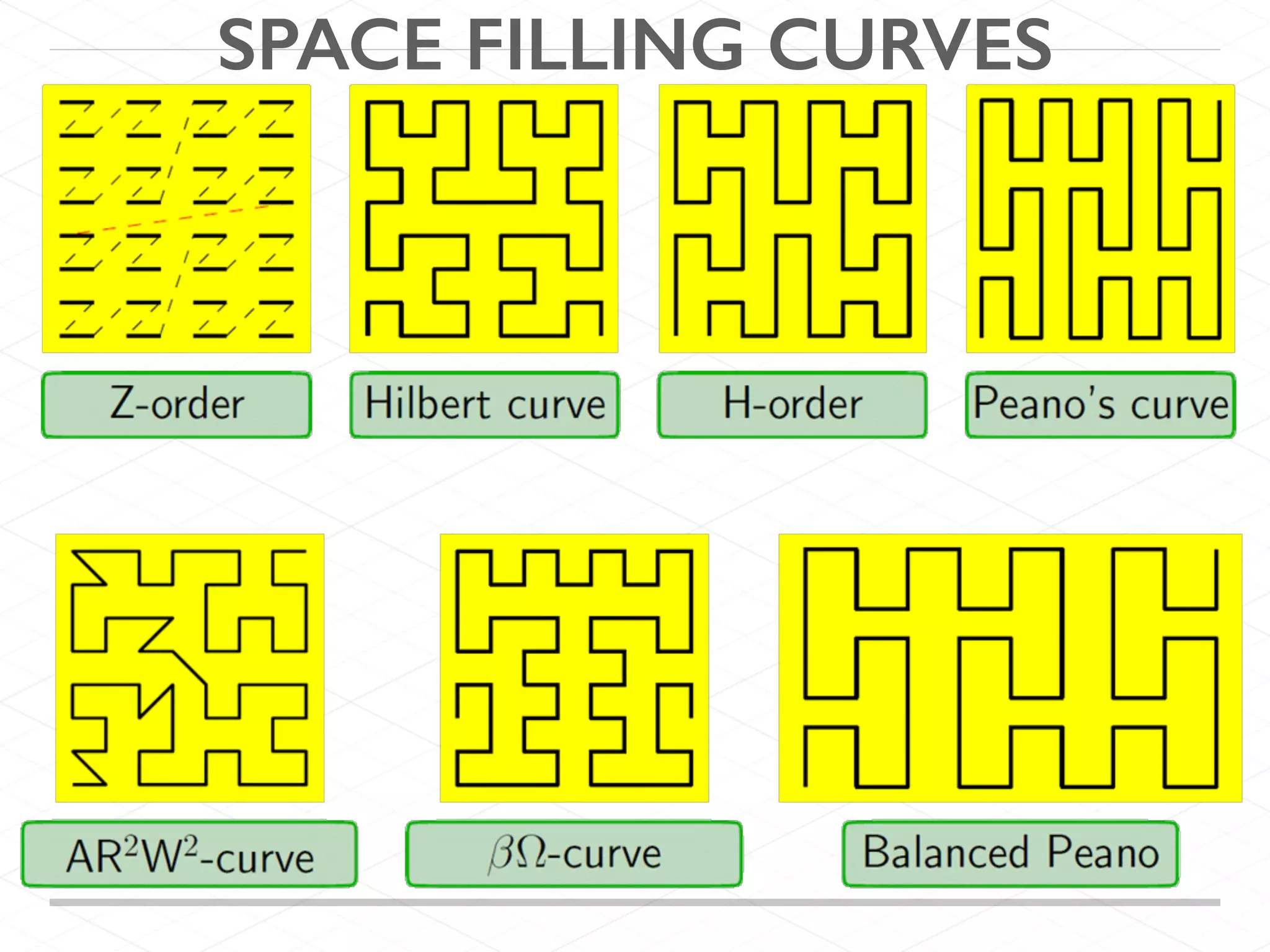
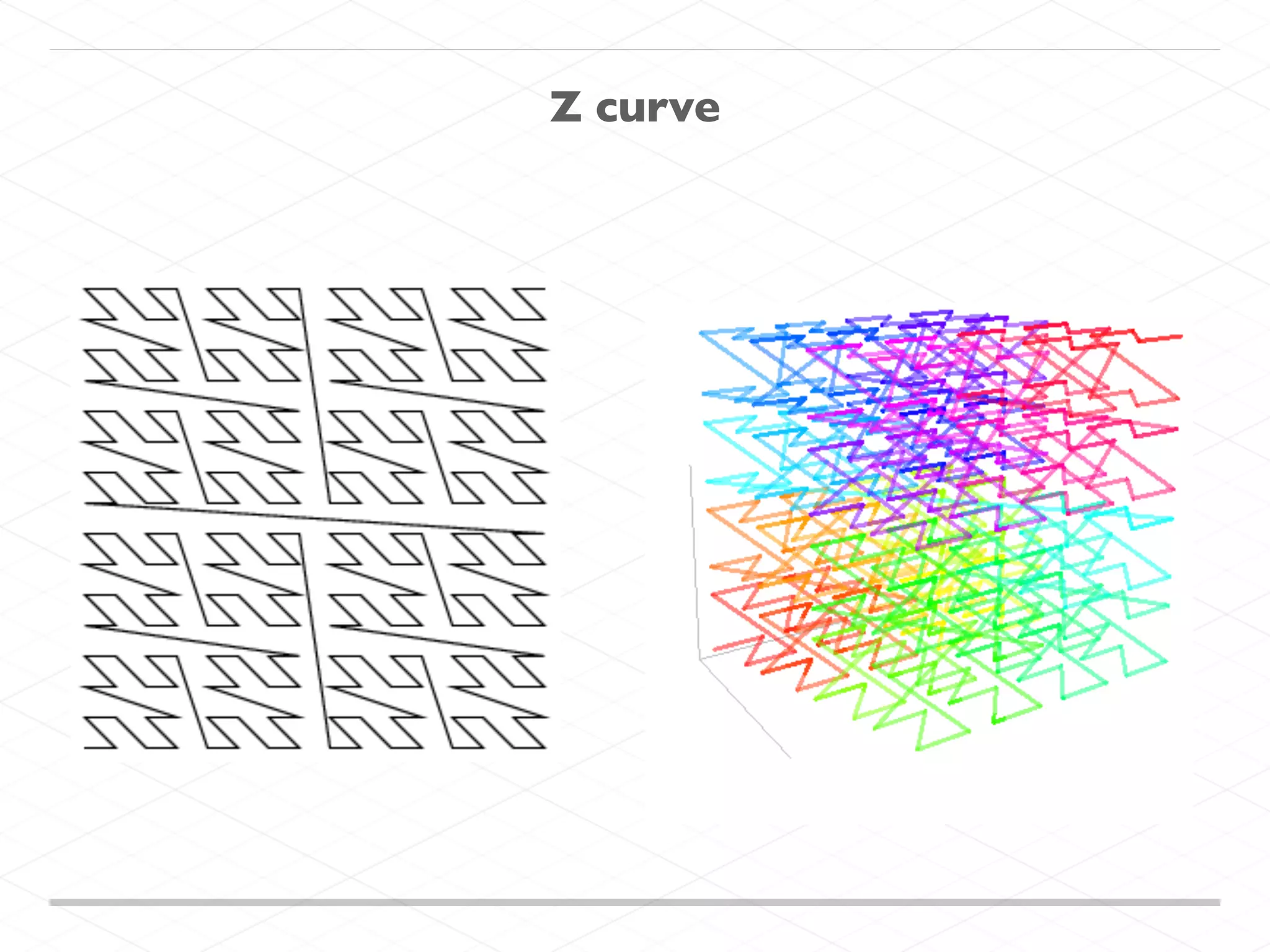
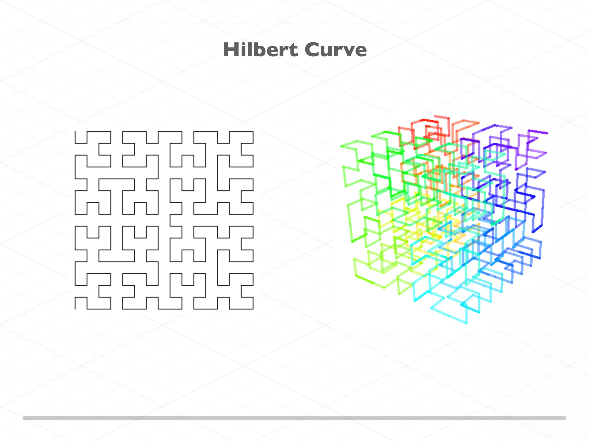
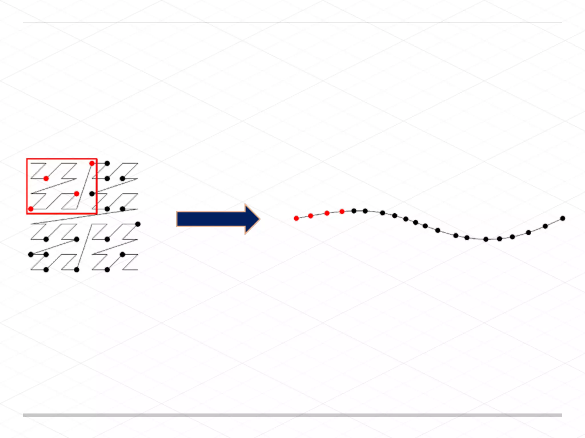
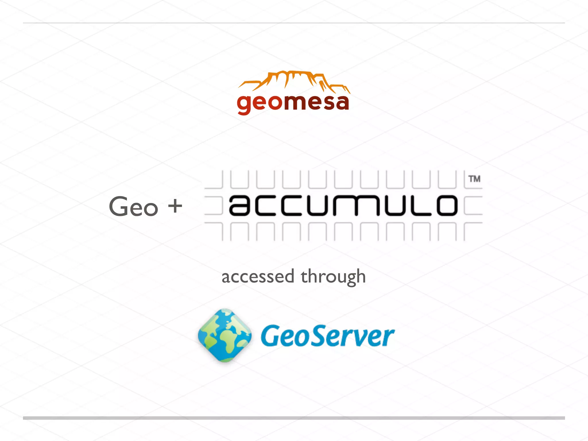
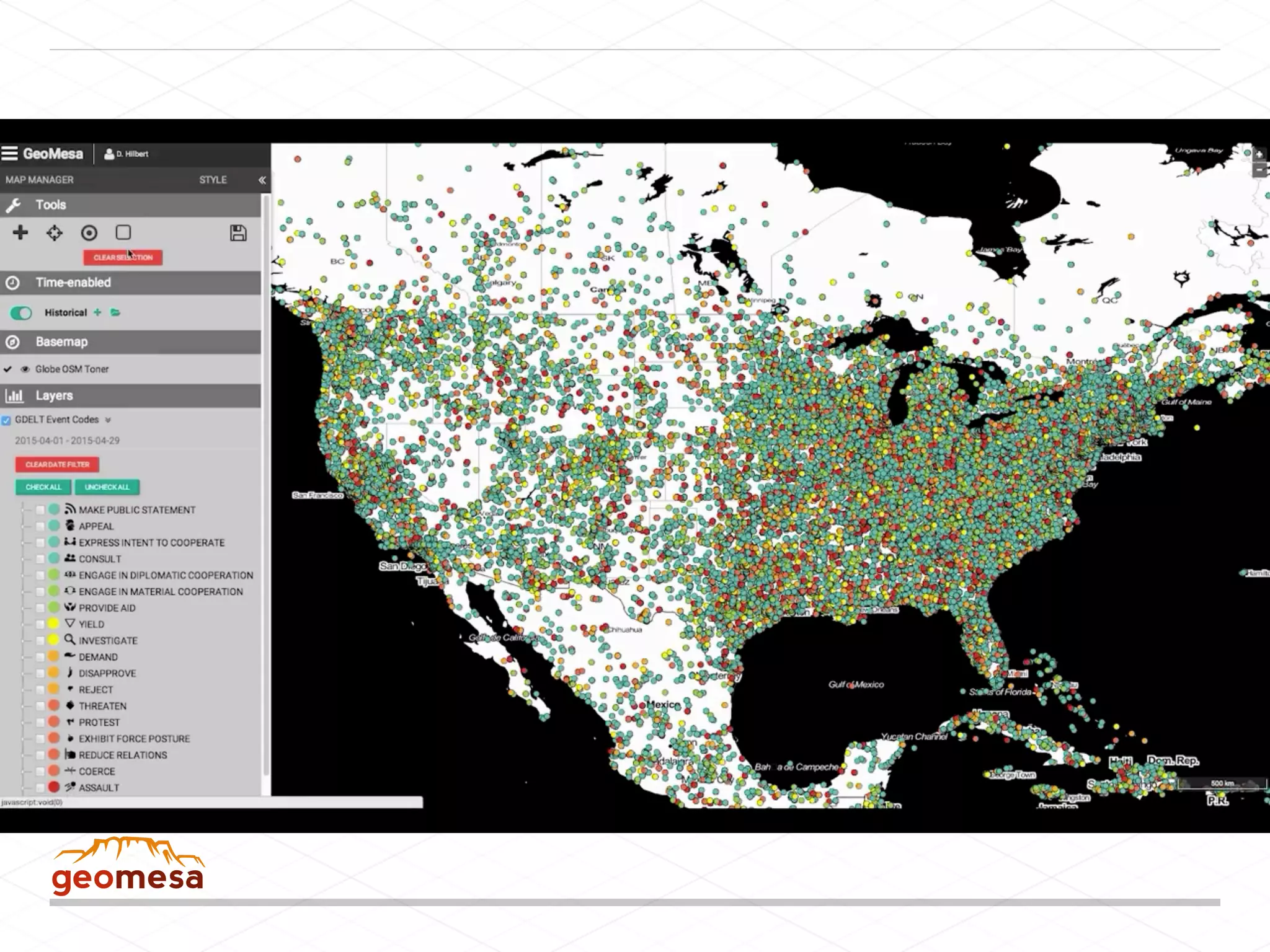
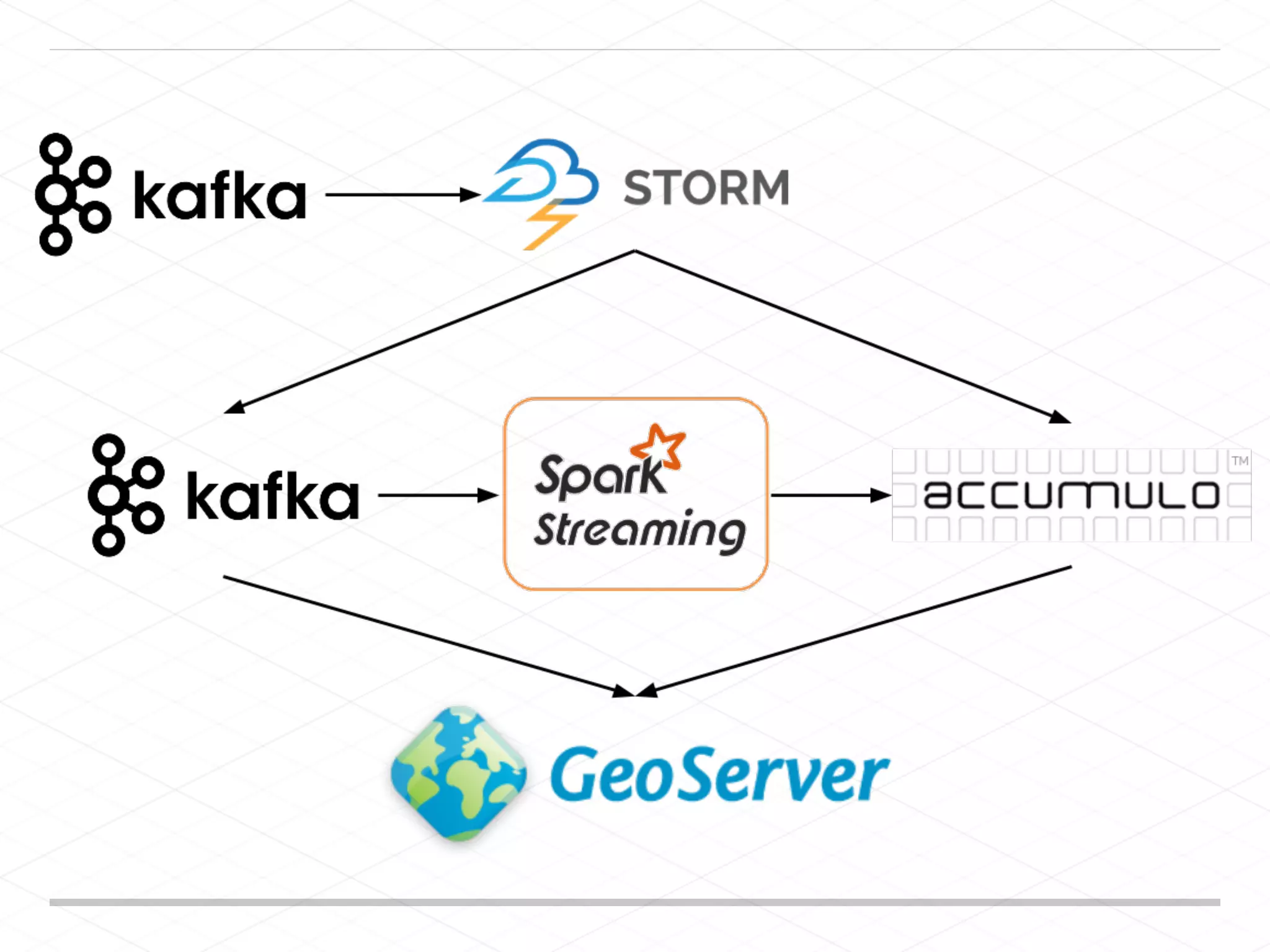
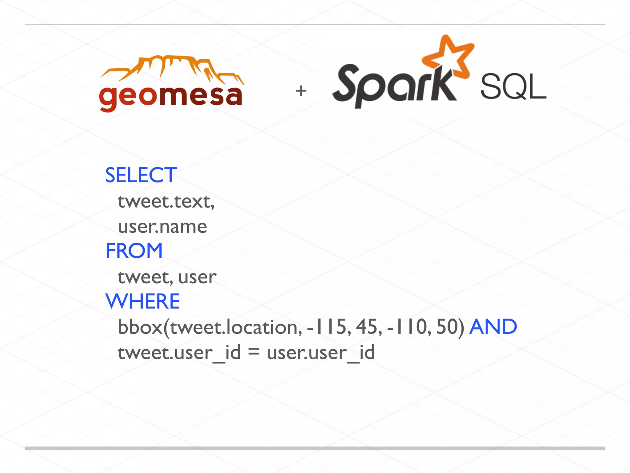
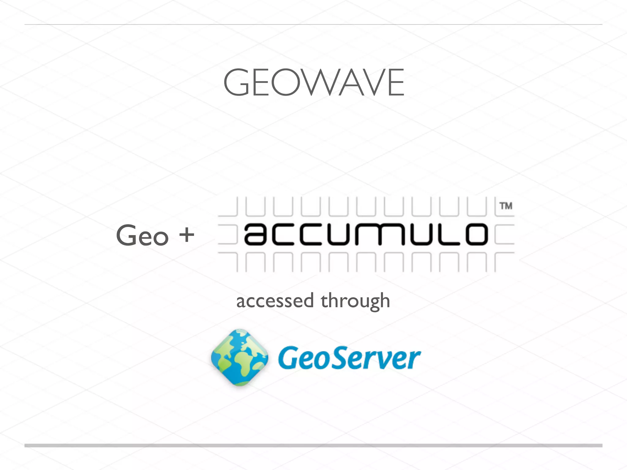
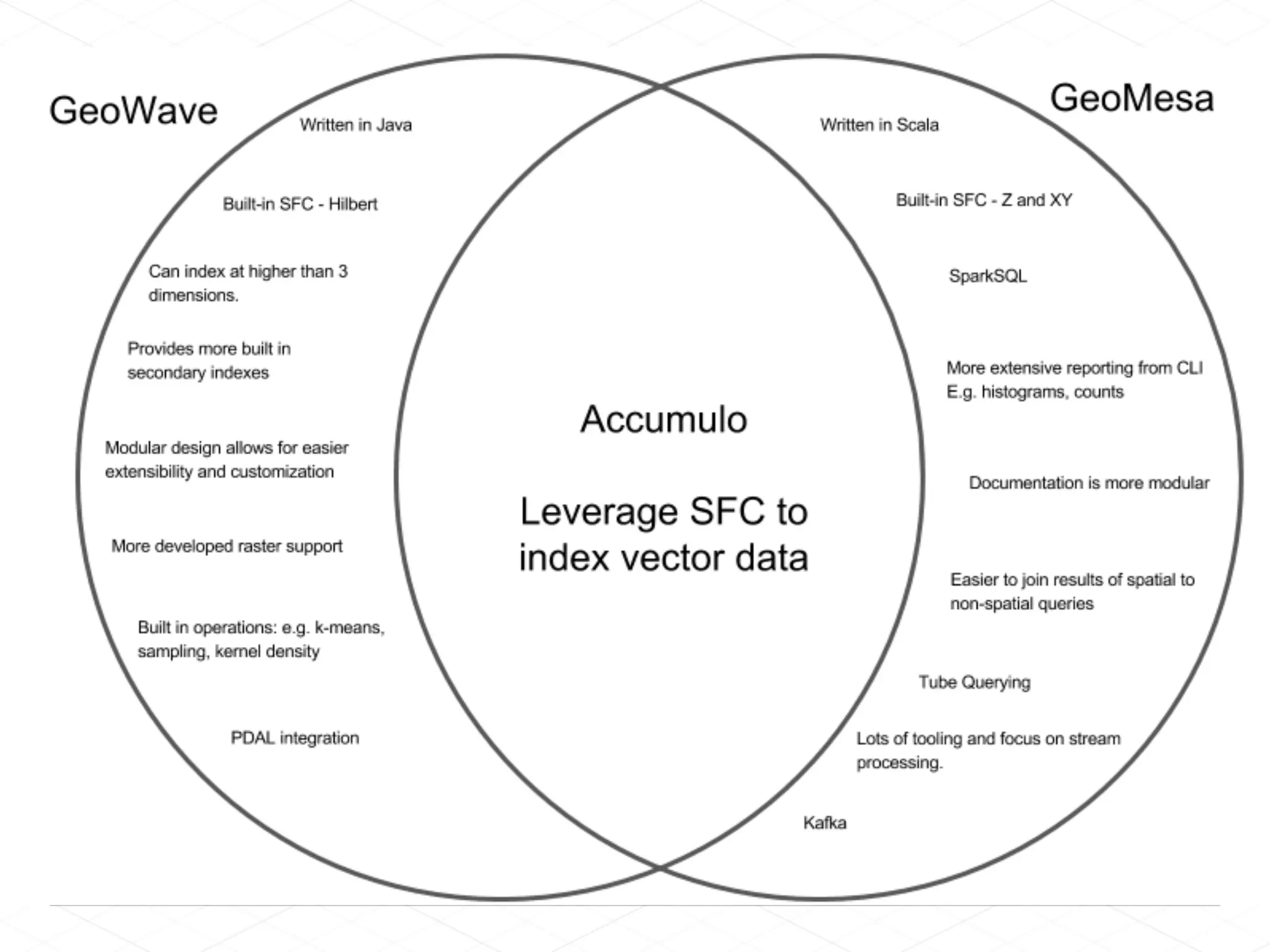
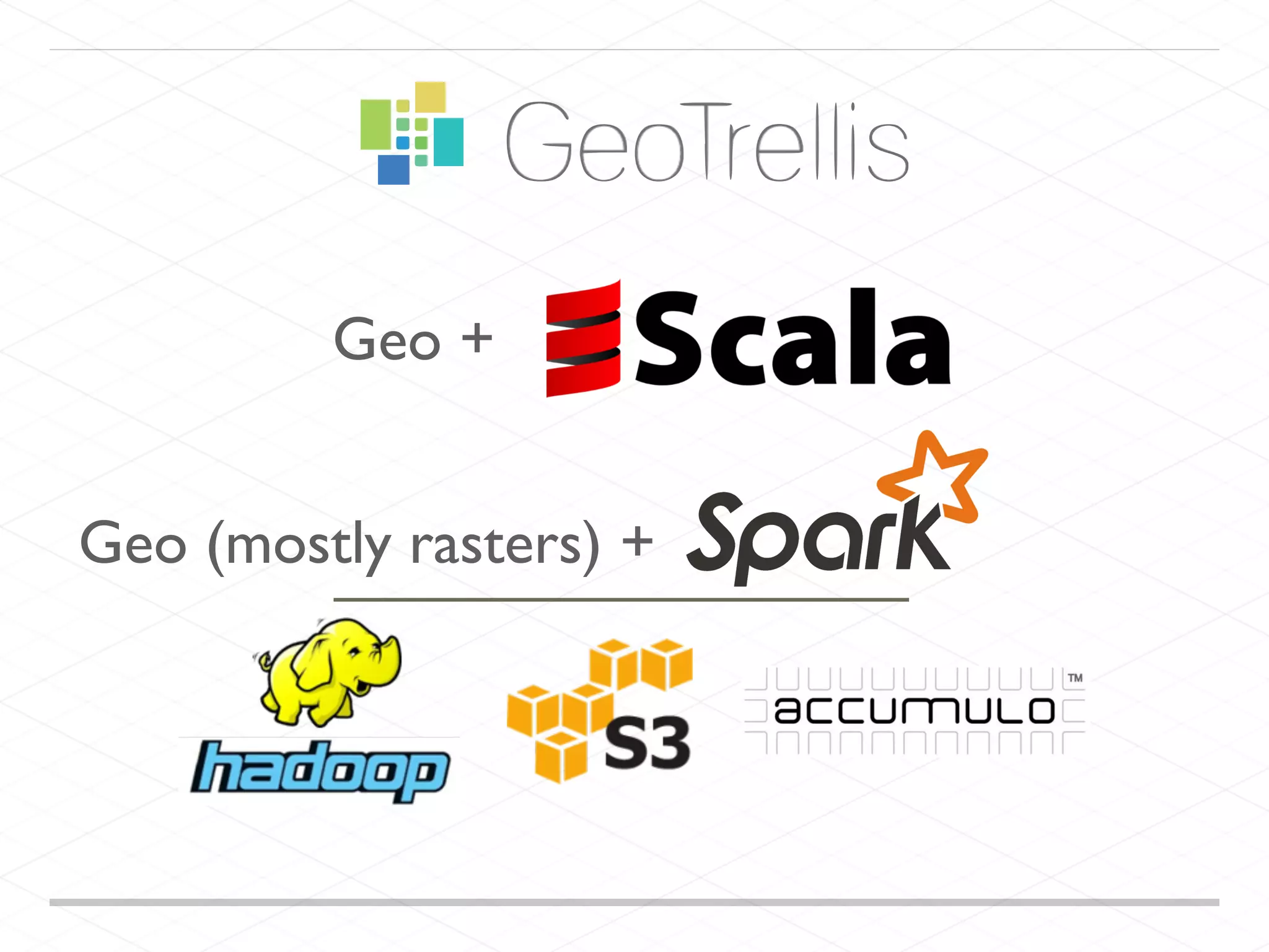
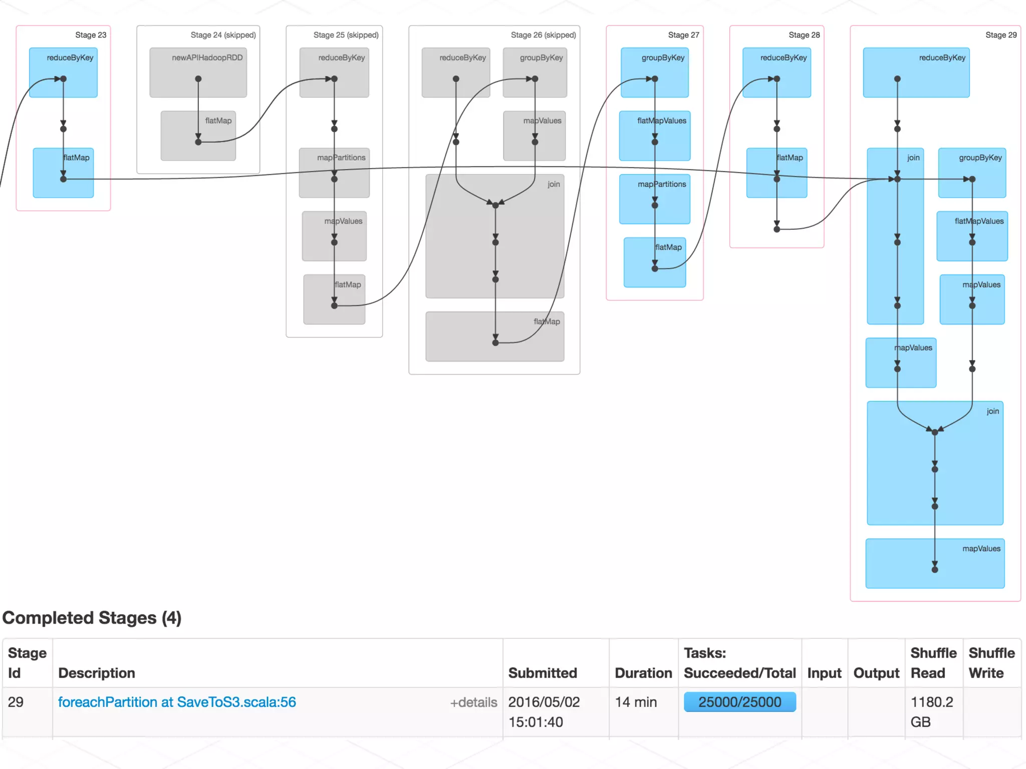
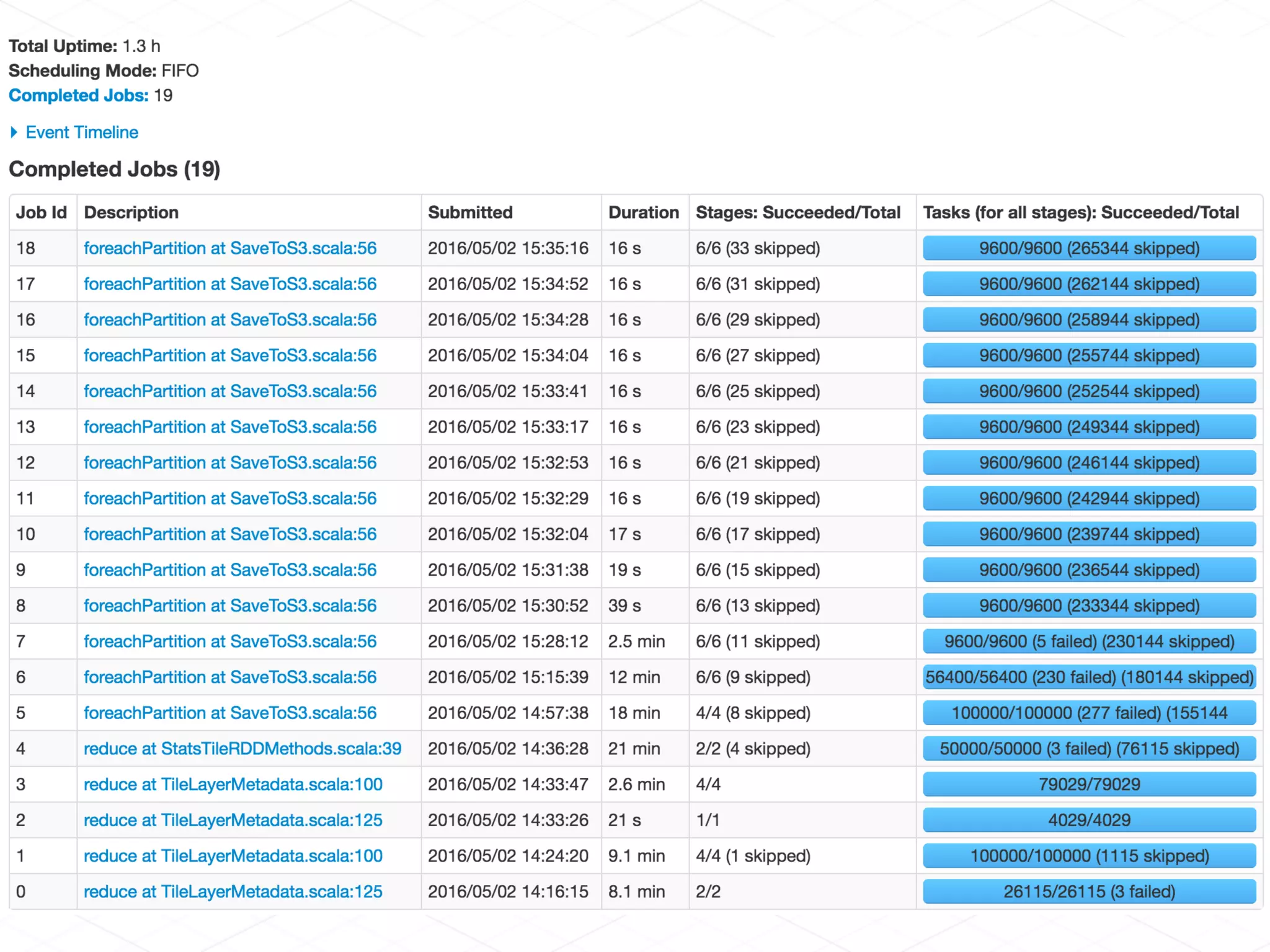
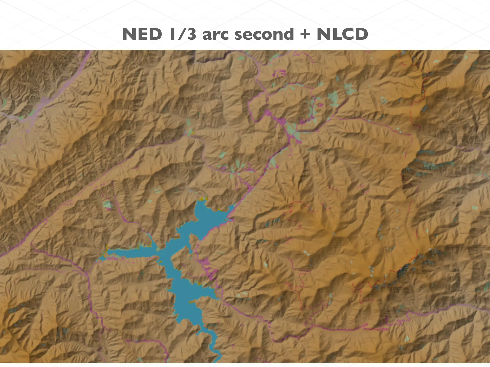

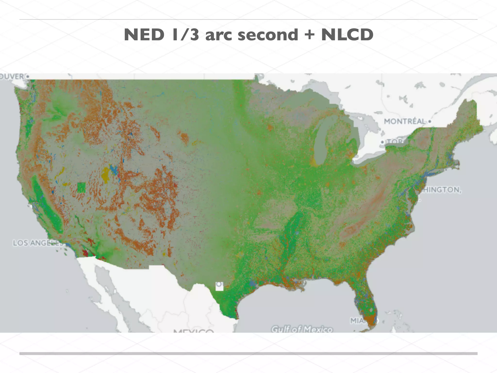
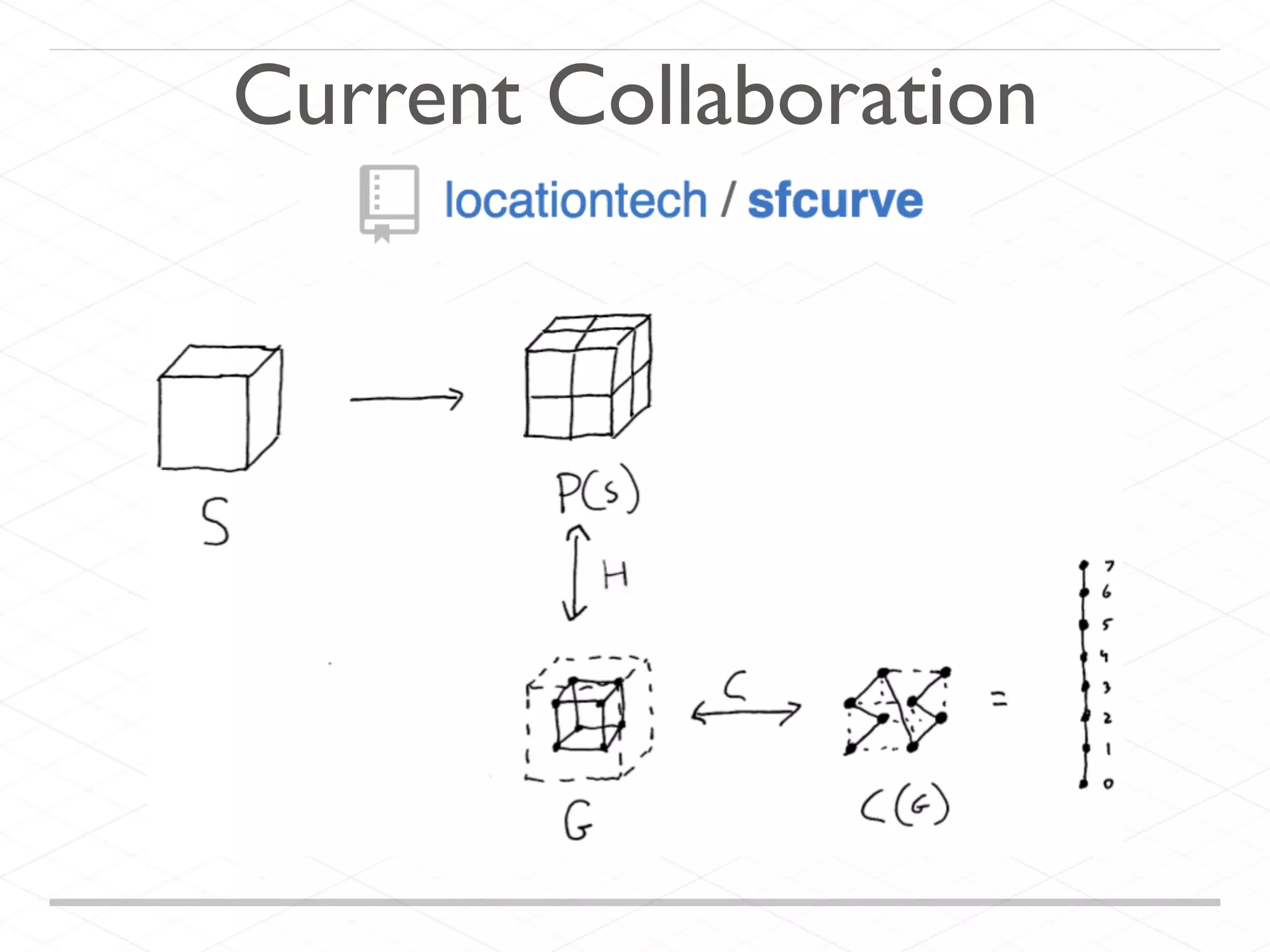


The document discusses processing geospatial data at scale, featuring tools like Apache Spark, Accumulo, and various LocationTech projects like GeoMesa and GeoWave. It highlights the capabilities and scale of Landsat 8 data, including storage needs and scene processing. The text also invites collaboration and interaction with the authors for tackling geospatial data challenges.


![[FOSS4G Korea 2016] GeoHash를 이용한 지형도 변화탐지와 시계열 관리](https://cdn.slidesharecdn.com/ss_thumbnails/foss4g2016koreageohash-160905074529-thumbnail.jpg?width=640&height=640&fit=bounds)


![Vibe Coding vs. Spec-Driven Development [Free Meetup]](https://cdn.slidesharecdn.com/ss_thumbnails/vibecodingvsspecdrivendevelopment-251209105622-43f455e7-thumbnail.jpg?width=640&height=640&fit=bounds)


